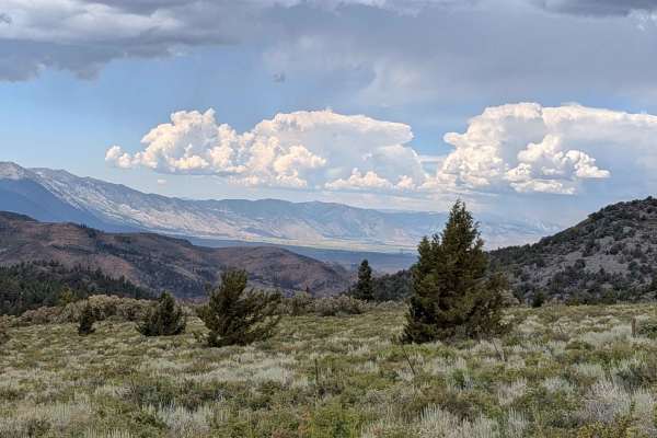
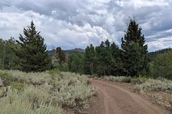
Trail Overview
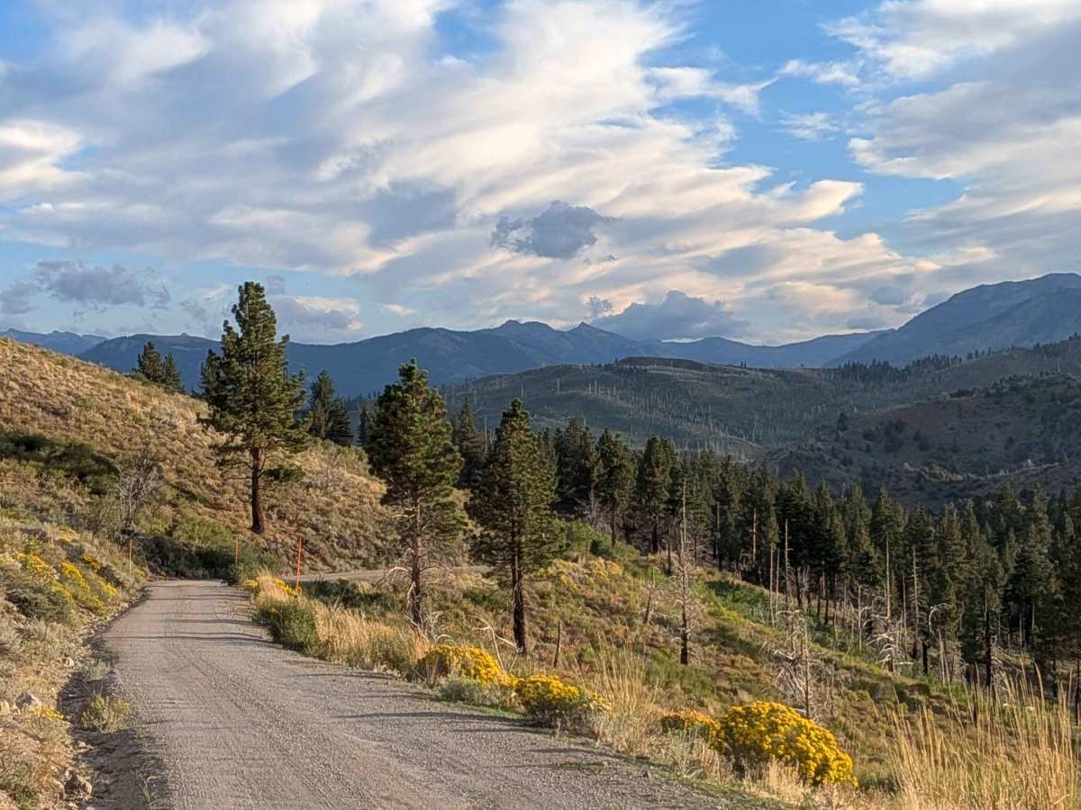
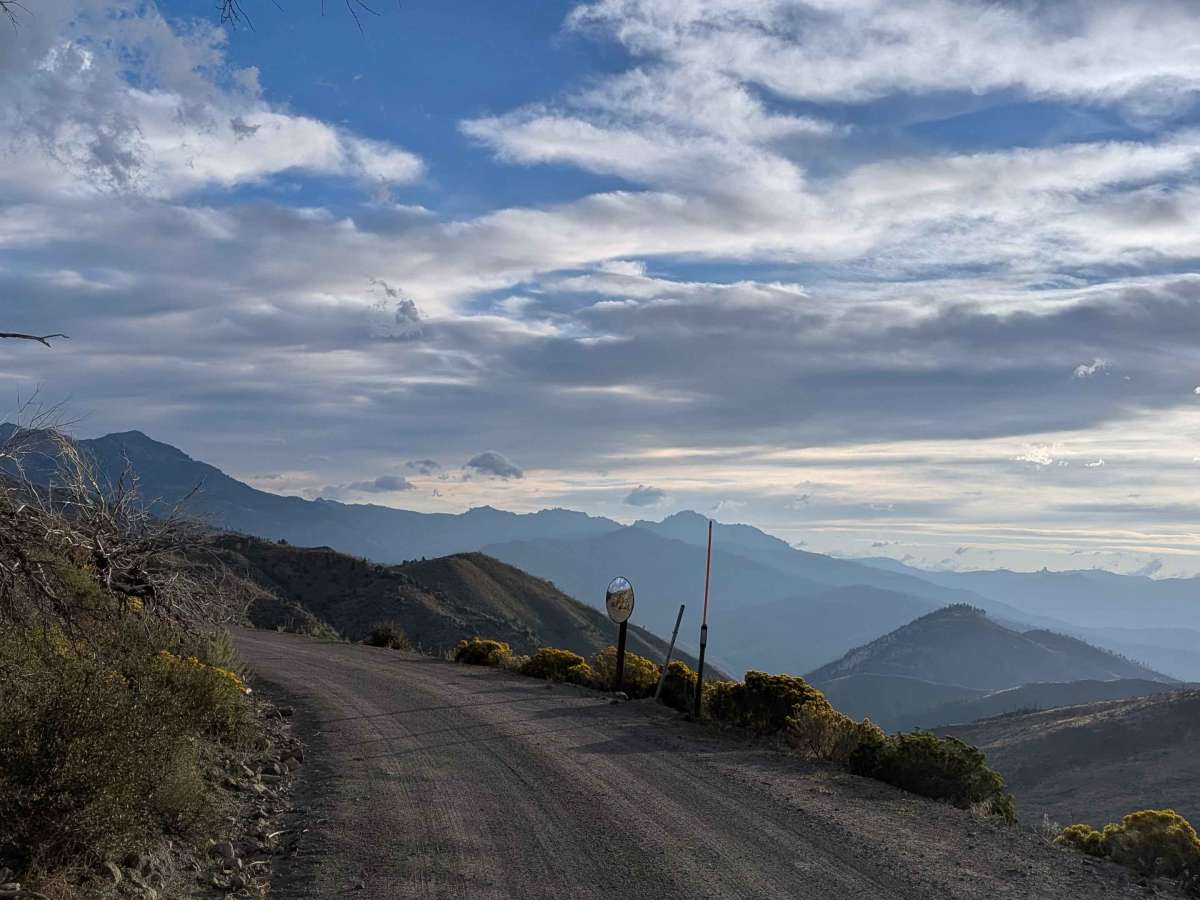
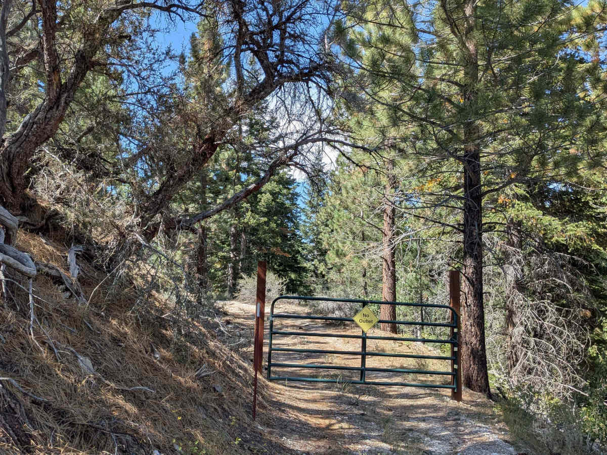
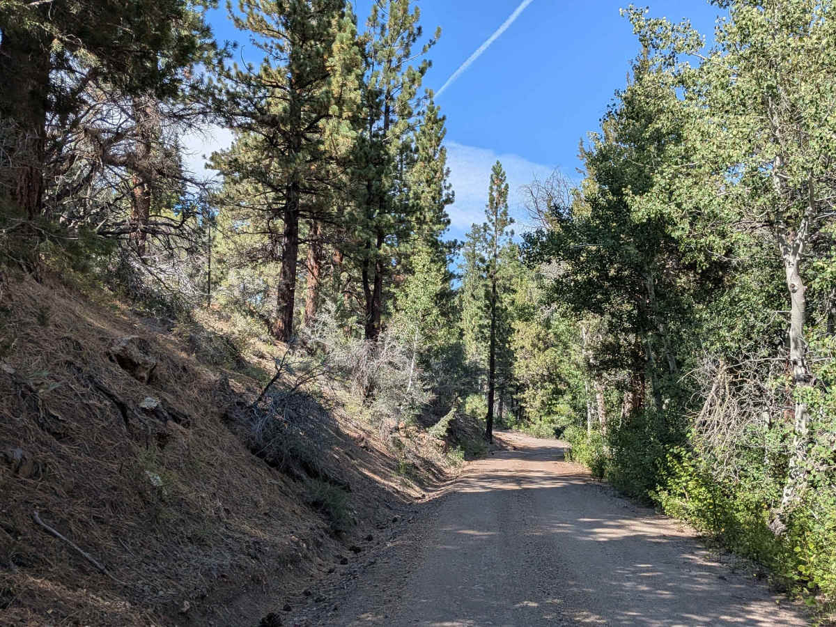
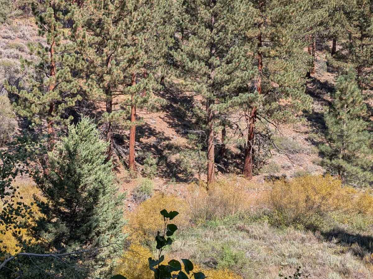
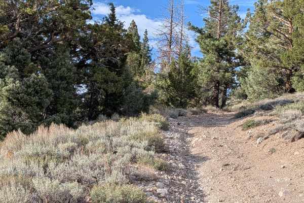
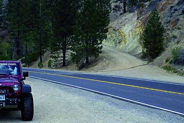
This short out-and-back trail begins directly off Highway 89. It starts paved but quickly transitions to dirt as it winds its way toward an active mine. The road is just wide enough for two vehicles in some stretches, but it narrows to a single lane in others. Use caution around blind curves, and be mindful of truck traffic heading to and from the mine. The trail climbs about 63 feet before dropping over 640 feet in less than 3 miles. It ends at a locked gate at the mine, which is private property and not open to the public.
Difficulty
A smooth, short drive suitable for most vehicles. The primary challenge is sharing the road with mine traffic and navigating narrow, blind sections.
History
The Leviathan Mine began in 1863 as a copper sulfate mine before switching to sulfur mining in the 1950s, an open-pit operation by Anaconda Company that eventually led to the creation of acid mine drainage (AMD). The mine closed in 1962, and its ongoing environmental contamination, particularly from AMD, resulted in its designation as a Superfund site by the Environmental Protection Agency in 2000. The State of California purchased the property to address these long-term water quality issues, and continues to manage a pollution abatement project at the site