Trail Overview
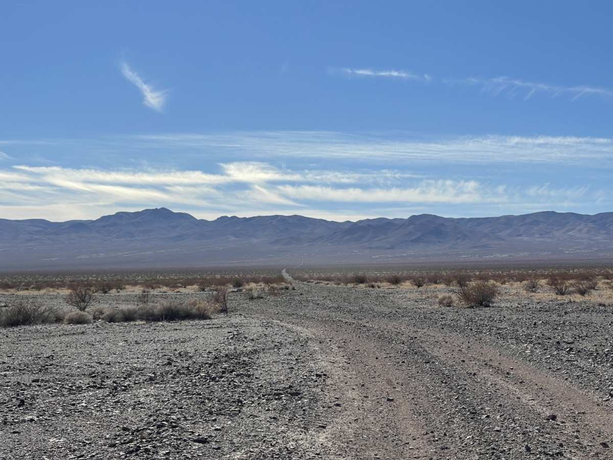
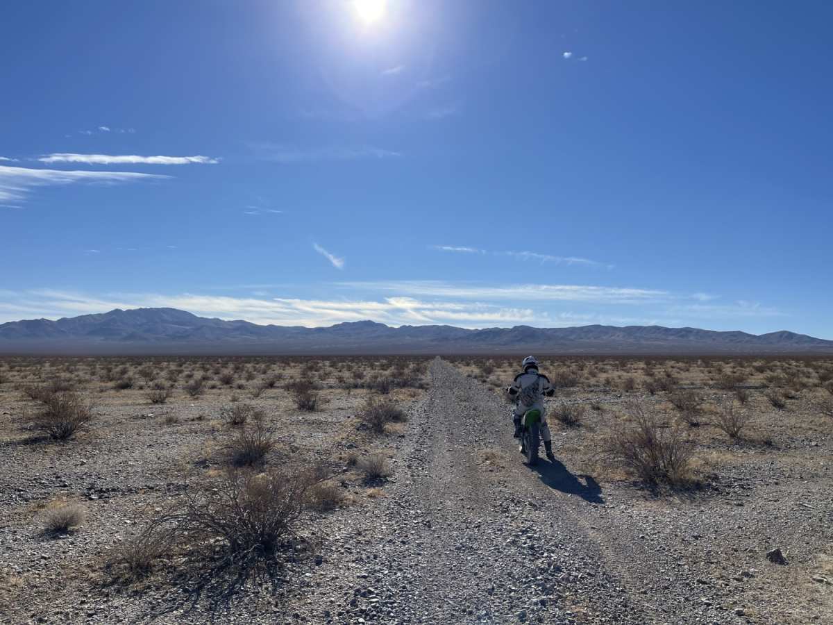
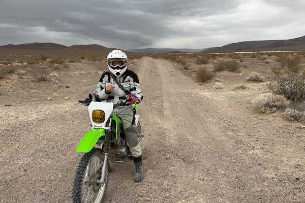
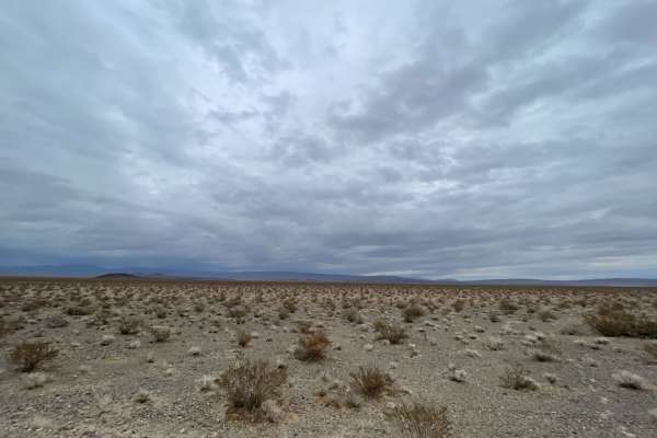
Landing Strip of Washouts is a 4.2-mile trail near the Nevada-California border ideal for offroaders seeking a direct desert route that rewards patient driving with a scenic, historic destination. Starting at 2,618 feet in elevation, the path runs south as a long straightaway, but any opportunity to build up speed is cut short by the numerous deep washouts that bisect the trail. These continuous washouts require high-clearance four-wheel-drive vehicles, SxSs, or dirt bikes to proceed carefully across the desert landscape. As the trail gains 615 feet of elevation, it crosses from Nevada into California, eventually entering the boundaries of Death Valley National Park.
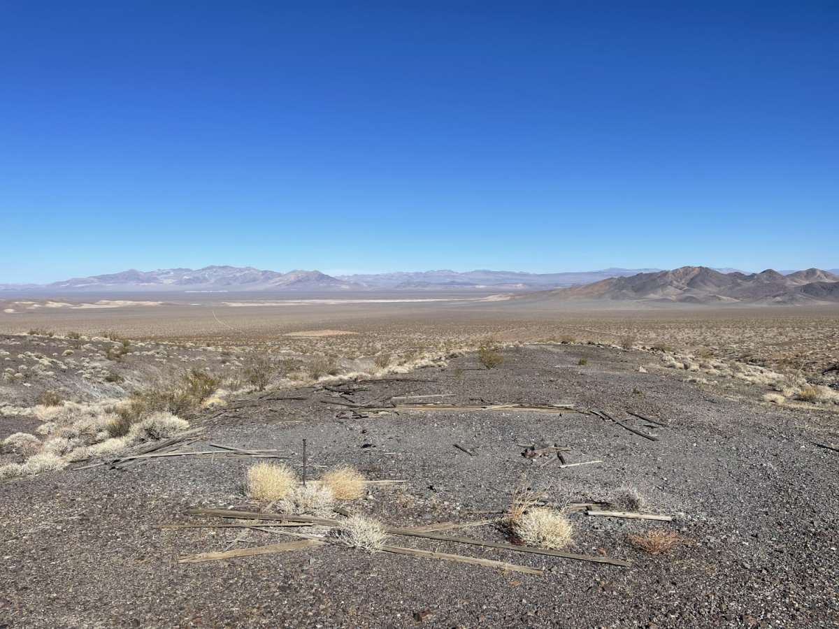
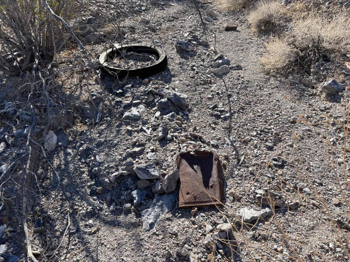
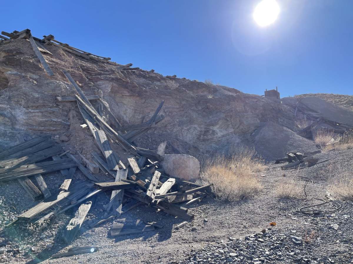
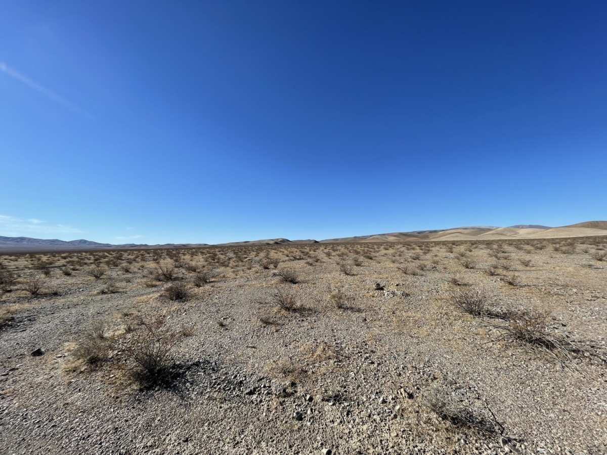
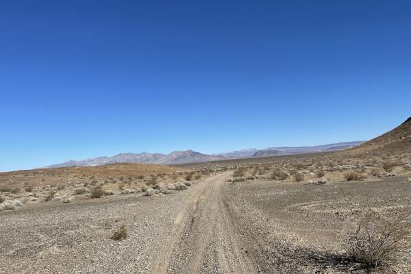
With a technical difficulty rating of 4, the route consists primarily of dirt and loose rock, with sharp stones and creosote bushes lining the path. The journey culminates at 3,236 feet, where drivers are rewarded with panoramic views of the surrounding valley and the opportunity to explore a historic abandoned mine. Because the trail terminates inside Death Valley National Park, visitors must strictly adhere to national park regulations and remain on designated paths. Cell coverage is sparse, offering only about two bars of LTE service, making offline maps highly recommended for this remote desert trek.
Access Description
The southern portion of this route terminates inside Death Valley National Park. Visitors must strictly adhere to national park guidelines, which require off-road vehicles to stay on designated open dirt roads. Off-trail driving is strictly prohibited to protect the delicate desert environment.