Dry Creek-Cliff Creek

Total Miles40.3
Technical Rating
3Easy
Best TimeSummer, Fall
Trail TypeFull-Width Road
Accessible By
Open Trail Map

Trail Overview

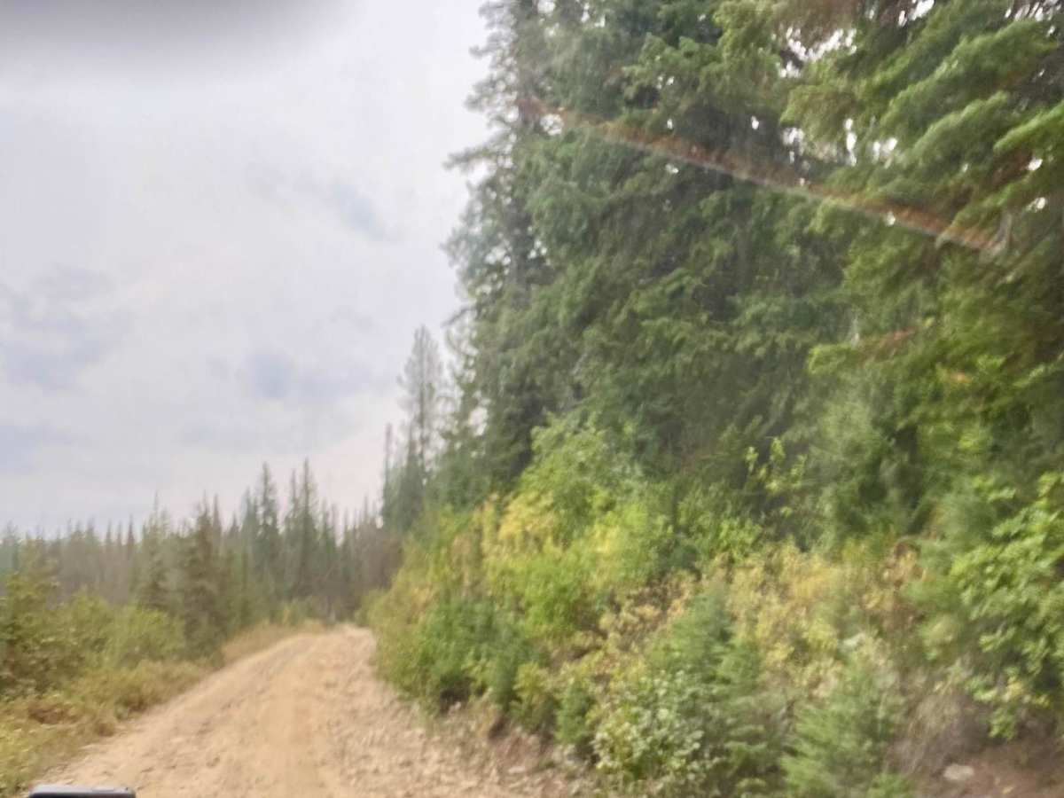
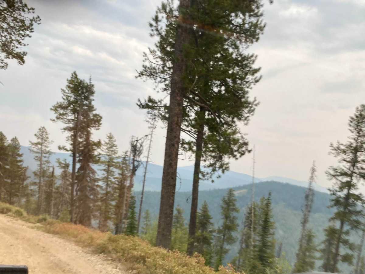
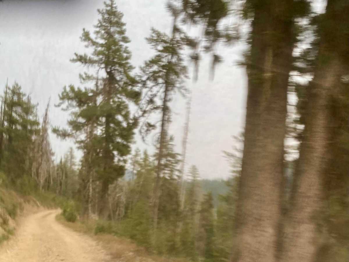
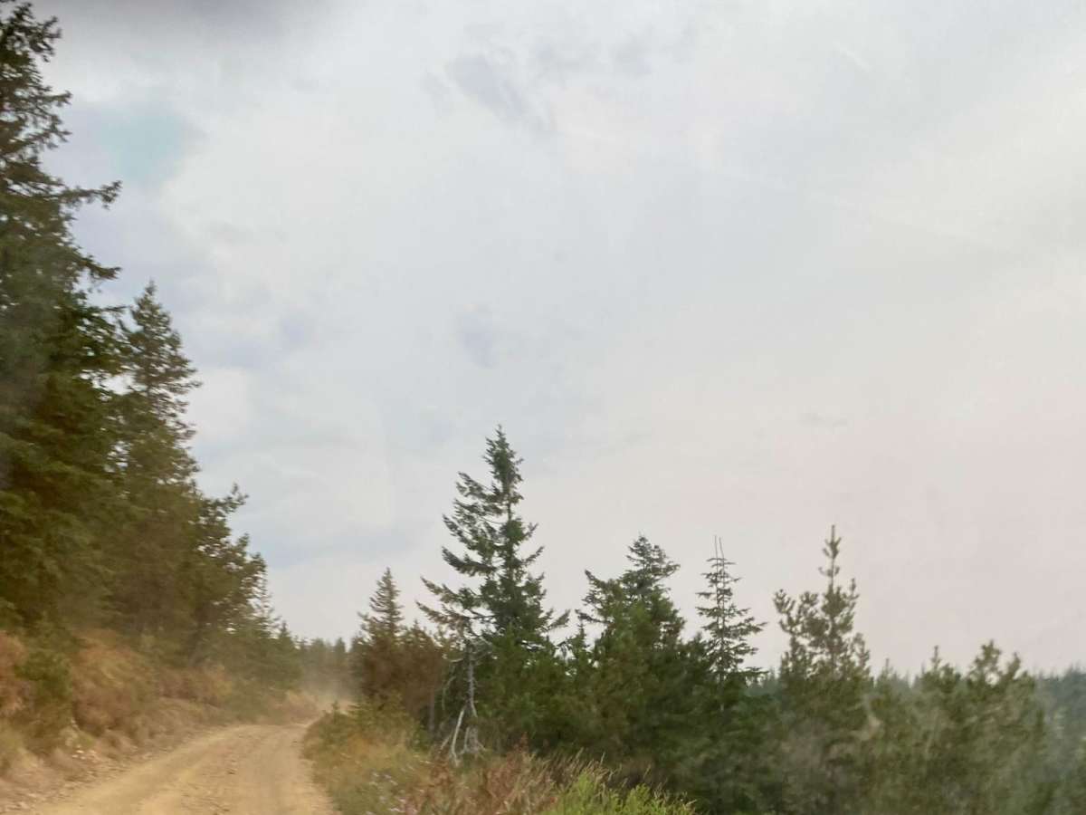
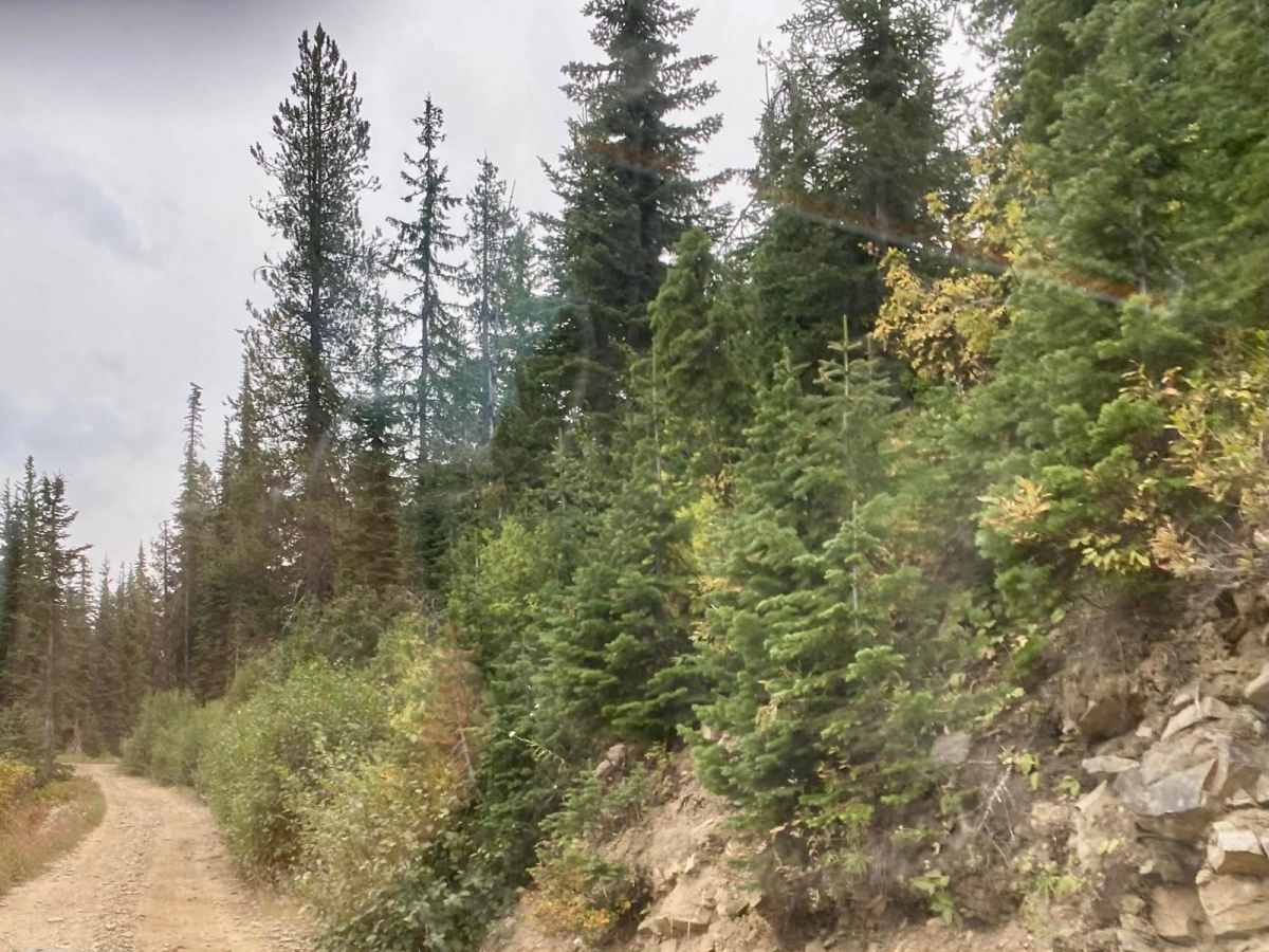
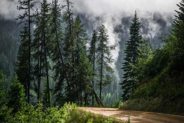
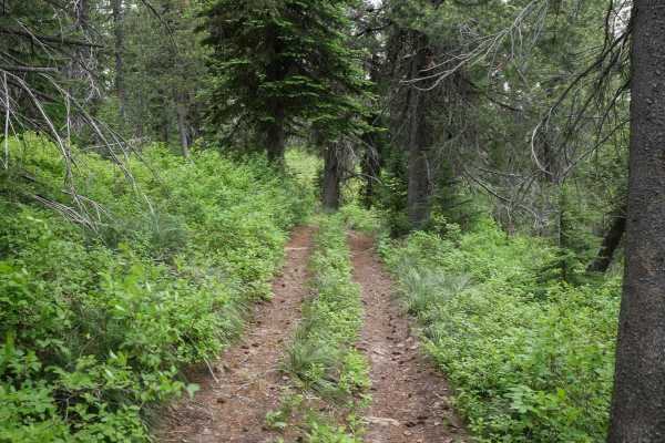
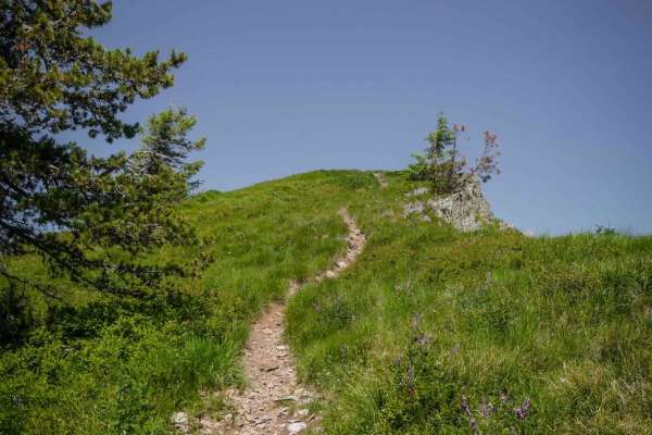
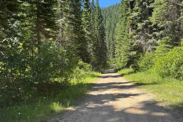
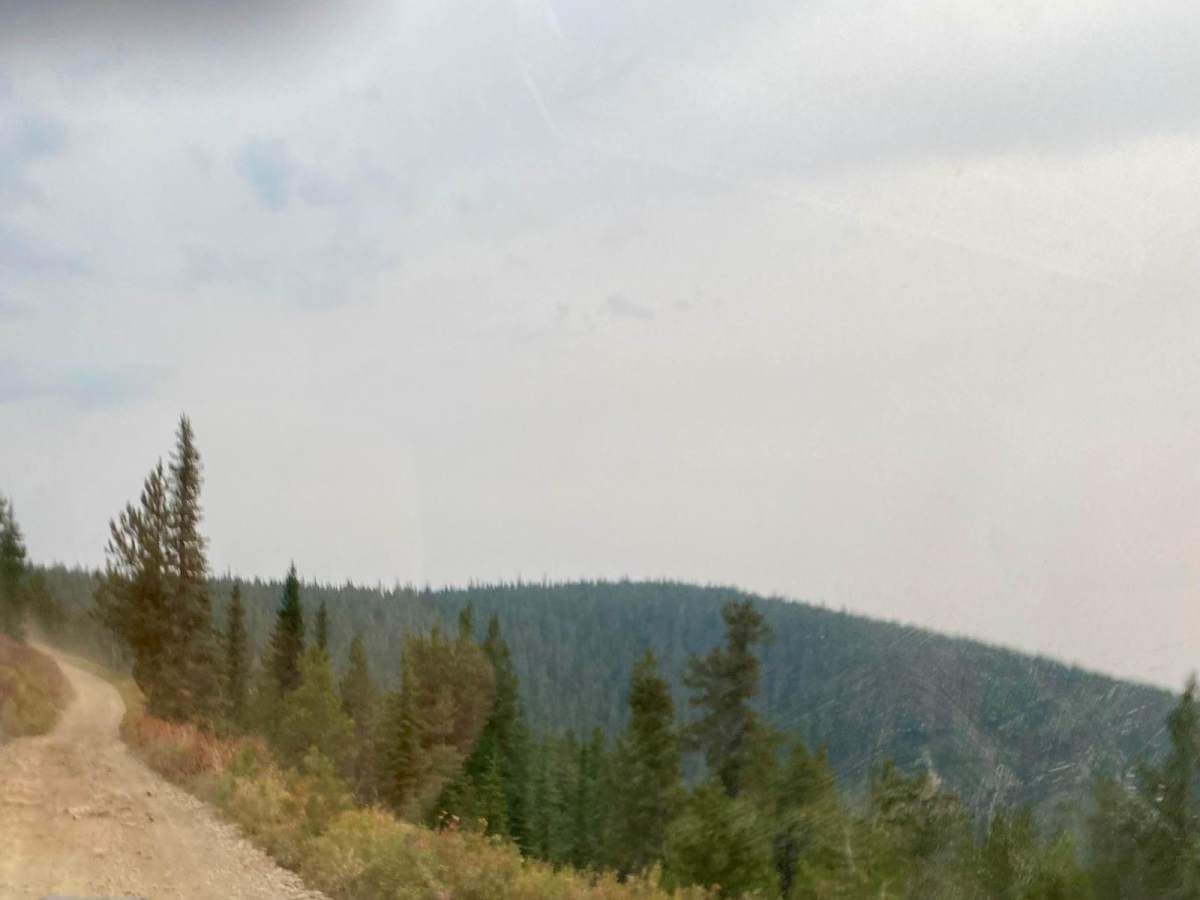
The route is mainly a gravel two-lane roadway that will narrow down to one lane in spots. The route can have areas of loose rock and stone with many ruts when passing up or down in elevation. The route can be very dusty during dry conditions. The route has its share of steep embankments and very curvy areas. The route offers great views of the Bitterroot Range & St. Joe National Forest.

Photos of Dry Creek-Cliff Creek

Difficulty

There are many spots with loose rocks and ruts along some of the steep grades. Most of the route on the higher elevations are one lane, but you can find places to pass another vehicle. Snow might make the route impassable during early spring.

Technical Rating

3

Status Reports

Add Status Report
Justin Hancock
Jul 10, 2026
2024 Toyota Tacoma
Obstructed
Downed Tree
Completely impassable by any vehicle. Downed trees from 100mph storms blocking the trail.
Daryl Elmore
Jun 13, 2026
Obstructed
Downed Tree
Lots of trees down as you come from Bird Creek Divide
Justin Hancock
Jul 25, 2025
2024 Toyota Tacoma
Open
NormalDustyWashboard

Dry Creek-Cliff Creek Trail can be accessed by the following ride types:

  • Single Track
  • 50 Inch
  • 60 Inch
  • High Clearance
  • Full Width

Dry Creek-Cliff Creek Map

The onX Offroad Difference

onX Offroad combines trail photos, descriptions, difficulty ratings, width restrictions, seasonality, and more in a user-friendly interface. Available on all devices, with offline access and full compatibility with CarPlay and Android Auto. Discover what you're missing today!

Open Trail Map