Trail Overview
Here's a cleaned-up version:
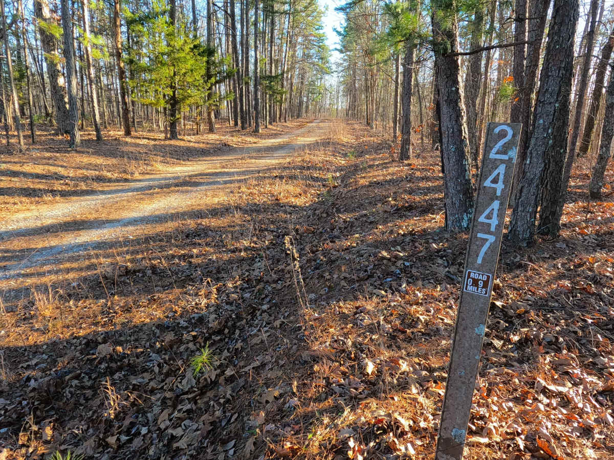
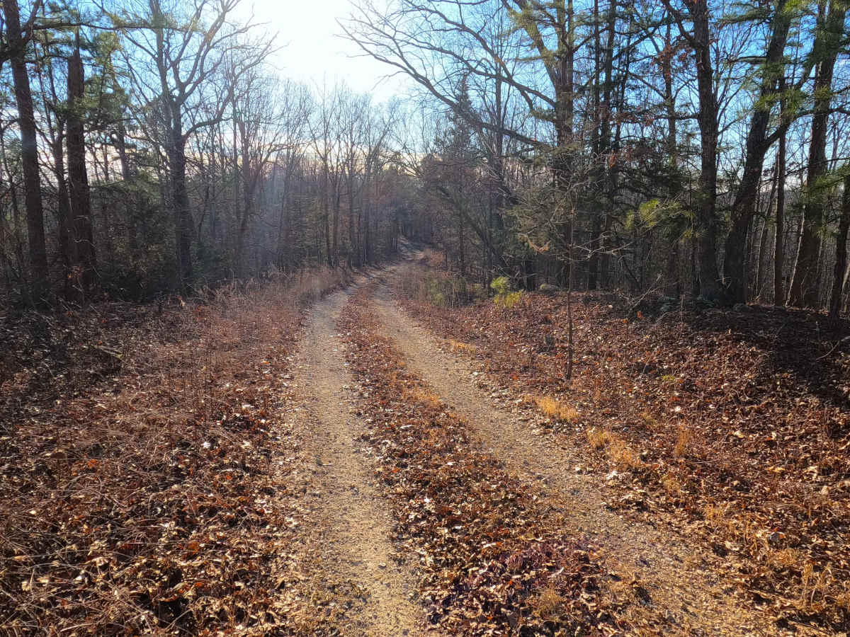
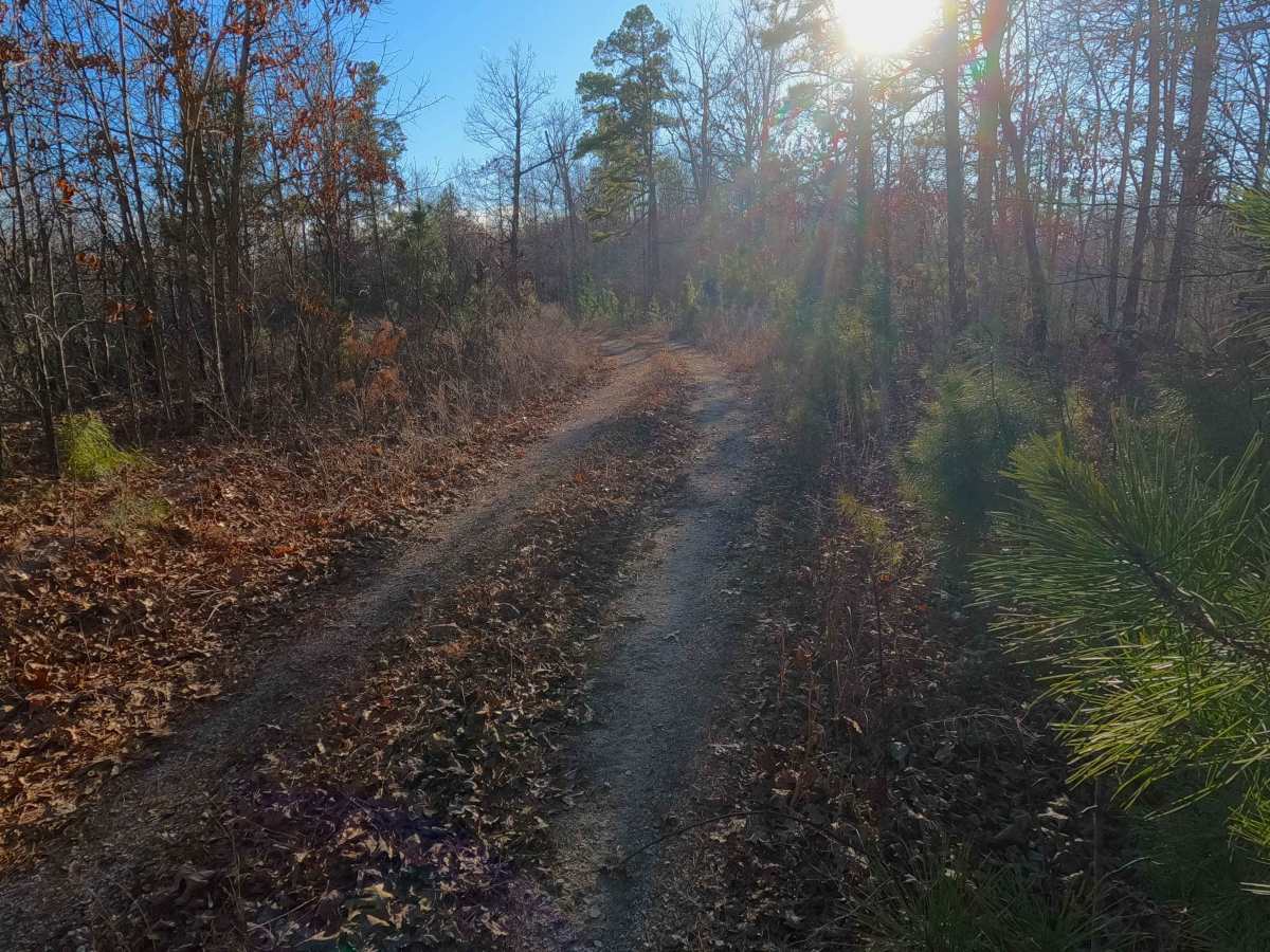
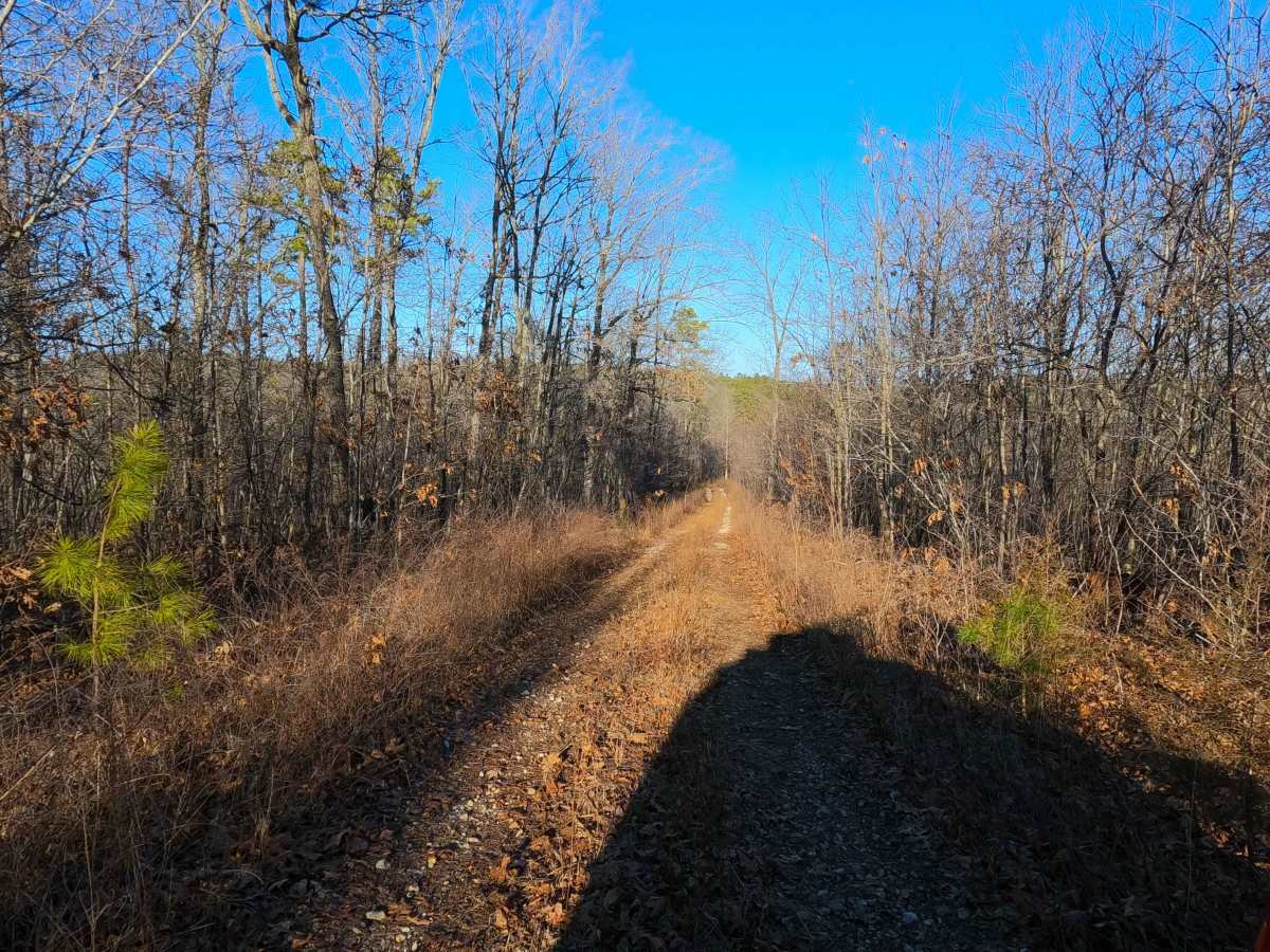
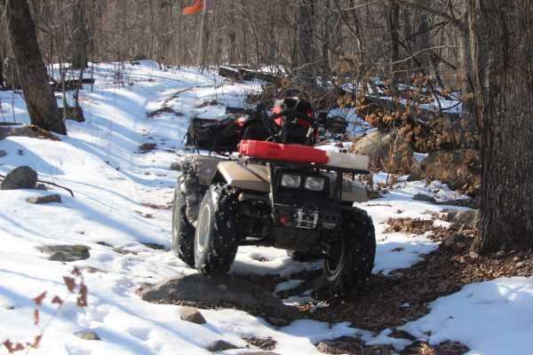
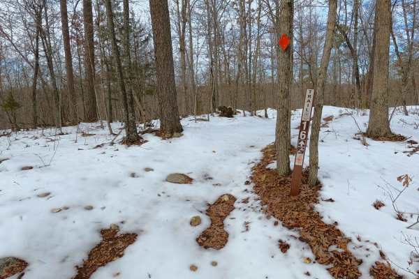
Turkey Trot (FS 2447) is a semi-maintained gravel Forest Service road within the Salem Unit of Mark Twain National Forest, open to all vehicles complying with Reynolds County and Missouri state law. The road spurs south off Karkaghne Scenic Drive (Reynolds County Road 907), following ridge top spines along a wider, trimmed lane through scenic tree lines. The base terrain consists of coarse natural gravel, with occasional small fallen trees, erosion washes, and scattered natural cobbles.
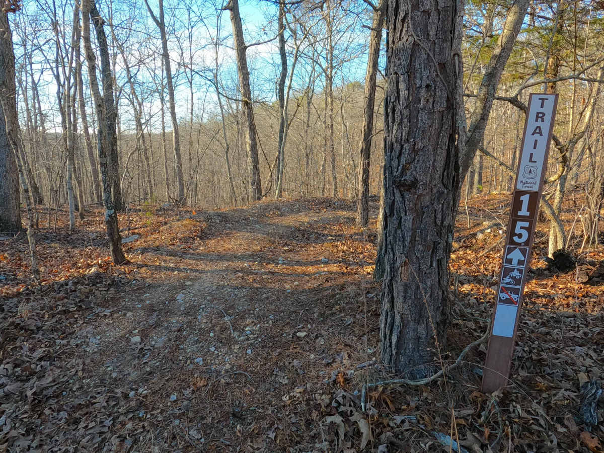
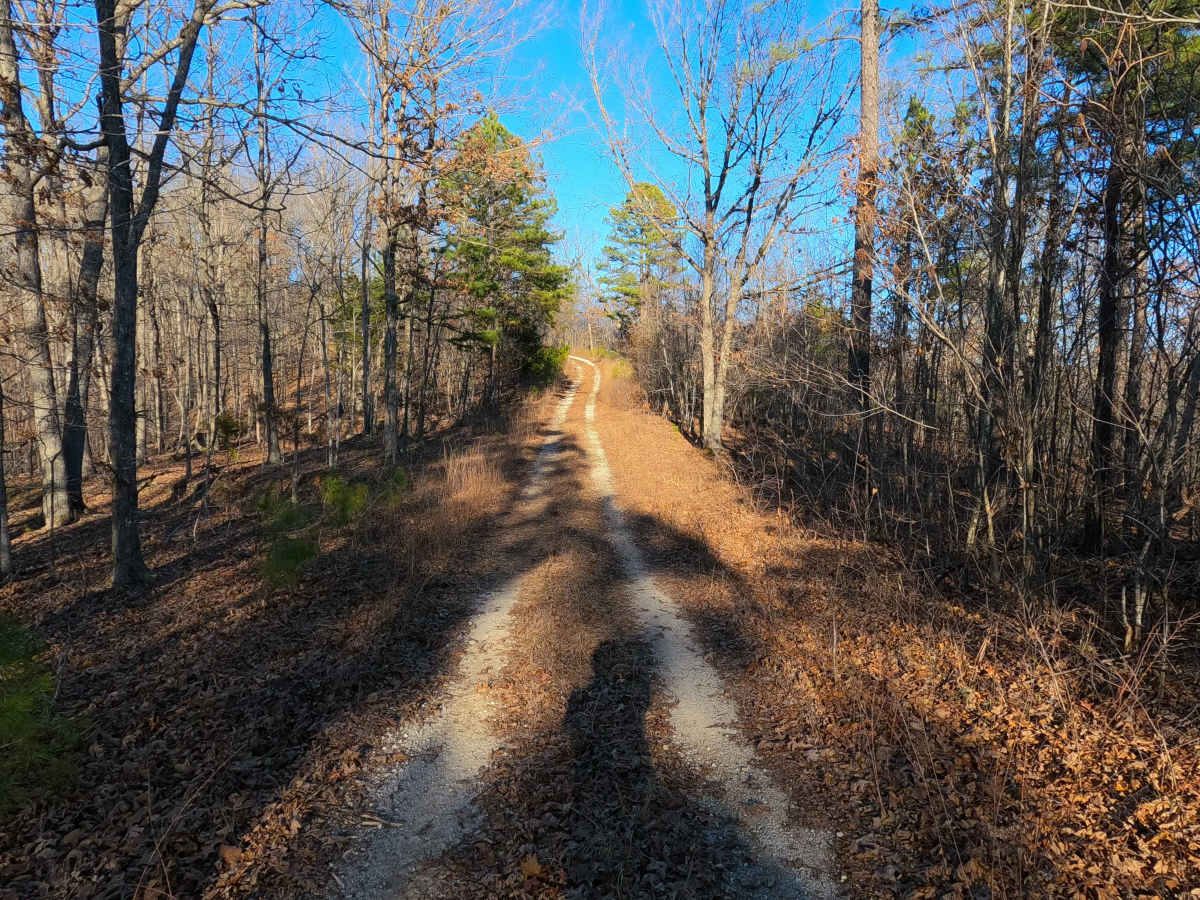
From the start, the road follows one ridge before dropping into a small valley, where it intersects the SB 15 ATV trail — splitting it into eastern and western sections — then climbs back to the ridge top, offering scenic southward views through the trees. The route ends at the legal MVUM turnaround point at 37.48535, -90.98602, where users must reverse course and exit the way they came.
The turnaround is spacious enough to park a small truck and trailer, making it a convenient unloading point for 50"-and-under vehicles accessing the Sutton Bluff ATV/OHV Area, particularly when using SB 15 as the entry into the system.
Difficulty
FS 2447 receives a base rating of 2/10, reflecting natural coarse gravel, mildly graded hills, mild active erosion and ruts, loose 4–10" cobbles, small whoops, and natural rocks at the surface. Difficulty may increase due to heavy use or lack of maintenance, large fallen trees (12"+) blocking the trail, wet or inclement weather, or erosion damage.