Trail Overview
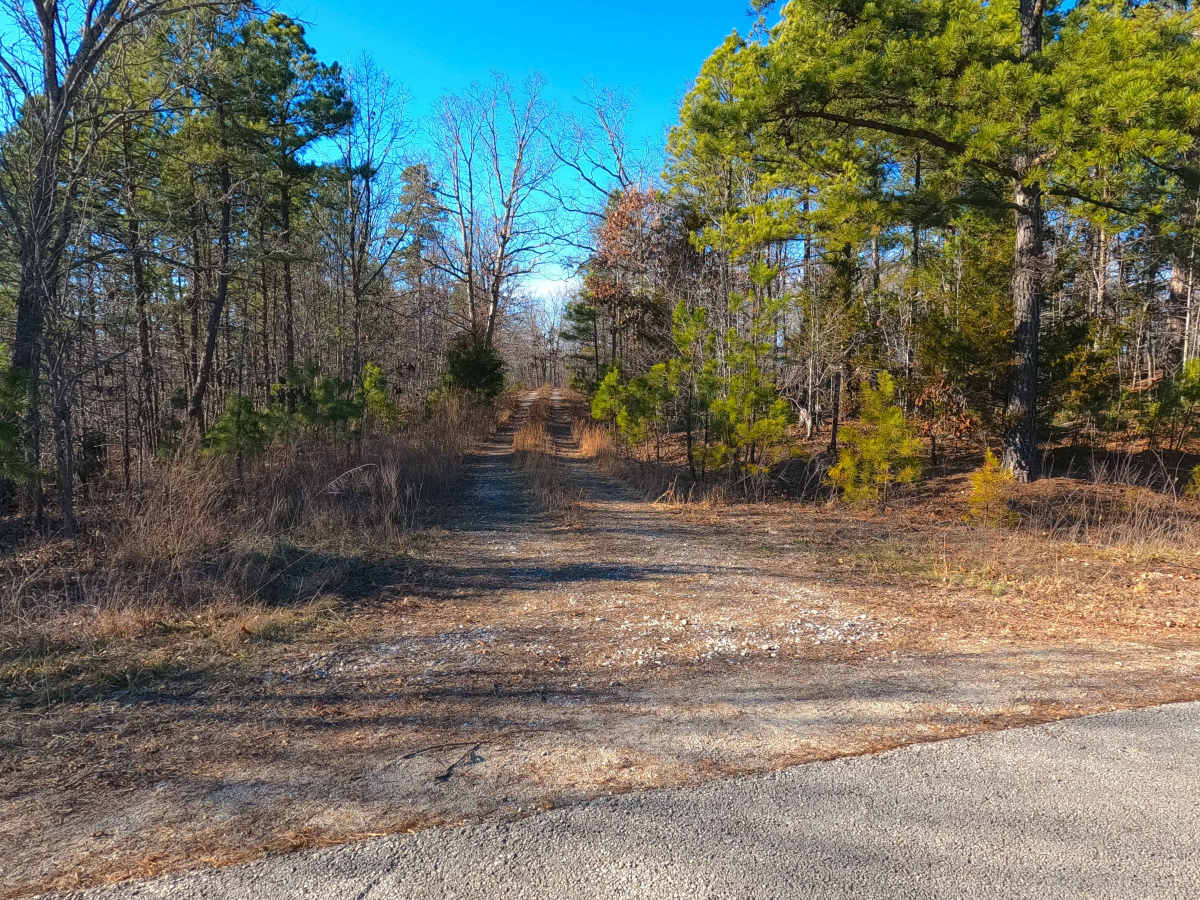
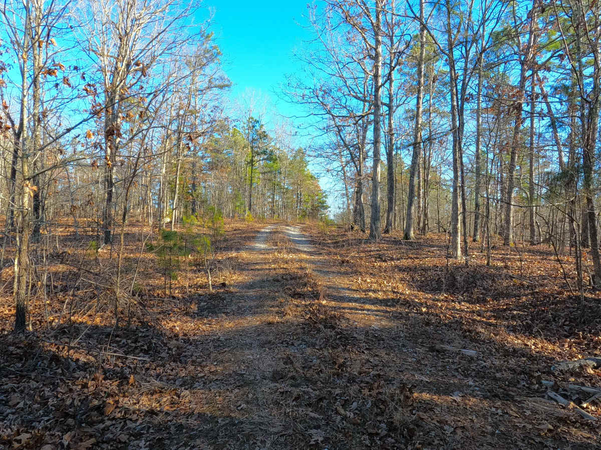
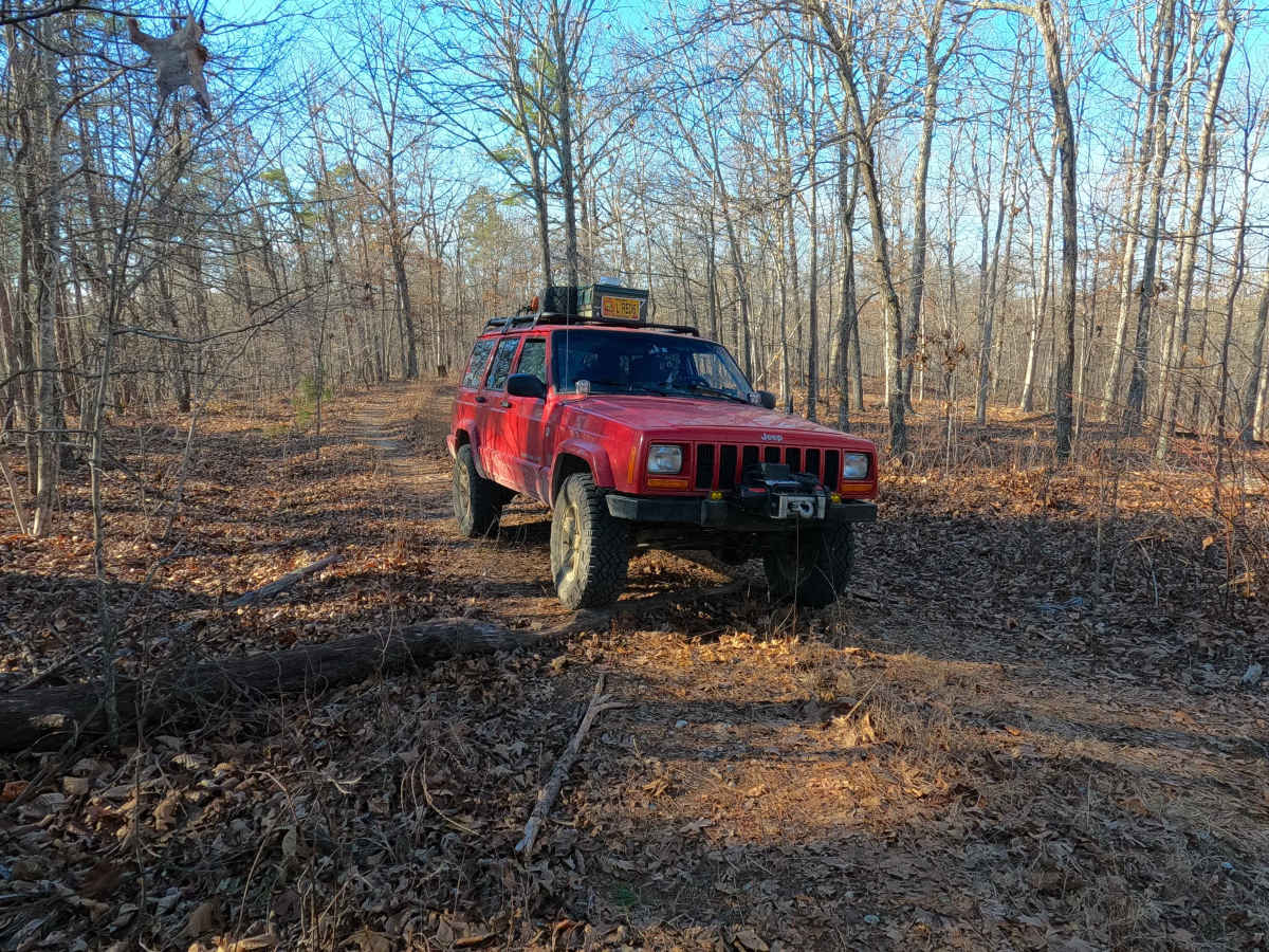
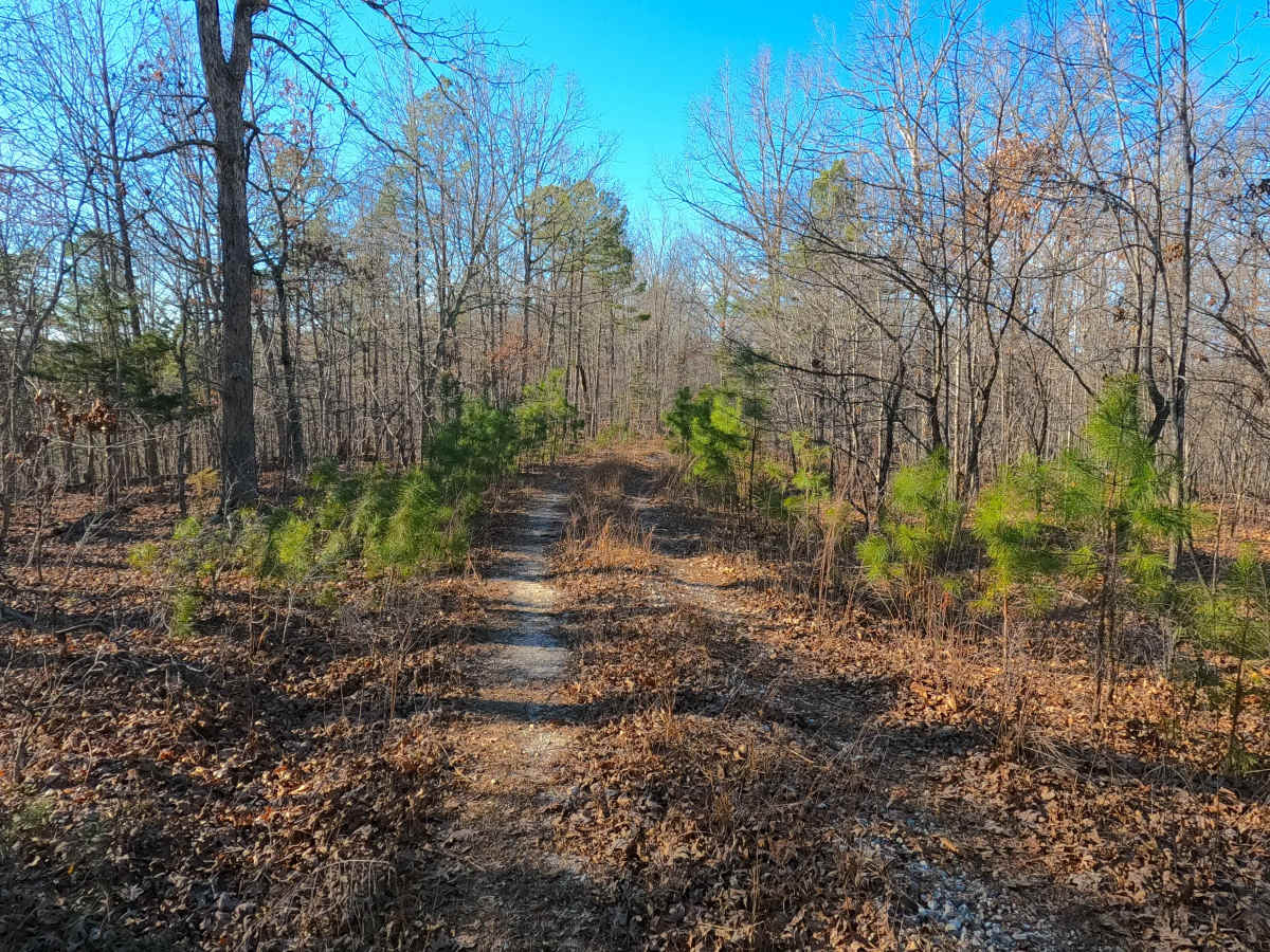
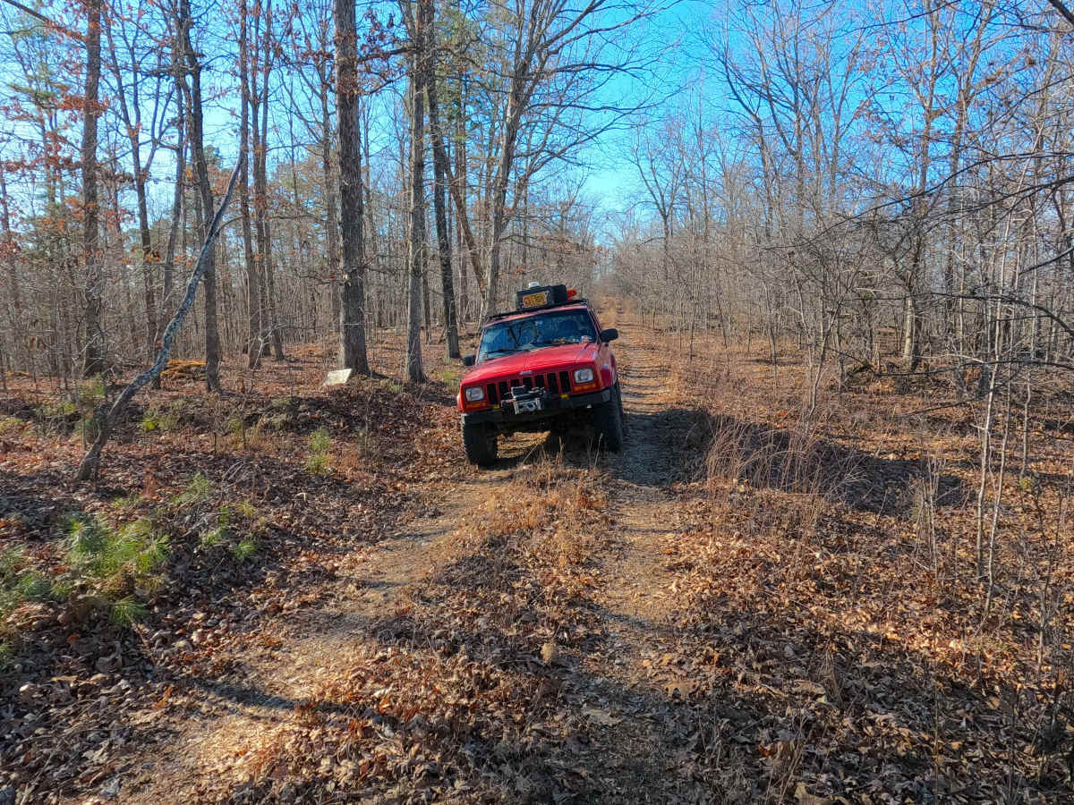
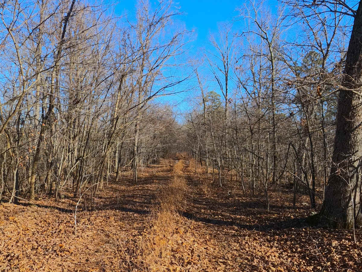
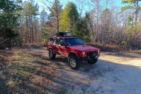
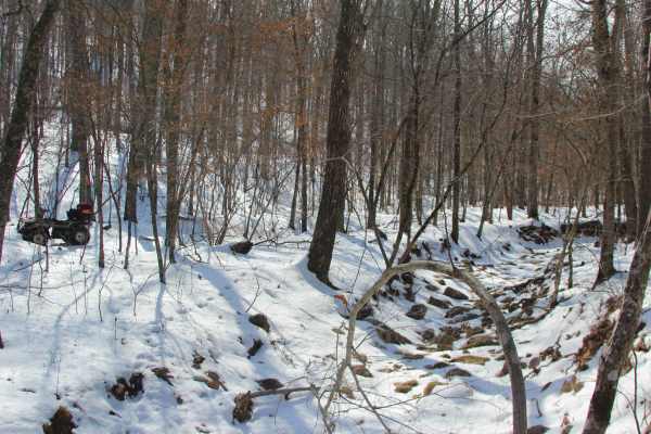
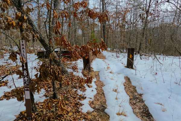
Tall Tree (FS 2243) is a gravel and dirt terrain Forest Service Road within the Salem Unit of Mark Twain National Forest, open to all vehicles complying with Reynolds County and Missouri state laws. From the beginning where the FS 2243 spurs off the Karkaghne Scenic Drive (or Reynolds County Road 907), the base terrain is made up of coarse natural gravel, with the features of small fallen trees, small erosion washes, small natural cobbles scattered along the path, with the track following along the ridge top spines, through beautiful tree lines, until it meets the recommended safe turnaround at 37.47057, -90.95353. From here, the road continues only for 100 feet further west to a large downed tree marking the MVUM motorized legal endpoint. This is where users must turn around and head back the way they entered. This is a great road to use the turnaround to park a small truck, and possibly a small trailer, to unload a 50-inch and under vehicle for the Sutton Bluff ATV OHV Area.
Difficulty
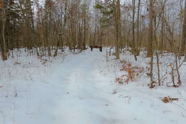
Tall Tree is given a base rating of a 1/10, for only having mild elevation changes over its track from end to end, with minimal erosion washes, though the unsung difficulties of tight vegetation and pinstriping are very prominent along the road, with the turnarounds being wider locations to get spun around without this worry. Though it isn't limited to, full-size vehicles are not advised to use this road. It is safe to expect all the gravel road complications, such as potholes, washboarding, and mounding of the gravel. Difficulty could increase in seasons of wet or inclement weather, from heavy use, or a lack of maintenance.

 Offroad