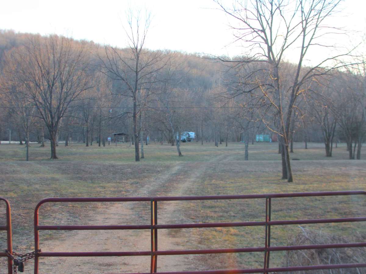
Trail Overview
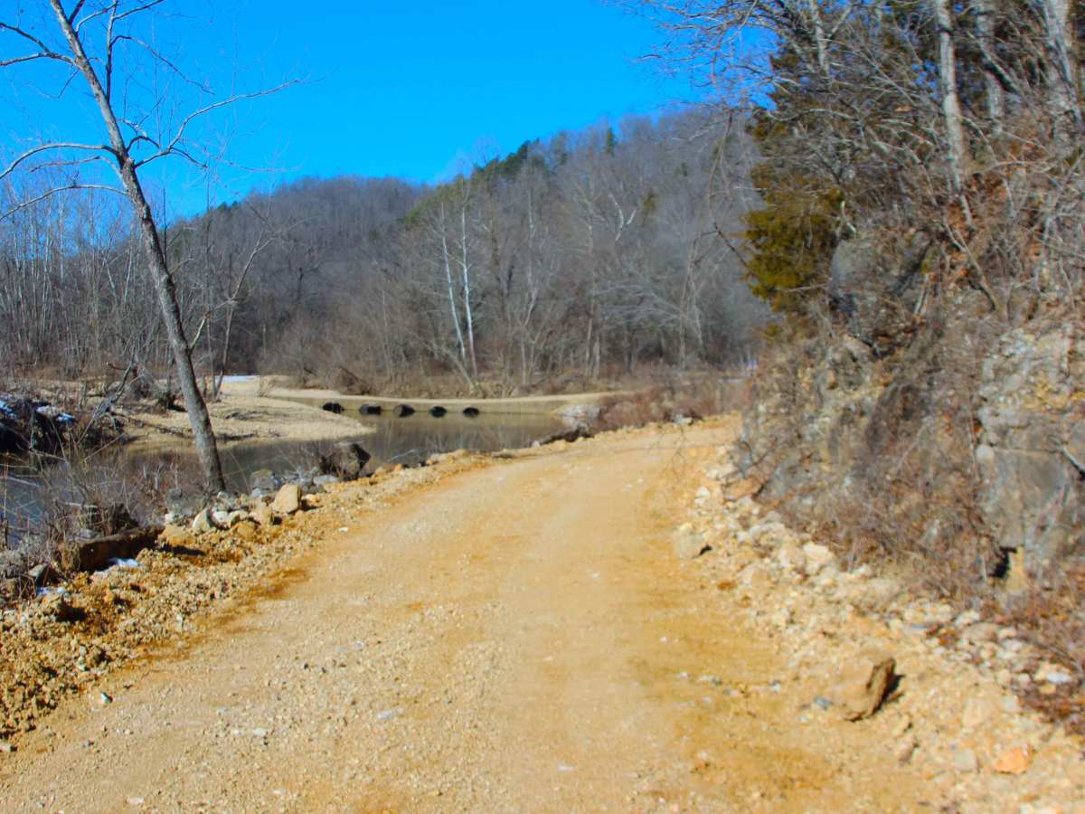
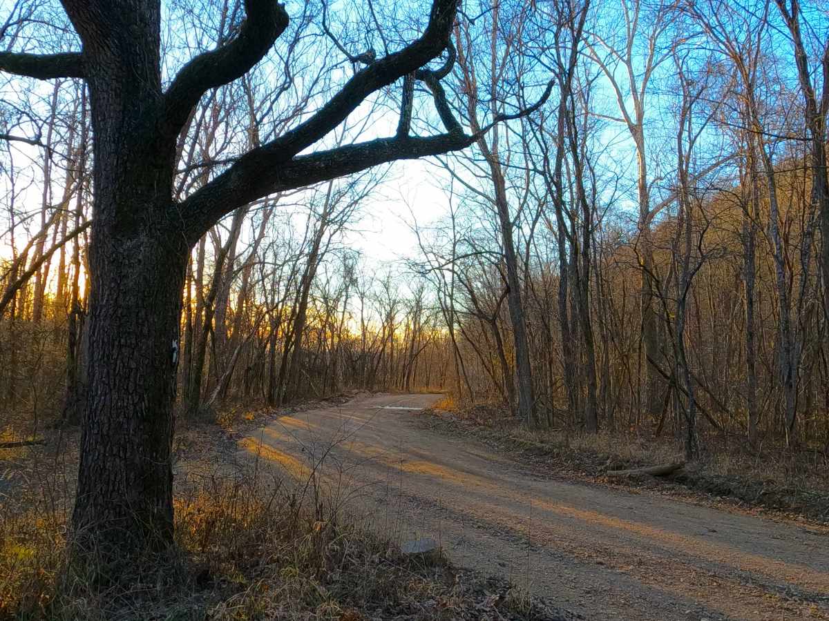
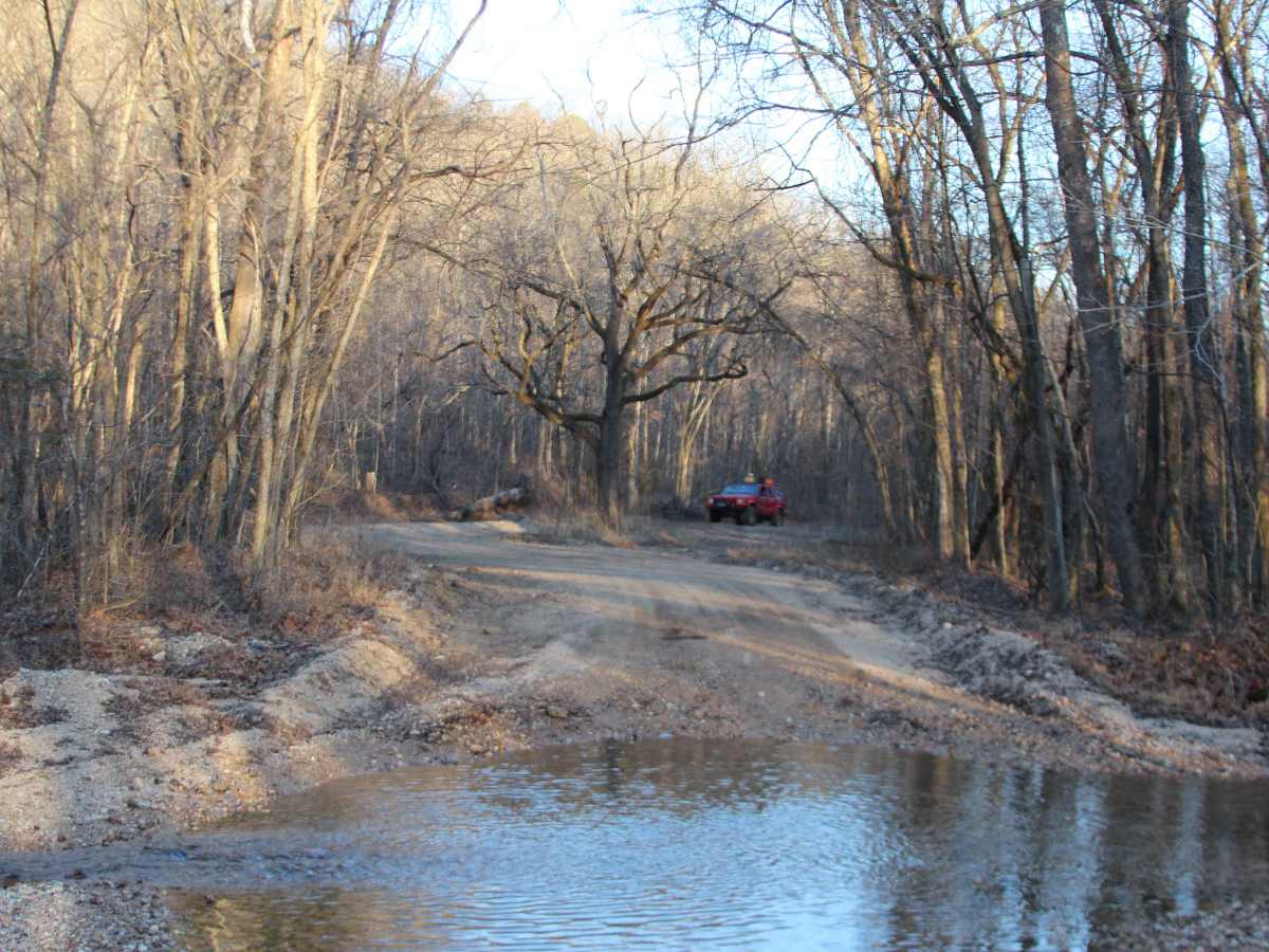
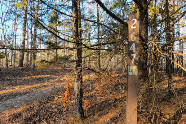
Radford Hollow or Southwest Reynolds County Road 848 is a gravel-dirt mixed road and right-of-way, going through the Reynolds County and Mark Twain National Forest Salem Unit, in the Sutton Bluff area. From the peak elevation along the ridge that hosts the Reynolds County Road 849 going east and west, the 848 spur off going north-northeast, aiming towards the Radford Hollow valley hosting the West Fork of the Black River. The road features a coarse gravel-dirt path, with natural rock sticking out at the surface, while going moderately downhill towards the river. After passing the low water bridge, the road turns hard east, going over small, mild elevation changes as it eventually leads to crossing the Cooks Branch creek, which is fed by Cooks Spring to the north. This natural creek gravel crossing happens only 300 feet before the conclusion of the eastern end of the Radford Hollow RCR 848, which is marked by a large tree standing by itself, surrounded by a turnaround loop, as the road makes a sweeping turn, seamlessly becoming the Cooks Spring Road, or the North RCR 848. Please note that the Forest Service also has a road named Radford Hollow FS 2650, which is geographically on the ridge tops 1 mile north of the proper Radford Hollow, which the Reynolds County Road 848 crosses.
Difficulty
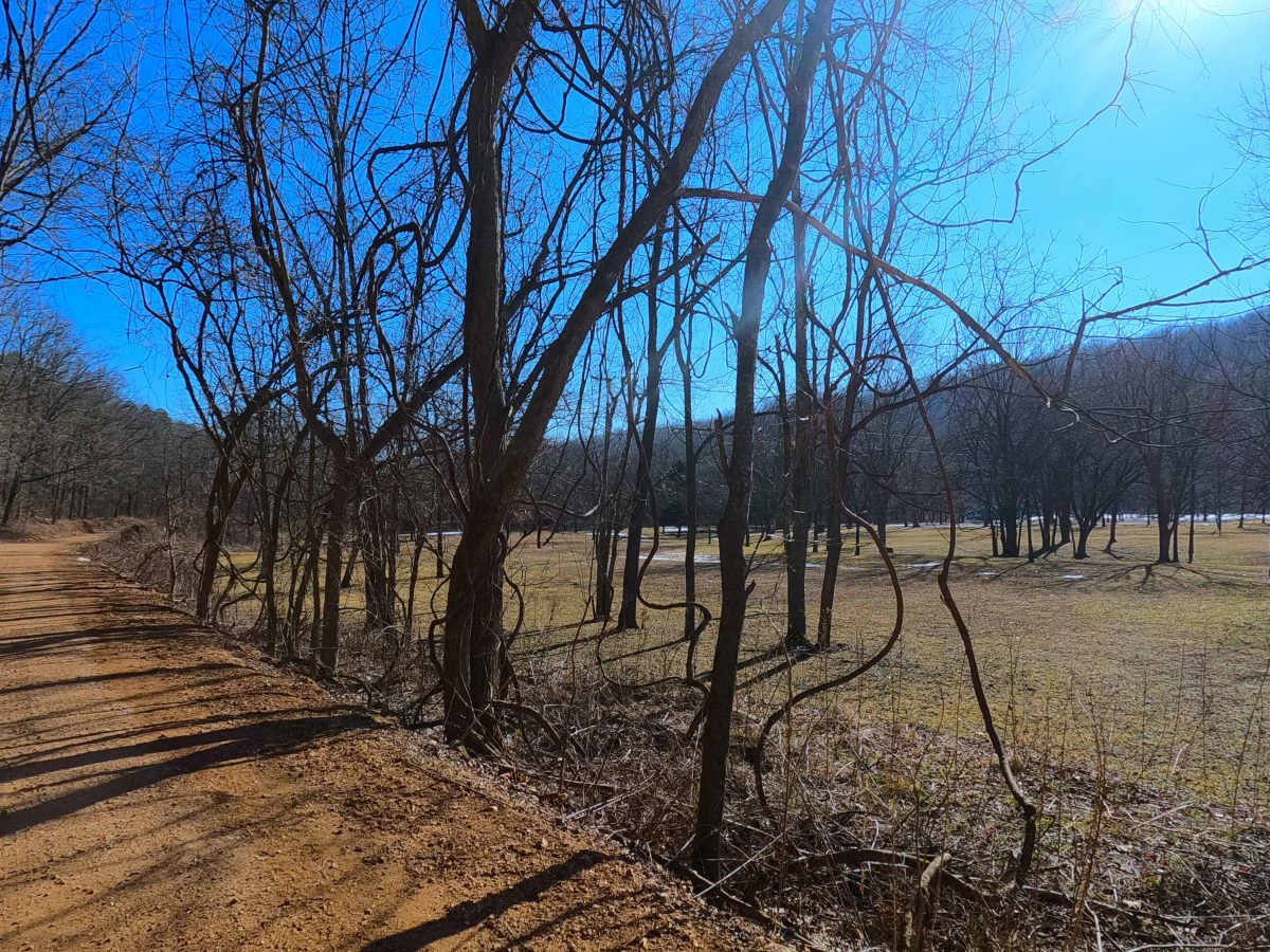
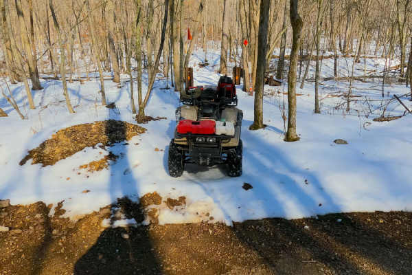
Radford Hollow is given a base rating of 2/10 for having a 6-inch water crossing on its far east end, with a mild to moderate grade on the hill, and small erosion washes. Outside of this, the road is a rough, natural gravel-dirt base with natural rock poking out at the surface in spots, and in occasional spots, the surface fades to soft dirt. It is safe to expect potholes, washboarding, and mounding of the gravel. Difficulty could increase in times of wet or inclement weather, or flash flooding, adding depth to the water crossings. If flooding over the low water bridge, assume the road is closed and do not continue. The difficulty could also decrease in dry seasons, or if the road were to be seriously mended/upgraded with better culverts, bridges, and fresh gravel or pavement from end to end, this is unlikely to happen for the foreseeable future.