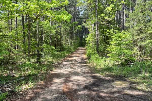
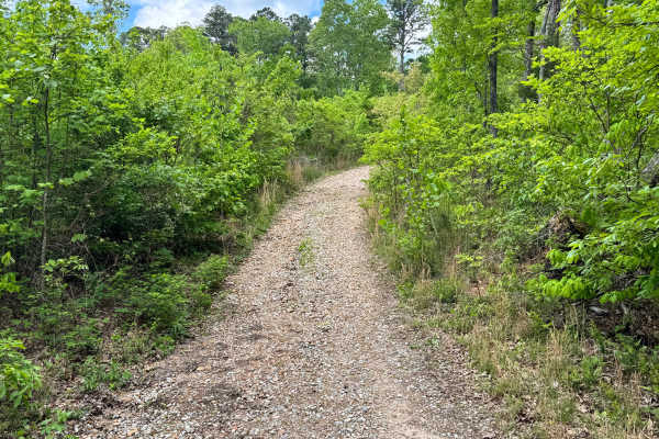
Trail Overview
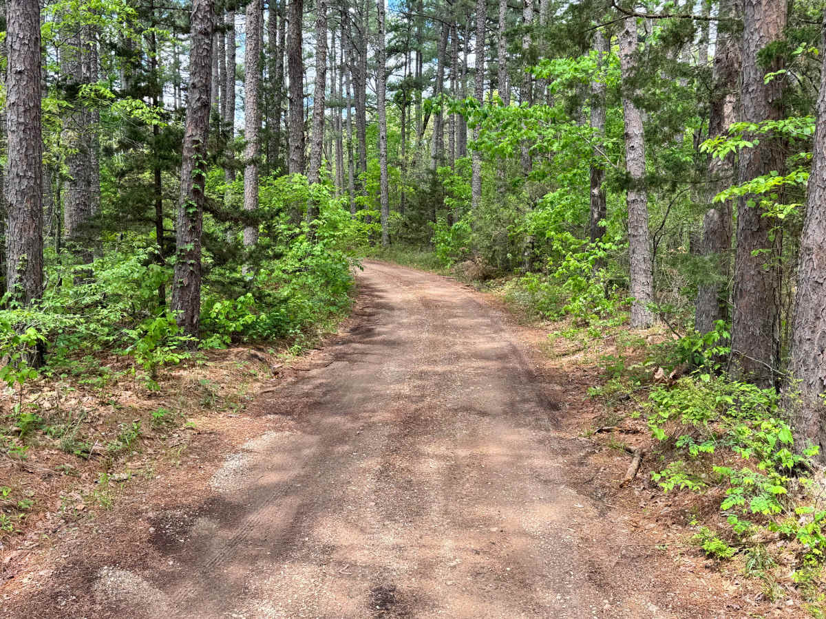
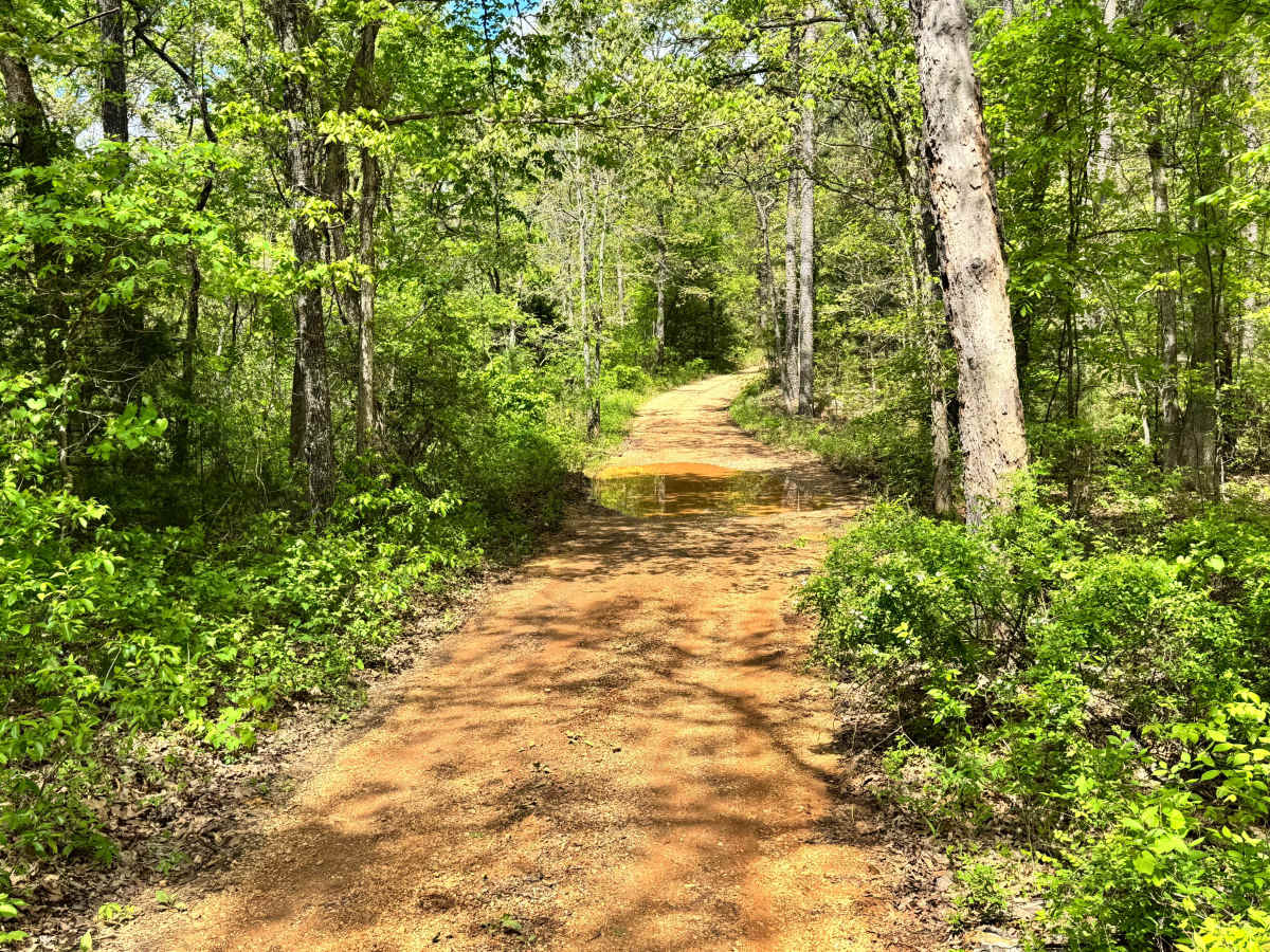
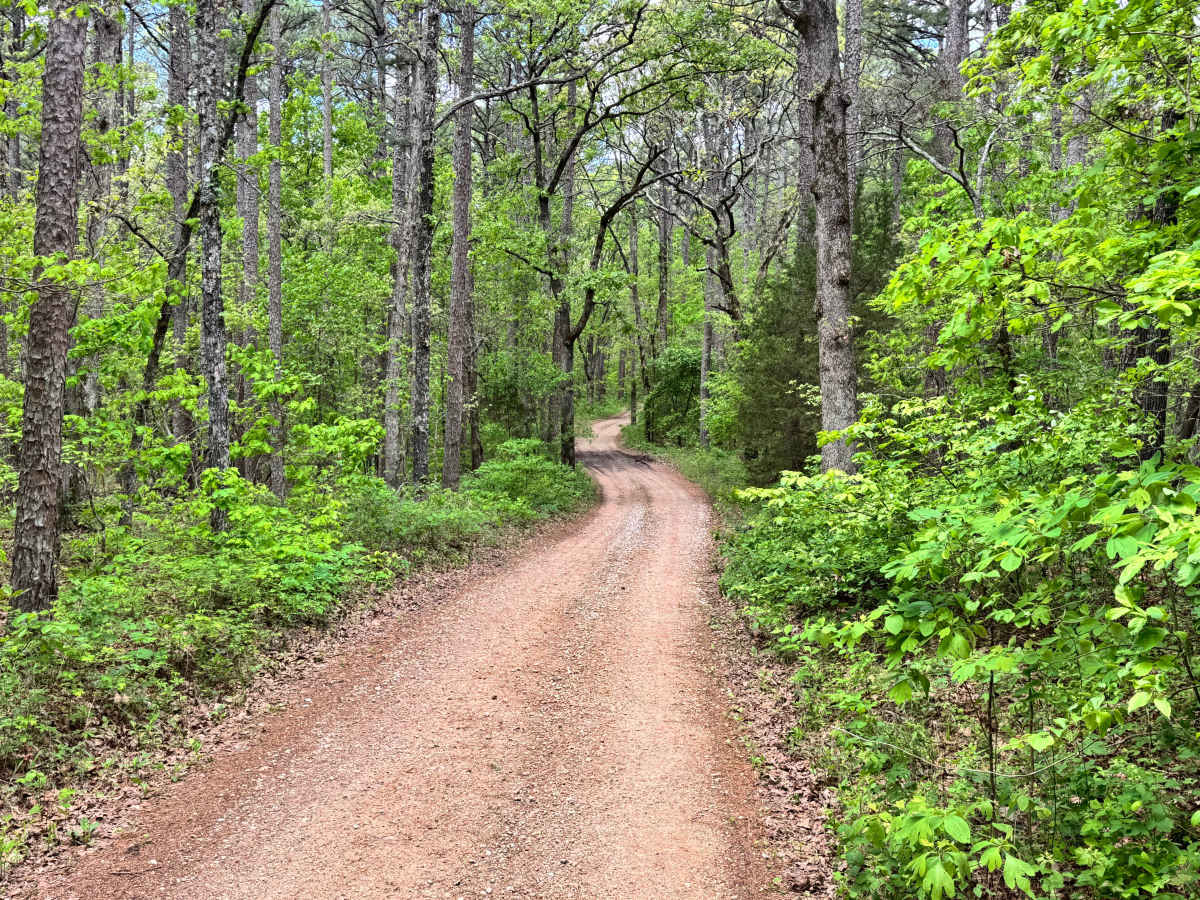
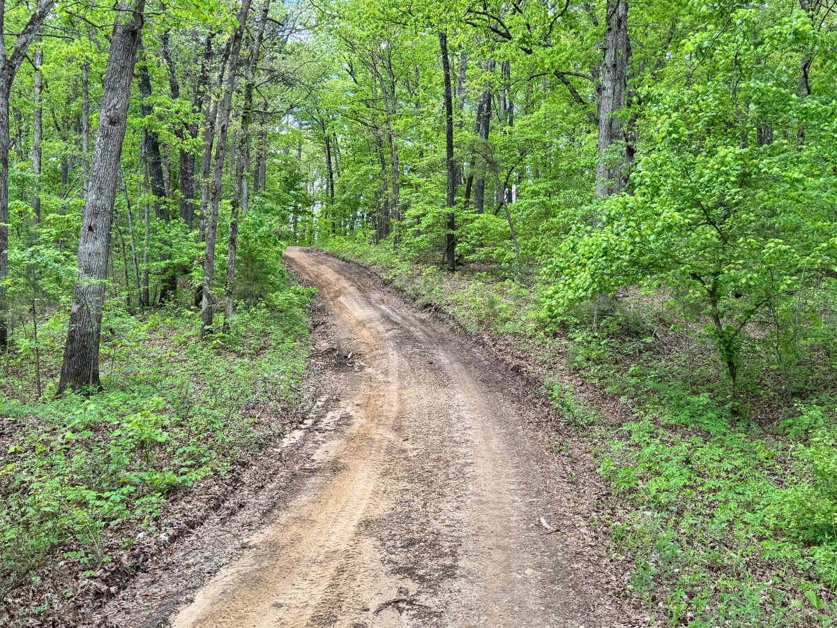
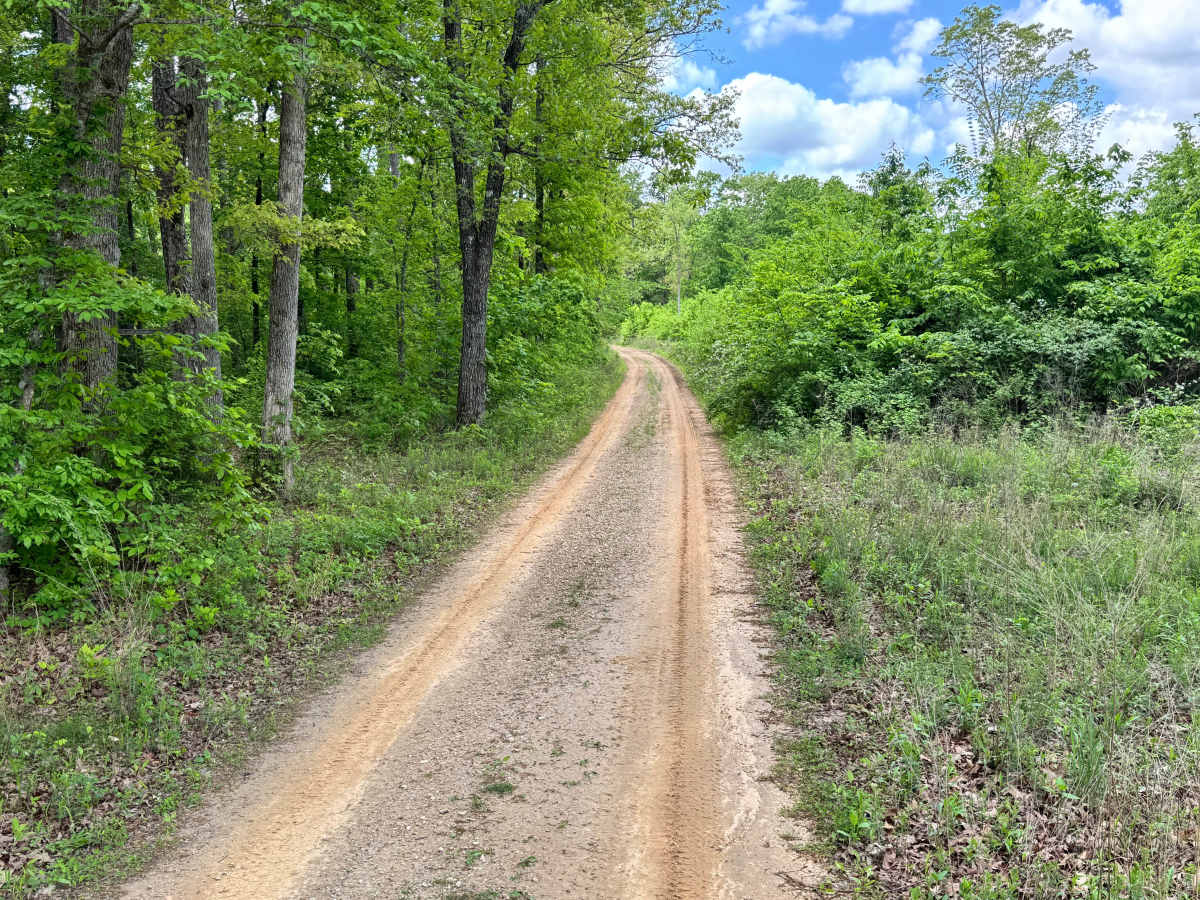
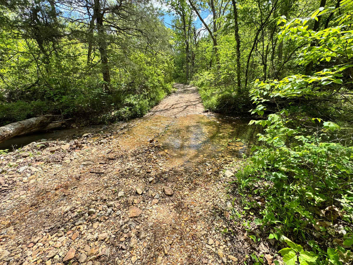
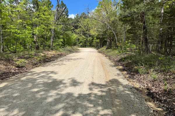
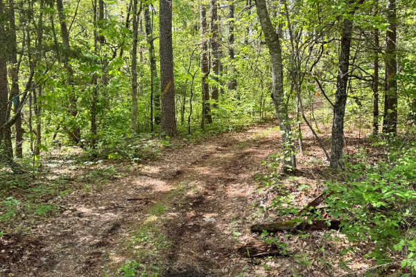
This route follows a mostly one-vehicle-wide gravel trail through the forest with several dispersed campsites located along the way. It begins as an easy scenic drive, but conditions become rougher as you near the Big Piney River. The closer you get to the water, the rockier the trail surface becomes, requiring slower speeds and more careful tire placement. There are no major obstacles, but you will encounter a few shallow water crossings, puddled sections, and areas that have become rutted or off-camber from erosion and runoff. The combination of camping access, creek crossings, and changing terrain makes this a fun and scenic backwoods route to explore.
Difficulty
Best suited for high clearance SUVs, trucks, and 4x4s. The route starts easy on a narrow gravel base but becomes rockier near the Big Piney River, where slower speeds and better tire placement are helpful. A few shallow water crossings, puddled sections, and rutted or off-camber areas from erosion add moderate challenge, especially after rain. There are no major obstacles, but the one-vehicle width and changing surface conditions require attention. Overall, this is a manageable trail for most capable vehicles with light off-road experience.
History
Mark Twain National Forest was established in 1939 and spans large portions of southern Missouri. Many roads and routes through the forest originated as access roads for timber, land management, and rural travel, and today they provide access for recreation and outdoor exploration.