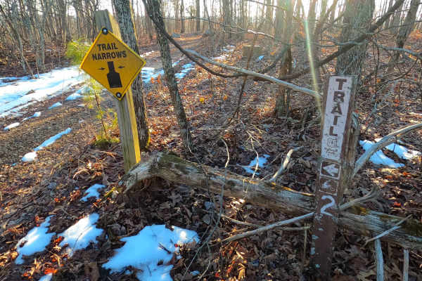
Trail Overview
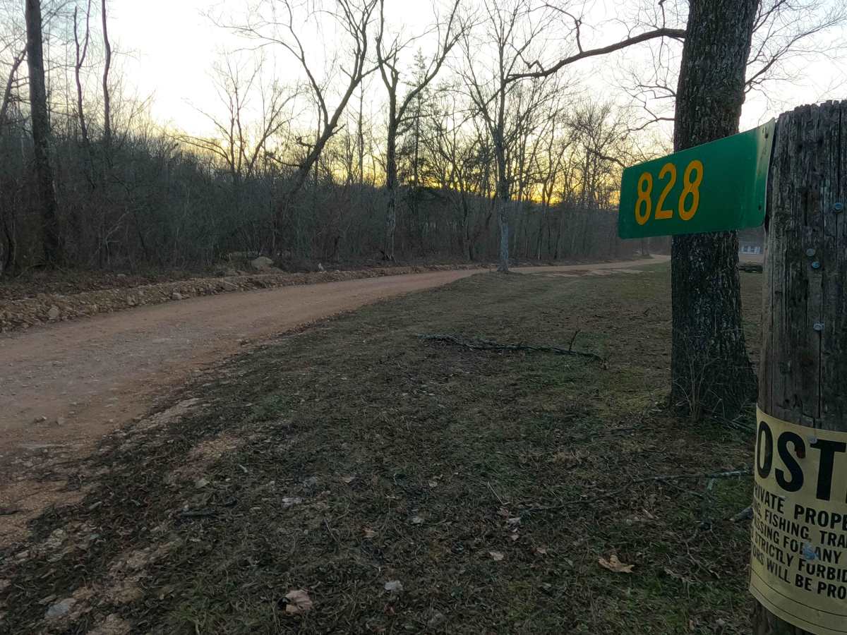
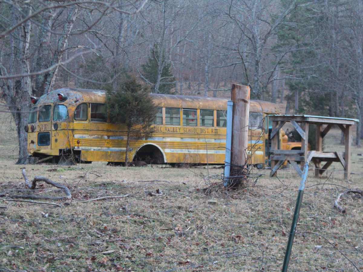
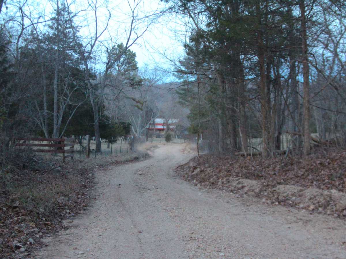
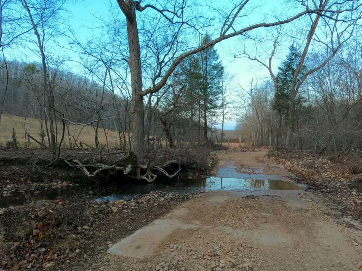
Missouri Branch, or Reynolds County Road 828, is a gravel-dirt mixed road and right-of-way, going through the Mark Twain National Forest Salem Unit, in the Sutton Bluff area. The Missouri Branch road showcases a valley to the north of the Karkaghne Scenic Drive ridge. On the north end of the valley, the road begins at the Mailbox Carousel (RCR 826) heading south, passing by the farms and homesteads in the valley, based on the Missouri Branch and Gunnis Creek, featuring several small low water splash water crossings, over a coarse gravel-dirt path, with natural rock sticking out at the surface. At first, in the low-water bridge/ valley bottom section, the road only climbs slowly uphill. After passing a crossing with the Ozark Trail, the grade increases to a moderately steep incline while winding through the treeline, concluding this climb by reaching peak elevation at a small pavement intersection with the Karkaghne Scenic Drive, going east to west, and Cooks Spring Road going south on gravel.
Difficulty
Missouri Branch is given a base rating of 2/10 for having several splash-level water crossings and low water bridges, mild to moderate grade on the hill, and erosion washes. Outside of this, the road is a rough, natural gravel-dirt road with natural rock poking out at the surface in spots, and in occasional spots, the surface fades to soft dirt. It is safe to expect potholes, washboarding, and mounding of the gravel. Difficulty could increase in times of wet or inclement weather, or flash flooding, adding depth to the water crossings. The difficulty could also decrease in dry seasons, or if the road were to be seriously mended/upgraded with better culverts, bridges, and fresh gravel or pavement from end to end, this is unlikely to happen for the foreseeable future.