Trail Overview
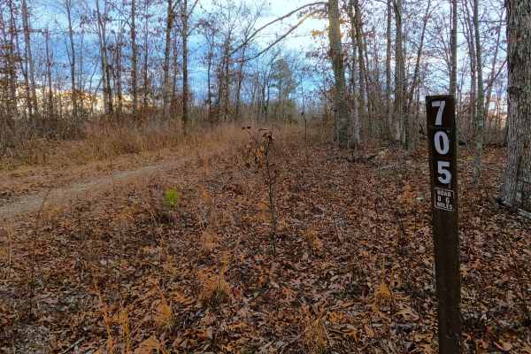
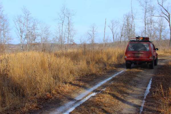
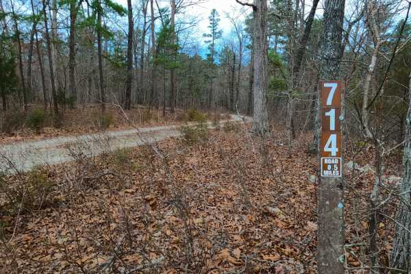
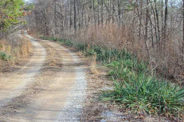
Middle Ridge (FS 424) is a semi-maintained gravel forest service road within the Willow Springs Unit of Mark Twain National Forest. The road begins at Missouri Route AM, heading north along the elevated ridge. When at the half-mile mark from the entry of the track, there is a small peak of a ridge spine on the road's track, if looking along the hills 2,5 miles to the north-northeast, vehicles on US-60 can be seen passing by, going east and west. Following this, the road slightly tracks to the west climbing to the higher ridge spines, passing a natural pond on the west side of the road, crossing a few more mild graded spines along the roads track to conclude at the MVUM-sanctioned endpoint at a gate along the power line tract. There is a 3-point turnaround located just before the gate for users to spin around and head back the way they entered. Users can walk on foot the additional 2 miles of Middle Ridge to its former vehicle end point, which includes, more views of the traffic on US-60, a raised view of Middle Indian Creek midway, and an excellent view at the final endpoint of three peaks in the distance, which likely are Tater Hill, Dyestone Mountain, and Twin Mountain, 6 miles away to the southwest.
Difficulty
Middle Ridge is given a base rating of 1/10, being a ridge top road with spines creating up and down grades over the coarse gravel along its track. In the low points between the spine, the road has sections of gravel fading to dirt and signs of mild forms of erosion, with the potential for these spots to turn to surface mud in wet conditions. It is safe to expect the typical gravel-road complications of potholes, washboards, mounding of the gravel. Difficulty could increase during heavy use, wet conditions, or severe lack of maintenance.