Trail Overview
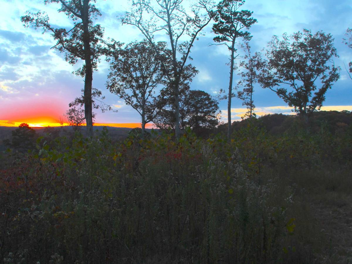
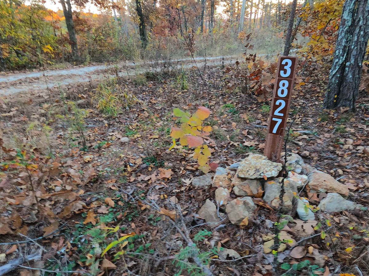
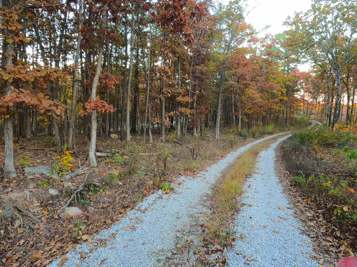
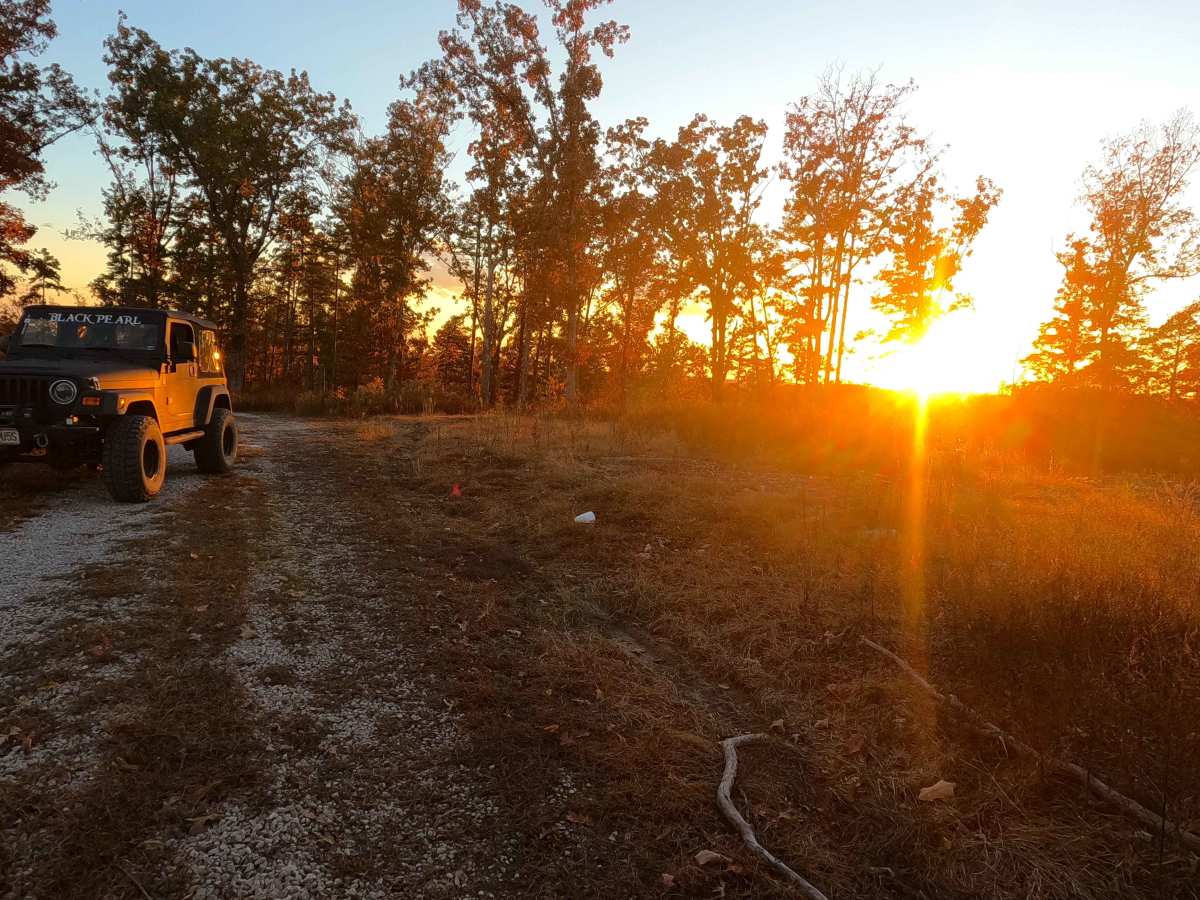
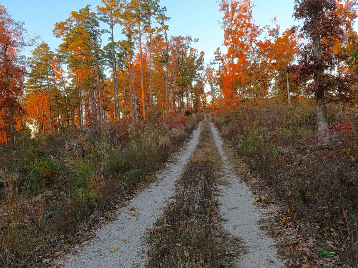
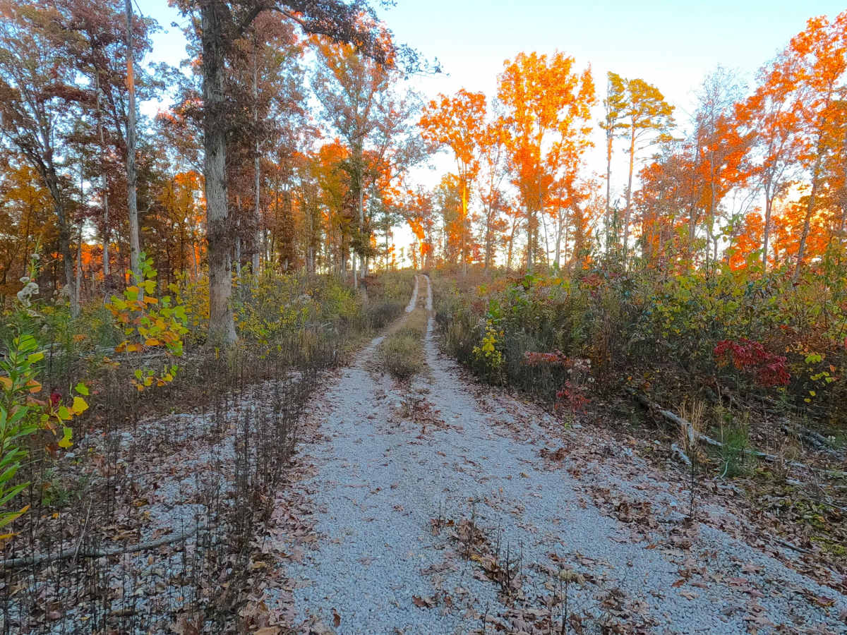
Lakeview FS 3827 is a gravel Forest Service road within the Poplar Bluff Unit of Mark Twain National Forest. Foreshadowed by its name, Lakeview is placed high up on the ridges above Emmatrude FS 5820, which itself suggests what both roads serviced, the former Emmatrude Lake. Lakeview, in its past form, seemed to be more rugged and natural, but in recent times was mended with fresh gravel in preparation for being logged in either 2024 or 2025. Despite the fresh gravel, the road traverses a rather steep drop in and out of a valley to reach the last spine of the ridge. This portion is already showing signs of mild erosion and has loose traction to begin with due to the grade. At this final spine, it is a turnaround area. If careful users can walk through the thorns and brush to get a slightly better view into the lake valley below, looking southwest will align users in the direction of the old Emmatrude Dam, which is still standing to this day (11/2025). Perfect place to enjoy a gorgeous sunset, just be sure you can make it back through the steep valley.
Difficulty
Lakeview is given a base rating of 2/10. Along the way, you will cross several whoops, dipping and diving, following the contour of the ridge tops. When documented in 11/2025, the road had recently been logged and was improved to a full, clean gravel road, but the hills near the end became rather steep, with loose enough gravel and rock to cause traction loss and potential sliding. It is safe to expect the normal gravel road complications, such as washboards, potholes, mounding of the gravel, and potential erosion washes, and spots where the gravel fades to dirt. Difficulty could increase in seasons of extreme inclement weather, lack of maintenance, and heavy use, but would likely drop back to 2/10 difficulty once dry, or as soon as it would be mended with more fresh gravel.
History
When looking at the 1934 edition topo map of Williamsville, MO, you can clearly see the Lakeview Road (now FS 3827) and Emmatrude Lake Roads (now FS 5820) following nearly the same tracks that they do to this day. Based on the boots on the ground view at the Emmatrude Dam spillway, there was a former section of road between Lakeview and Emmatrude, with a high possibility of connecting the two in the past, especially with the present powerline/pipeline cutout at the southern end of the two roads. This old section of road is partly underwater directly south of the dam, but can be visually seen going into the water on both sides. Around the Emmatrude Dam, the beavers are damming back water before the stream crosses underneath the train tracks to the south, right before flowing into the Black River. It is quite the sight to see. The dam, according to Mark Twain Heritage, started to fail somewhere in the mid-1950s, with historic aerials showing the Lake shrinking in size to eventually only a stream and small pools. If seeking more history of the two roads, Emmatrude Lake, Kneibert Spring, and the last private land owner Dr. Fred Kneibert, check out the history section on the Emmatrude FS 5820 feature trail, or go to Heartland Trail Trash's YouTube channel, for history, and to see the volunteer efforts being made to preserve and maintain the site so it can be enjoyed for years to come. Heartland Trail Trash does a fall "Spruce Up" event at the site annually between mid October - early November, the 3rd annual Spruce Up on Nov 8th, 2025 cleared thorns and brush off the old dam access road to form a walking trail all the way to the Dam, this Heritage Hiking Trail is right at .4 miles long from the Kneibert Spring / Homestead or Emmatrude FS 5820 turnaround lot. Documented by Christopher Menz 11/2025.