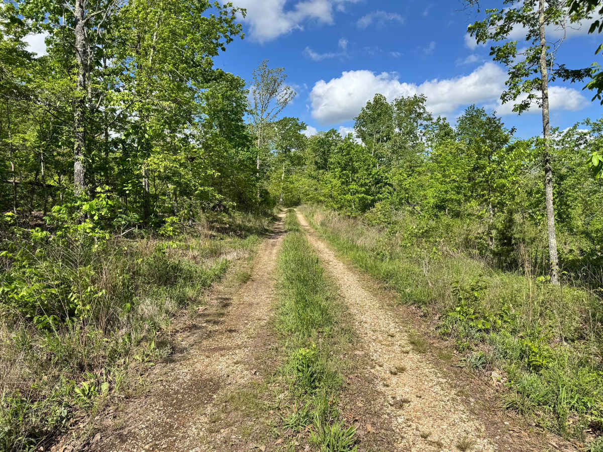
Trail Overview
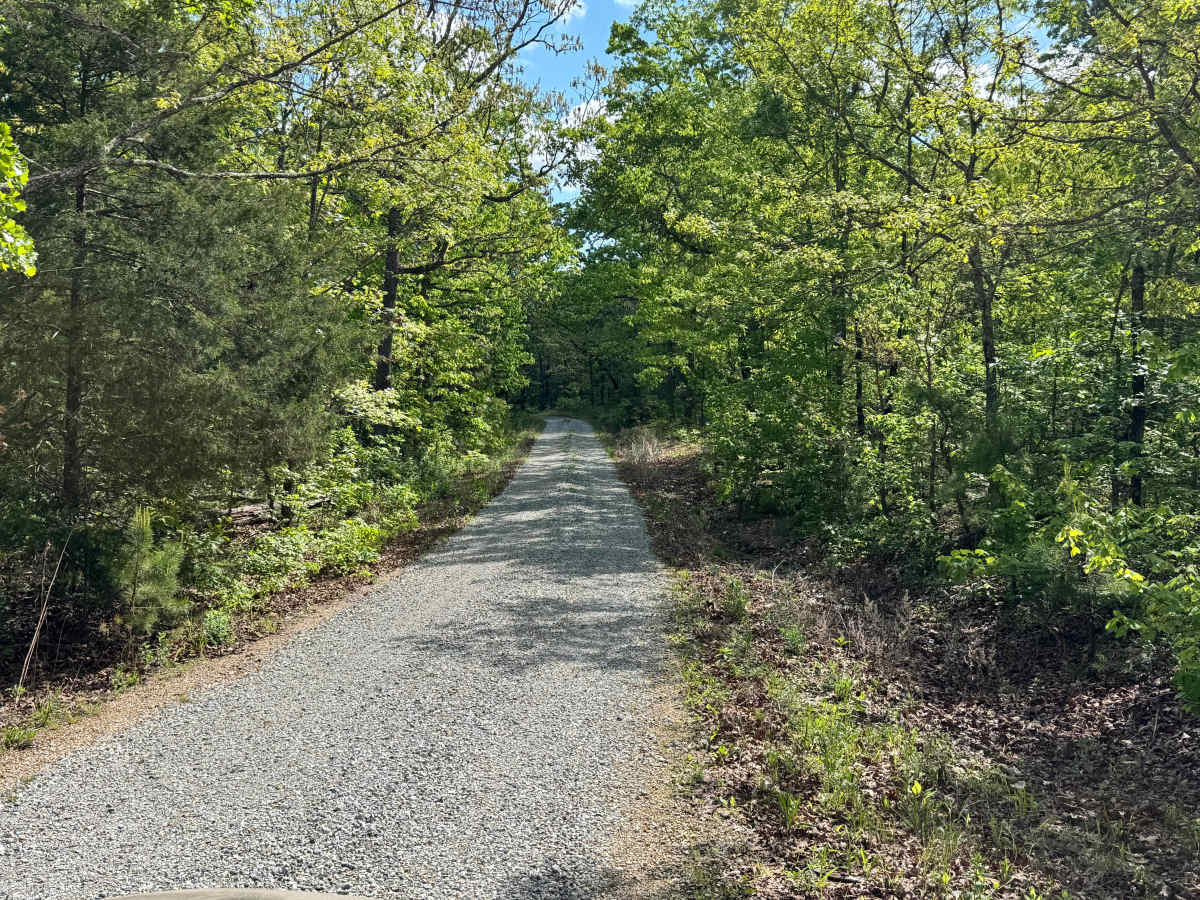
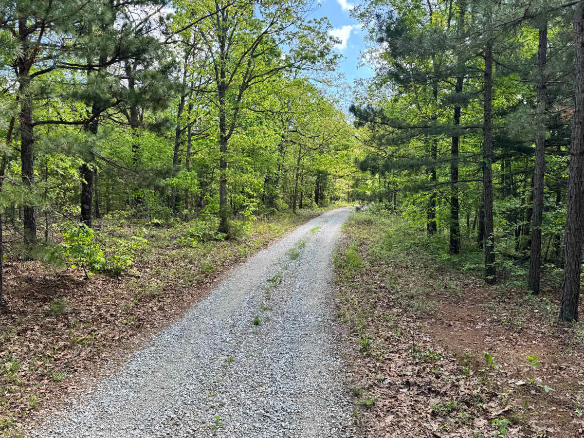
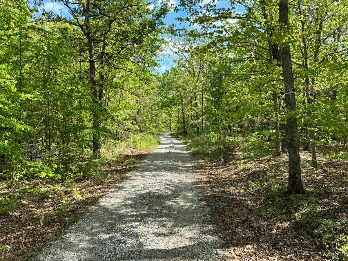
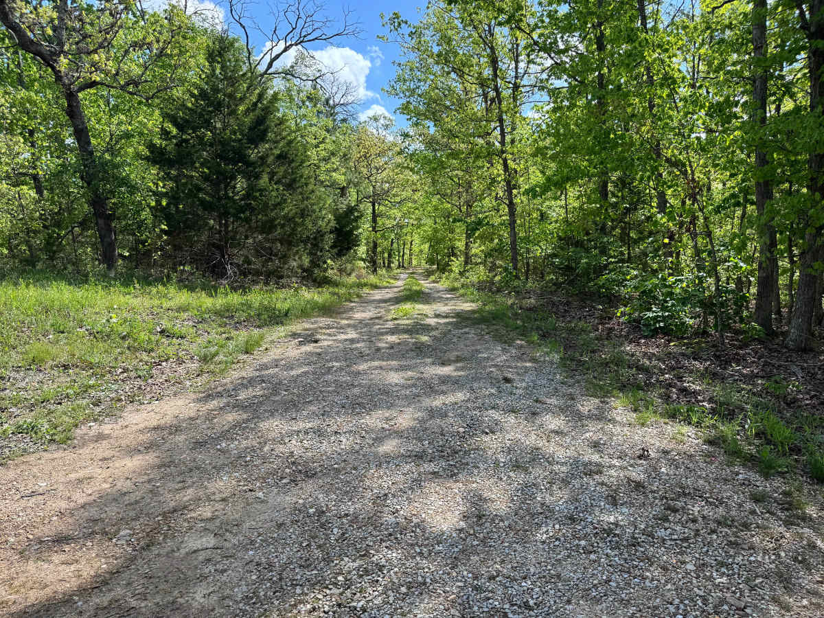
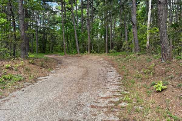
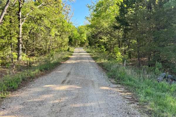
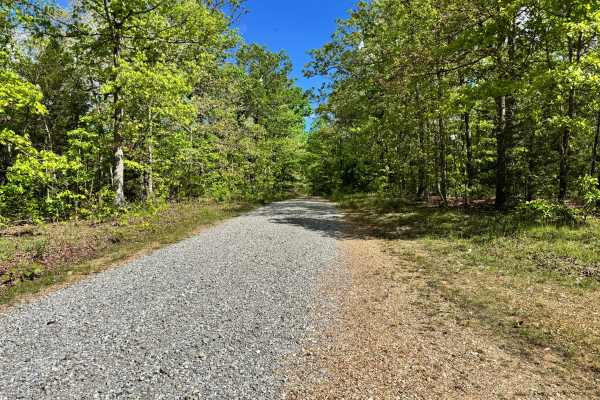
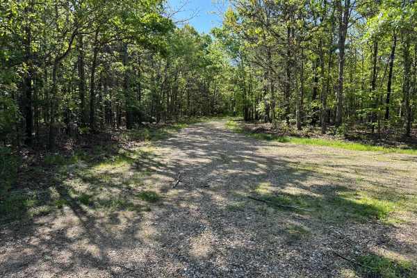
This out-and-back forest route follows a gravel-based trail that is easy to navigate and offers a relaxed drive through the trees. Unlike some tighter trails in the area, vegetation is kept back enough that pinstriping is not a major concern for most vehicles. The route winds gently through the woods with a peaceful, remote feel and very little technical challenge. Along the way, you will find a couple of campsites, including one near the beginning and another at the end of the trail, making it a good option for dispersed camping. Once you reach the end, simply turn around and retrace your path back out.
Difficulty
This route is a maintained gravel out-and-back trail with no significant obstacles, steep climbs, or technical sections. Body damage risk is low since overgrowth is minimal and pinstriping is not a major concern. Suitable for stock high clearance vehicles and many AWD/4WD vehicles.
History
Mark Twain National Forest was established in 1939 and spans large portions of southern Missouri. Many roads and routes through the forest originated as access roads for timber, land management, and rural travel, and today they provide access for recreation and outdoor exploration.