Trail Overview
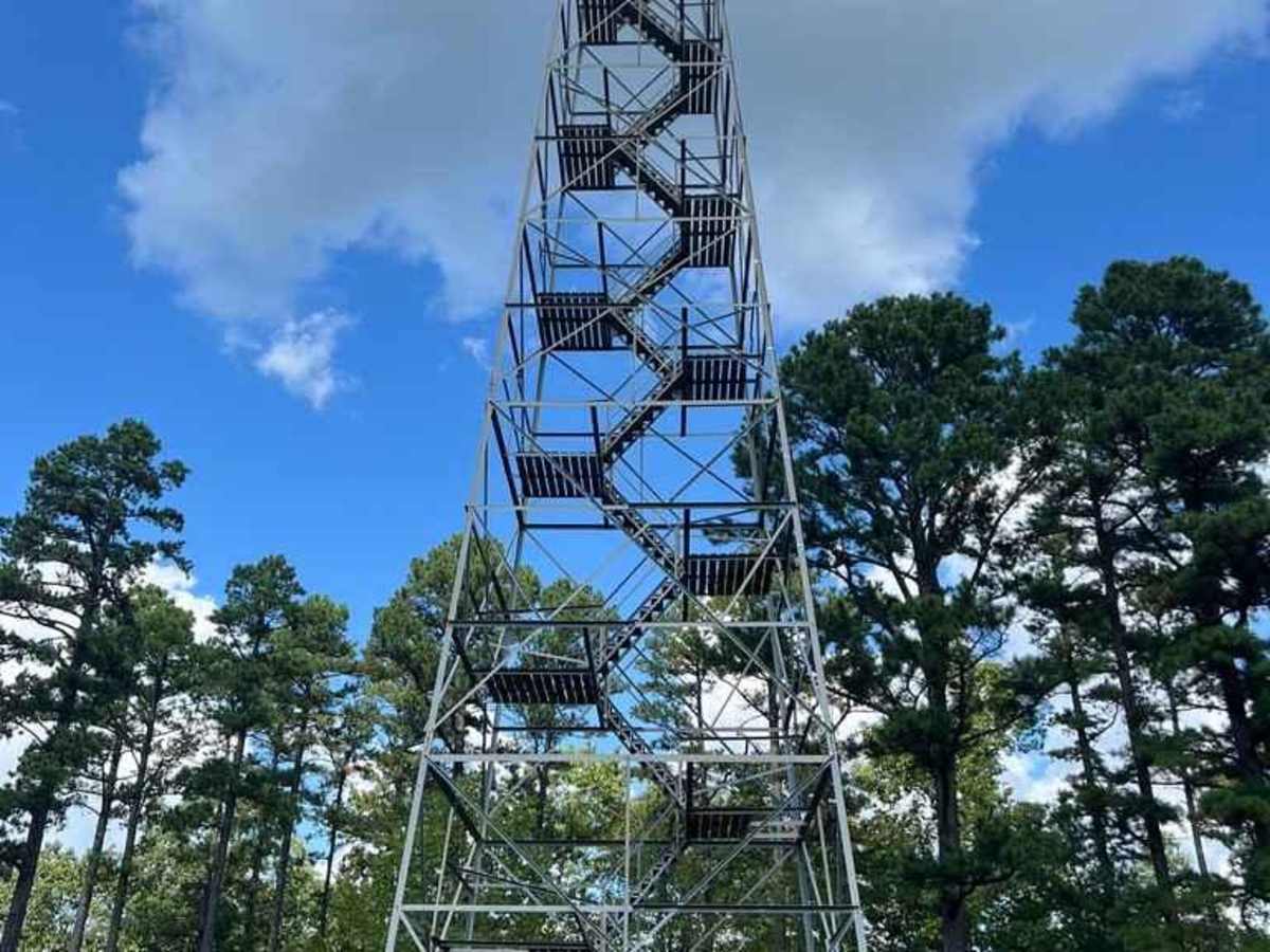
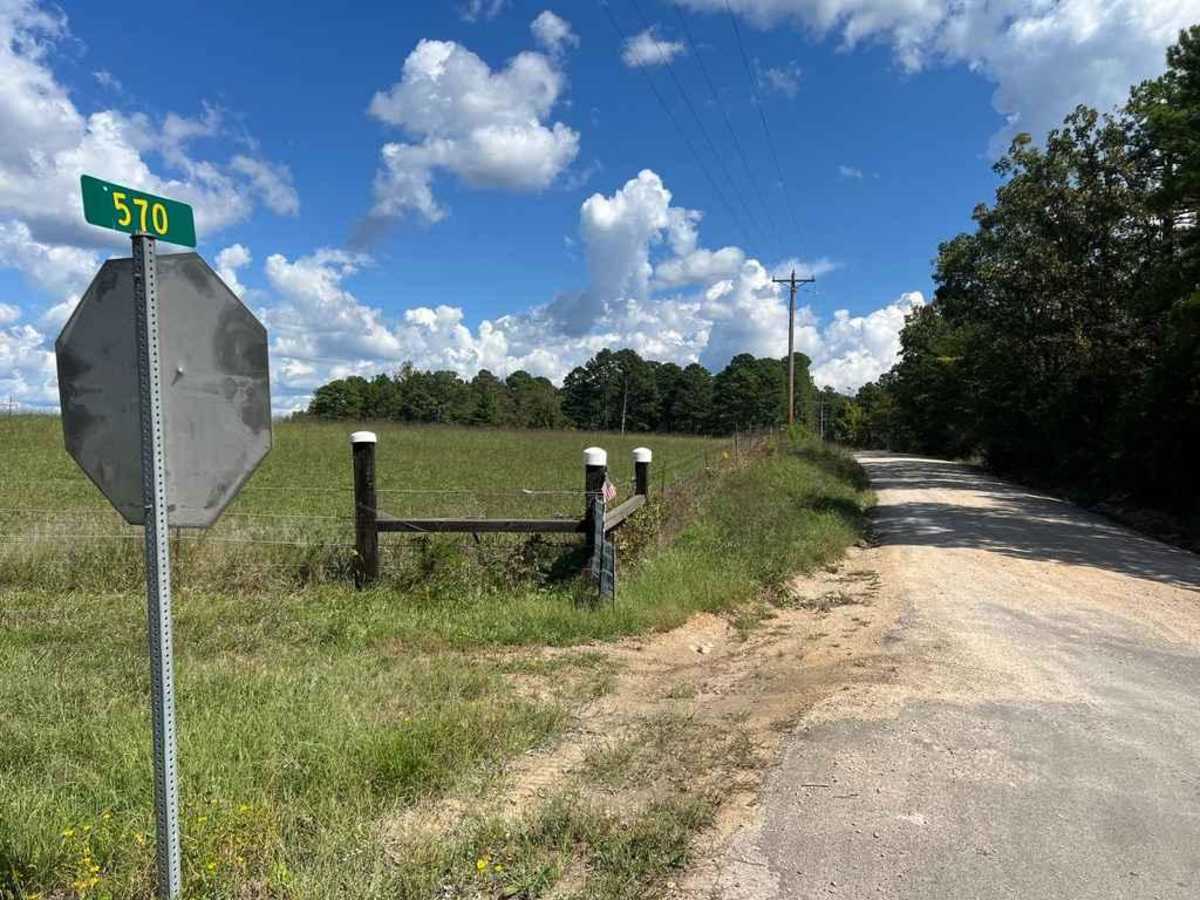
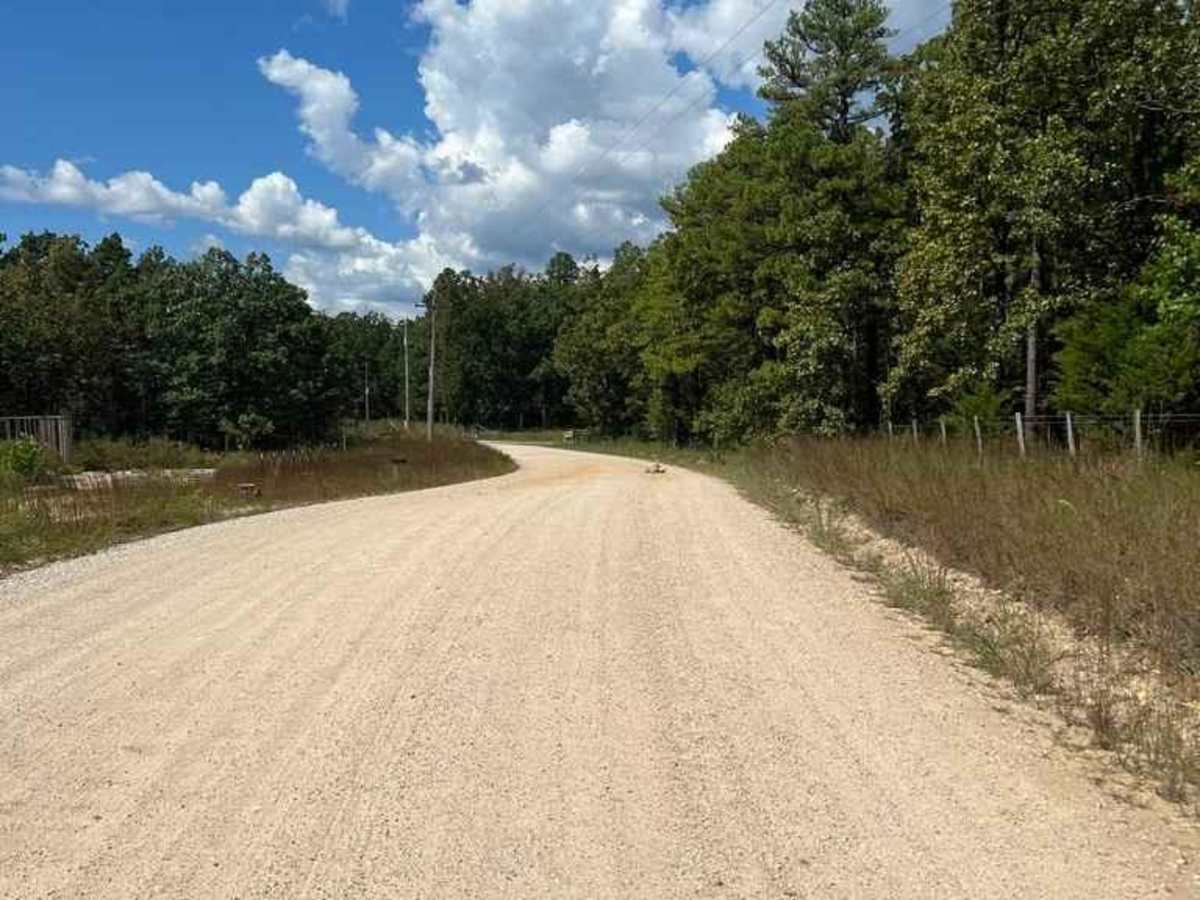
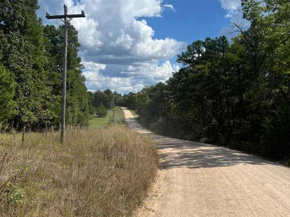
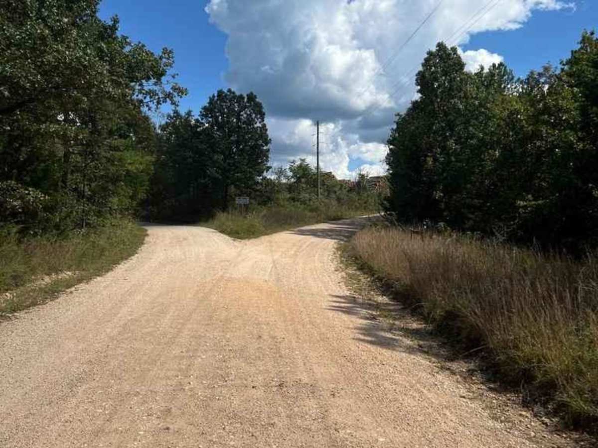
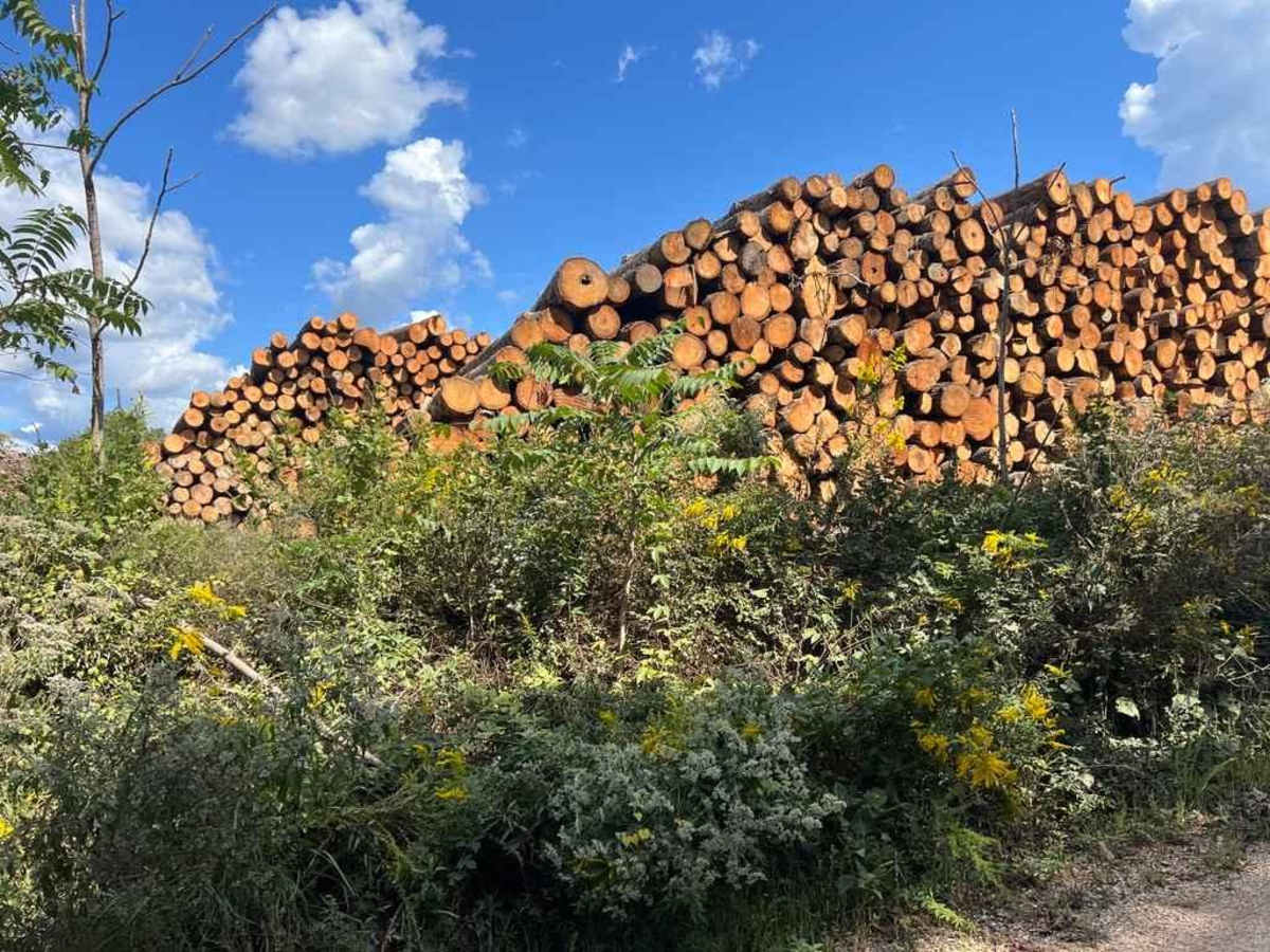
Garwood Tower or Reynolds County Road 570 is a gravel road leading to the Missouri Department of Conservation-owned Garwood Fire Tower. It features a unique track with a county road leading up to, and then through, an active logging sawmill, which has a public easement to pass through to connect to the final stretch of the track, ending at the fire tower. If wanting to visit the Tower, please be mindful of those working at the sawmill, watch for and yield to heavy machinery, and aim to be as least influential as possible to the mill's operation. The tower is still climbable, featuring widespread views of the greater Van Buren and Ellsinore region, while being surrounded by the grit and grind of the Missouri Ozark's biggest production and livelihood, timber.
Difficulty
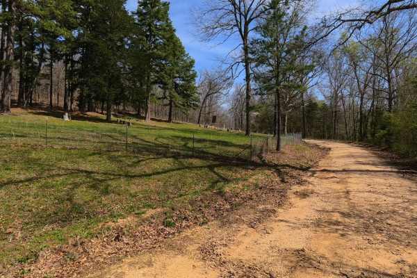
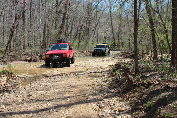
The Garwood Tower road is given a base rating of 1/10, based on the mild gentle hills it follows along the ridge top of this area, only having the potential gravel road complications of mounding, washboarding, and potholes.
History
The 40-acre towersite was acquired in the fiscal year 1947-1948 by the Missouri Conservation Commission, followed by the 1950 report stating that the Missouri Conservation Commission owned the towersite, and designated it the Garwood Lookout Tower. In 1962 a Geodetic Survey noted that the tower was made of 4 wooden legs at roughly 50 feet tall, but that wooden tower did not last much past this survey. According to the Conservations records the 7x7 Cab, 100-foot tall metal tower was completed in 1964, which remains standing as of 10/2024.