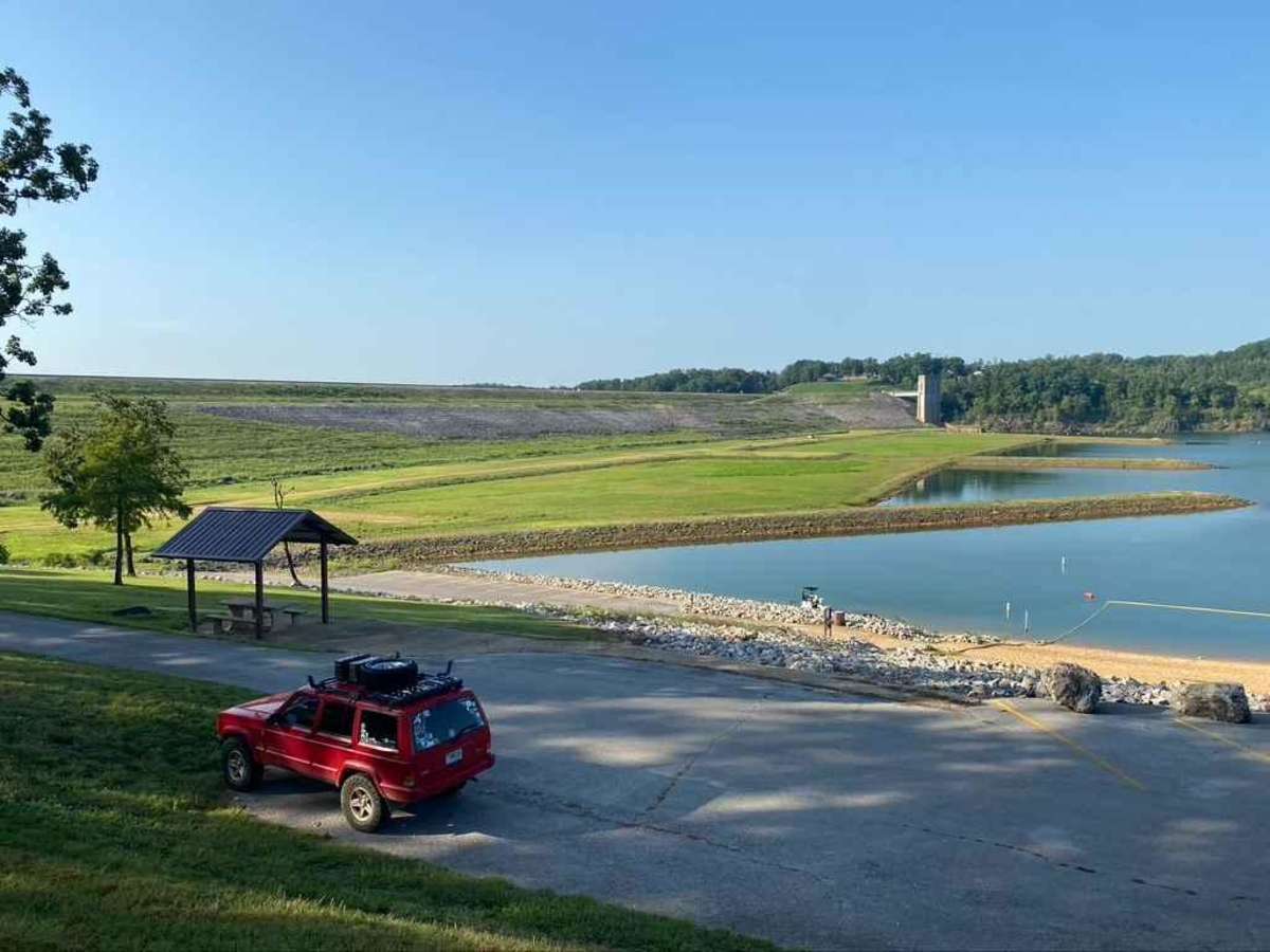
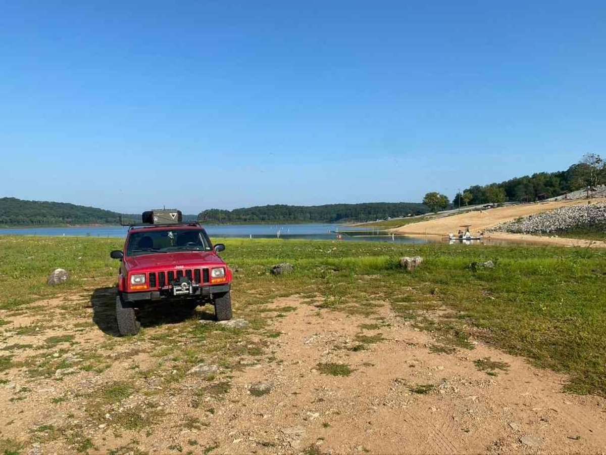
Trail Overview
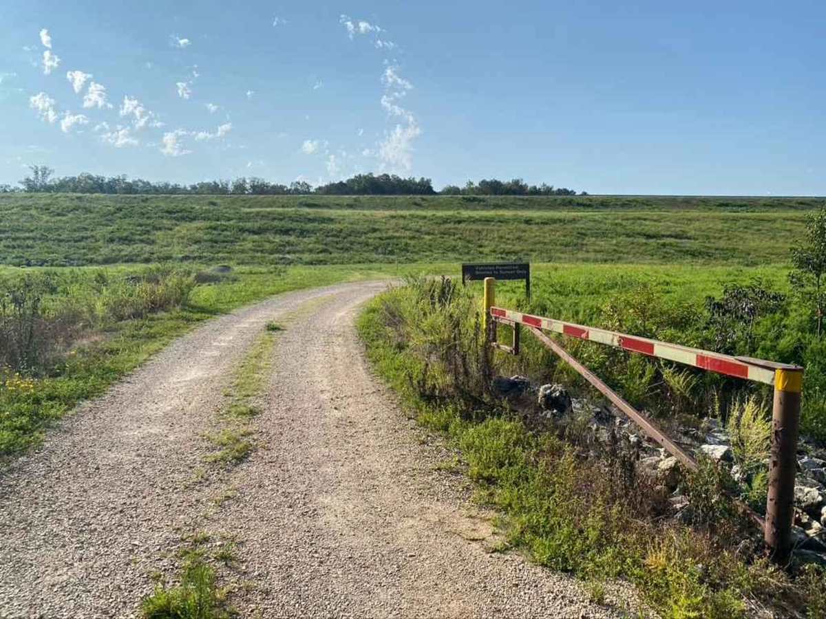
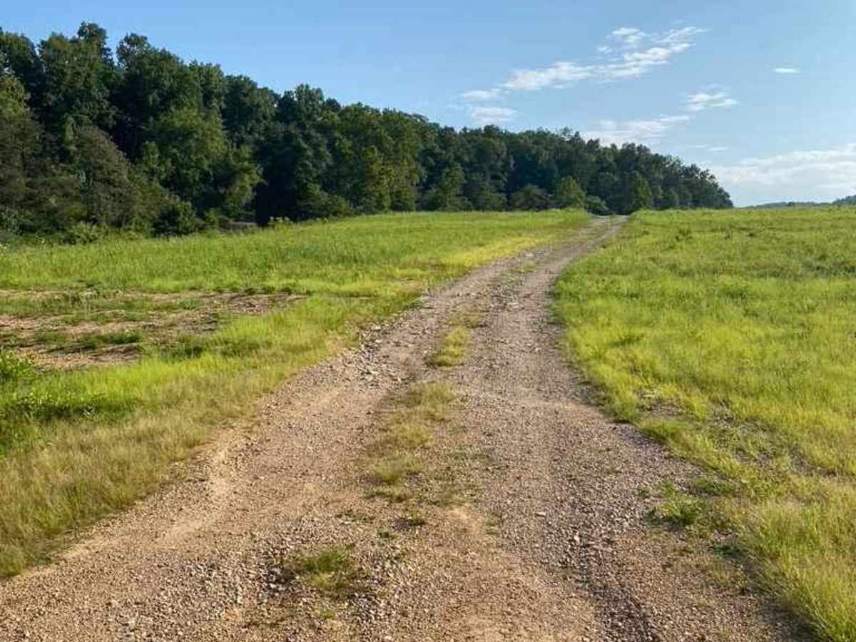
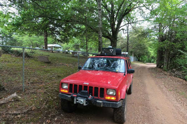
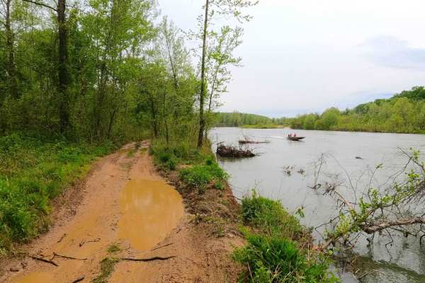
The Clearwater Lake Dam Road is a gravel-to-dirt road that traverses the low-laying bottoms along the Clearwater Lake side of the dam. This is a part of the Piedmont Park Campground Area managed by the US Army Corps of Engineers. The road is short and sweet, offering only a quick taste of what this area has to offer, but the views are very scenic and show off the best of Missouri's lake time culture. From here, users could set up a meeting point, camp nearby at Piedmont Park campground, take lunch in the middle of a Black River Bottoms outing, get the boosted cell signal found at the Fire Station just south of the dam gatehouse, or finish up a day out on the trails with a beautiful view of the sunset over Clearwater Lake. It's a great spot to know, even if the road is just a small fraction of this area's gorgeous landscape. Note that the Piedmont Park Campground at Clearwater Lake has an annual off-season from November 1st to March 31st; the trail could be closed during this time.
Difficulty
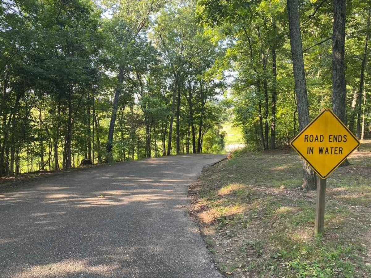
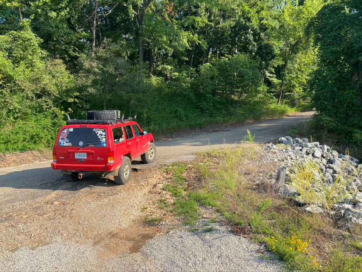
The road is simple and generally maintained, featuring only mild grades leading to the bottoms via gravel. The second half past the gate is dirt. The dirt section may become surface mud in times of wet conditions and heavy rain, and can also be shut down when the lake is at flood stages. If water is over the trail, do not attempt it. It is illegal to have tires in the lake water, and it would be very likely to claim a vehicle in the loose fine sediment soil mixed with waters reshaping the terrain. This is given a 1/10 for the simplicity of the road, but in rare times, it could be a 2/10 through user wear and nature's influence.
History
The U.S. Army Corps of Engineers designed the Clearwater Lake earth embankment dam to provide water supply, recreation, and flood control to the surrounding local area. Construction on the dam began in 1940 but was not completed until 1948 due to the Second World War. The top 3 historic flood level crests at the Clearwater Lake Dam gauge are 566.60 feet on 05/20/2002, 566.59 feet on 05/01/2011, and 565.55 feet on 05/01/1957. The normal day level is approximately 490-500 feet.