West Wildcat Road

Total Miles8.2
Technical Rating
3Easy
Best TimeSpring, Summer, Fall
Trail TypeFull-Width Road
Accessible By
Open Trail Map

Trail Overview

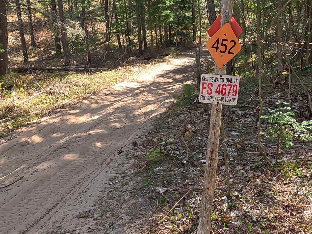
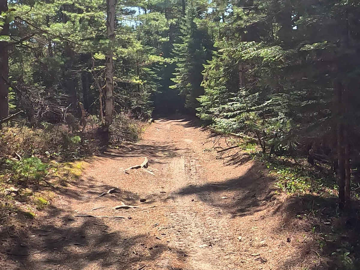
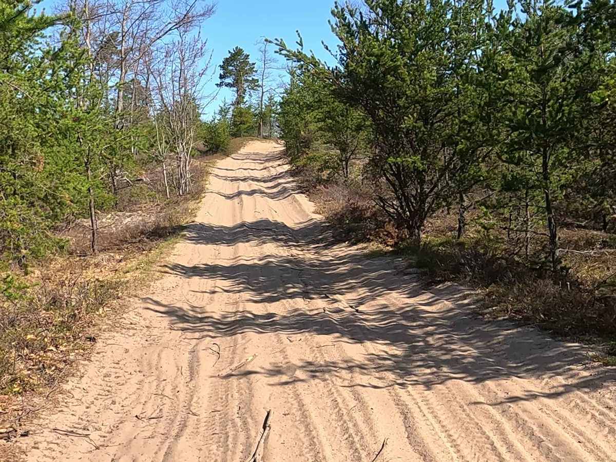
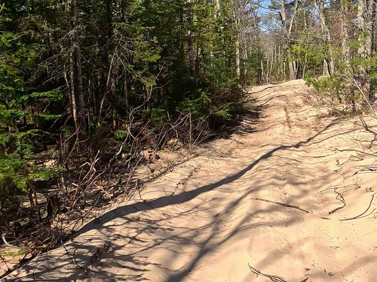
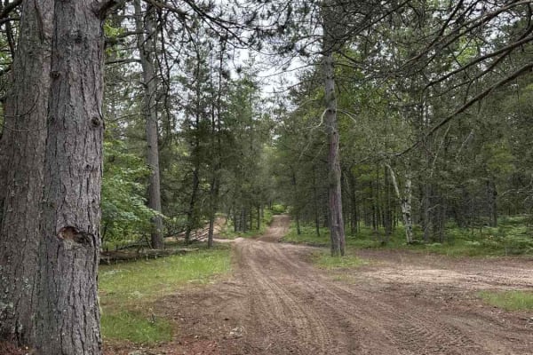
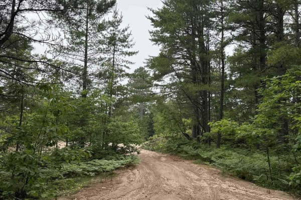
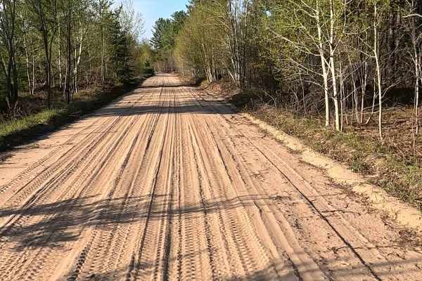
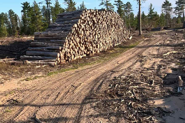
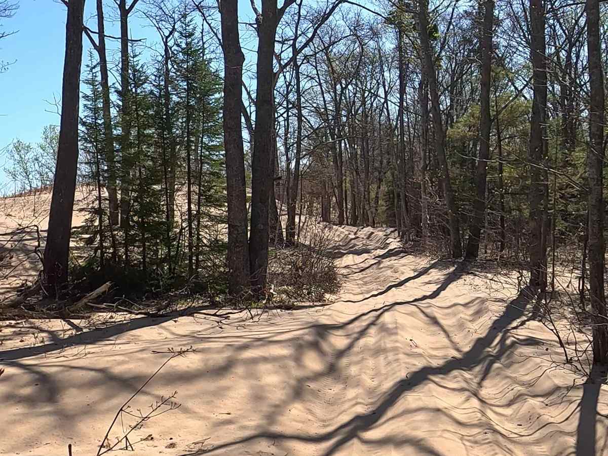
West Wildcat Road is a state-owned/locally maintained, Level-2/Level-3 forest access route with a surface composed of sand, dirt, tree roots, and native material. It is a "Two-Track" route that traverses parallel to Lake Superior along the West shore of Whitefish Point of Michigan's Upper Peninsula.

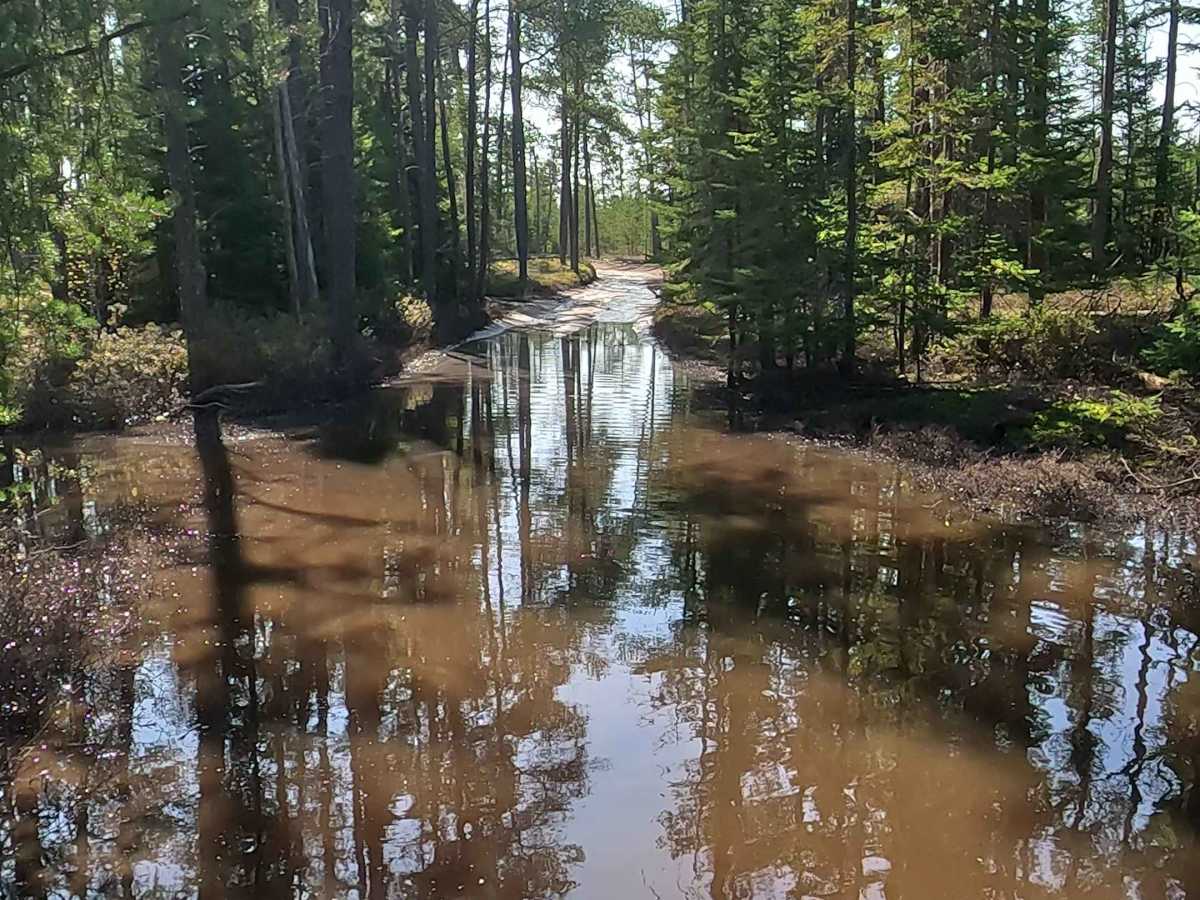
Photos of West Wildcat Road

Difficulty

Sand, dirt, gravel route typically unmaintained after rain or snow that may give rise to water crossings > 12” and obstacles such as tree/ tree branches.

History

West Wildcat Road branches off Whitefish Point Road just 9.5 miles north of Paradise, Michigan. Historically serving as the gateway to the remote "Cranberry Farm" and a string of off-grid Lake Superior camps, it runs parallel to the Point’s world-renowned bird and raptor migratory corridors

Technical Rating

3

Status Reports

Add Status Report
Derek Vanspronsen
Jul 13, 2026
2008 Lexus GX
Obstructed
Washout
trail is easy up to the cranberry marsh and dispersed camping area just after. then it turns to very deep loose sand. further down the trail is washed out, forcing you to bypass into a swamp in the woods. would recommend against a full size vehicle!

West Wildcat Road Trail can be accessed by the following ride types:

  • Single Track
  • 50 Inch
  • 60 Inch
  • High Clearance
  • Full Width

West Wildcat Road Map

The onX Offroad Difference

onX Offroad combines trail photos, descriptions, difficulty ratings, width restrictions, seasonality, and more in a user-friendly interface. Available on all devices, with offline access and full compatibility with CarPlay and Android Auto. Discover what you're missing today!

Open Trail Map