Twin Lakes Trail

Total Miles2.1
Technical Rating
3Easy
Best TimeSpring, Fall, Winter, Summer
Trail TypeFull-Width Road
Accessible By
Open Trail Map

Trail Overview

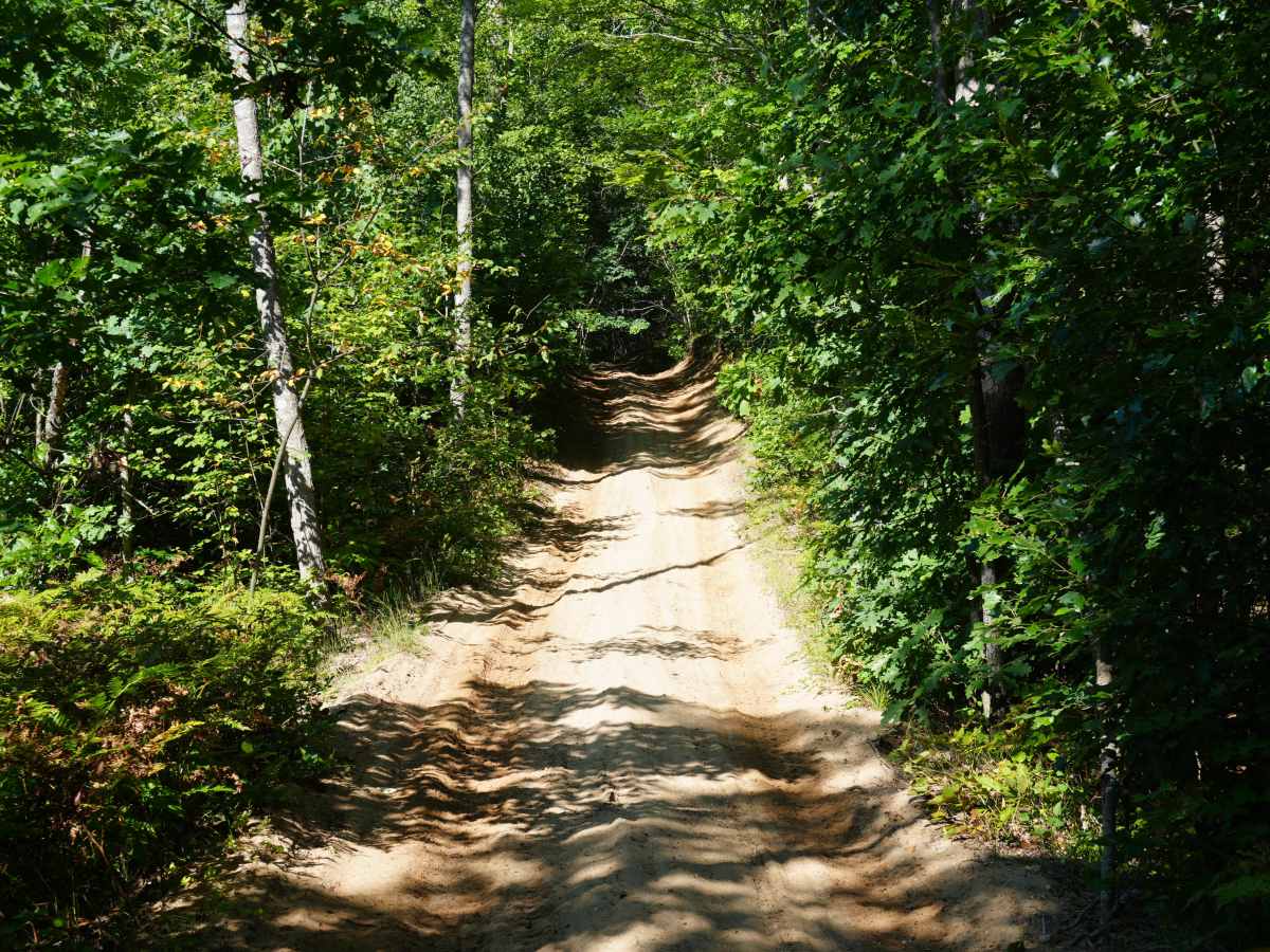
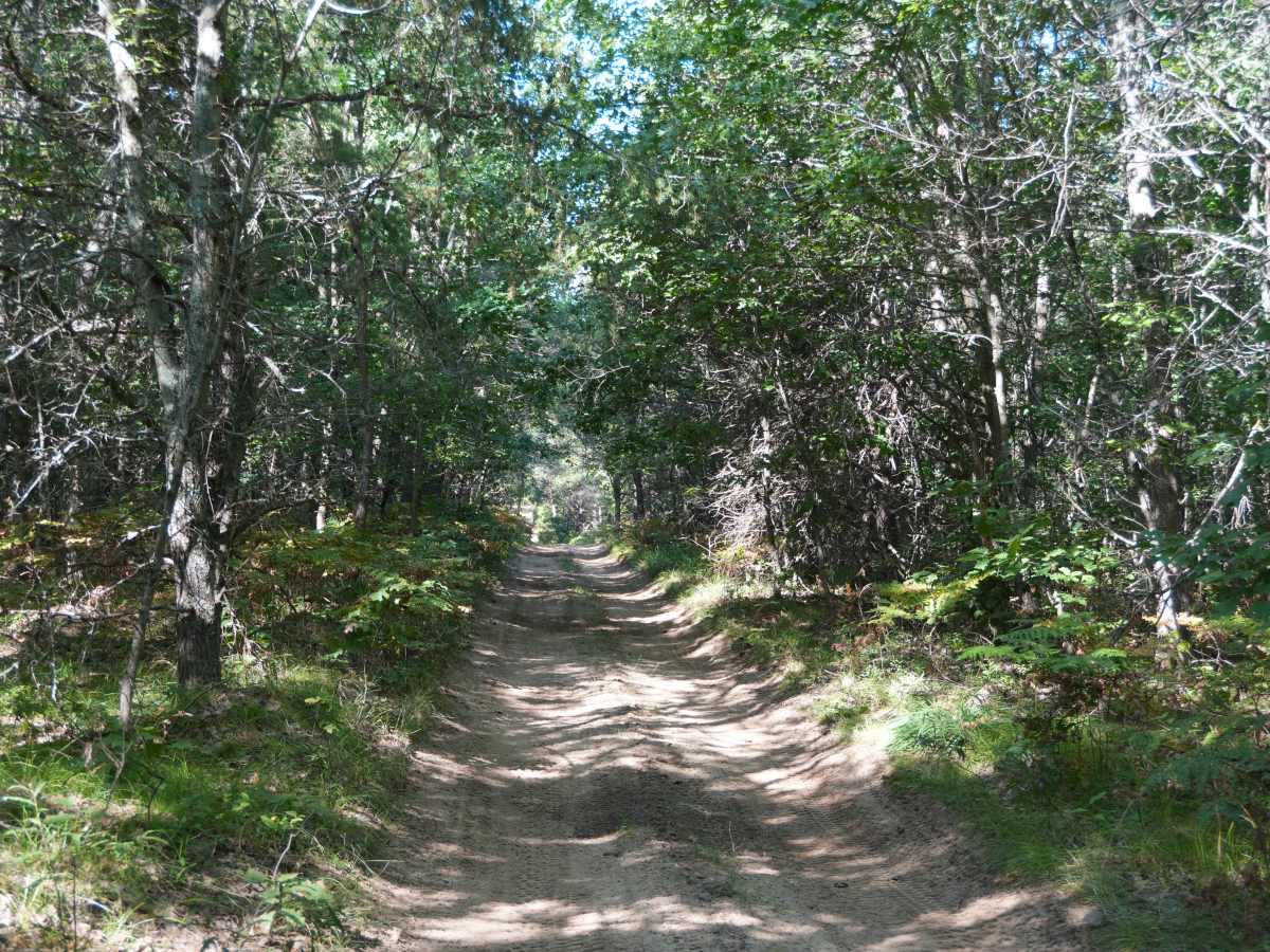
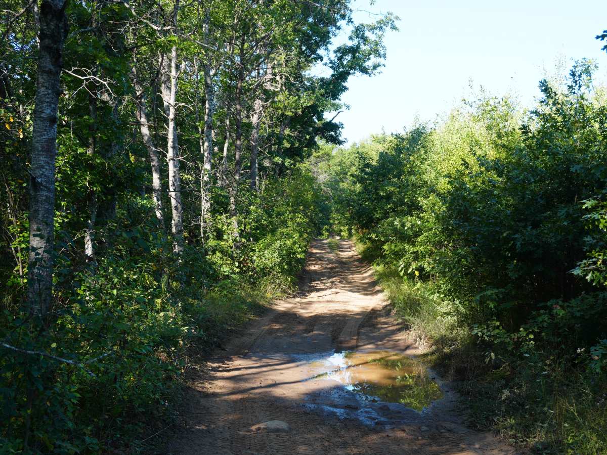
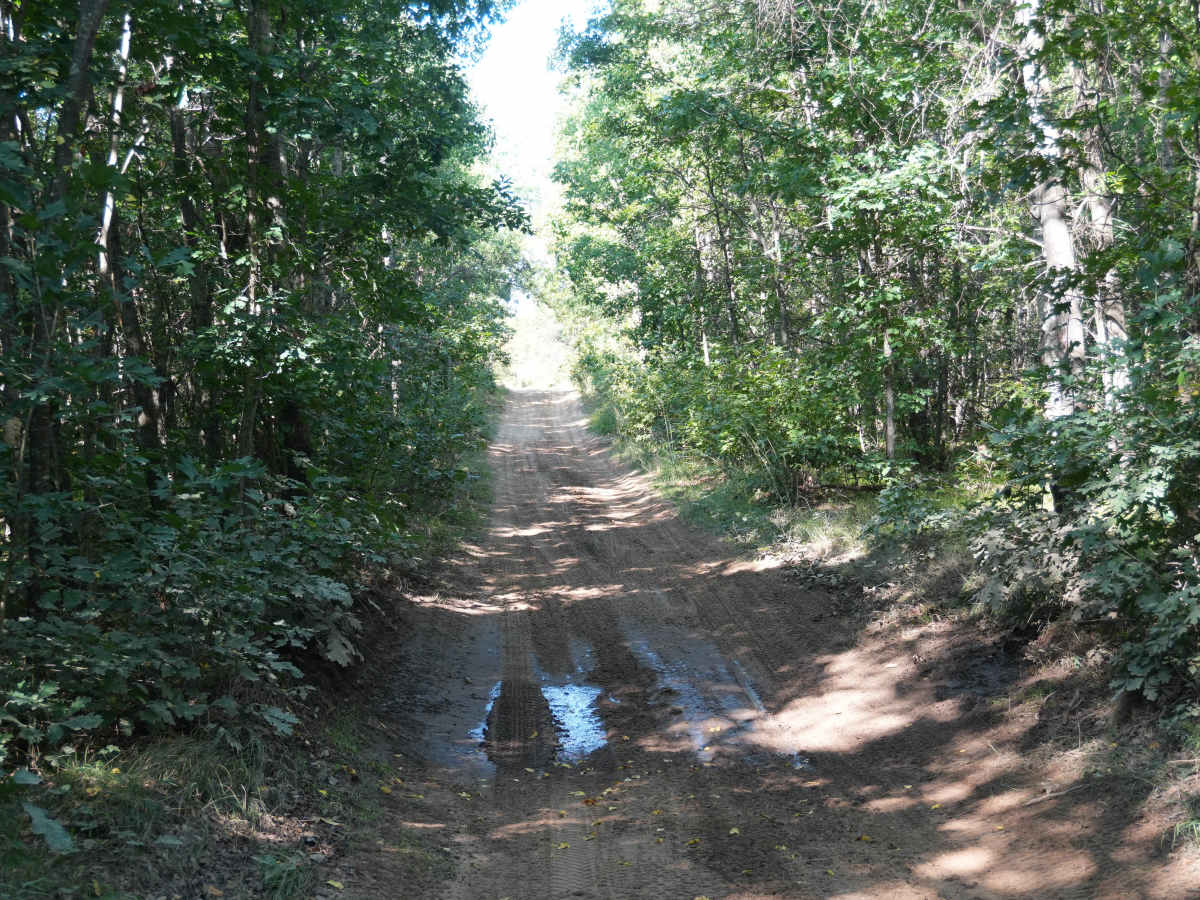
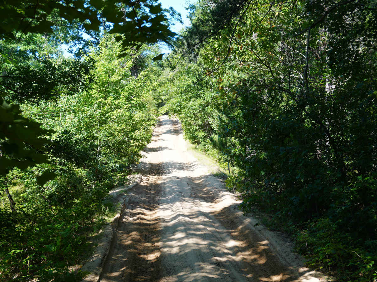
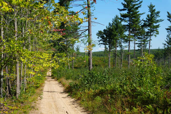
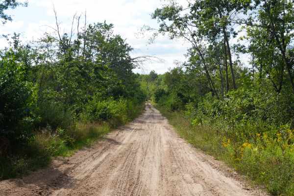
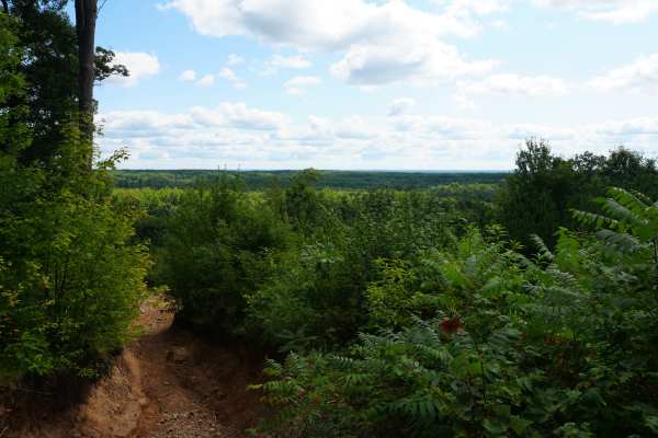
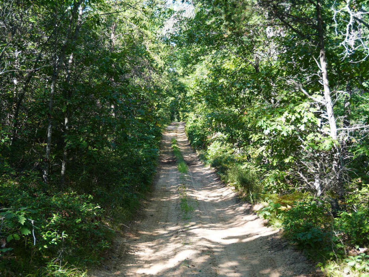
This is a seasonal road that branches off from the South Saint Helen ORV route at its east end and continues west towards East and West Twin Lakes. It is a sandy two-track with several hills and tight tree branches surrounding it. The Michigan DNR map has it labeled as a DNR road that is also open to ORVs.

Photos of Twin Lakes Trail

Difficulty

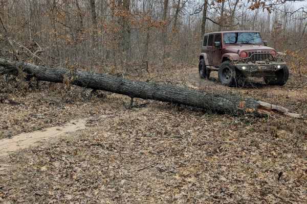
This trail is tight with trees branches and also has many hills. The use of 4WD will likely be needed. Snow will add to its difficulty in the winter.

Technical Rating

3

Twin Lakes Trail Trail can be accessed by the following ride types:

  • Single Track
  • 50 Inch
  • 60 Inch
  • High Clearance
  • Full Width

Twin Lakes Trail Map

The onX Offroad Difference

onX Offroad combines trail photos, descriptions, difficulty ratings, width restrictions, seasonality, and more in a user-friendly interface. Available on all devices, with offline access and full compatibility with CarPlay and Android Auto. Discover what you're missing today!

Open Trail Map