Trail 76

Total Miles4.7
Technical Rating
2Easy
Best TimeSpring, Summer, Fall
Trail TypeFull-Width Road
Accessible By
Open Trail Map

Trail Overview

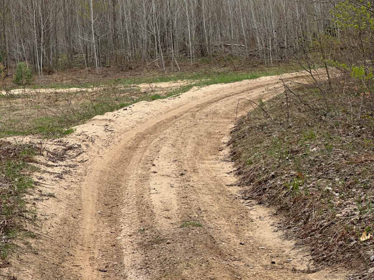
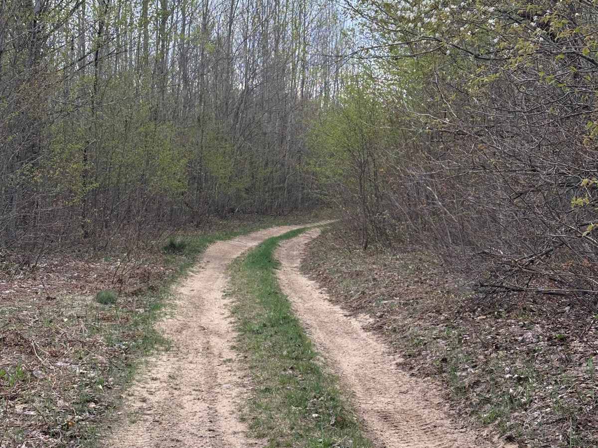
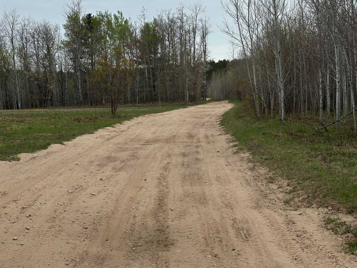
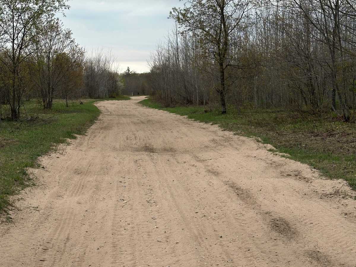
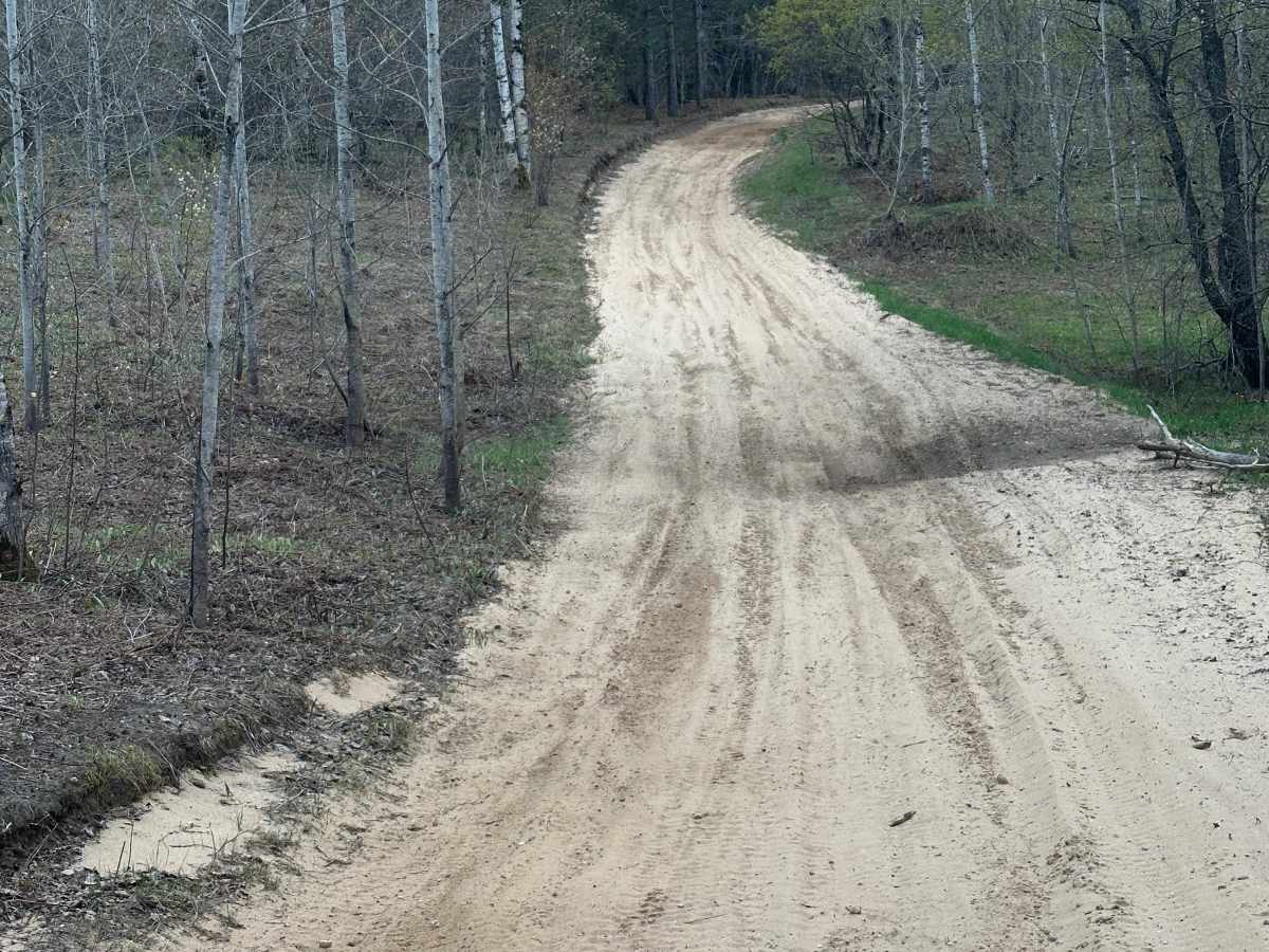
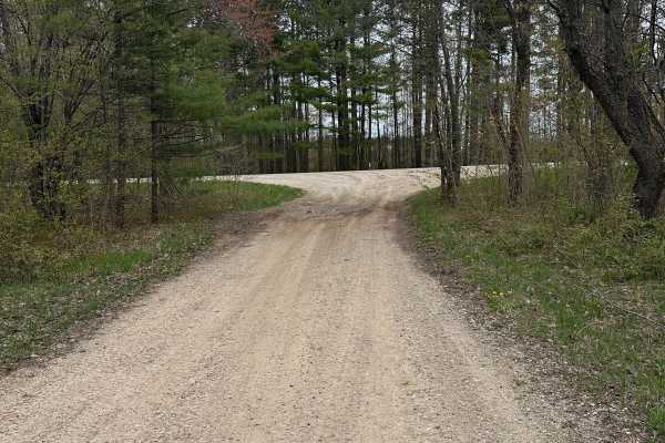
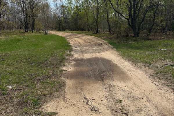
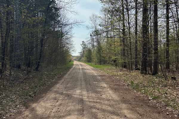
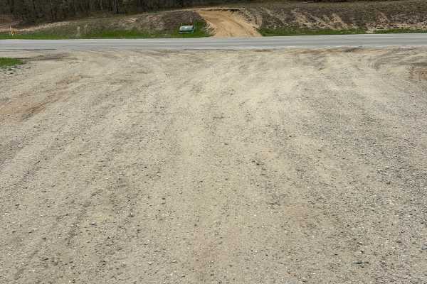
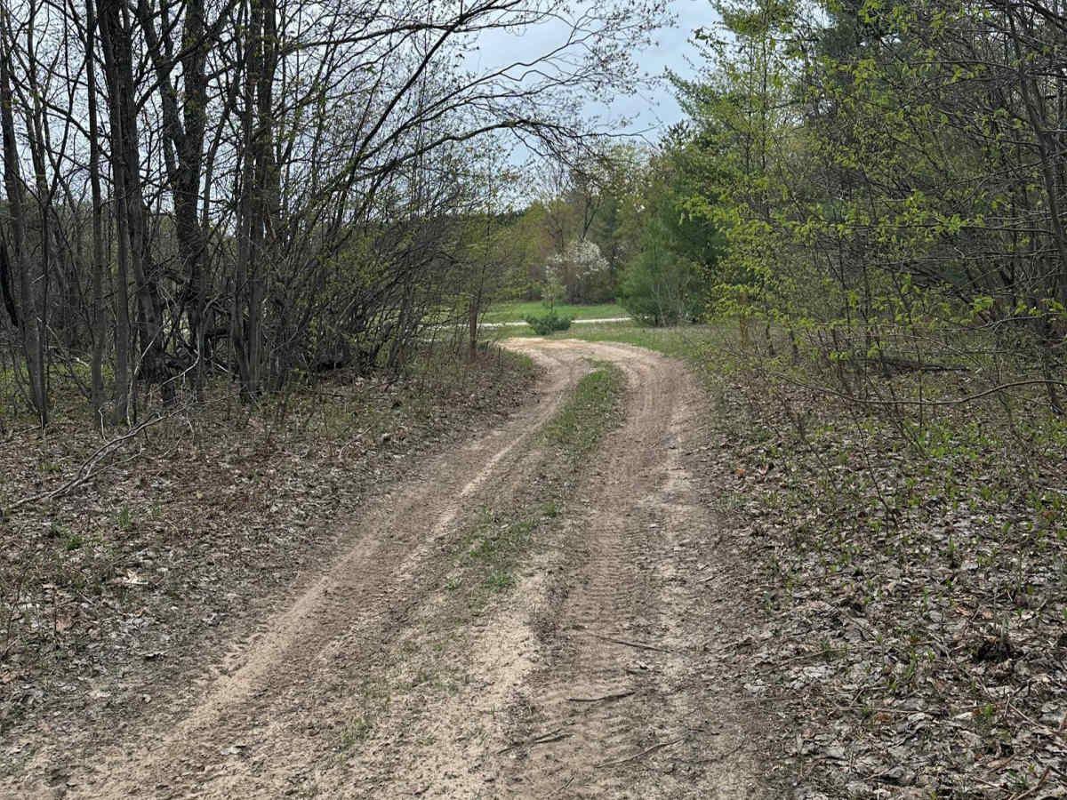
Trail 76 travels through the Gaylord Forest Management Unit on a single-lane dirt-and-sand road. Surrounded primarily by pine and hardwood forest, the route offers a relaxing ride and opportunities for wildlife viewing. Expect soft sand and ruts in places. The trail can be run in either direction and ends at Starvation Lake Road NE. Remember to stay on designated trails and follow Tread Lightly principles.

Photos of Trail 76

Difficulty

This trail carries a difficulty rating of 2, though conditions may increase it to a 3 depending on the time of year. Soft sand, seasonal water holes, and deep ruts are the primary considerations, so use caution while exploring the route.

Technical Rating

2

Trail 76 Trail can be accessed by the following ride types:

  • Single Track
  • 50 Inch
  • 60 Inch
  • High Clearance
  • Full Width

Trail 76 Map

The onX Offroad Difference

onX Offroad combines trail photos, descriptions, difficulty ratings, width restrictions, seasonality, and more in a user-friendly interface. Available on all devices, with offline access and full compatibility with CarPlay and Android Auto. Discover what you're missing today!

Open Trail Map