Trail Overview
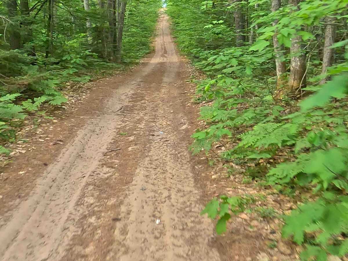
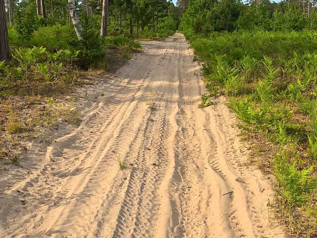
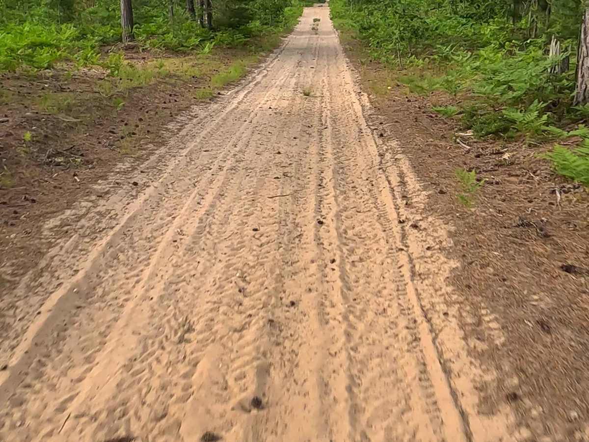
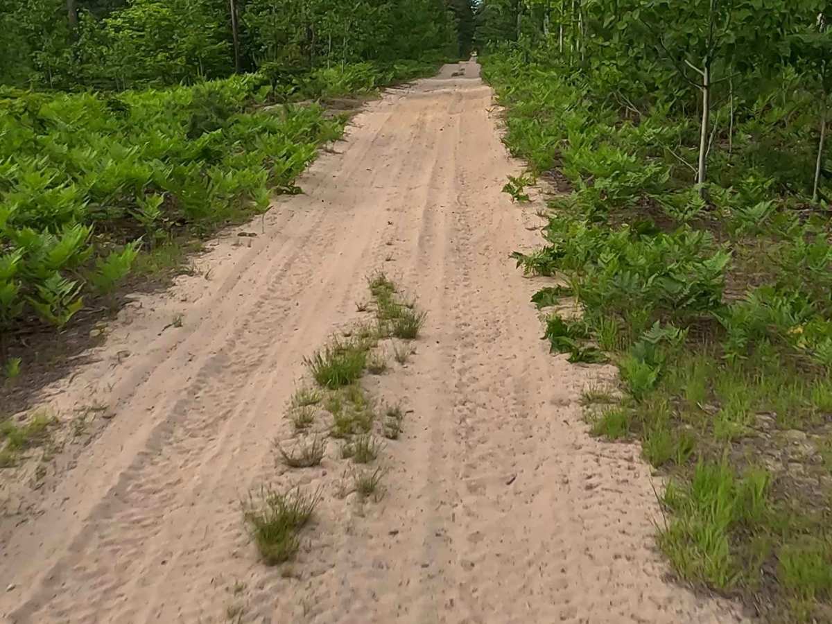
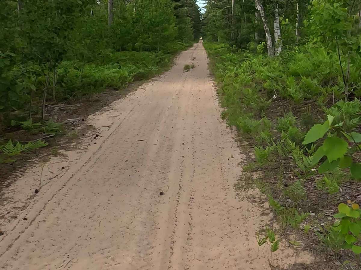
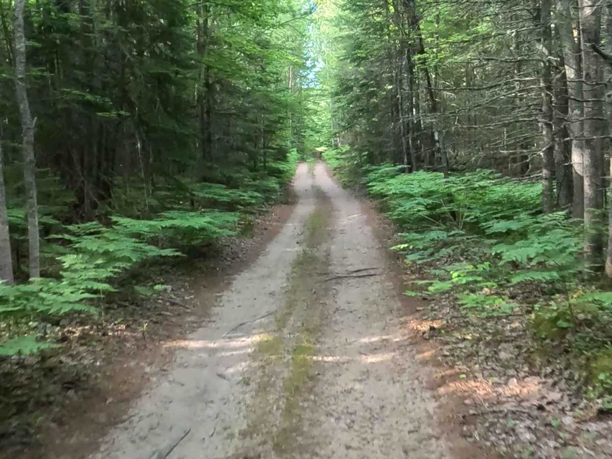
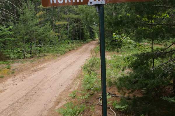
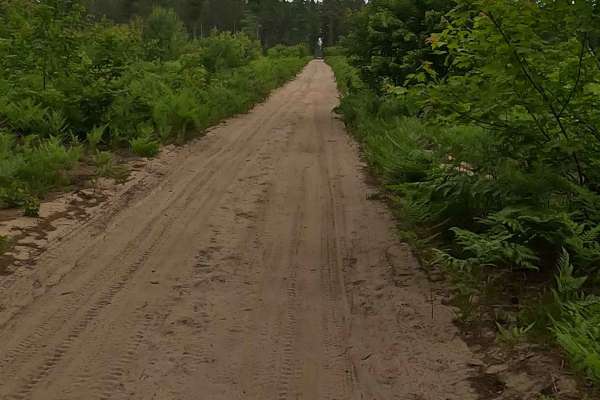
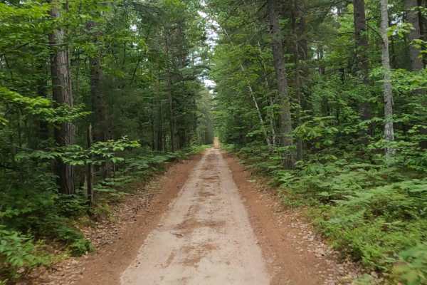
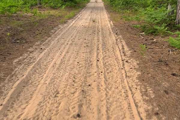
State Forest Roads 46824/37635/37637/37641 are state owned/ locally maintained, Level-2/ Level-3, DNR roads open to ORVs and equestrian rigs with a surface composition of sand, dirt and native material (ex: leaves, pine needles, pine cones, sticks, branches and rocks). This route offers access to forested "Two-Tracks", Hiking and Equestrian trails within the deep wilderness south of Muskallong Lake and between Blind Sucker Flooding and the Two Hearted River. Acting as a dual-purpose infrastructure corridor. While the Michigan DNR maintains it for wildfire control and logging access, it is heavily integrated into the Upper Peninsula's tourism economy. Transforming a historic emergency route into a primary thoroughfare for off-road recreation.
Difficulty
Sand, dirt, gravel route typically unmaintained after rain or snow that may give rise to water crossings over 12 inches and obstacles such as trees/tree branches and river overflow crossings.