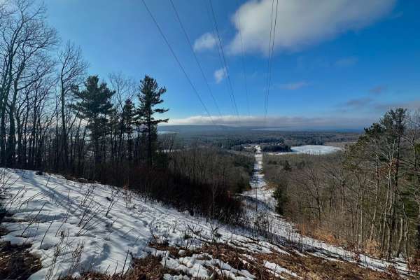
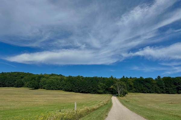
Trail Overview
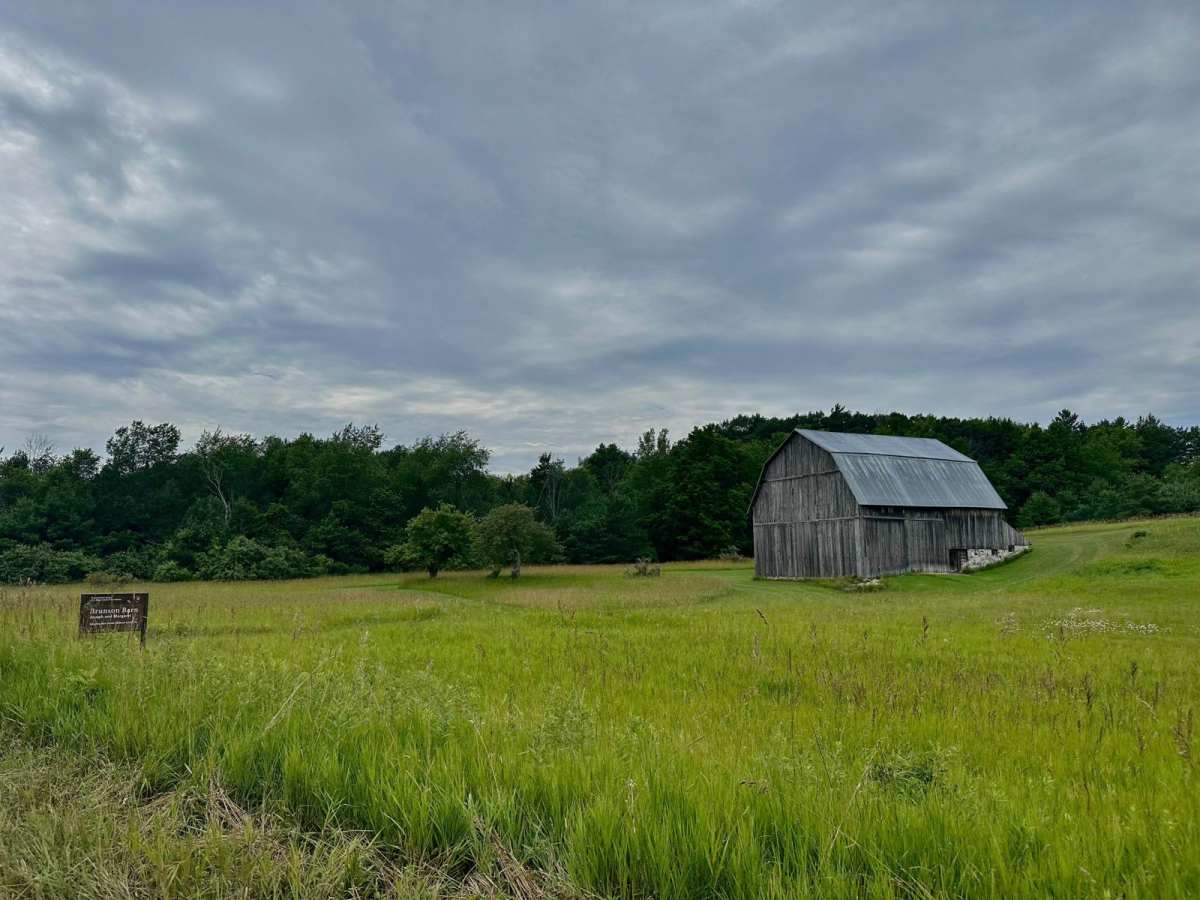
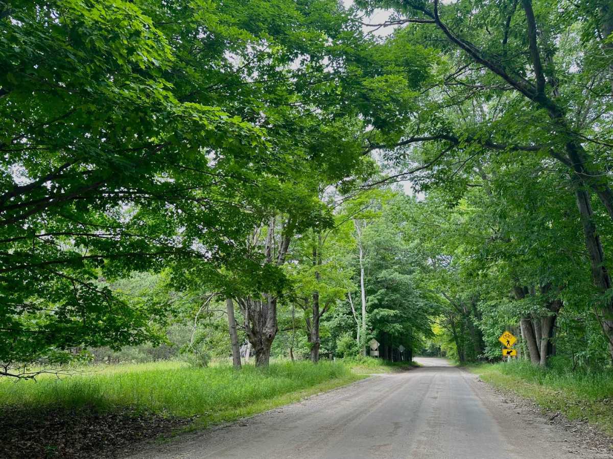
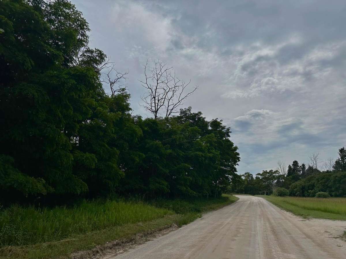
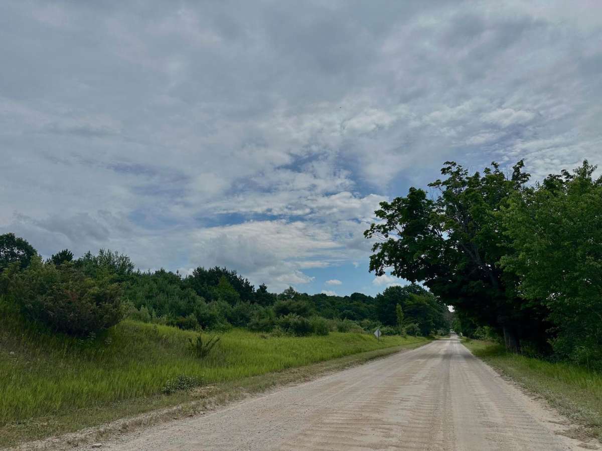
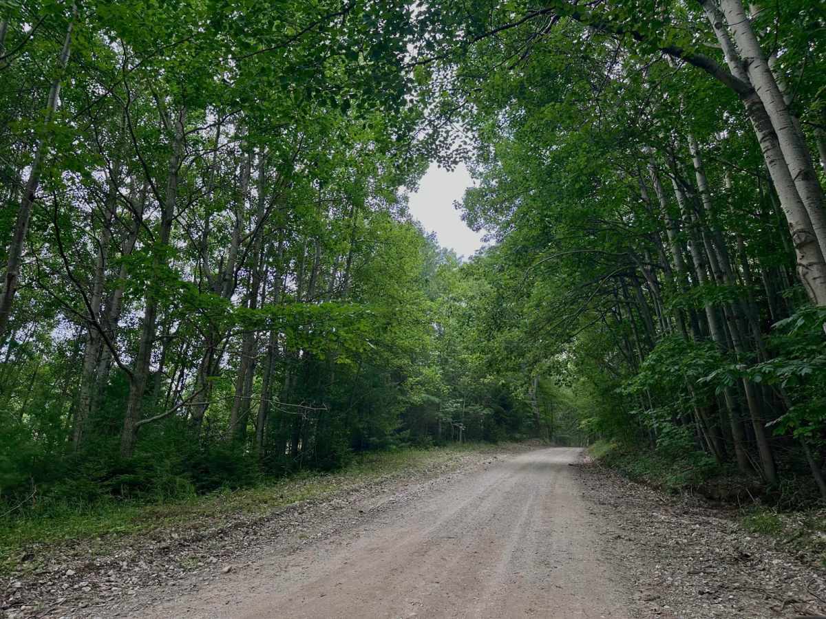
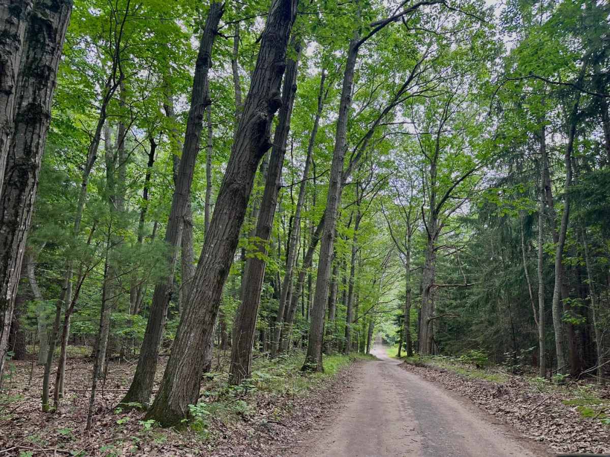
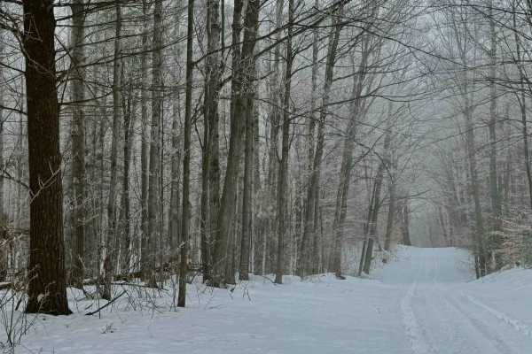
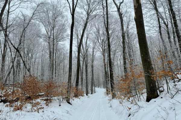
South Thoreson Road offers incredible views of what this national lakeshore has to offer. From Great Lakes views to wooded forests and rolling farmlands. This route is accessible for all vehicles. The road is well-graded but can be quite dusty. The north end of the trail is two vehicles wide while the south end is tighter with places to pass and there are some steeper grades. At the start of the trail on the south end there are a few spots where hiking trails cross the route so please be courtesy of other adventurers. Along the north end, there is a parking lot with a capacity for 20 or so vehicles for Bayview hiking trails. Thoreson Road was named after John Thoreson who bought the surrounding land in 1901 and ran a farm until it was sold by his son in 1958 to Arthur Huey who later sold it to the National Parks Service in 1979. There are park signs to designate certain barns and homesteads along the route.
History
Thoreson Road was named after John Thoreson who bought the surrounding land in 1901 and ran a farm until it was sold by his son in 1958 to Arthur Huey who later sold it to the National Parks Service in 1979. There are park signs to designate certain barns and homesteads along the route.