South Branch Pine River

Total Miles2.2
Technical Rating
2Easy
Best TimeSpring, Summer, Fall, Winter
Trail TypeFull-Width Road
Accessible By
Open Trail Map

Trail Overview

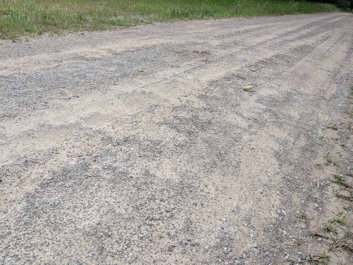
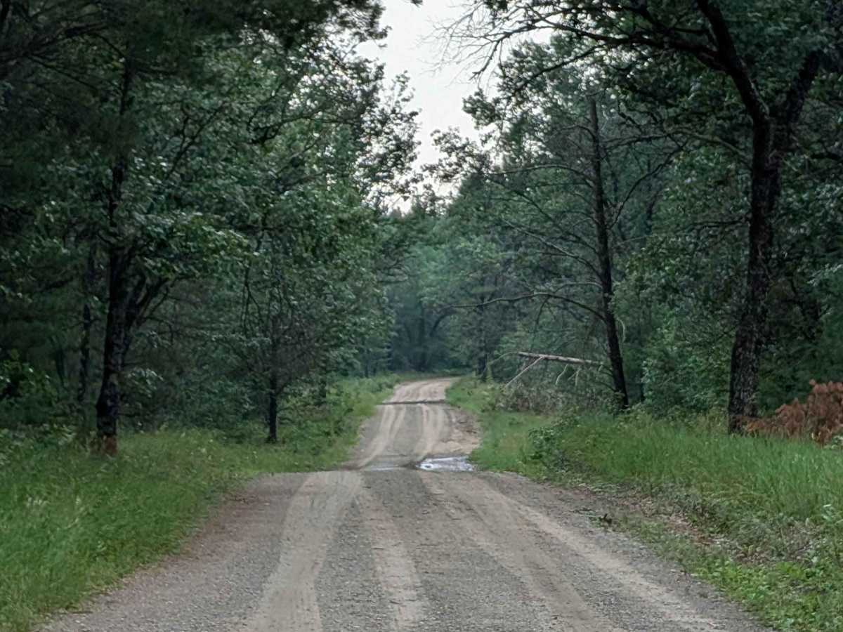
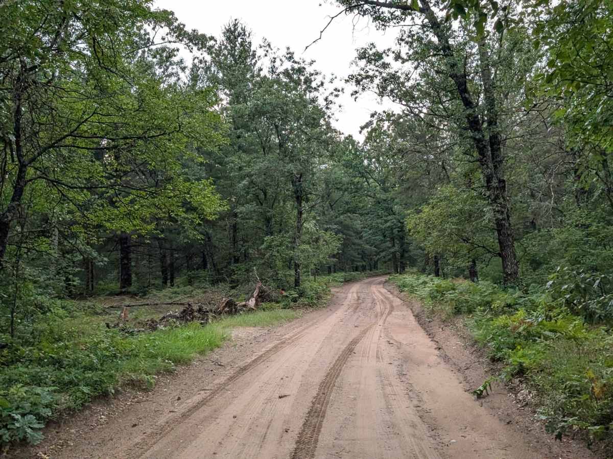
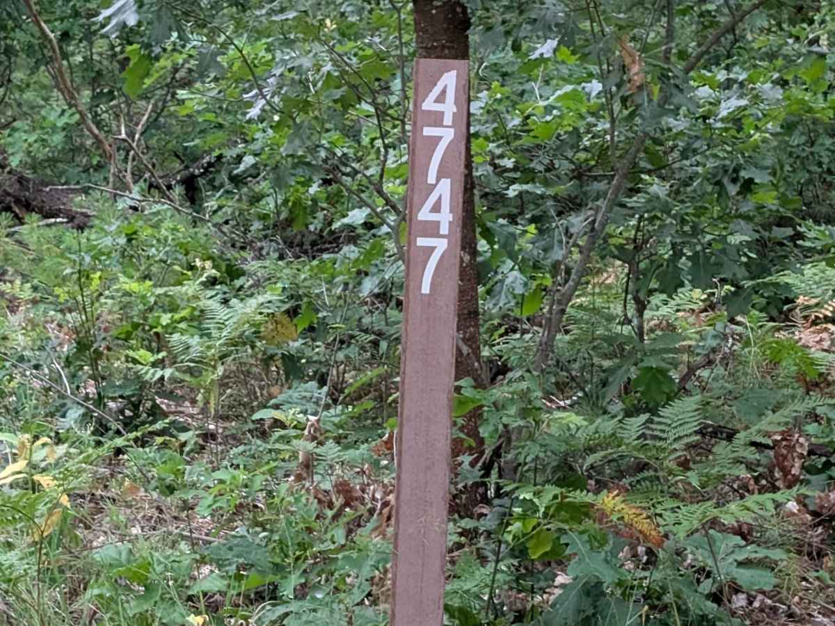
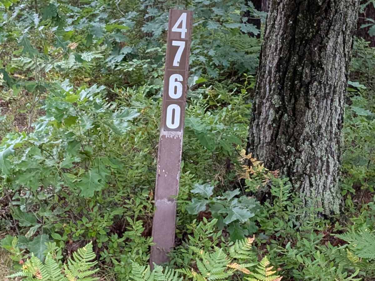
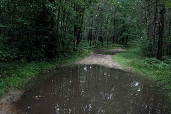
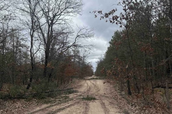
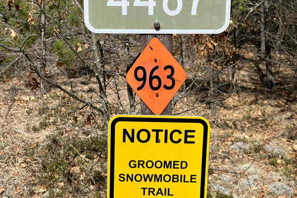
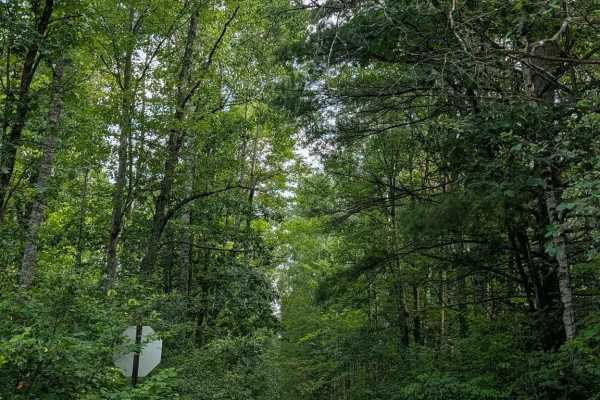
This dead end trail starts on Mikado Glennie Road and ends at a large elevation drop in the Huron National Forest. The FS 4747 portion is a wide open track that leads back to a few personal properties. After entering the FS 4760 portion, the trail continues to narrow to a point that it mimmicks a 50 inch off-road vehicle trail. Along the way you will be on a Ridgeline and see a large elevation drop to your left. The terrain for this Trail is grass, dirt, & sand. The trail itself has a few small elevation changes & dispersed camp spots.

Photos of South Branch Pine River

Difficulty

Dirt, sand, and grass bse with some elevation changes.

Technical Rating

2

South Branch Pine River Trail can be accessed by the following ride types:

  • Single Track
  • 50 Inch
  • 60 Inch
  • High Clearance
  • Full Width

South Branch Pine River Map

The onX Offroad Difference

onX Offroad combines trail photos, descriptions, difficulty ratings, width restrictions, seasonality, and more in a user-friendly interface. Available on all devices, with offline access and full compatibility with CarPlay and Android Auto. Discover what you're missing today!

Open Trail Map