Trail Overview
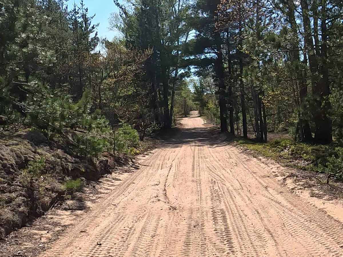
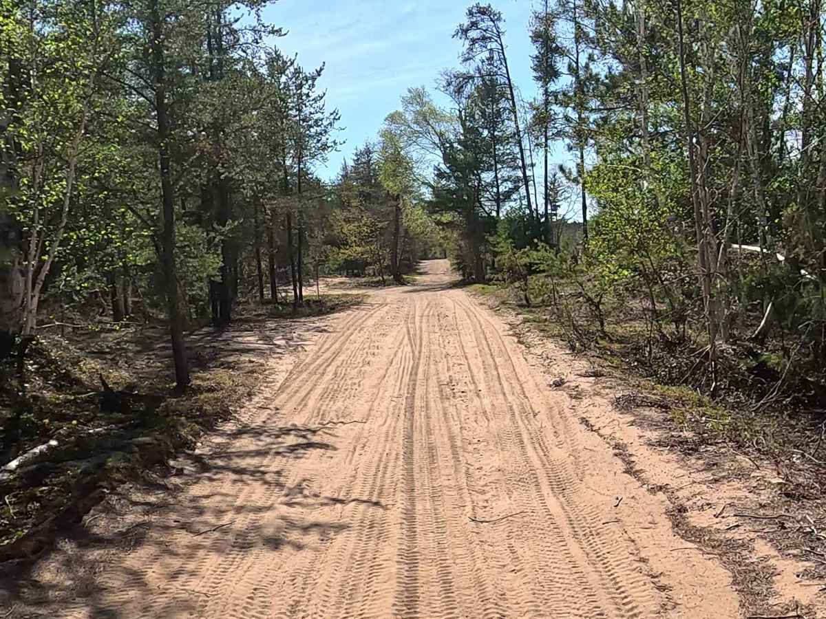
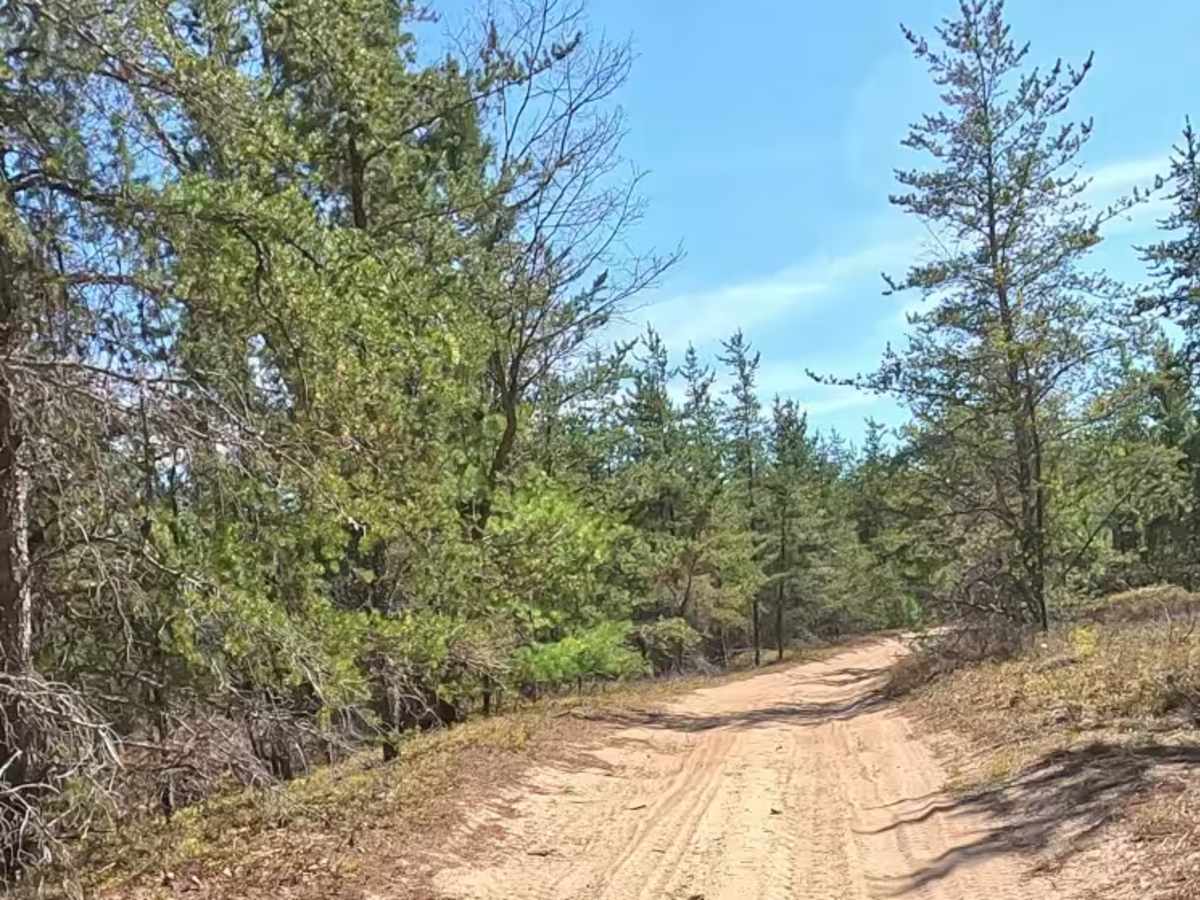
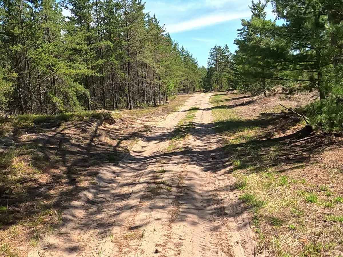
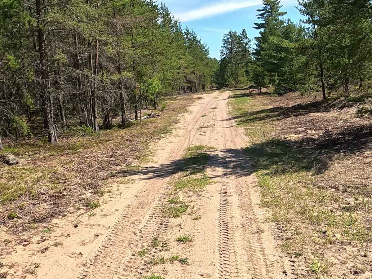
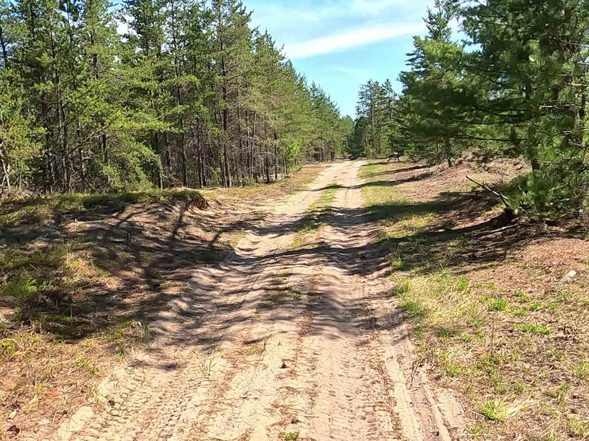
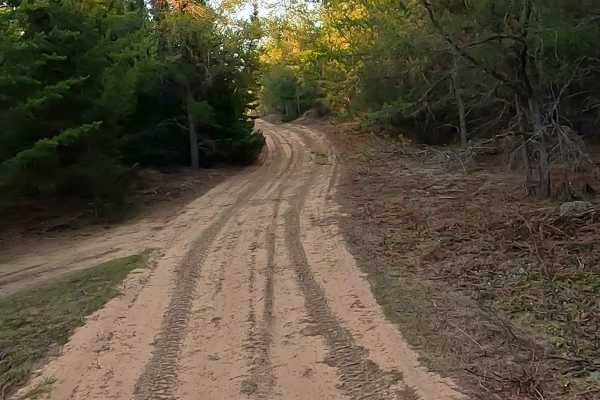
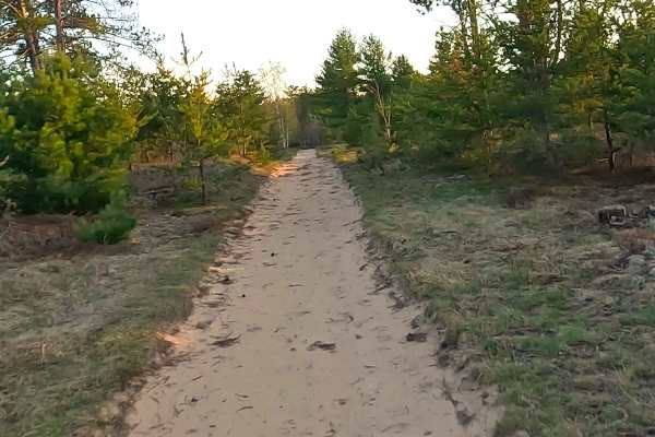
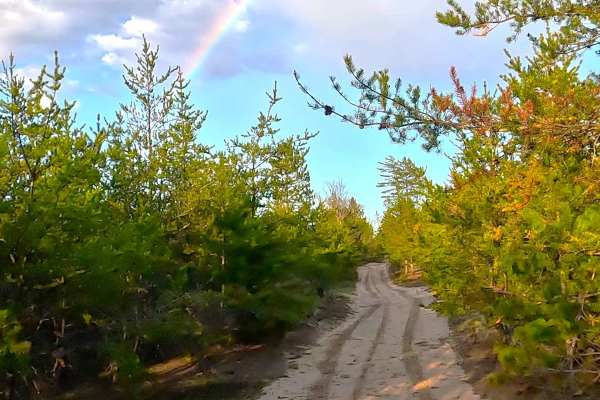
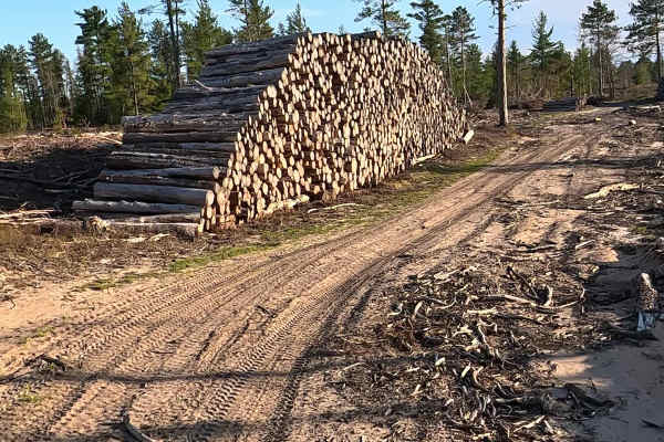
Shelldrake Pass is a state-owned/ locally maintained, Level-2/ Level-3, forest access route with a surface composition of sand, dirt, and native material. It offers access to forested "Two-Tracks" and hiking paths within the deep wilderness of the Shelldrake Lake and the Shelldrake watershed. It was once a spur of W East Gate Road.
Difficulty
Sand, dirt, gravel route typically unmaintained after rain or snow that may give rise to water crossings < 12” and obstacles such as trees/tree branches.
History
Shelldrake takes its name from the Ojibwa word Anzigo-ziibi, which refers to the merganser (or sawbill) duck. Long before European settlement, the area was a seasonal Native American fishing village and a waypoint to Vermilion Point, where tribes gathered red ochre for paint. Originally a Native American fishing village, it later boomed into a bustling, modern logging community in the late 19th century. Today, it is a privately owned site with only a few weathered buildings remaining.