Trail Overview
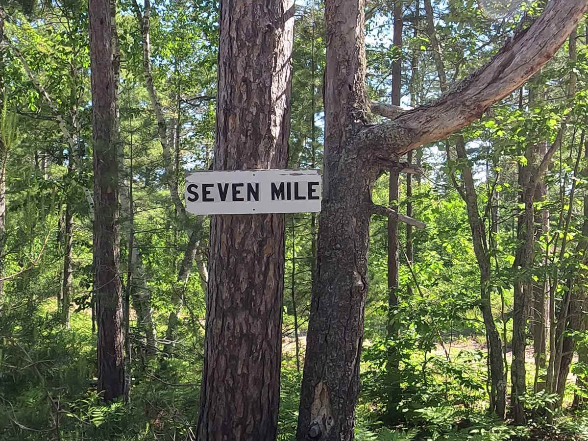
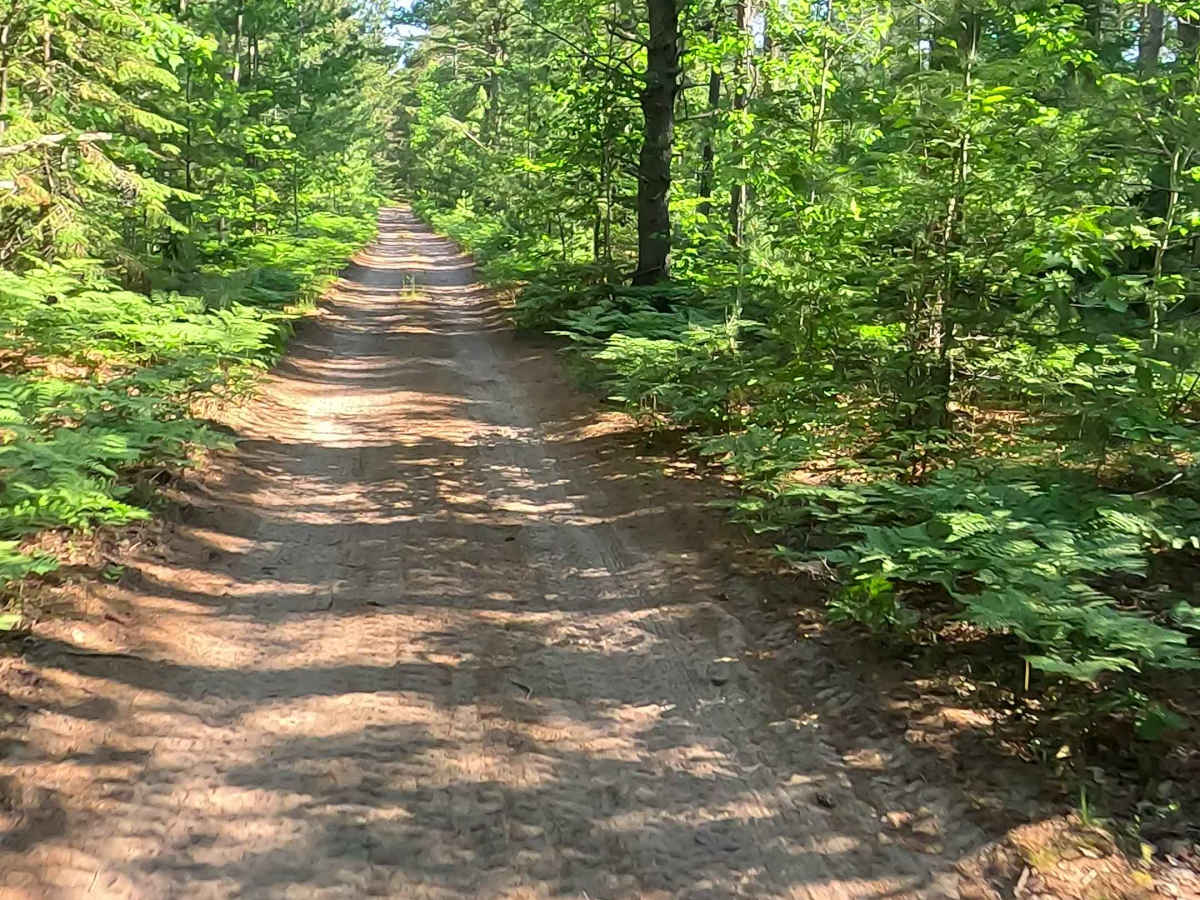
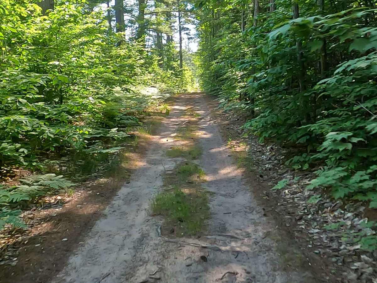
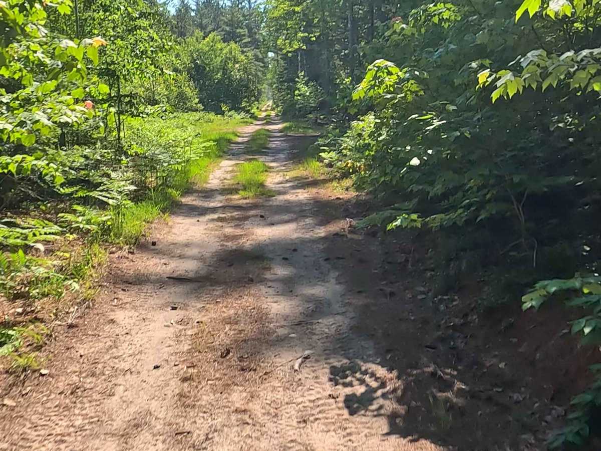
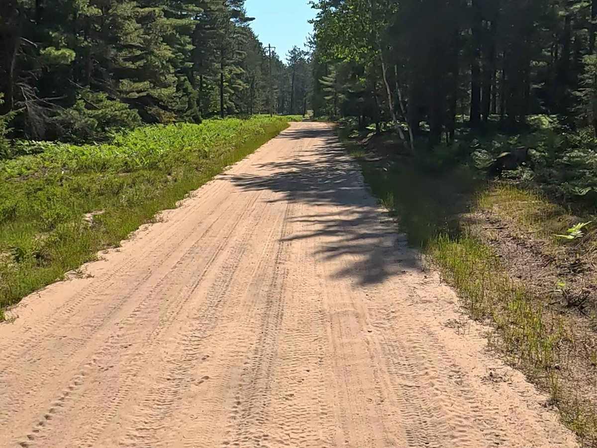
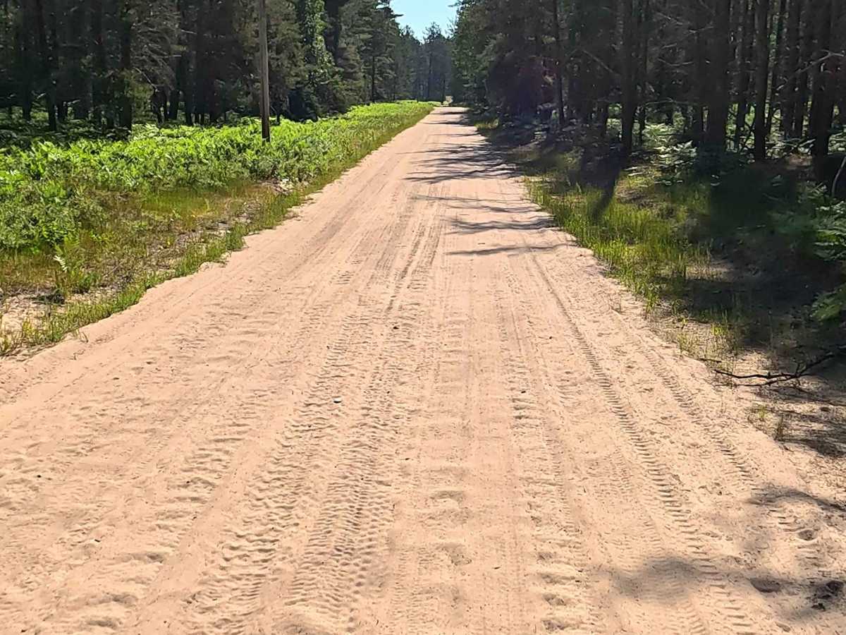
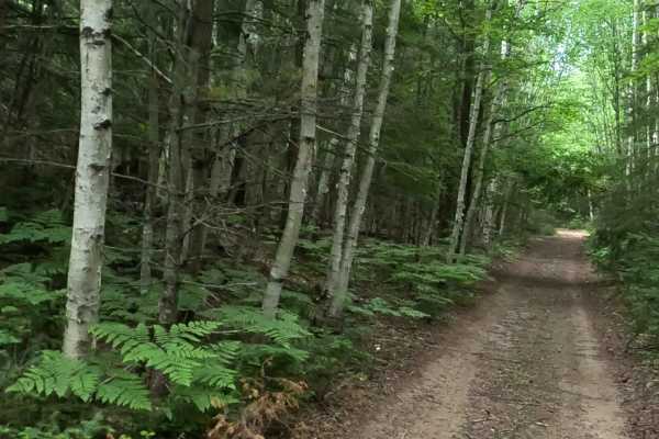
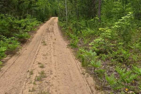
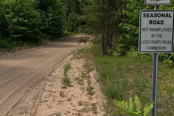
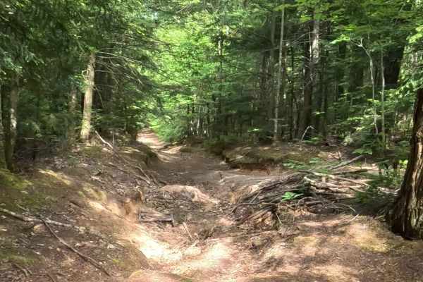
Seven Mile Fire Lane (State Forest Road 1067), also known as 7 Mile Fire Lane East, is a state owned/ locally maintained, Level-2/ Level-3, DNR Road Open to ORVs with a surface composition of sand, dirt, and native material (ex: leaves, pine needles, pine cones, sticks, branches and rocks). This route offers access to forested "Two-Tracks", Hiking and Equestrian trails within the deep wilderness south of Muskallong Lake and between Blind Sucker Flooding and the Two Hearted River. Seven Mile Fire Lane acts as a dual-purpose infrastructure corridor. While the Michigan DNR maintains it for wildfire control and logging access, it is heavily integrated into the Upper Peninsula's tourism economy. It directly intersects with Snowmobile Trail 8 and the Two Heart ATV Trail, transforming a historic emergency route into a primary thoroughfare for off-road recreation.
Difficulty
Sand, dirt, gravel route typically unmaintained after rain or snow that may give rise to water crossings over 12 inches and obstacles such as trees/tree branches and river overflow crossings.
History
Compartment 25 of the Newberry Forest Management Area, situated within the high-risk Two Hearted Zone Dispatch Area. Because the terrain is dominated by highly flammable mixed jack pine types and expansive, impassable peat swamps, the road was historically carved out as a "fire lane"—a defensive barrier and access route for wildland firefighting equipment. Long before it was utilized for modern fire apparatus, the surrounding network of paths began as early 20th-century logging trails. Newberry rose to prominence as an industrial lumber and charcoal iron town. Once the primary white pine boom era cooled, the land transitioned to state-managed forests.

 Offroad