Schaaf Lake Road South

Total Miles2.4
Technical Rating
2Easy
Best TimeSpring, Summer, Fall
Trail TypeFull-Width Road
Accessible By
Open Trail Map

Trail Overview

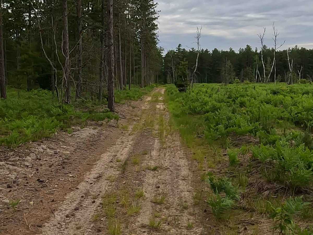
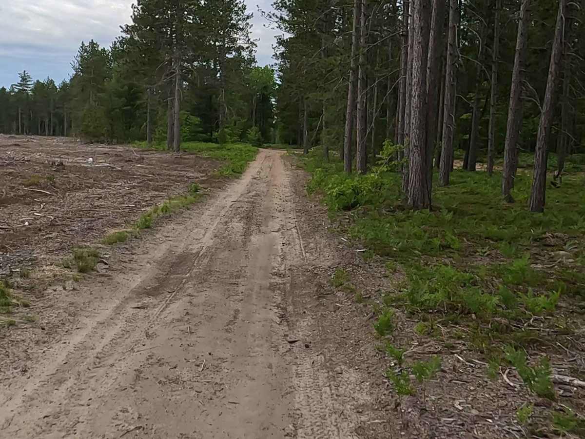
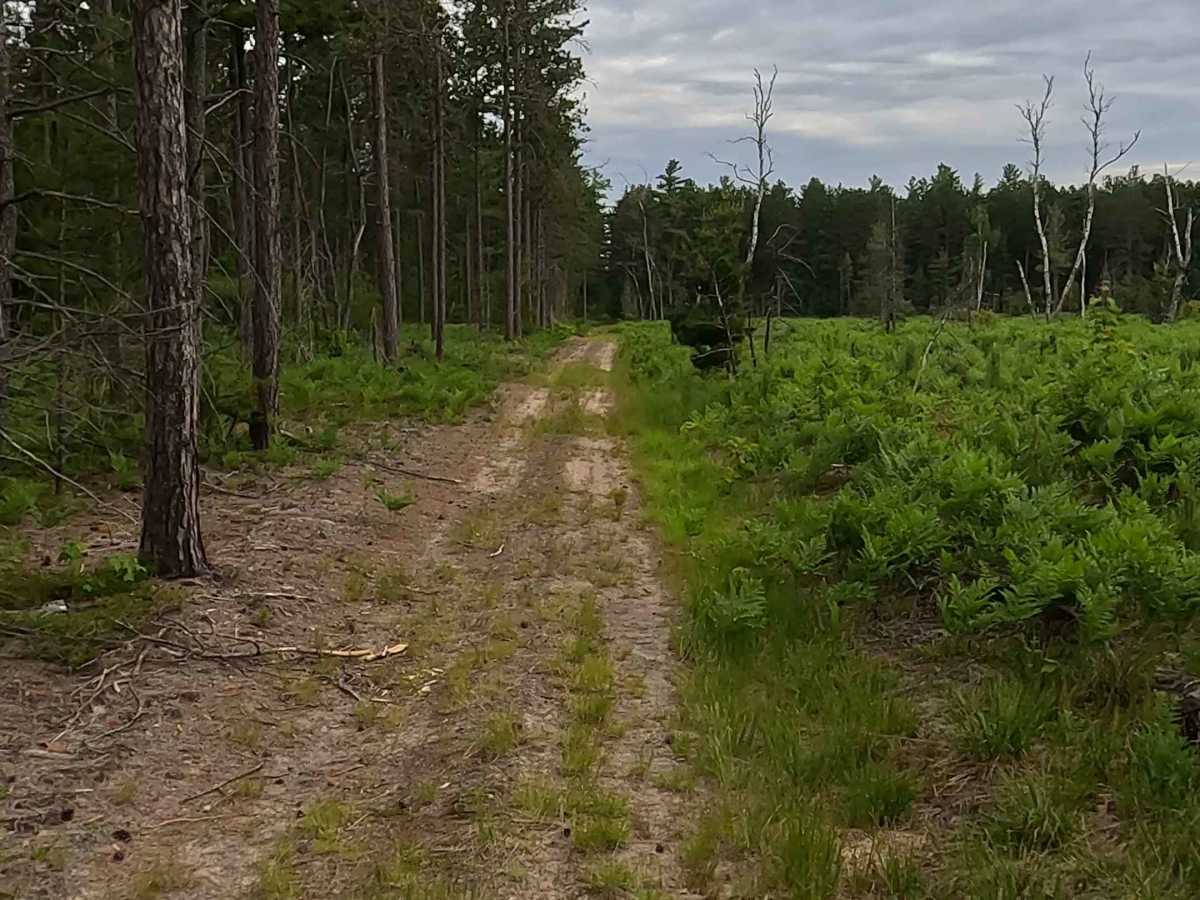
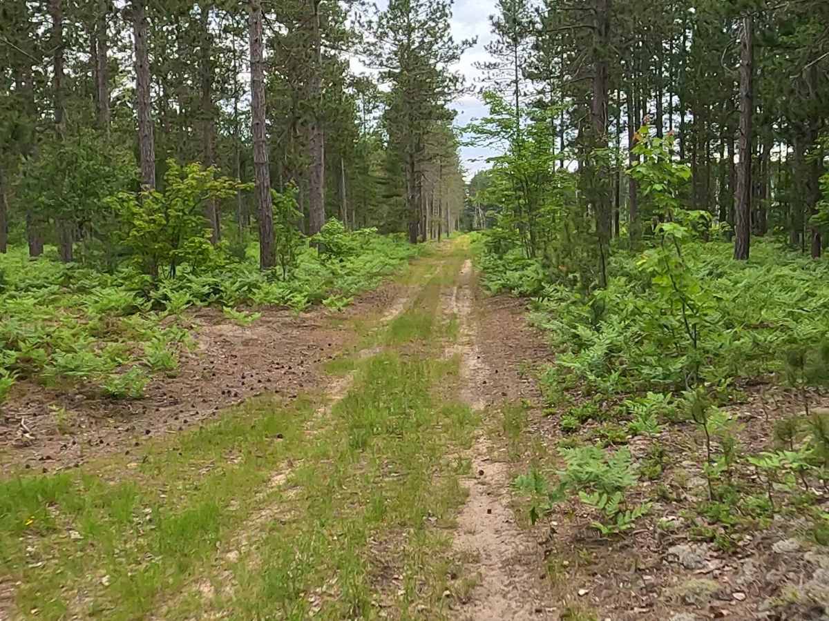
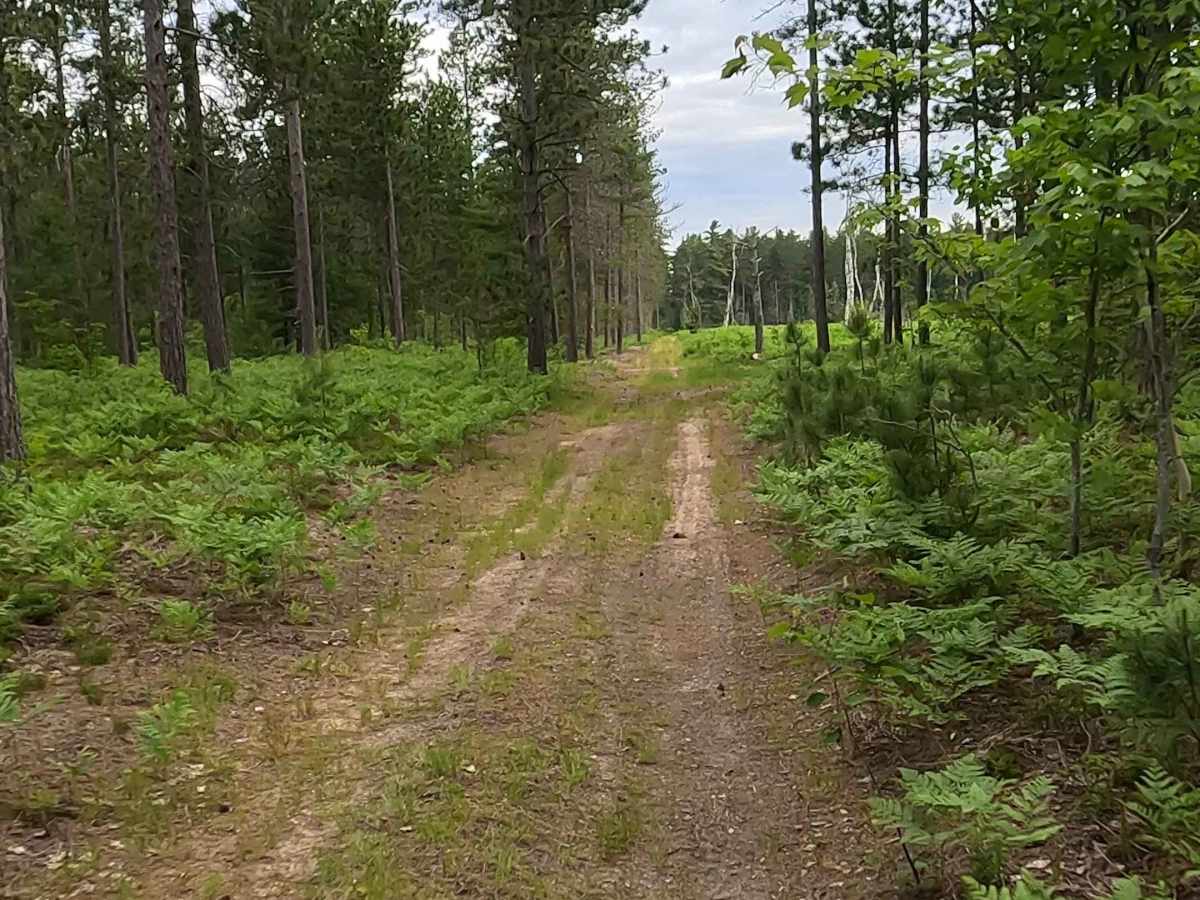
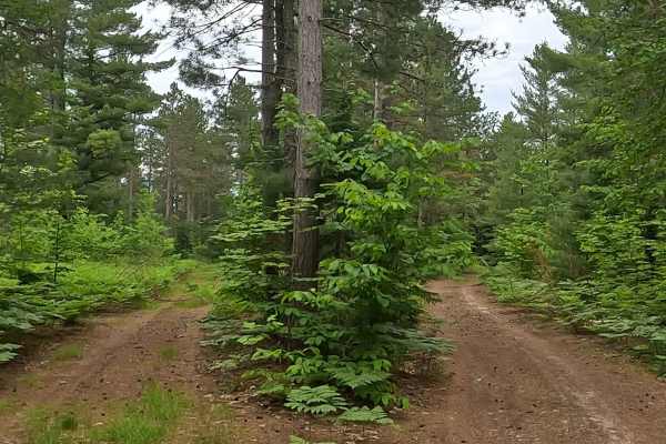
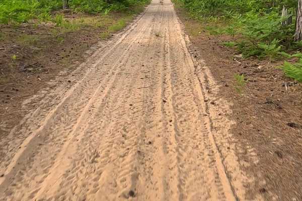
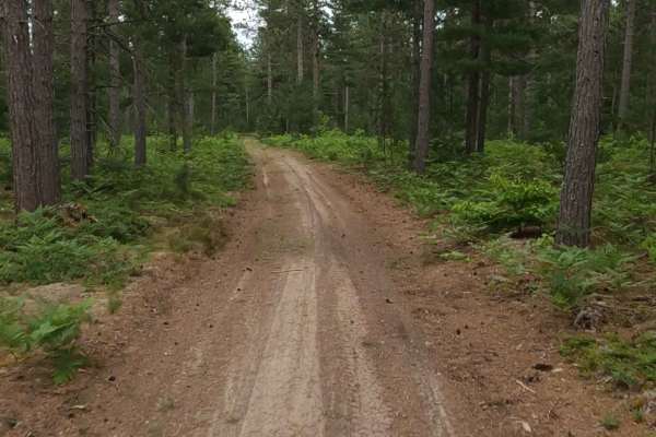
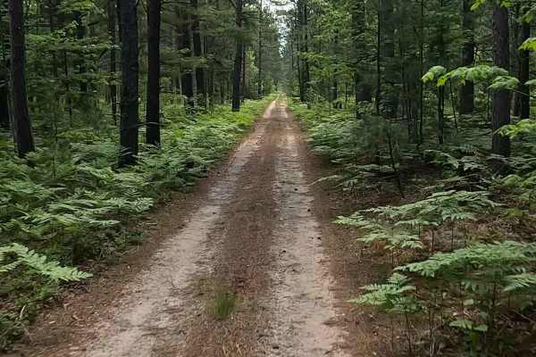
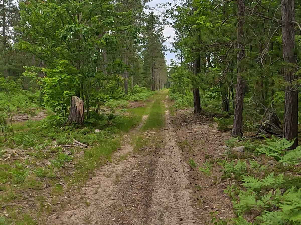
Schaaf Lake Road South is a state owned/ locally maintained, Level-2/ Level-3, DNR Road Open to ORVs and equestrian rigs with a surface composition of sand, dirt and native material (ex: leaves, pine needles, pine cones, sticks, branches and rocks). This route offers access to forested "Two-Tracks", Hiking and Equestrian trails within the deep wilderness south of Muskallong Lake and between Blind Sucker Flooding and the Two Hearted River. Acting as a dual-purpose infrastructure corridor. While the Michigan DNR maintains it for wildfire control and logging access, it is heavily integrated into the Upper Peninsula's tourism economy. Transforming a historic emergency route into a primary thoroughfare for off-road recreation.

Photos of Schaaf Lake Road South

Difficulty

Sand, dirt, gravel route typically unmaintained after rain or snow that may give rise to water crossings under 12 inches and obstacles such as trees/tree branches and river overflow crossings.

Technical Rating

2

Schaaf Lake Road South Trail can be accessed by the following ride types:

  • Single Track
  • 50 Inch
  • 60 Inch
  • High Clearance
  • Full Width

Schaaf Lake Road South Map

The onX Offroad Difference

onX Offroad combines trail photos, descriptions, difficulty ratings, width restrictions, seasonality, and more in a user-friendly interface. Available on all devices, with offline access and full compatibility with CarPlay and Android Auto. Discover what you're missing today!

Open Trail Map