Trail Overview
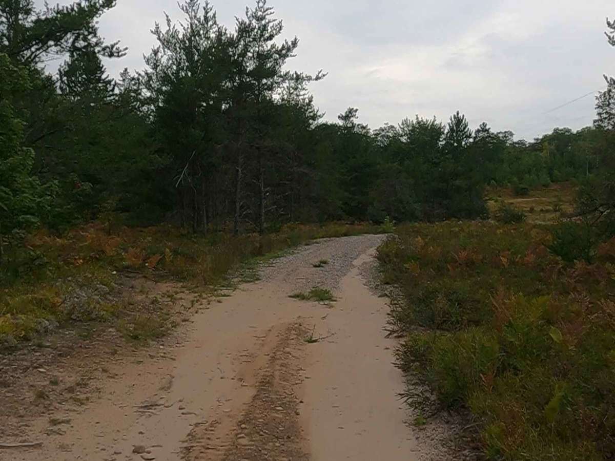
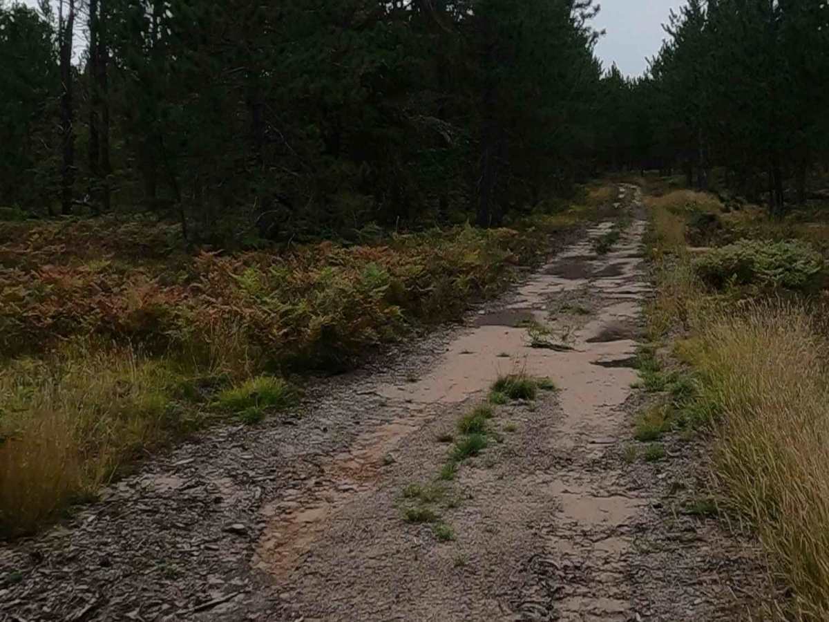
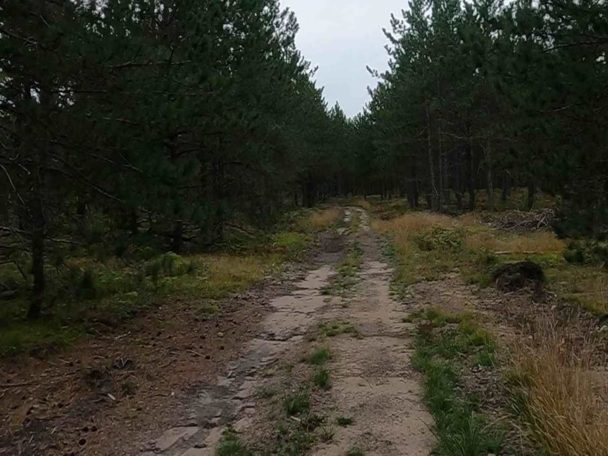
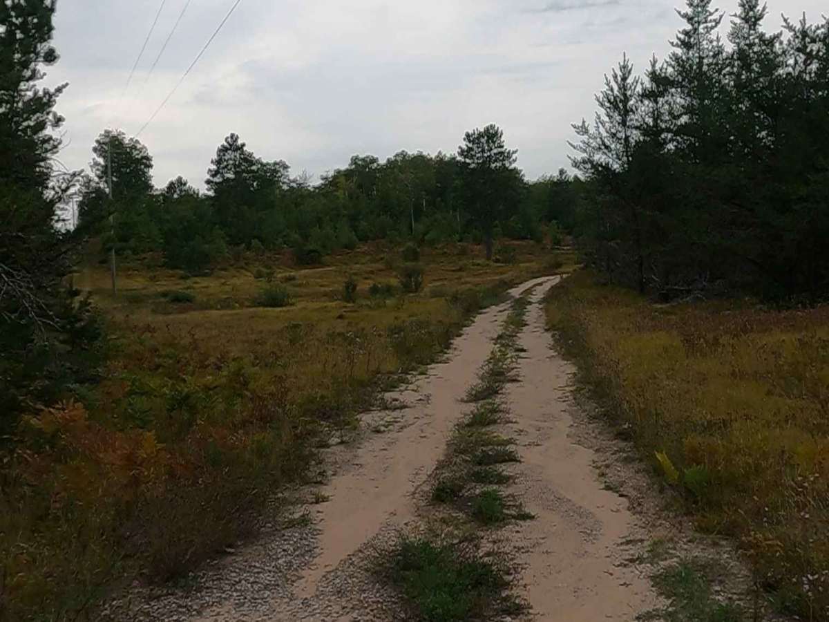
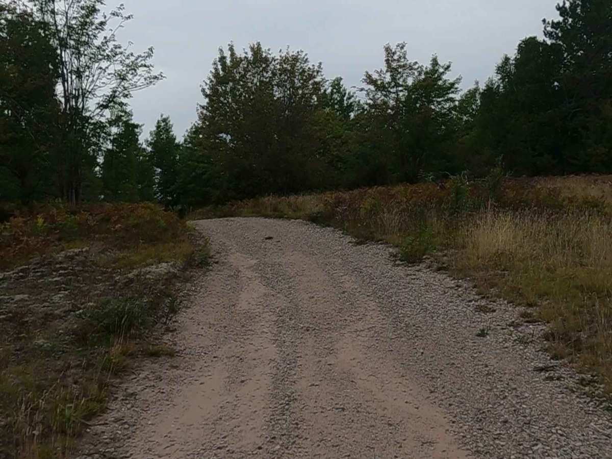
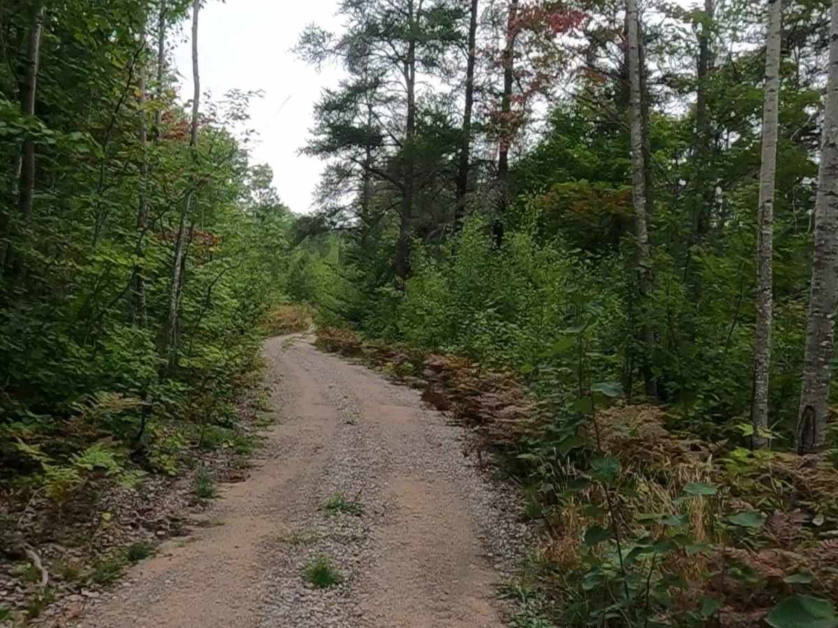
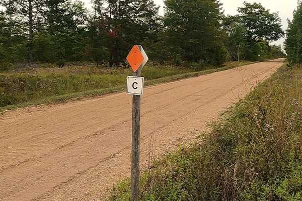
Federal Forest Service Road 3697, also known as Sandhill, is a federally owned/ locally maintained, Level-2/ Level-3 forest road with a surface composition of dirt, sand, gravel, and native material. This route is currently open and in fair condition; it is not a DNR road (ORV use is subject to local government regulations) and connects FS 3626/ 3626A (near M-28) to FS 3364 "Dishpan". Description created on September 10, 2025.
Difficulty
Dirt, gravel, sandy road, typically unmaintained after rain or snow, that may give rise to shallow water crossings and obstacles under 12 inches on the trail, including small ledges. This road is typically one to two vehicles in width, with some portions narrowing down to a "Two Track" road.
History
The town of Eckerman was founded by a logger by the last name “Eckermann” in 1889. A post office was to open that same year, but the man who was supposed to be postmaster was never commissioned, so it took two more years before it opened. When it finally did in 1891, it doubled as a train station along the Duluth, South Shore & Atlantic Railway. Frank Bussette did double duty as both postmaster and railroad station agent. In 1900, the last “n” was dropped from the name, and from then on, it was 'Eckerman'. Raco, Michigan, originated as an 1887 sawmill settlement named after the Richardson and Avery Company. It is best known for hosting Camp Raco (1933), the U.P.'s first Civilian Conservation Corps (CCC) site, which later became a World War II German POW camp. Today, it is known for the decommissioned Raco Army Airfield, now a cold-weather testing site.