Trail Overview
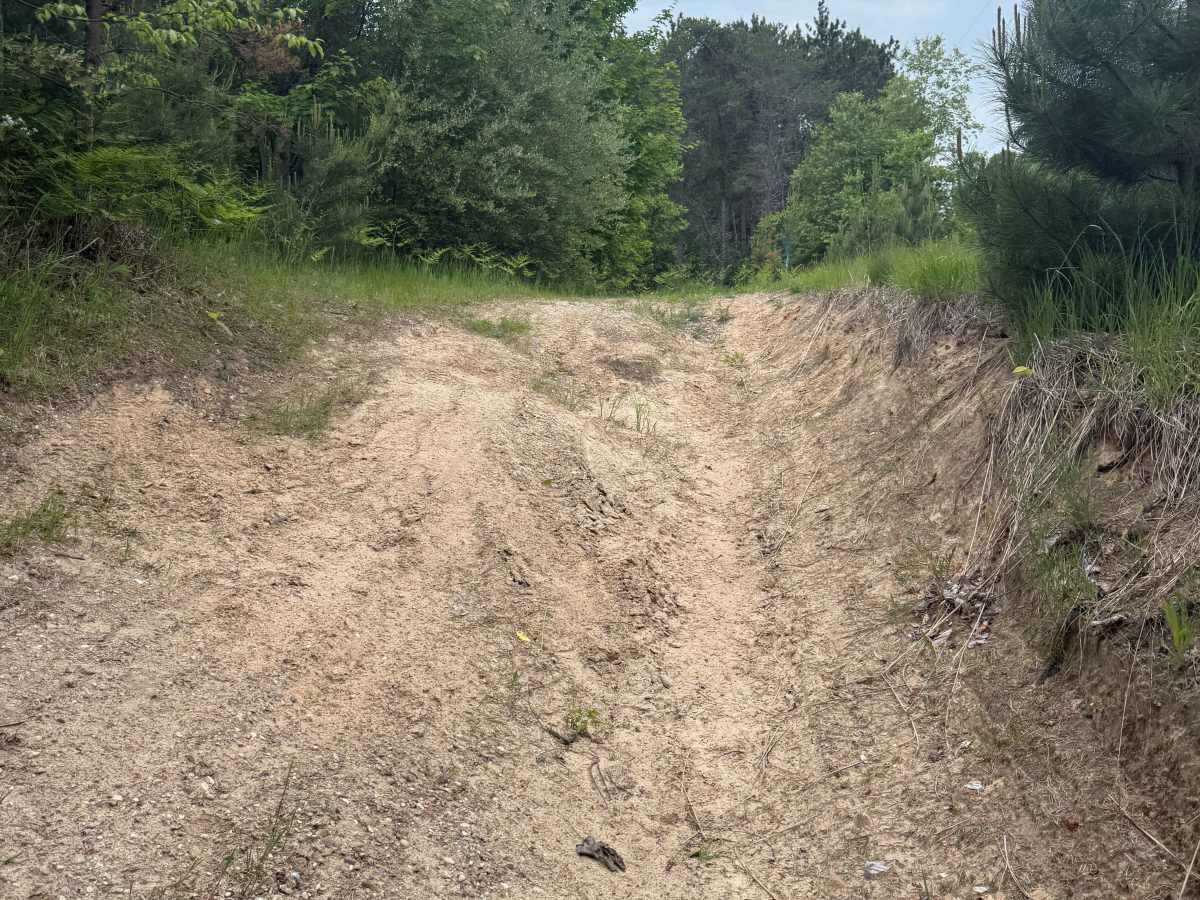
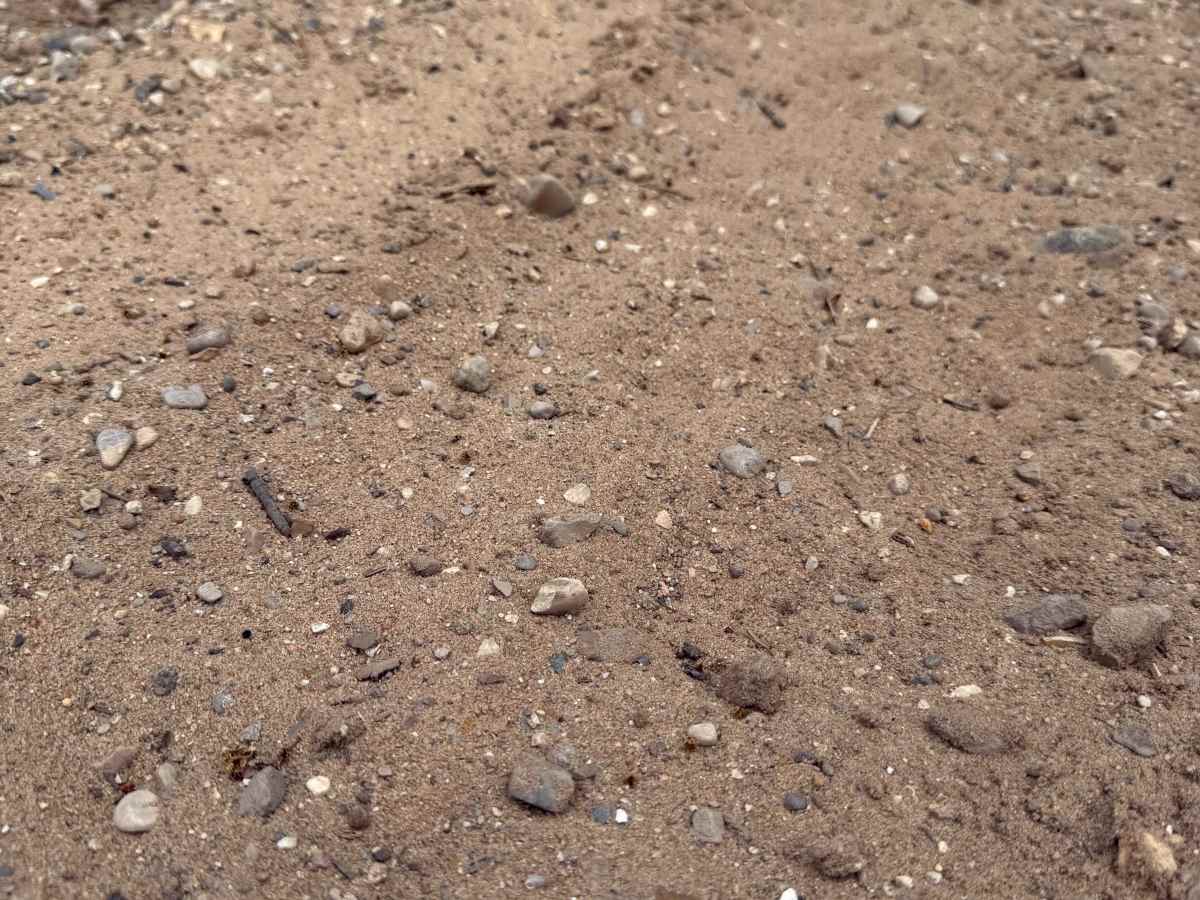
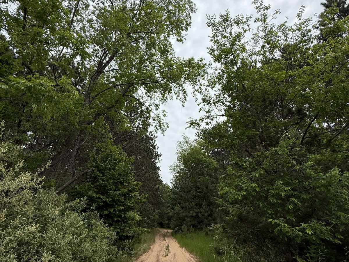
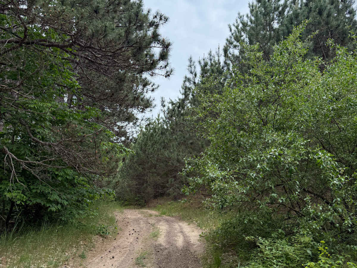
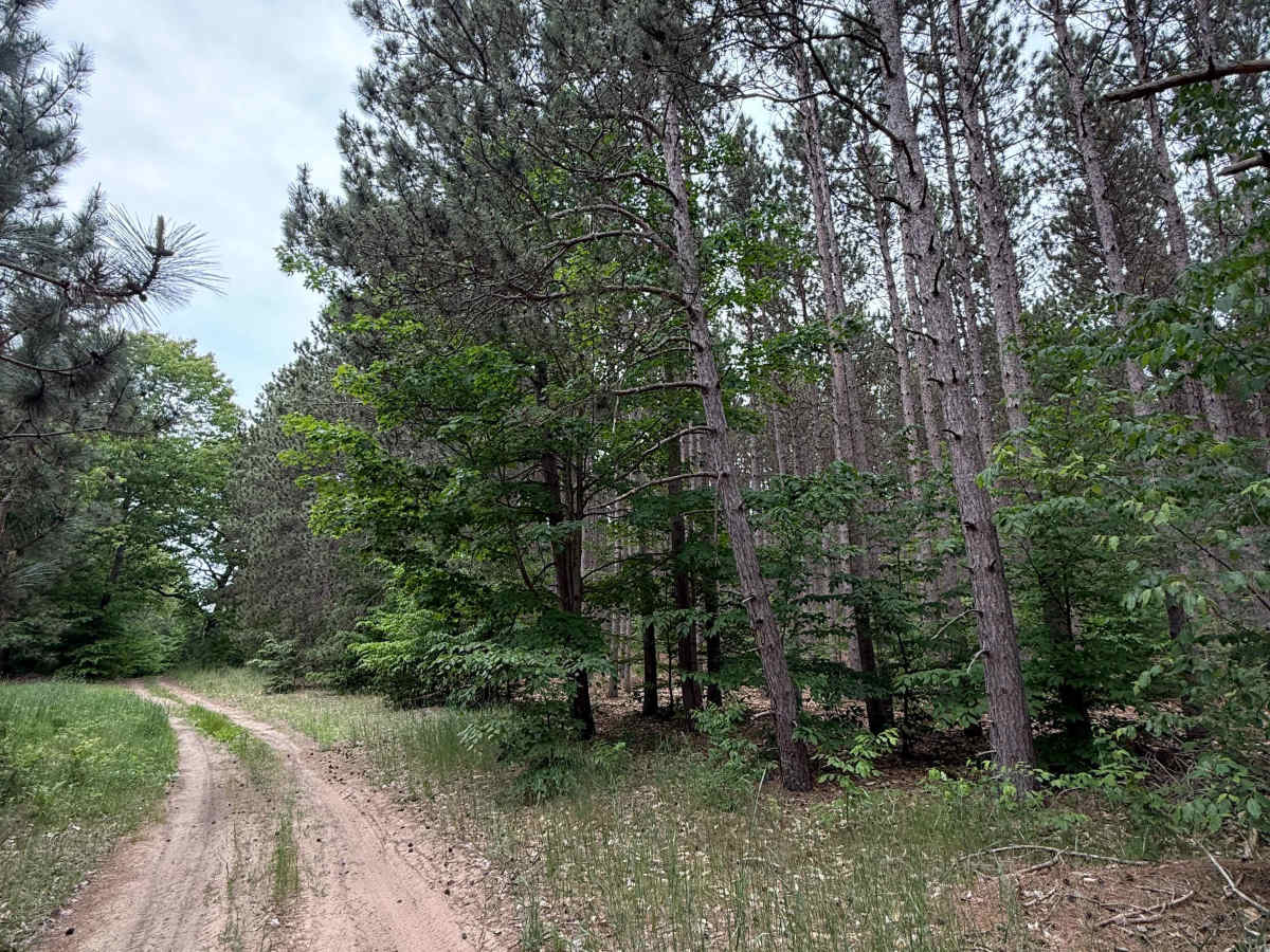
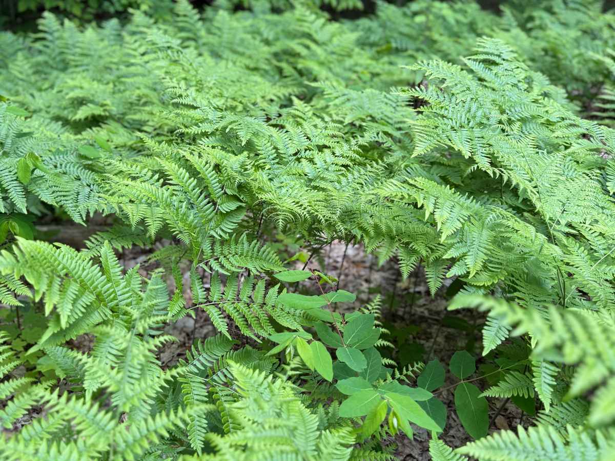
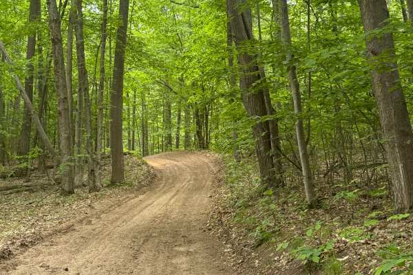
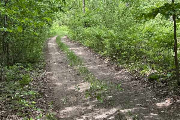
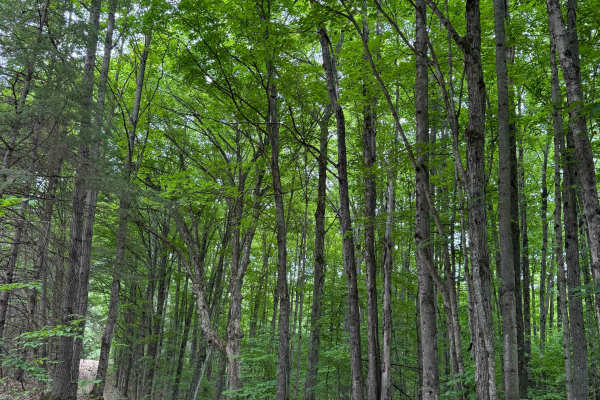
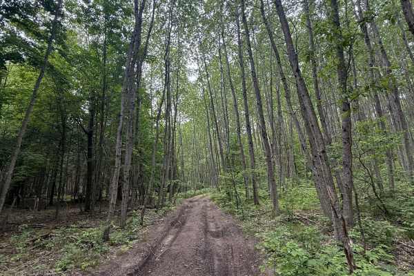
Samels Trail is a classical Michigan bidirectional two-track loop trail within the Traverse City Forest Management Unit. Located off Samels Road, just less than 2 miles south of highway M-72 and Williamsburg, makes this track easily accessible. Starting from the southern end, you'll start on a dirt and sandy track in a beautiful section of pine trees. Shortly into the route, the trail moves into a thick section of the forest with lush vegetation all around. As you navigate down the trail, you'll twist and turn as you change in elevation. Be sure to take all the beauty in. Also, keep your eyes open for wildlife! The 1.1-mile marker brings a washout ditch that will test the articulation of your suspension. It's not challenging, but noteworthy, and it has a rating of 3. This trail is sure to keep you entertained. Like most of Michigan's off-road trails, conditions are dependent on the weather. Recent rainfall can cause unfavorable conditions on the trail, including downed trees, mud holes, and washouts. Come Prepared! Most of this trail is only wide enough for 1 vehicle, with limited places to pass. This is not a difficult trail at all, but it contains a lot of beauty and excitement. This trail also gives access to other great trails nearby. The northern end of the trail loops back out to Samels Road. Regardless of the conditions of this track, it's an amazing trail to check out! As always, PLEASE TREAD LIGHTLY and be respectful of our public lands so future generations can have access to these trails!