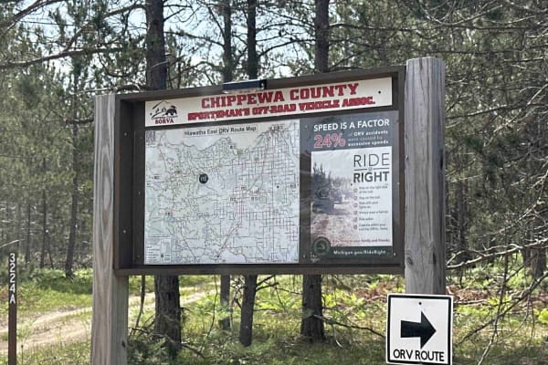
Trail Overview
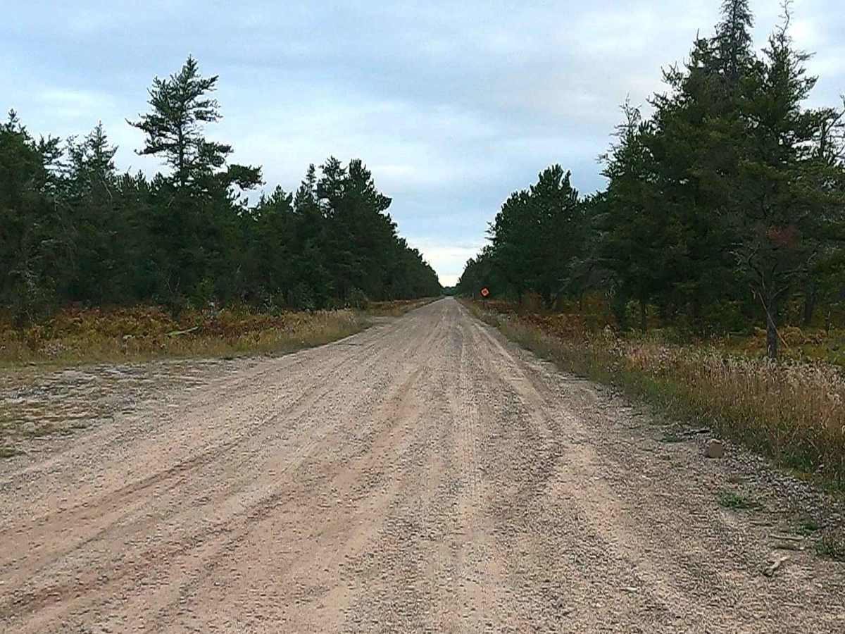
Federal Forest Service Road 3157, also known as Rexford, is a federally owned/ locally maintained, Level-2/ Level-3 forest road with a surface composition of dirt, sand, gravel, and native material. This route is currently open and in fair condition; it is not a DNR road (ORV use is subject to local government regulations) and connects Michigan Route 28 to FS 3019, FS 3220, FS 3364, FS 3208, FS 3036, FS 3366, FS 3157D, FS 3406, FS 3156, and West Lakeshore Drive. Description created on September 11, 2025.
Difficulty
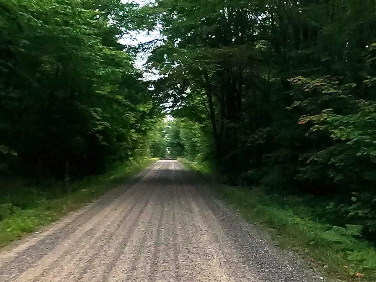
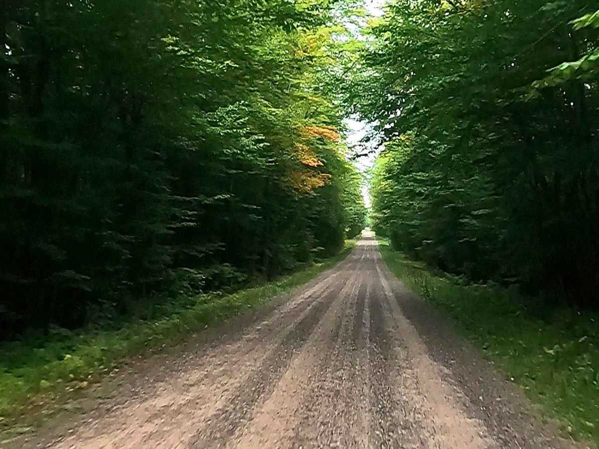
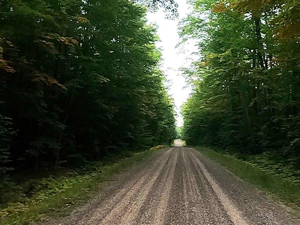
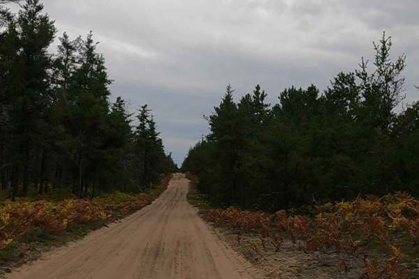
Dirt, gravel, and sand road with gentle grades. Safe for most 4WD and high-clearance 2WD vehicles. This road is typically two vehicles wide.
History
Rexford Road is a primary access route in north-central Chippewa County, Michigan, serving the remote Pendills Creek and Pendills Lake area near Lake Superior. The road provides access to the 1948 federal hatchery system, which is critical for lake trout rehabilitation. Rexford Road is located near the former "whistle stop" of Raco on Michigan Route 28 and provides access to the area along with Dollar Settlement Road and Lakeshore Drive. Pendills Creek Area: The road runs through a region characterized by cedar swamps and sandy ridges, leading to the Pendills Lake area.