Trail Overview
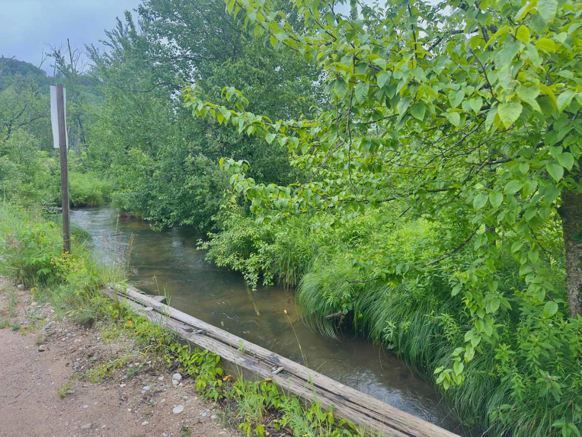
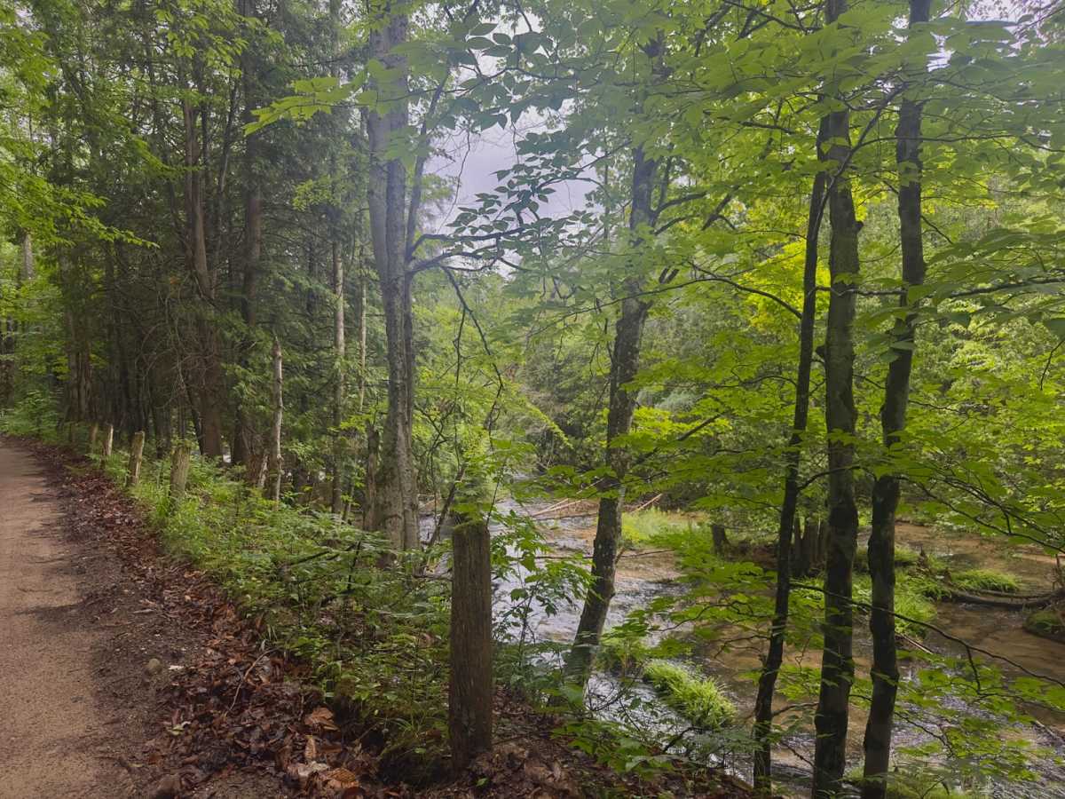
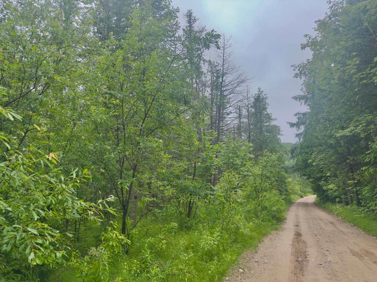
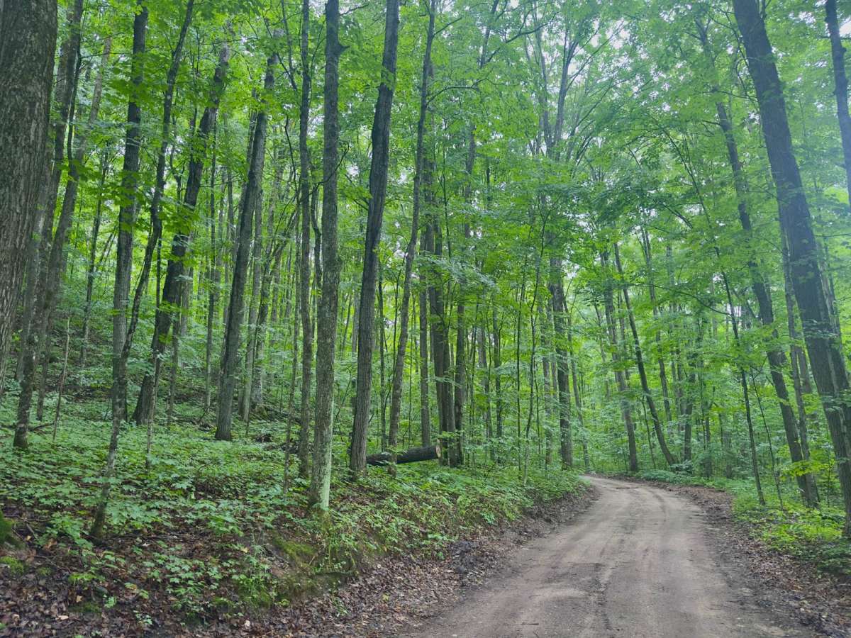
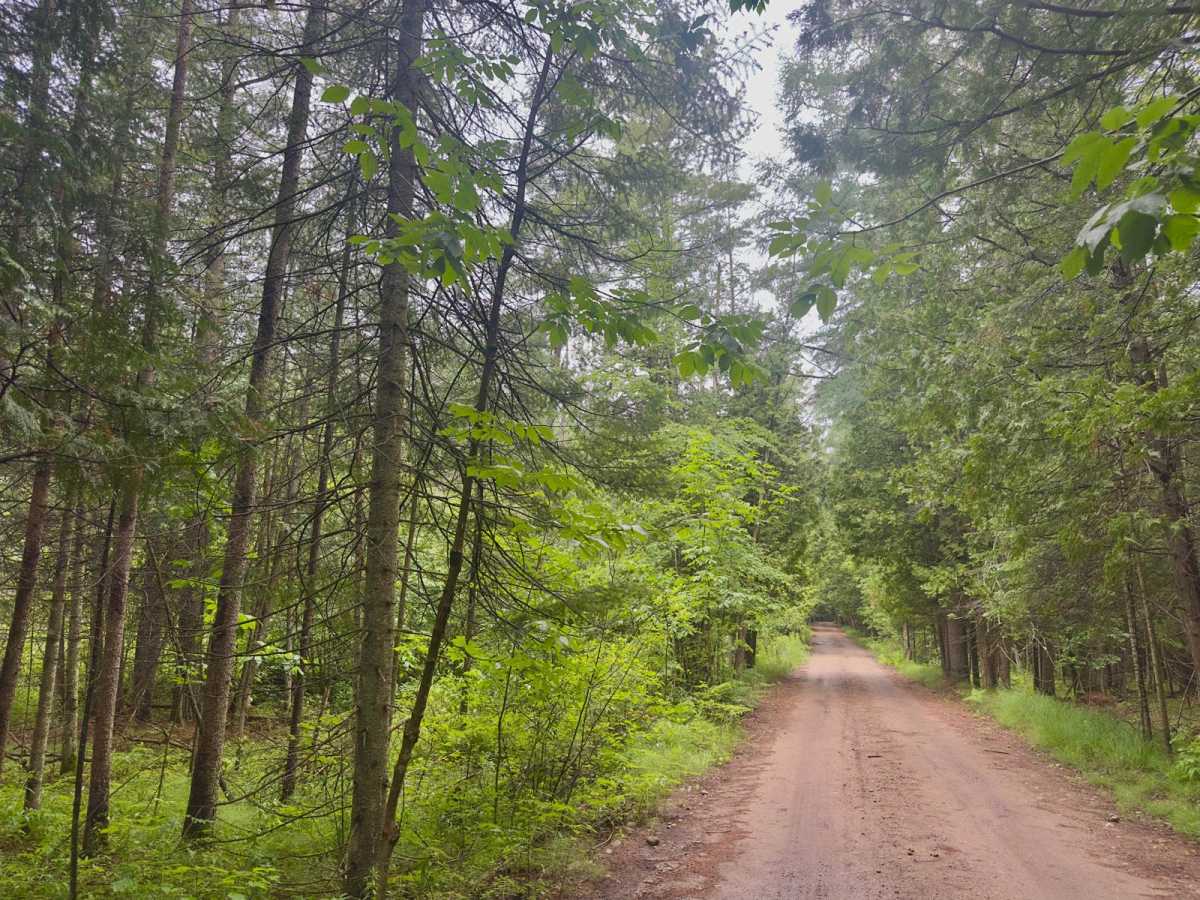
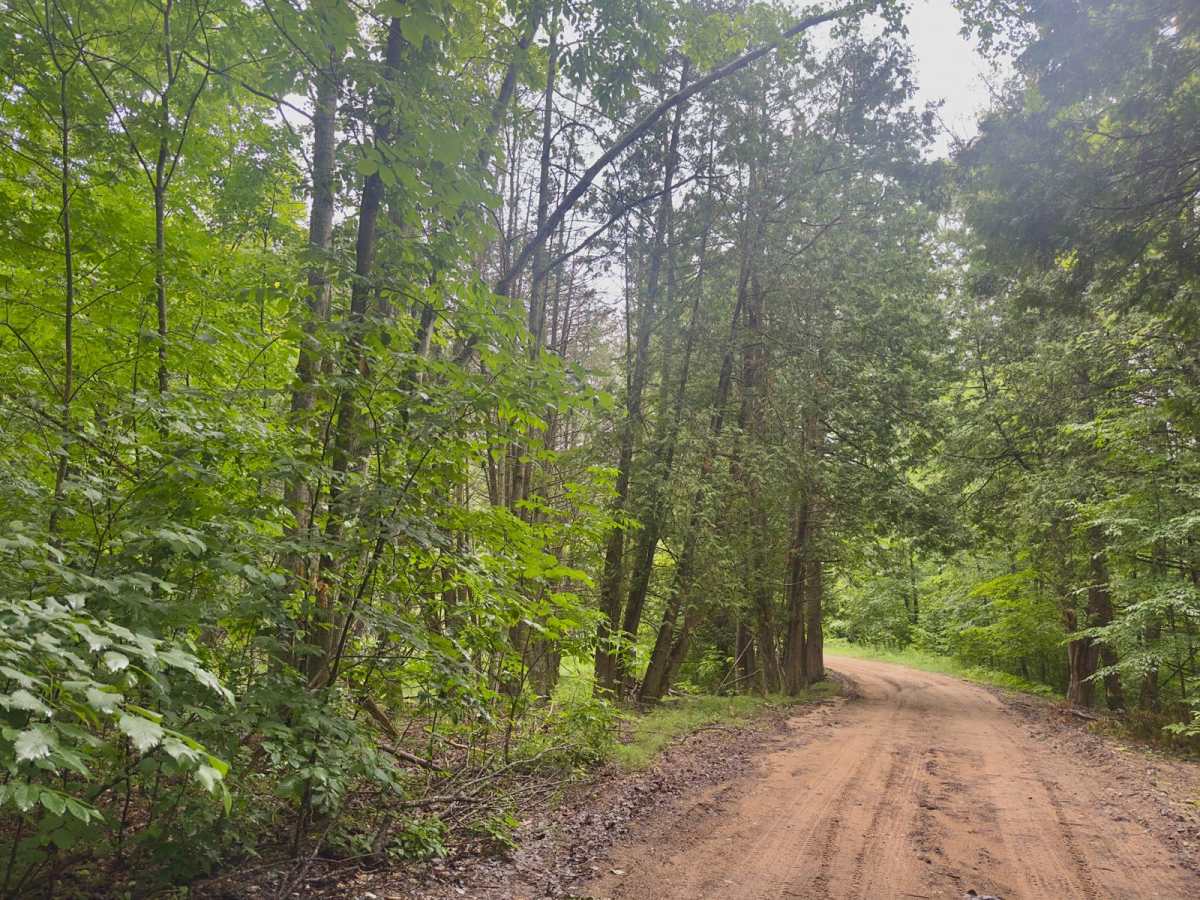
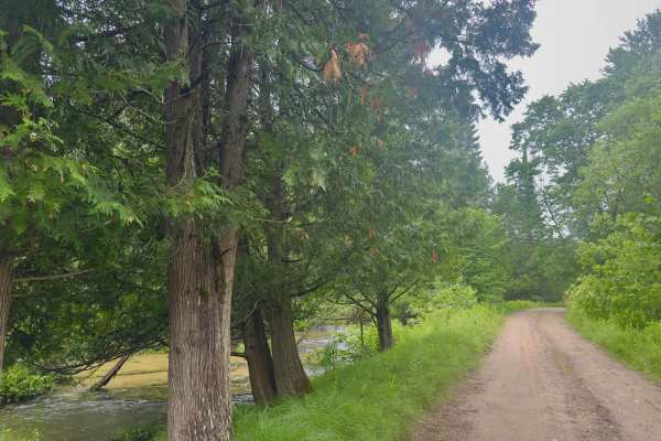
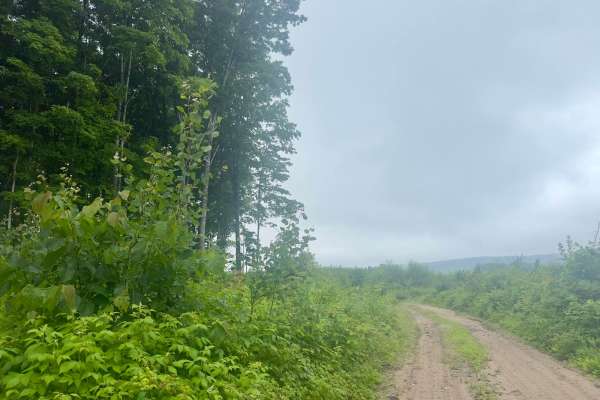
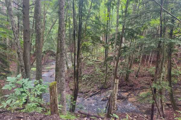
This trail is a dirt base that is one vehicle wide with places to pass. On one side, you will have beautiful dense forest, and on the other, you'll see the Jordan River wind through the woods next to you. This route can be traveled by any type of rig. Cell service is spotty, so offline maps would be helpful. Keep your eye out for some of the area's wildlife, including. Beavers, Black bears, Deer, Muskrat, fox, coyotes, rabbit, bobcat, mink, and many other animals call this valley home. There are also many different bird Species, including Grouse and woodcock. Many different kinds of ducks, owls, and even Bald Eagles and Red Tailed Hawks. Many trees make up this dense forest, but here are some of the notable ones are maple, oak, and beech trees, as well as mixed swamp conifers this and the nearby trails. We are all visitors here, so please be cautious and courteous of the surrounding land and animals. Practice safe and effective Tread Lightly principles to ensure this land stays open for us to use.
History
This trail gets its name from an original family who first logged the surrounding area. The family still operates to this day in the area under the name North Woods Logging. "The Pinney family has been practicing sustainable forest management in the Jordan River Valley for over 100 years. "In 1870, during what is known as the 'Lumber Era,' Curtis Sherwood Pinney settled with his young family in the Jordan River Valley in Antrim County, where he homesteaded 160 acres of land and logged the surrounding areas."https://www.northwoodslogging.com/about/