Trail Overview
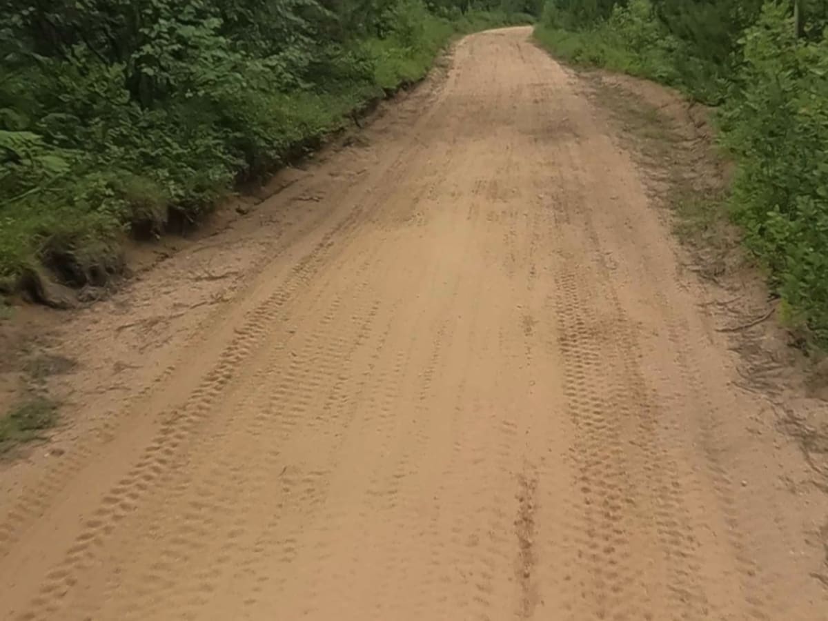
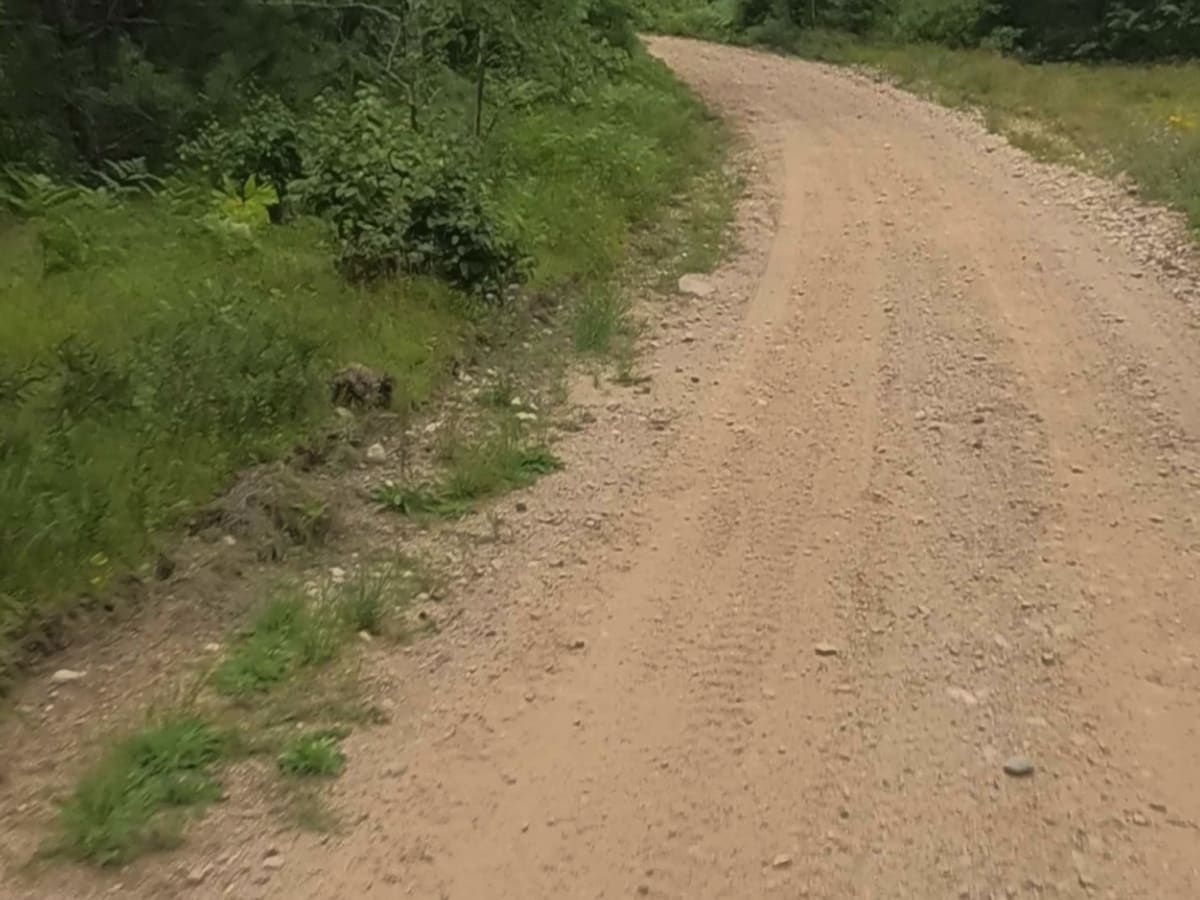
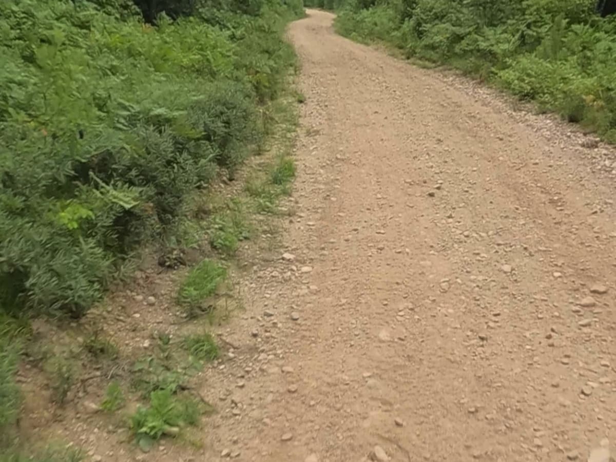
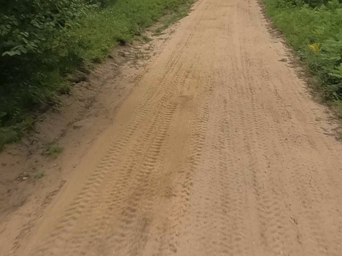
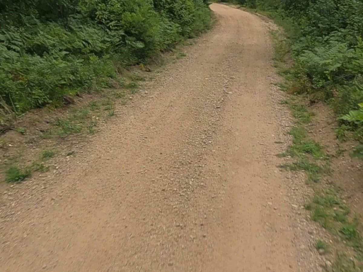
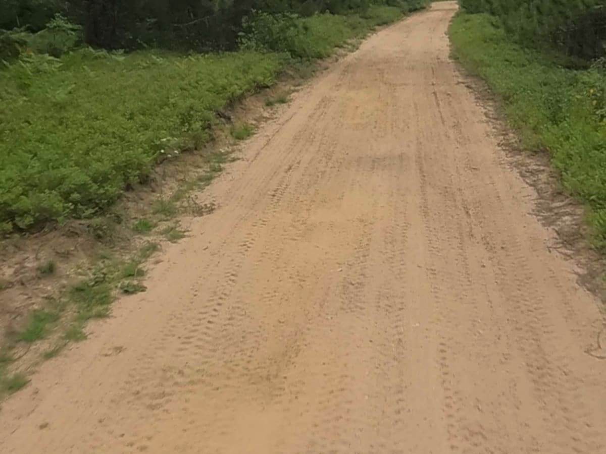
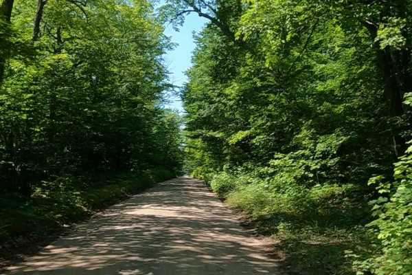
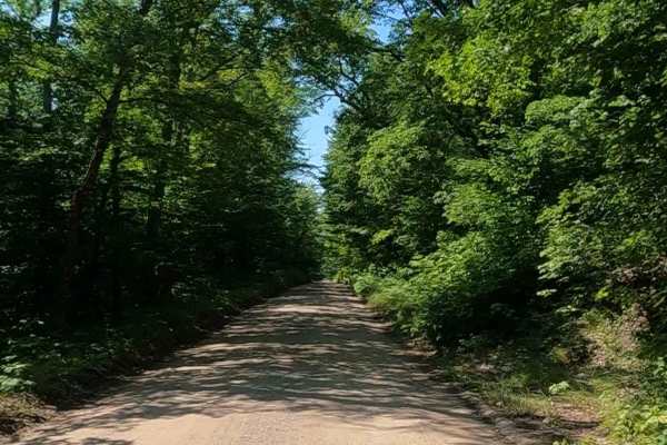
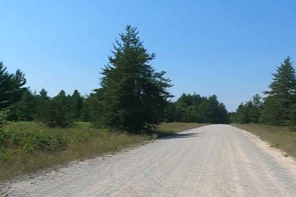
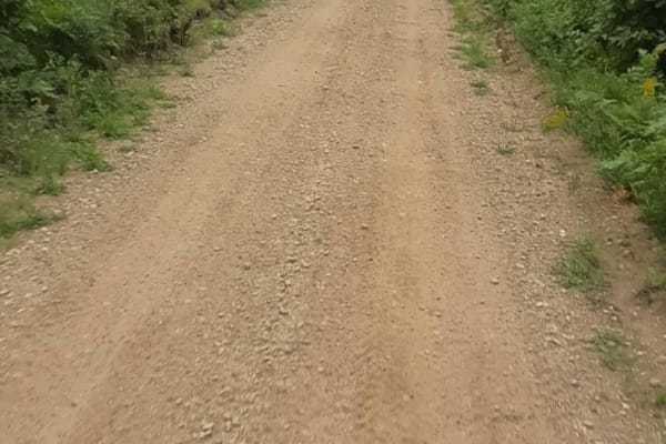
ORV Route C — Gwinn is a non-DNR road owned by the county. The surface is composed of dirt and native material, and the overall condition is considered poor. Since it is not a DNR road, ORV use is subject to local government laws. The route remains open under current closure criteria. This maintained ORV route measures approximately 2.93 miles in length and has a width greater than 12 feet. The surface consists of sand, dirt, and native material. Riders can expect a mix of terrain features, including inconsistent whoops, berms, and turns. The trail is maintained for snow use by U.P. Central Trails.
Difficulty
Maintained ORV route consisting of sand, dirt, native material. This route offers inconsistent whoops, berms, turns.
History
Gwinn, Michigan, was established in the early 20th century by the Cleveland-Cliffs Iron Company as a planned mining town to house workers for the Swanzy Range. Named after the mother of Cleveland-Cliffs president William Gwinn Mather, the town was designed by architect Warren H. Manning on a site chosen for its beautiful location and lack of underlying iron deposits. The town thrived as a mining community until the development of the K.I. Sawyer Air Force Base in 1956, which led to a shift in the community's economic focus.