Trail Overview
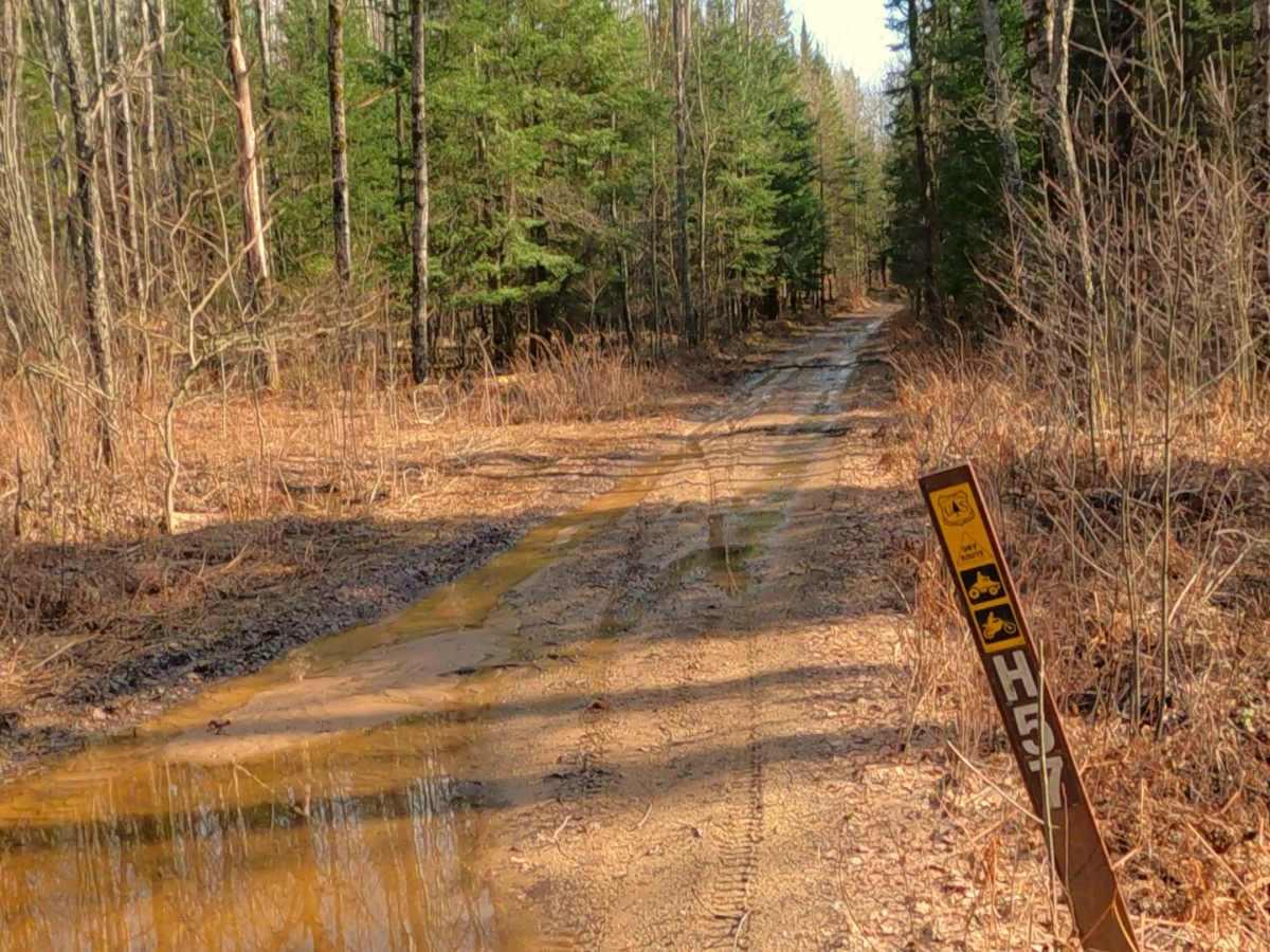
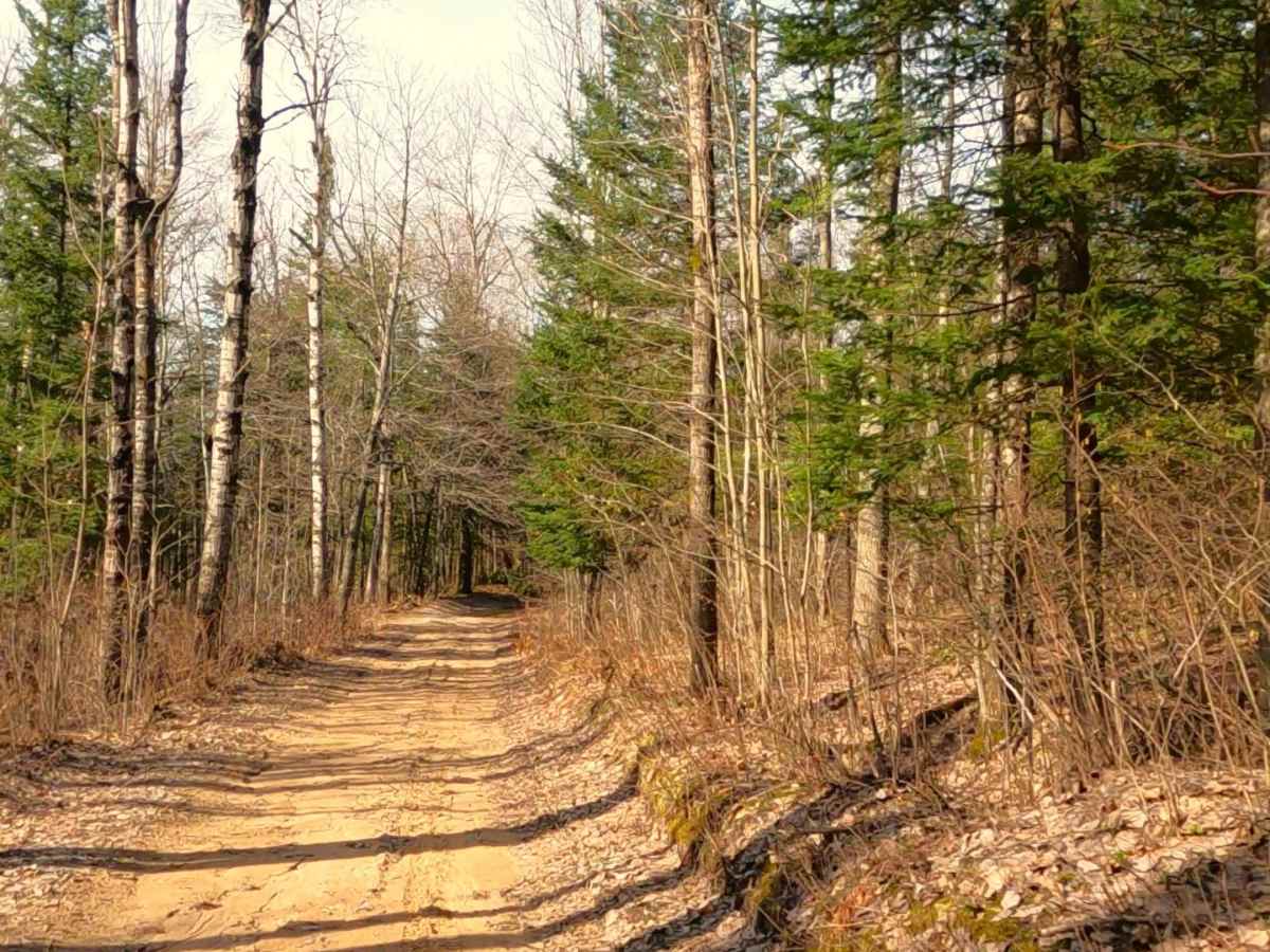
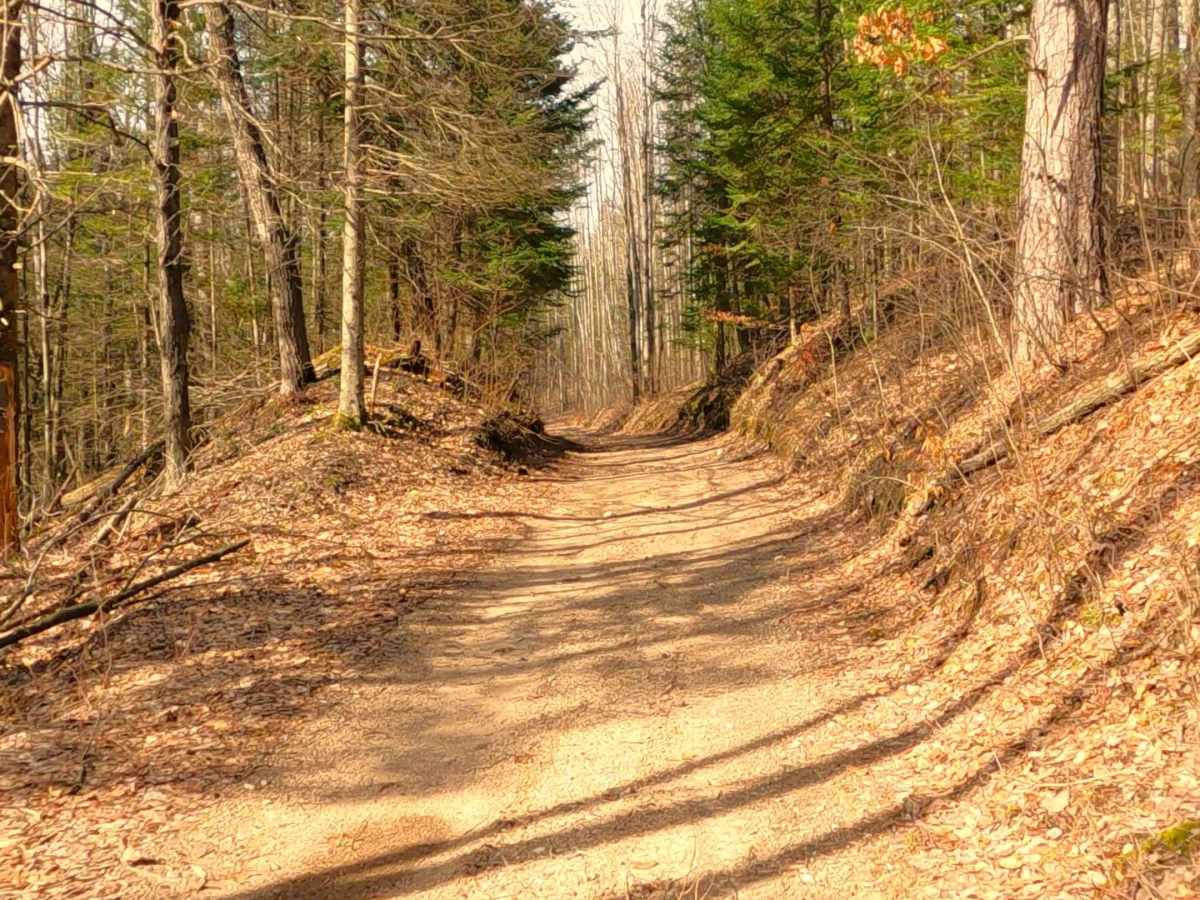
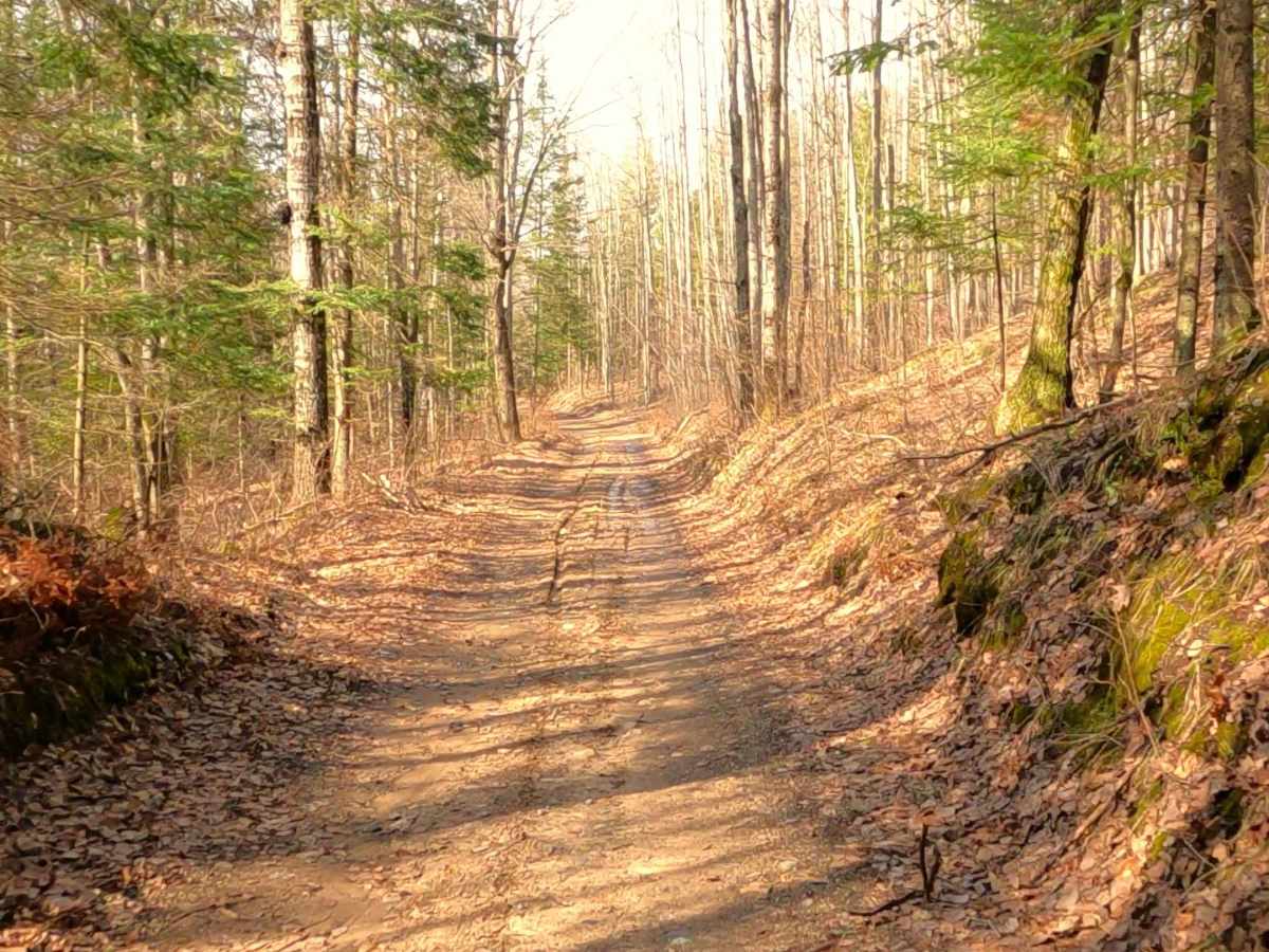
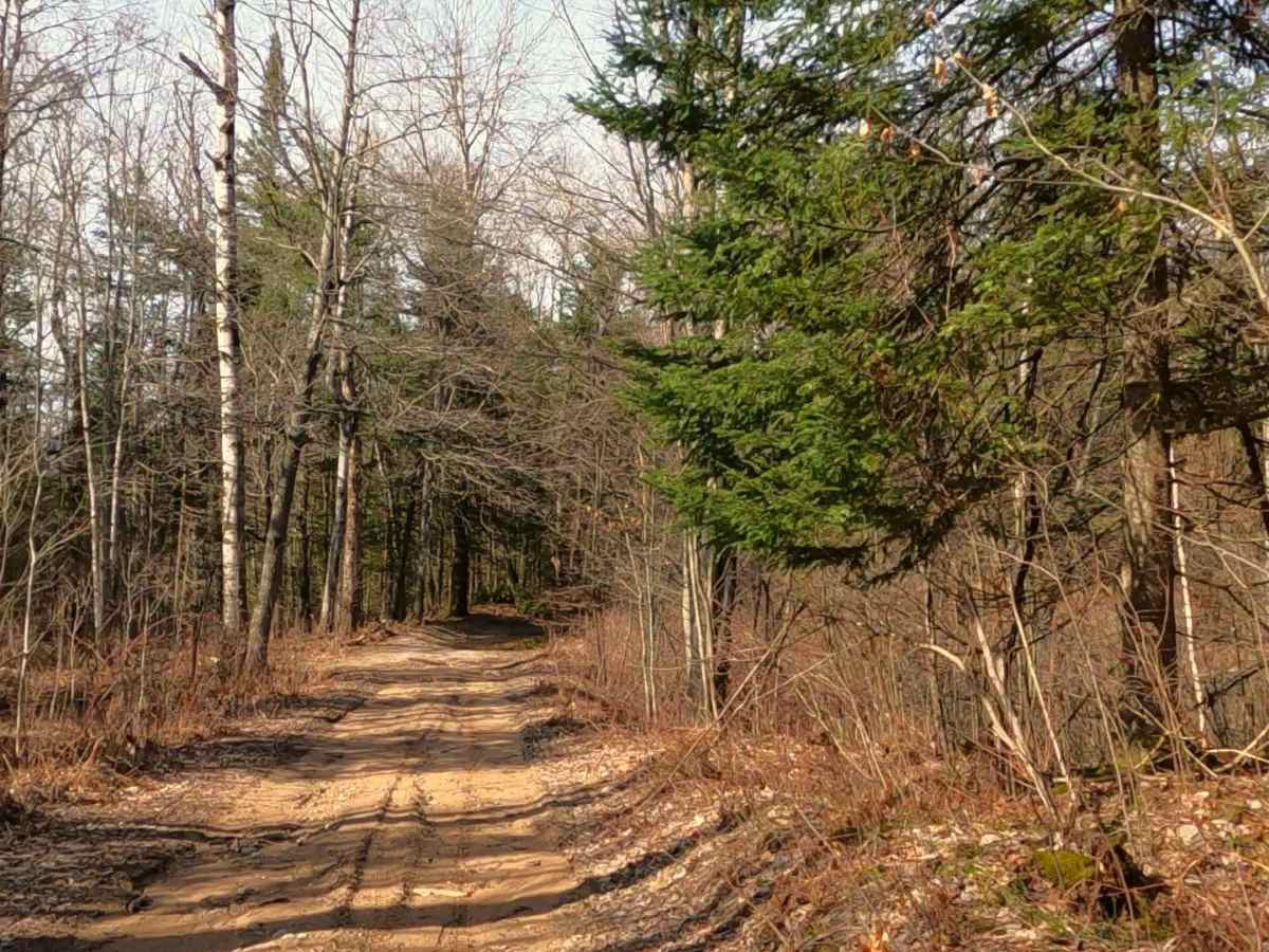
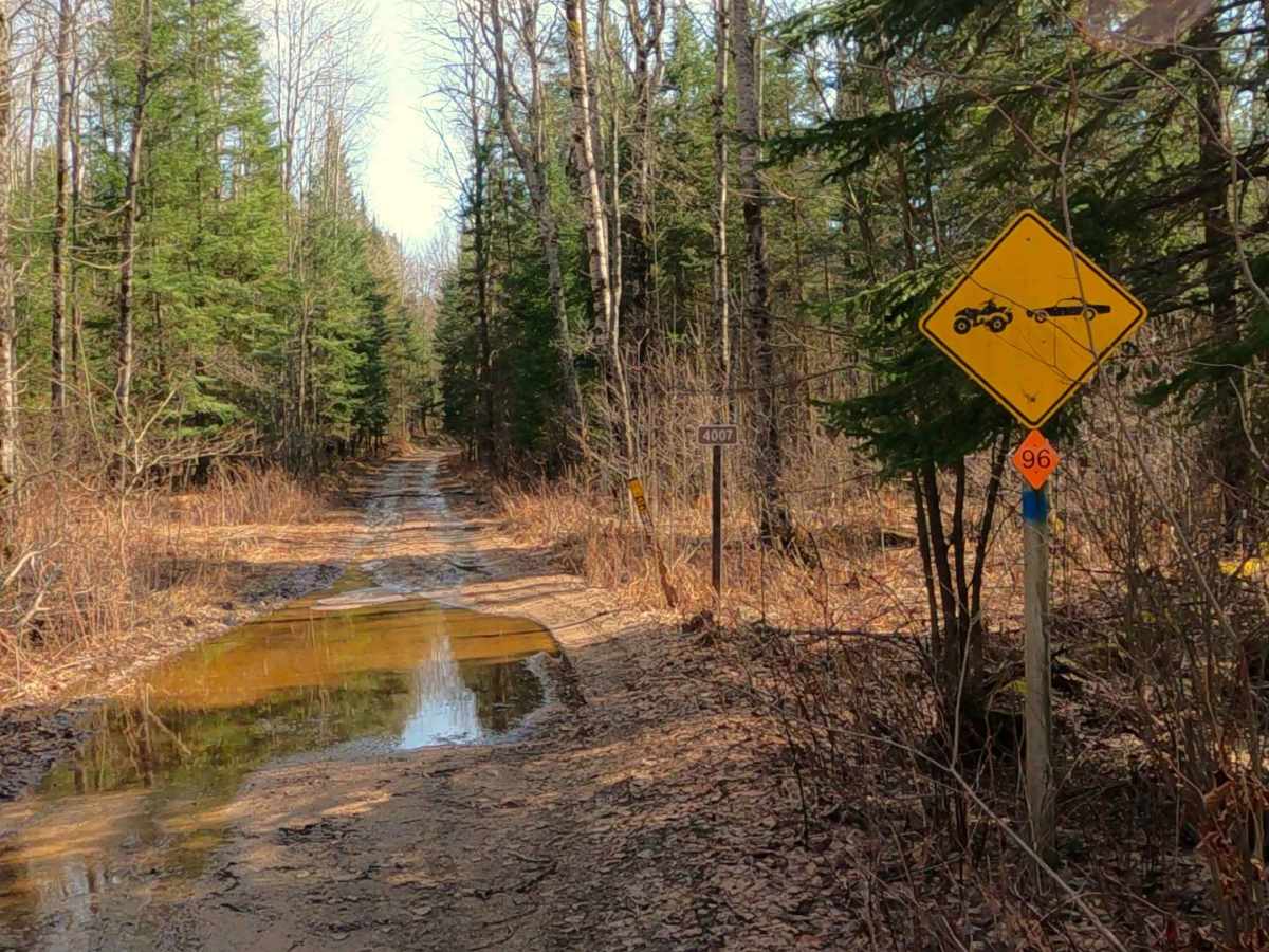
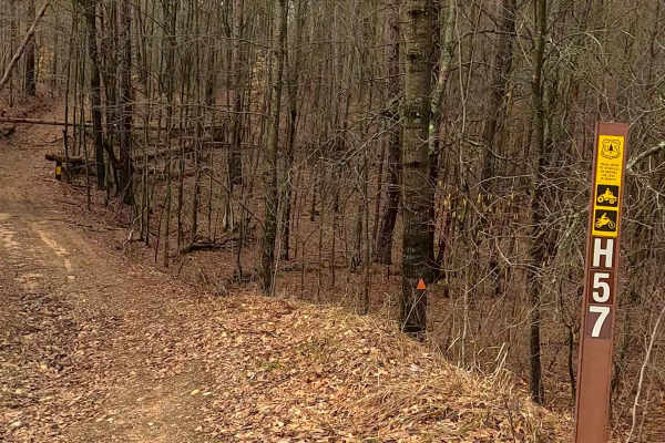
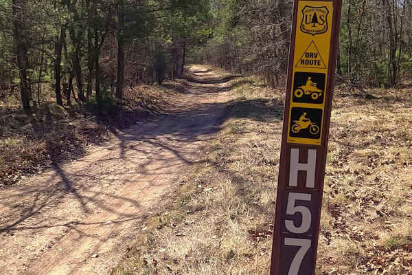
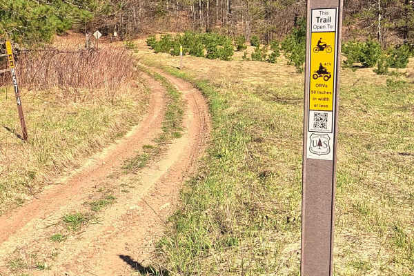
The Mack- Tabor Trail portion of the ORV Mack Lake Motorized Trail (MAT) is a designated 50-inch ATV/ off-road Motorcycle trail and ORV Mixed Traffic Route offering a mixture of sandy soil and hard-packed dirt, generally located in wooded terrain. The trail is known to be sandy and can become "whooped out" (heavily rutted/bumpy). It connects to the broader Mack Lake/Bull Gap OHV trail system. A valid ORV license and trail permit are required.
Difficulty
Sand, dirt, grass route, unmaintained after rain or snow that may give rise to shallow water crossings and obstacles under 12” on the trail, including small branches. This route is a designated 50-inch ORV trail for ATVs and off-road motorcycles, and a Mixed Traffic ORV Route.
History
Bull Gap is a renowned motorized recreation area famous for a steep 35–40% grade sand hill climb. As a key part of the local Mio riding scene, it became a popular, high-traffic destination for OHV enthusiasts, particularly on holiday weekends. It is the only designated "Open Area Riding" spot in the Huron-Manistee National Forest. In the late 1990s, the area grew immensely popular, drawing thousands of spectators and riders, which necessitated increased law enforcement and specific operation plans for holiday weekends like Memorial Day. The site includes over 100 miles of trail systems (some 50-inch restricted) and the main steep hill climb, attracting both amateur and experienced riders. The area is managed by the US Forest Service (Mio Ranger Station) and requires strict adherence to regulations, including ORV stickers and designated route usage