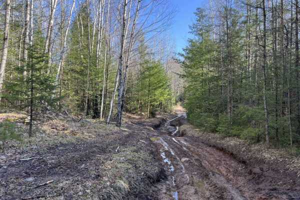
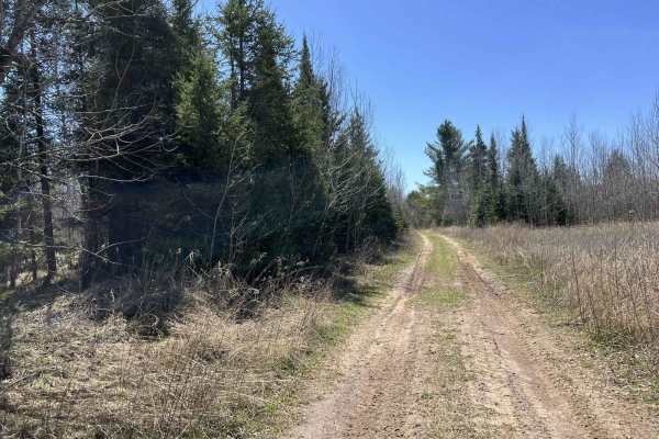
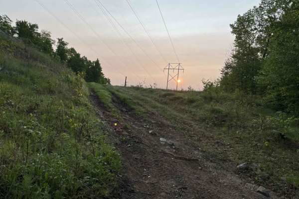
Trail Overview
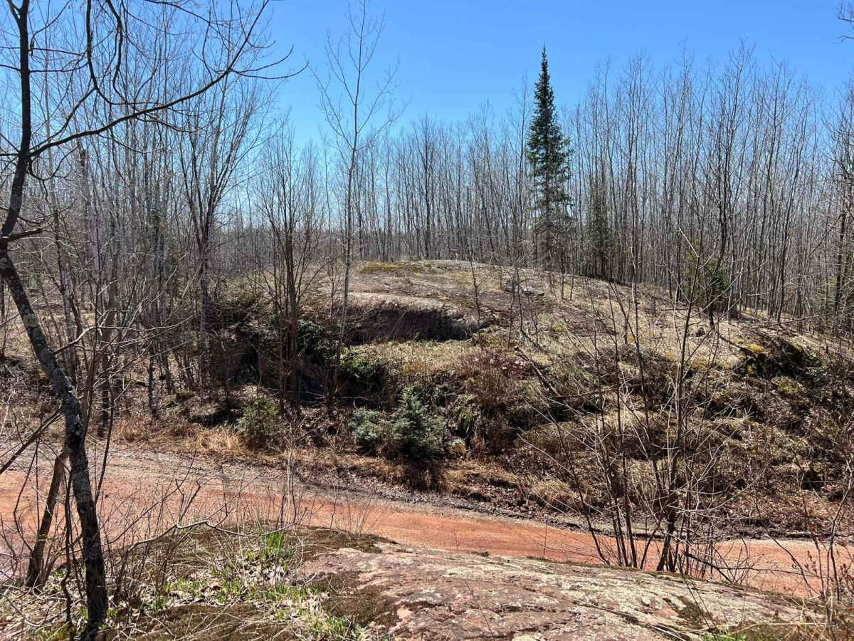
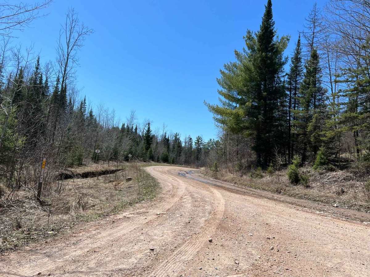
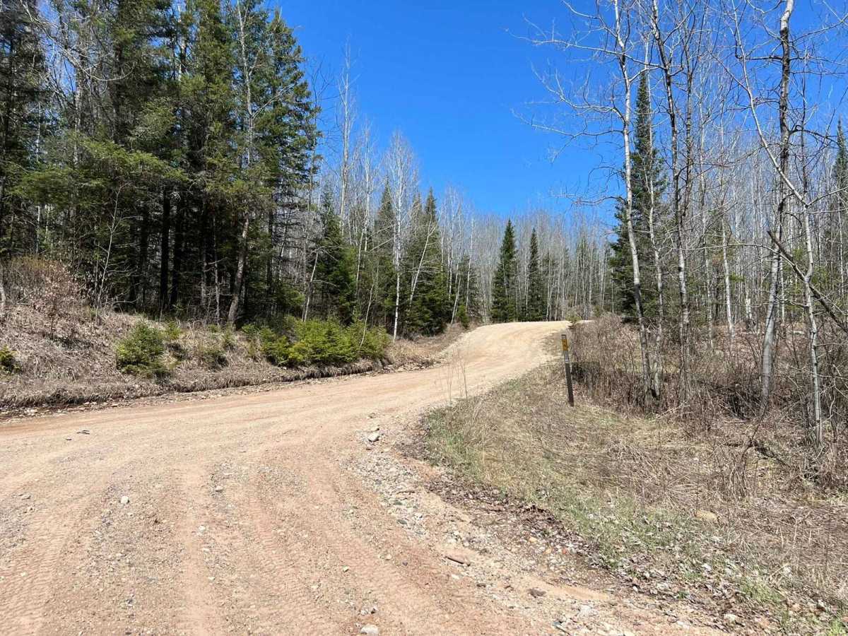
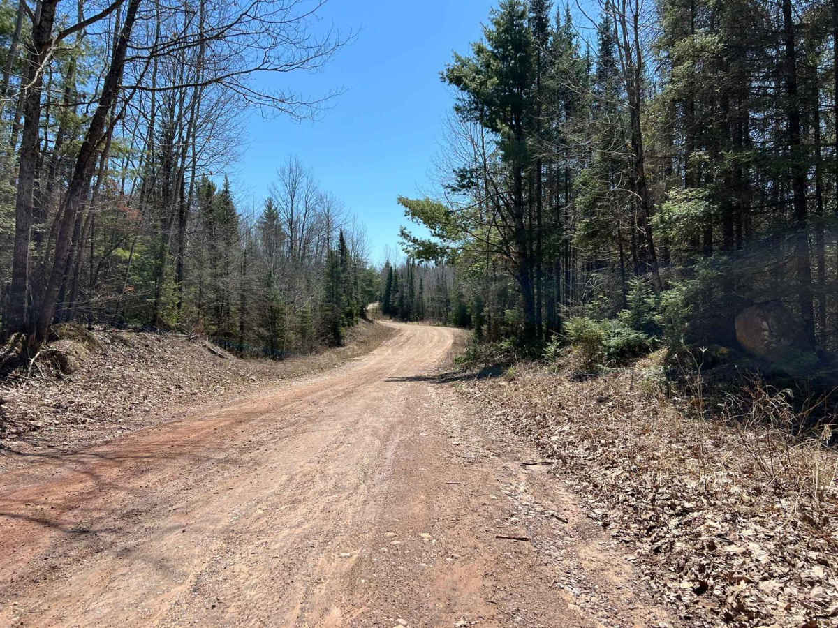
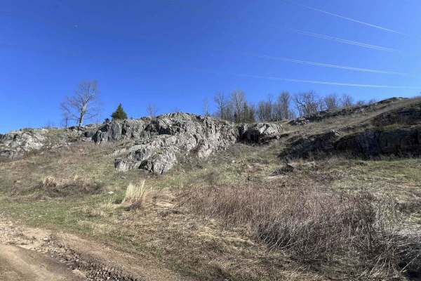
This is Dickinson County, Norway Truck Trail. This trail runs from its start point at County Rd 573, to its end point at one of the borders of the Crystal Falls Forest Management Unit, where the trail changes to Felch Mtn Road. This trail has some excellent sights and something different to see in either direction, making it a great choice. It overlooks one of the ski hills in the area when driving south. There are also some large rock formations along the way. This trail is wide, with flowing corners and excellent sightlines of oncoming trail traffic. The scenery varies from open field to old-growth forest, clear-cut sections, and large rock formations. Many spur trails can be accessed from this trail, serving multiple disciplines of off-road enthusiasts. It also has a park and ride location near the southern trailhead.
Difficulty
This trail can be easily completed by riders of all experience levels. This trail is two vehicles wide for its entire length, and there is ample room to safely pass oncoming traffic at, speed. Additionally the corners are long and sweeping allowing for excellent sight lines. The road surface is very smooth and well maintained, however when it is dry it can become dusty.