Trail Overview
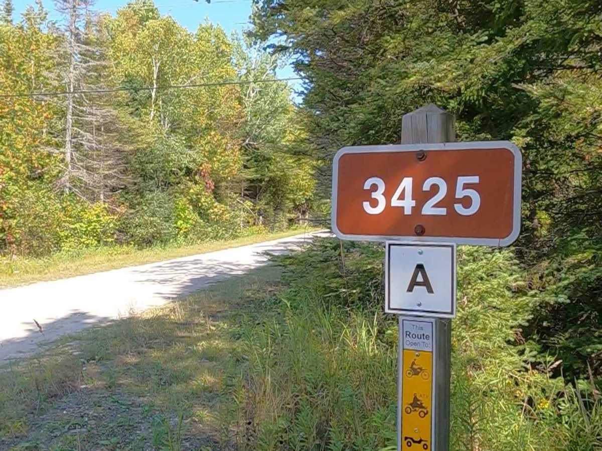
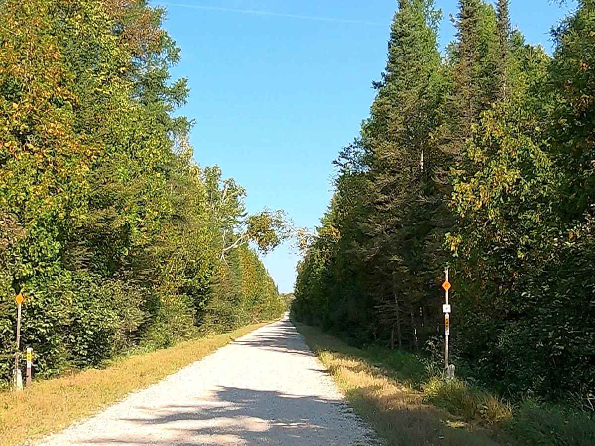
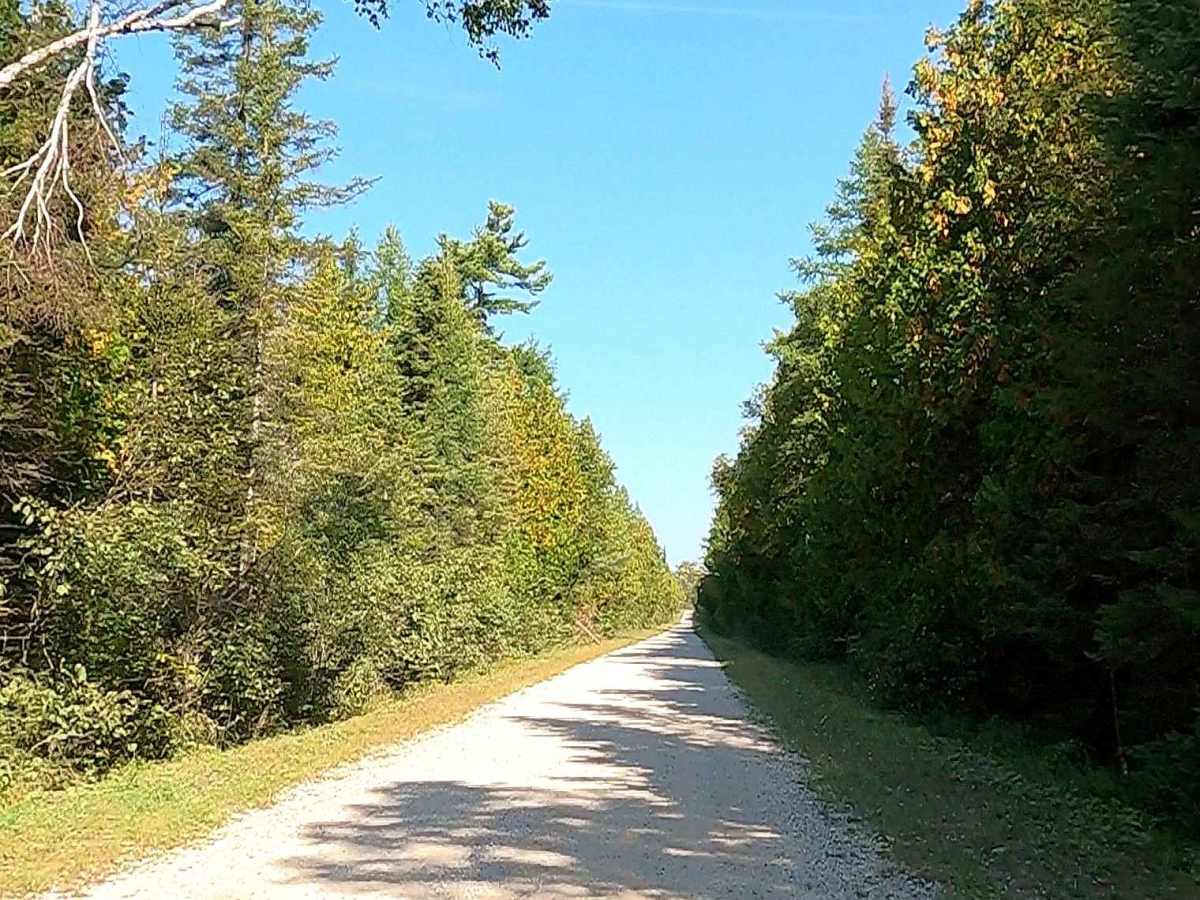
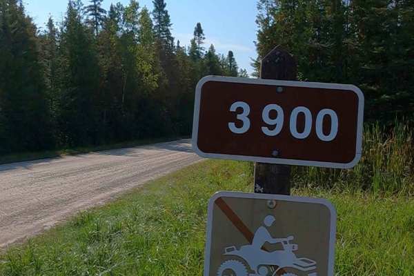
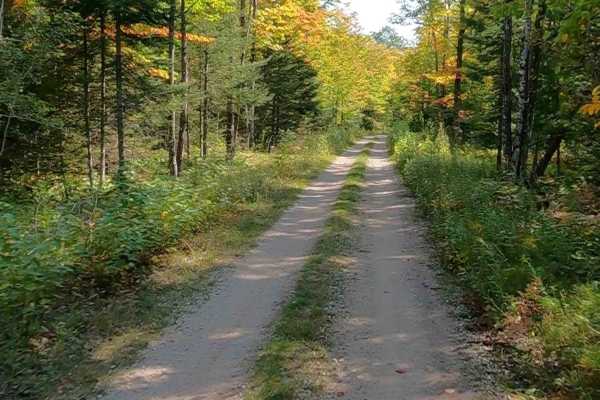
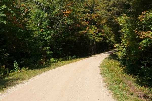
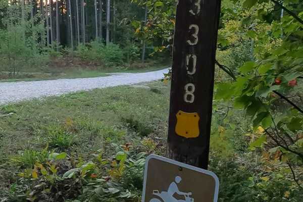
Federal Forest Service Road (FS) 3425, also known as North Service Road, is a federally owned/ locally maintained, Level-2/ Level-3 forest road with a surface composition of dirt, sand, gravel, and native material. This route is a "There-and-back" route currently open and in fair condition. It is a portion of a DNR route, known as ORV Route A (ORV use is subject to local government regulations) that runs along the east bank of the Pine River and connects North Huron Shore Drive (Byway) to FS 57B & 57c with an ORV accessible bridge connection over Interstate 75 to M-63 Mackinac Trail (continuation of ORV Route A) at: 46.077393, -84.663069. Description created on September 17, 2025.
Difficulty
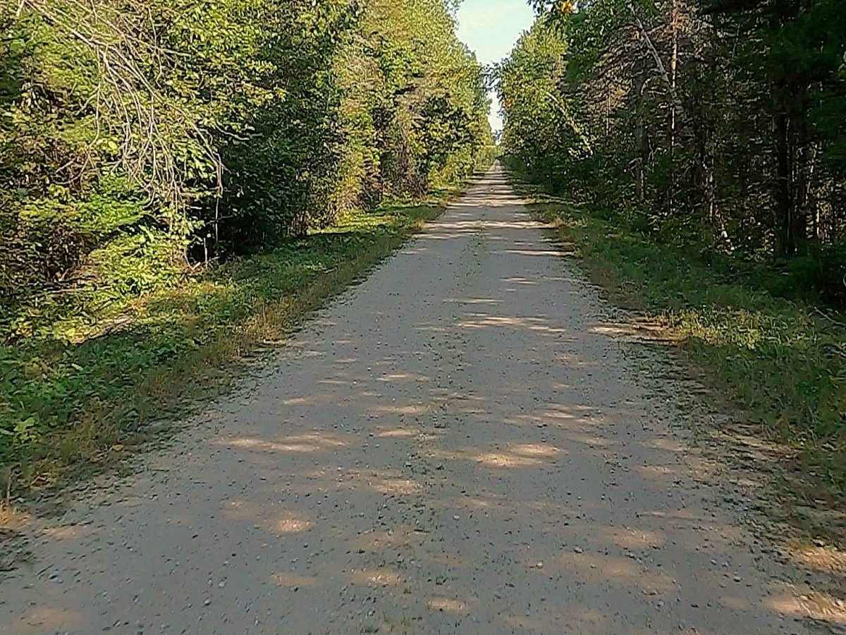
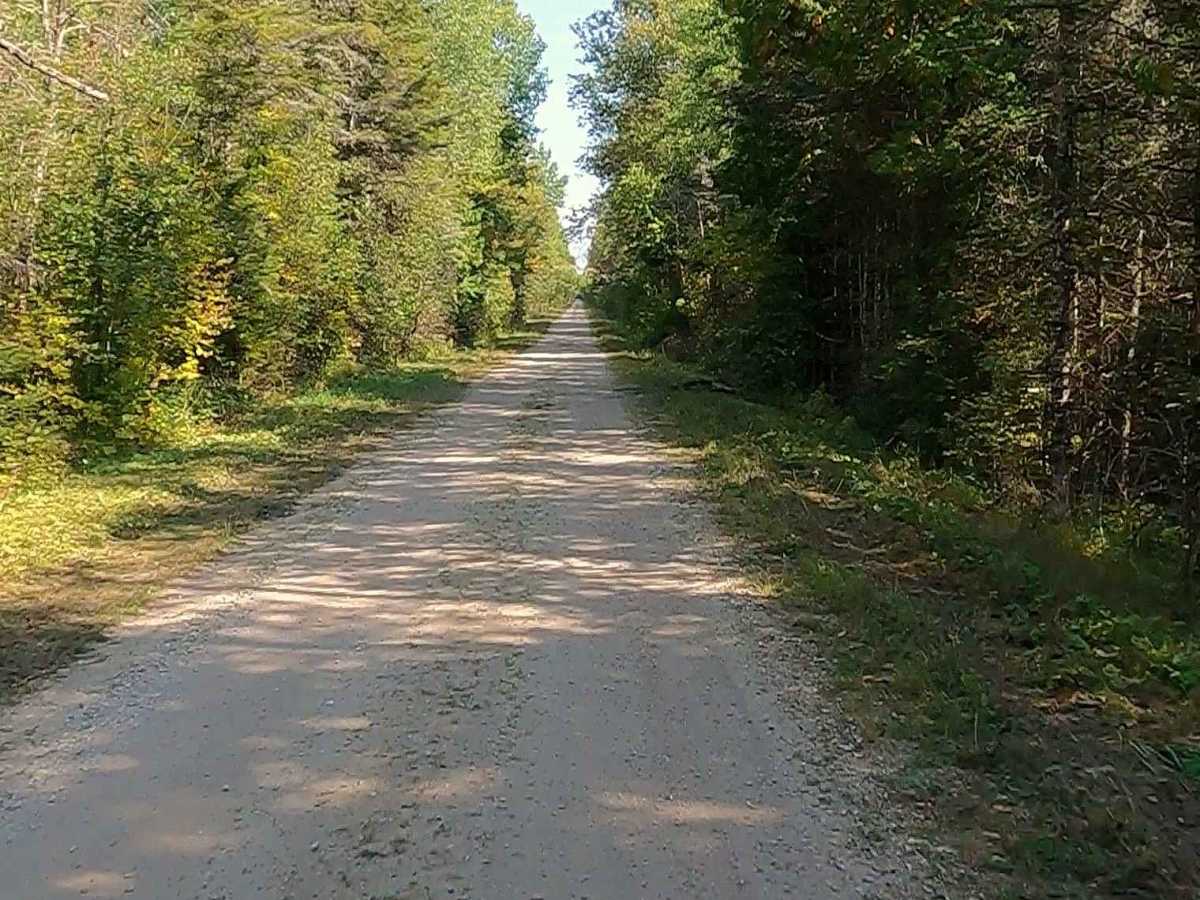
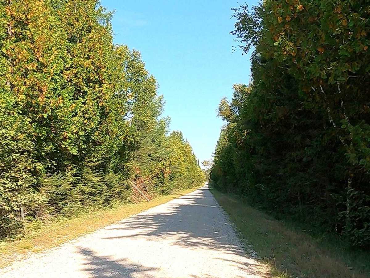
Gravel, dirt, and sand road with gentle grades. Safe for most 4WD and high-clearance 2WD vehicles. This road is typically two vehicles wide.
History
FS 3425 runs along the west bank of the Pine River in Mackinac County, near St. Ignace. The Pine River is a 103-mile-long stream originating in the Hiawatha National Forest near Trout Lake and flowing eastward through sandy terrain before emptying into St. Martin Bay in Lake Huron. Historically, it served as a vital waterway in the Upper Peninsula, utilized for logging operations and the transportation of goods. The area around the river has been influenced by Native American heritage, particularly the Anishinaabe (Ojibwa, Ottawa, and Potawatomi), who inhabited the region for thousands of years.