Trail Overview
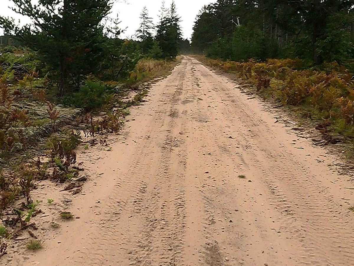
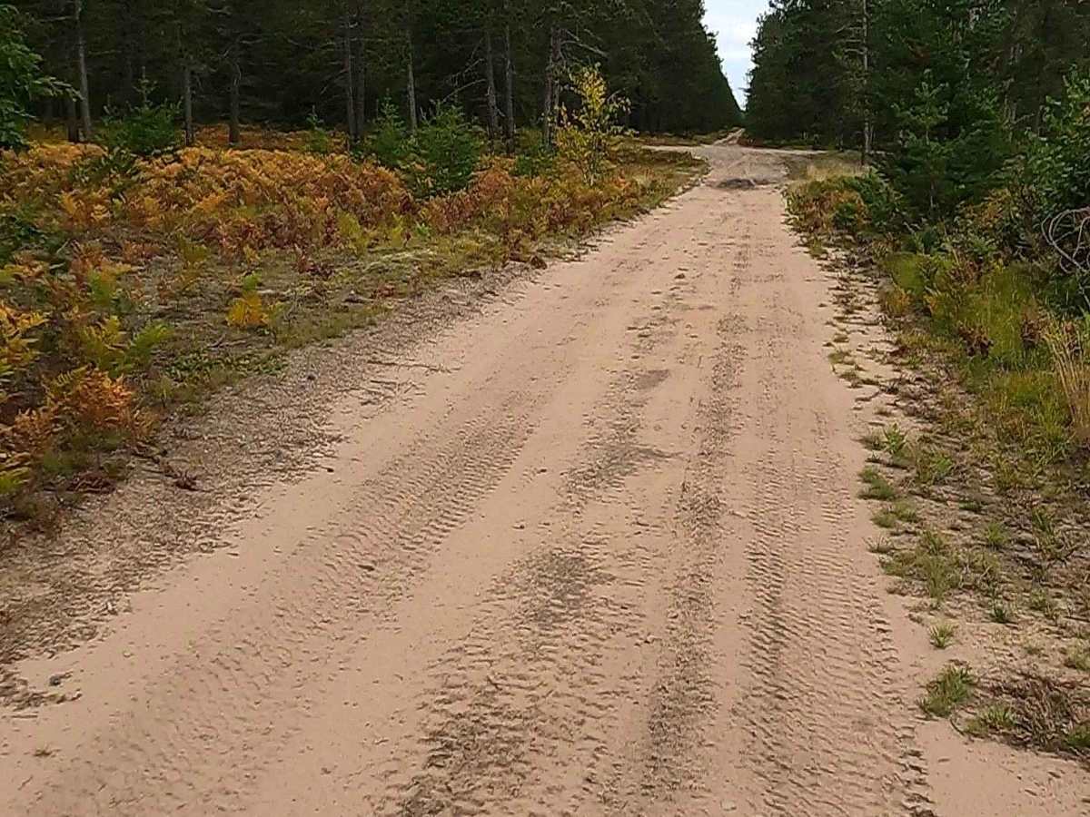
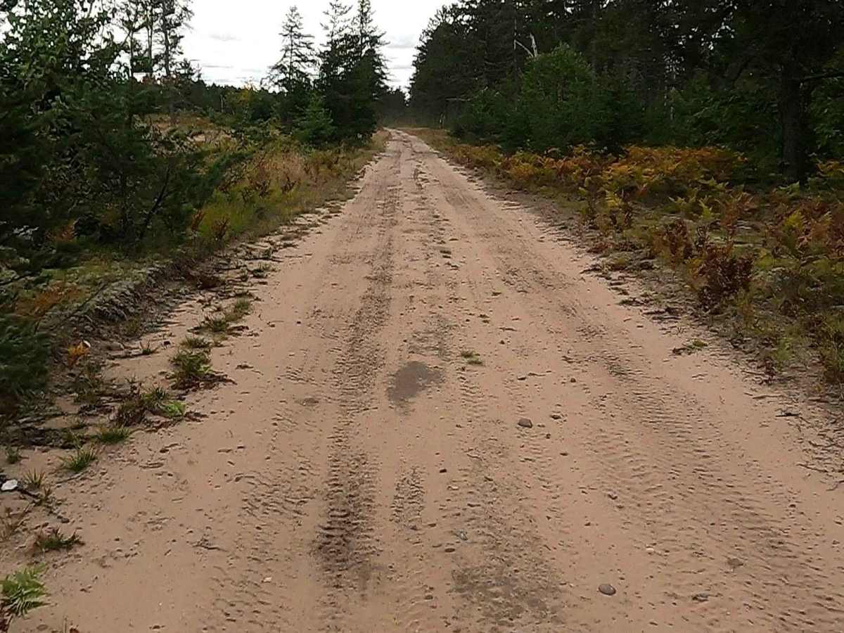
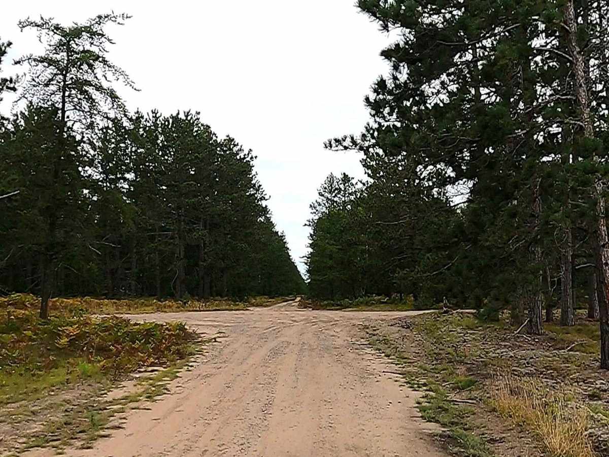
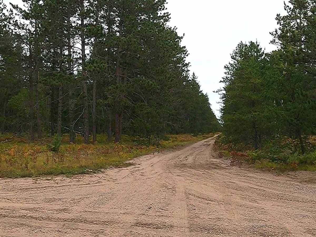
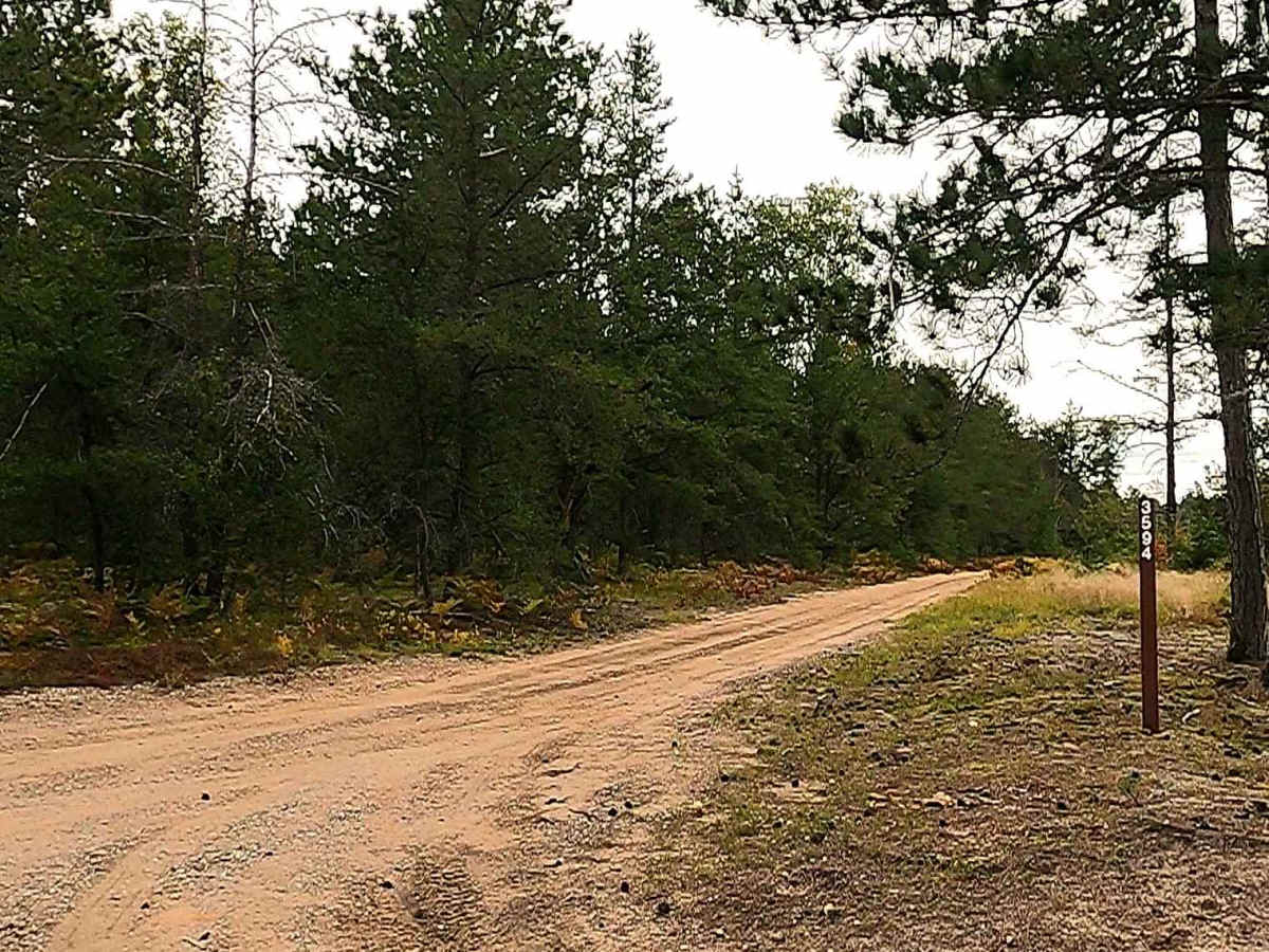
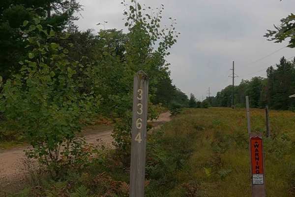
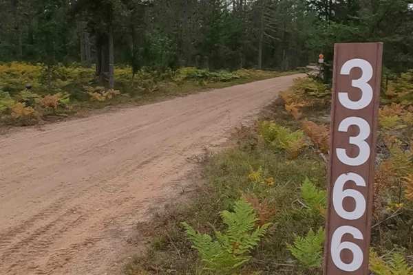
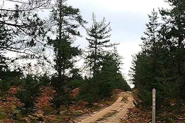
Federal Forest Service Road 3581, also known as North One, is a federally owned, Level-3 forest road with a surface composition of dirt, gravel, sand, and native material. This route is currently open and in fair condition; it is not a DNR road (ORV use subject to local government regulations) and connects South Ranger Road to FS 3578, FS 3579, FS 3153, FS 3369, FS 3622, and FS 3580. Description created on September 10, 2025.
Difficulty
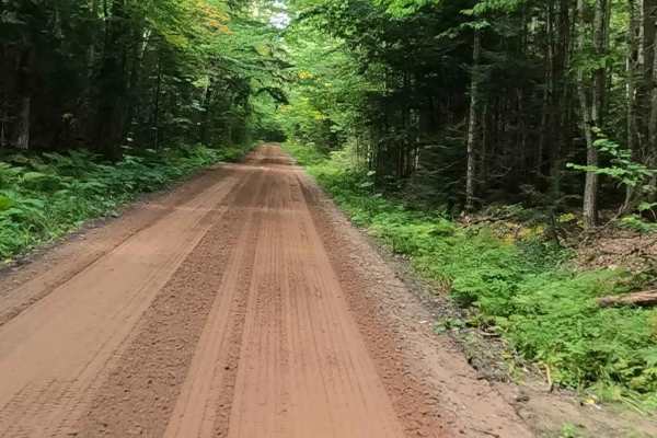
Dirt, gravel, sandy road, typically unmaintained after rain or snow, that may give rise to shallow water crossings and obstacles under 12 inches on the trail, including small ledges. This road is typically one to two vehicles in width.
History
Brimley, Michigan, founded in 1887 (originally "Superior"), grew as a key station on the Duluth, South Shore & Atlantic (DSS&A) Railway, with trains operating through the town until the early 1960s. The line supported the local logging economy, with a notable trestle crossing Waiska Bay and a depot, now represented by a replica. The DSS&A line was critical for transporting lumber and sawmill products to/ from nearby areas, including the town of Raco (established 1913 as CCC Camp Raco) and Wellsburg (1872). Regular train operations on the "Old Grade" ceased in the early 1960s.