Trail Overview
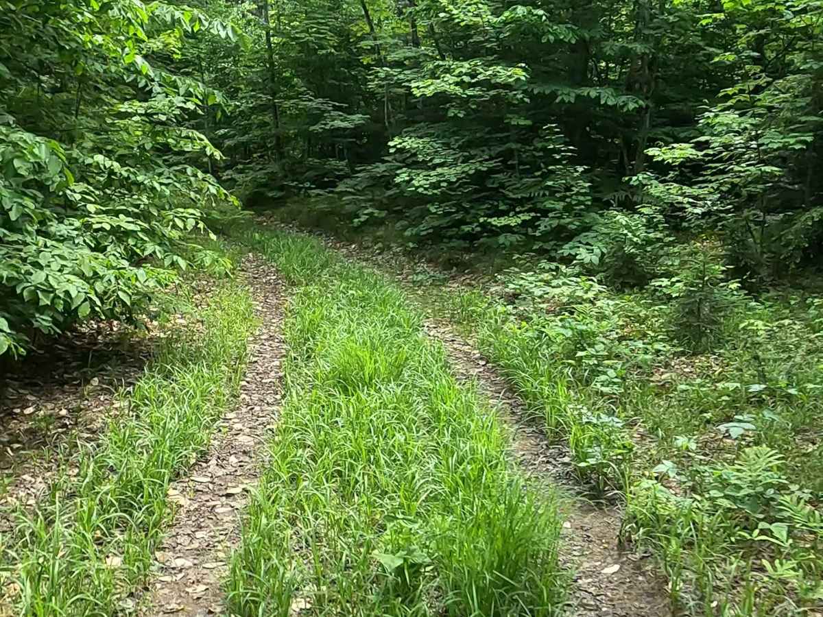
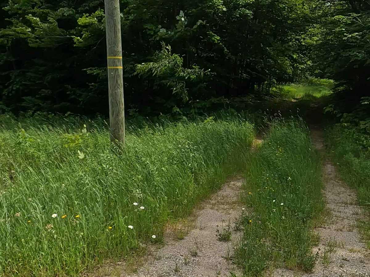
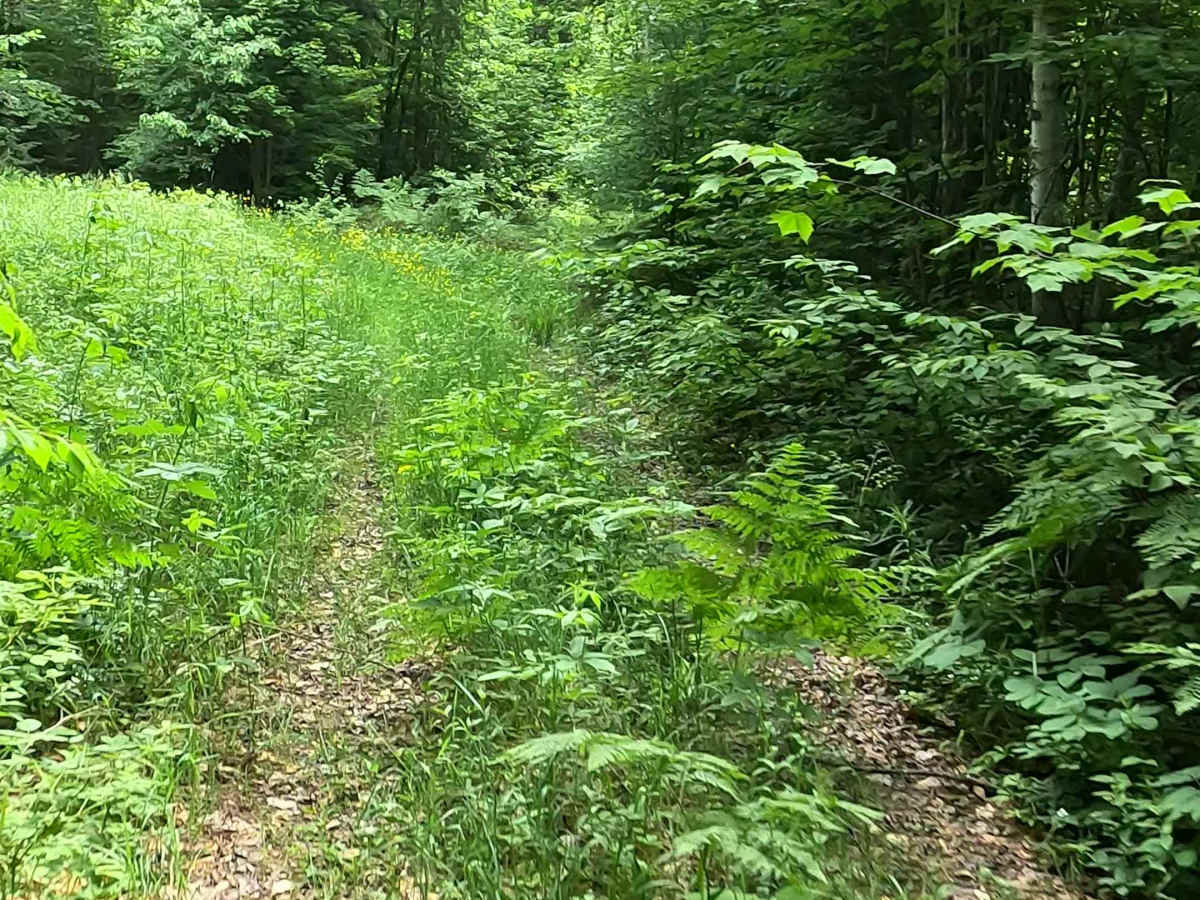
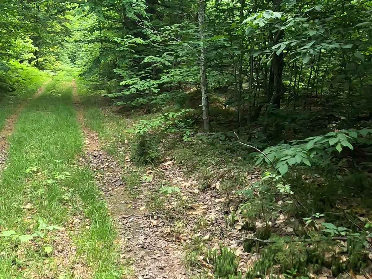
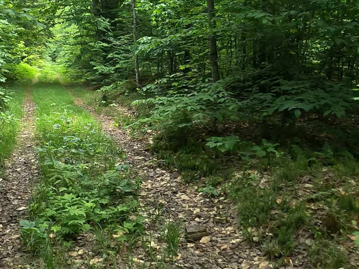
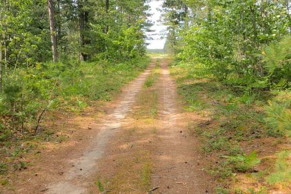
The Nature Conservancy Loop is a state owned/ locally maintained, Level-2/ Level-3, DNR Road Open to ORVs and equestrian rigs, with a surface composition of sand, dirt, and native material (ex: leaves, pine needles, pine cones, sticks, branches, and rocks). As a "There-and-Back" loop, this route offers access to the Dawson Creek and the Dawson Creek watershed area.
Difficulty
Dirt, gravel, grass, sand, marshland route typically unmaintained after rain or snow that may give rise to water crossings <12” and obstacles such as tree/ tree branches and river overflow/ flood crossings.
History
The land surrounding the Dawson Creek and Whiskey Creek Marshlands was shaped by the region's intense lumber, rail, and charcoal-production history in the late 19th and early 20th centuries, when Newberry grew as a primary regional hub. Over decades, forest roads and two-tracks evolved from historic logging and fire-suppression routes into designated multi-use recreational trails. In recent years, local advocacy groups—such as the Upper Peninsula Trail Horse Association (UPTHA), formed in 2024—along with state park management, have invested heavily in volunteer maintenance, road grading, site leveling, and tree clearance to improve rig accessibility. Headquarters Lake was also transitioned onto the official state reservation system (midnrreservations.com) to guarantee sites for riders making the long trek to the Upper Peninsula.


 Offroad