Trail Overview
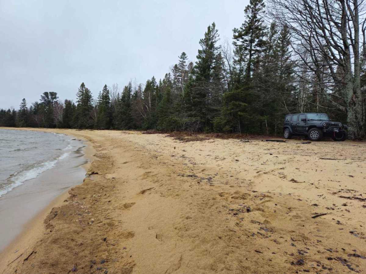
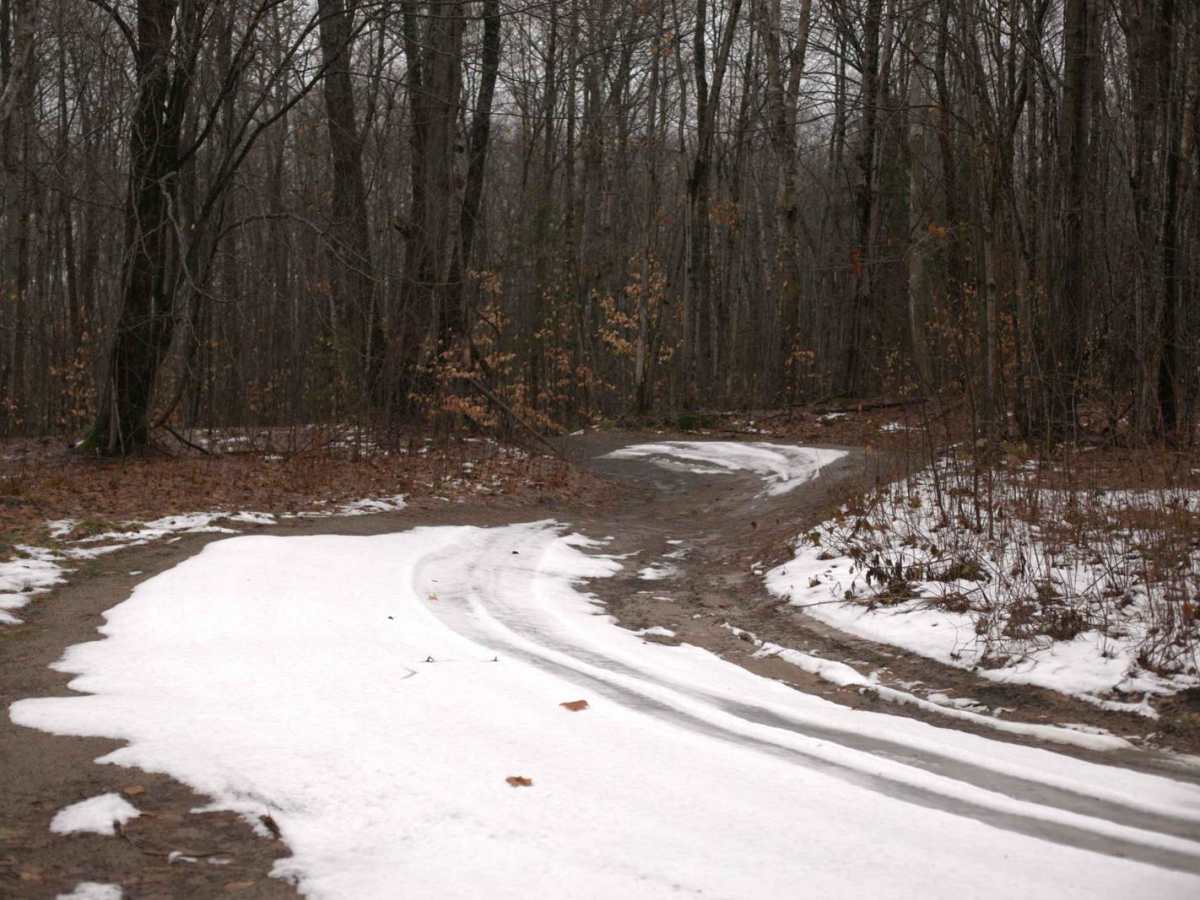
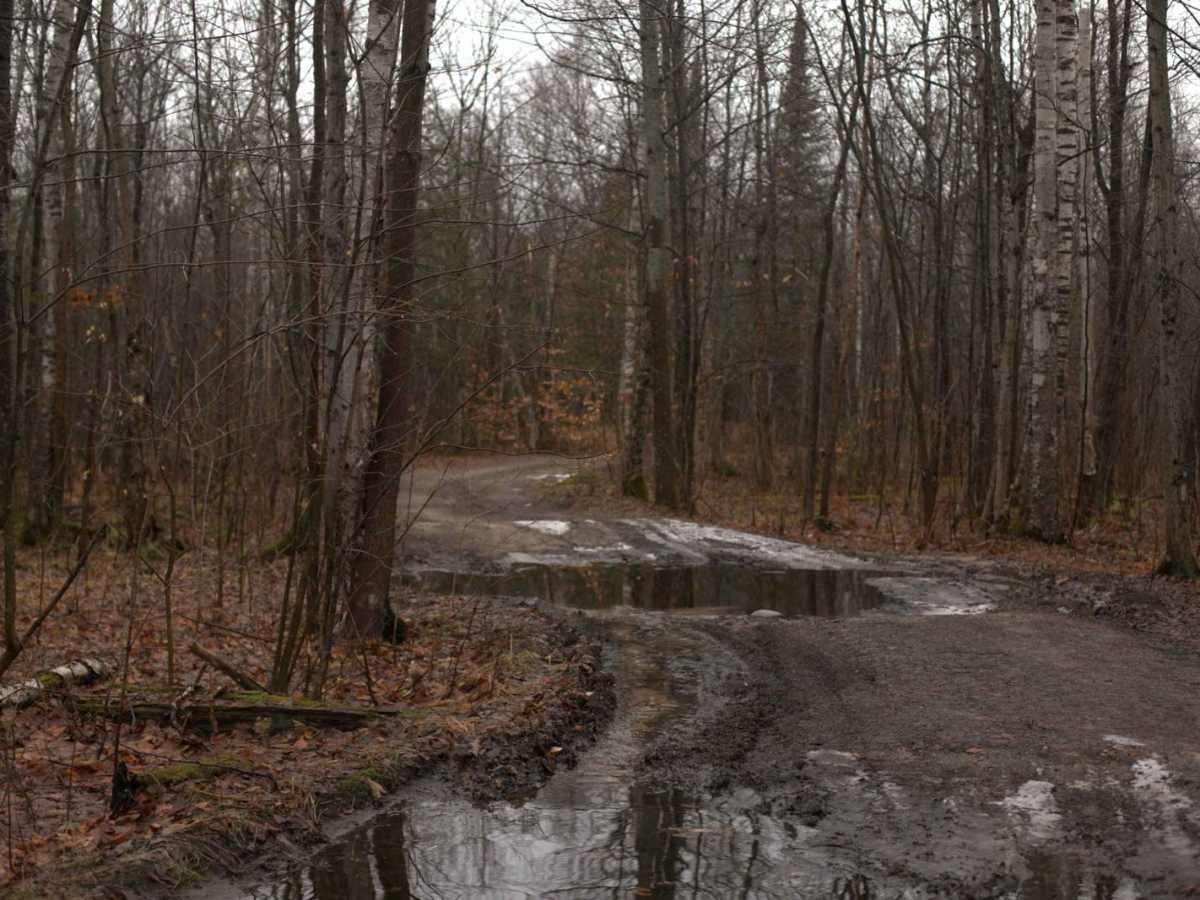
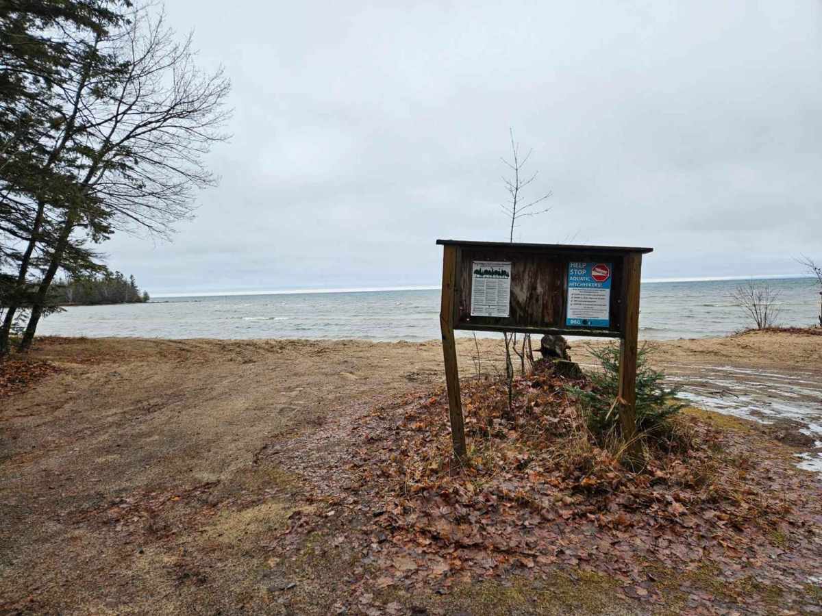
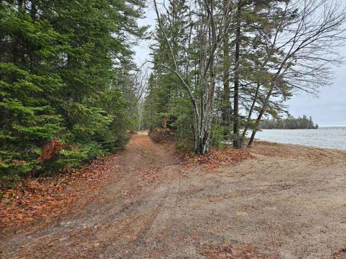
Explore the enchanting Naomikong Point Trail, a delightful adventure tailored for all skill levels and accessible without the need for a high-clearance vehicle. While this journey offers an easy-going experience, it's worth noting that there's a specific point along the trail where low-clearance vehicles may encounter challenges. However, with meticulous care, even these vehicles can navigate through this section effortlessly. Situated just 20.8 miles from Paradise, 35.2 miles from Sault Sainte Marie, and 51.7 miles from Saint Ignace, the trailhead serves as a gateway to a scenic escapade. The trail concludes at the picturesque Lake Superior, inviting explorers to savor the breathtaking surroundings and embark on a hike around Naomikong Point. For those seeking a more unconventional experience, driving right on the beach is an option! This captivating trail caters exclusively to day use, offering a perfect retreat for nature enthusiasts. Please note that overnight camping is not permitted. Fortunately, the trail remains open year-round, ensuring you can indulge in its beauty regardless of the season. Managed by the US Forest Service, Naomikong Point Trail promises an unforgettable outdoor experience for all who venture along its path.