Trail Overview
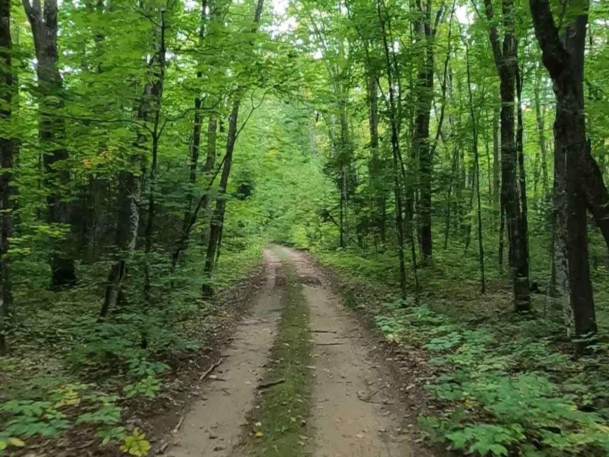
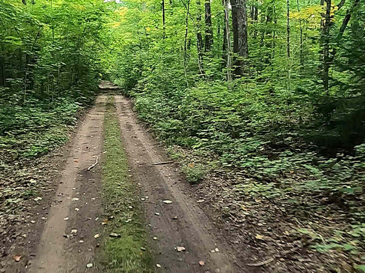
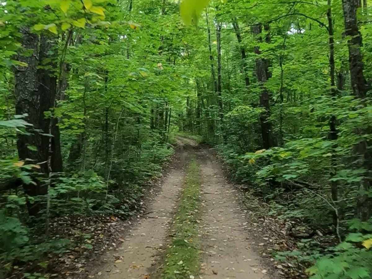
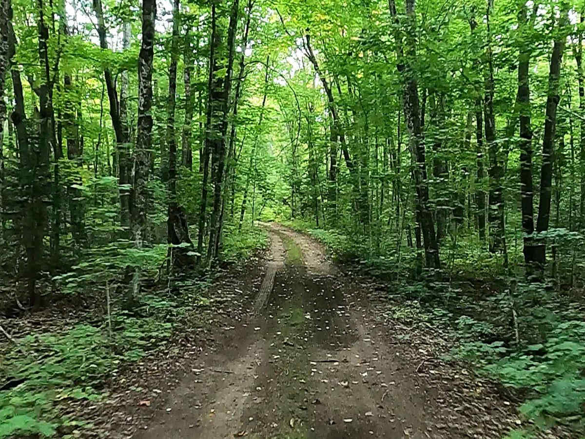
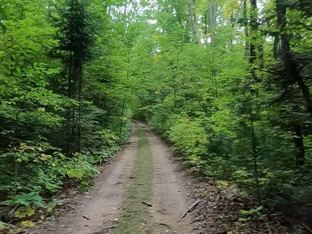
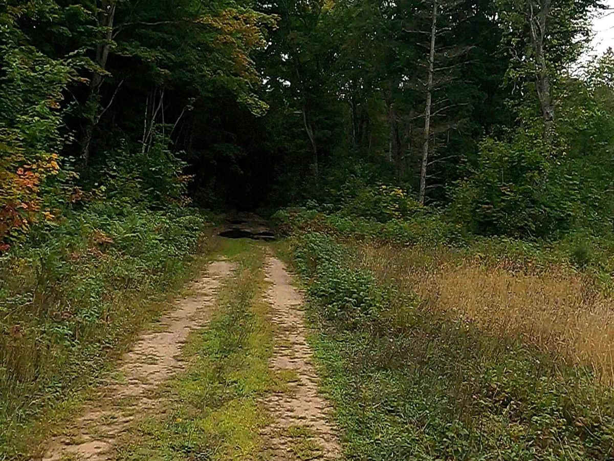
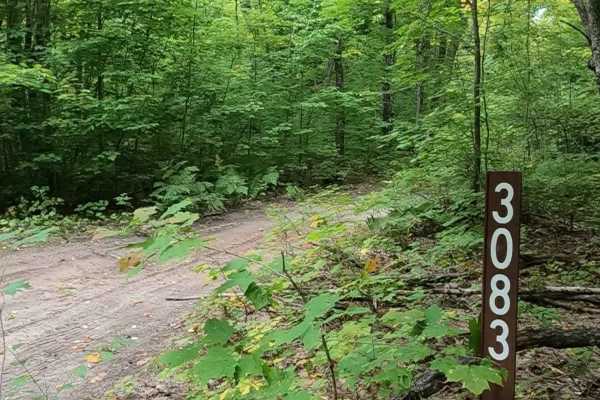
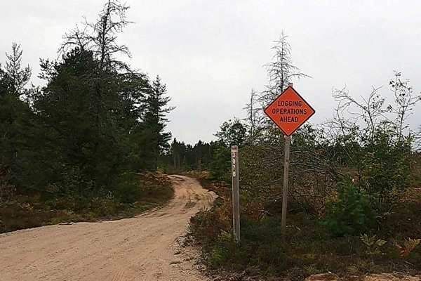
Federal Forest Service Road (FS) 3636, also known as Maple Strip, is a federally owned/ locally maintained, Level-2/ Level-3 forest road with a surface composition of dirt, sand, gravel, and native material. This route is currently open and in fair condition; it is not a DNR road (ORV use is subject to local government regulations) that connects South Salt Point Road to FS 3083. Description created on September 11, 2025.
Difficulty
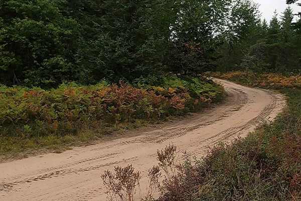
Dirt, gravel, sand, grass, and a rooted path, typically unmaintained after rain or snow, may give rise to shallow water crossings and obstacles under 12 inches on the trail, including small ledges. This route is a narrow "Two-Track" that is one vehicle in width.
History
Strongs Corner (or simply Strongs), located in Chippewa County in Michigan's Upper Peninsula along Michigan Route 28 between Sault Ste. Marie and Newberry developed as a small hub serving travelers, hunters, and tourists. Known for its rustic taverns and cabins, it historically served as a stopover for hunting and snowmobiling, featuring businesses like Strongs Tavern and "De Weese's Complete Service" in the 1940s and 1950s. Situated in the eastern Upper Peninsula, the area has long catered to outdoor enthusiasts, specifically for bear and deer hunting, as well as snowmobiling. The area is part of a rural, heavily forested region that has maintained its character as a stopping point rather than developing into a large town.

 Offroad