Trail Overview
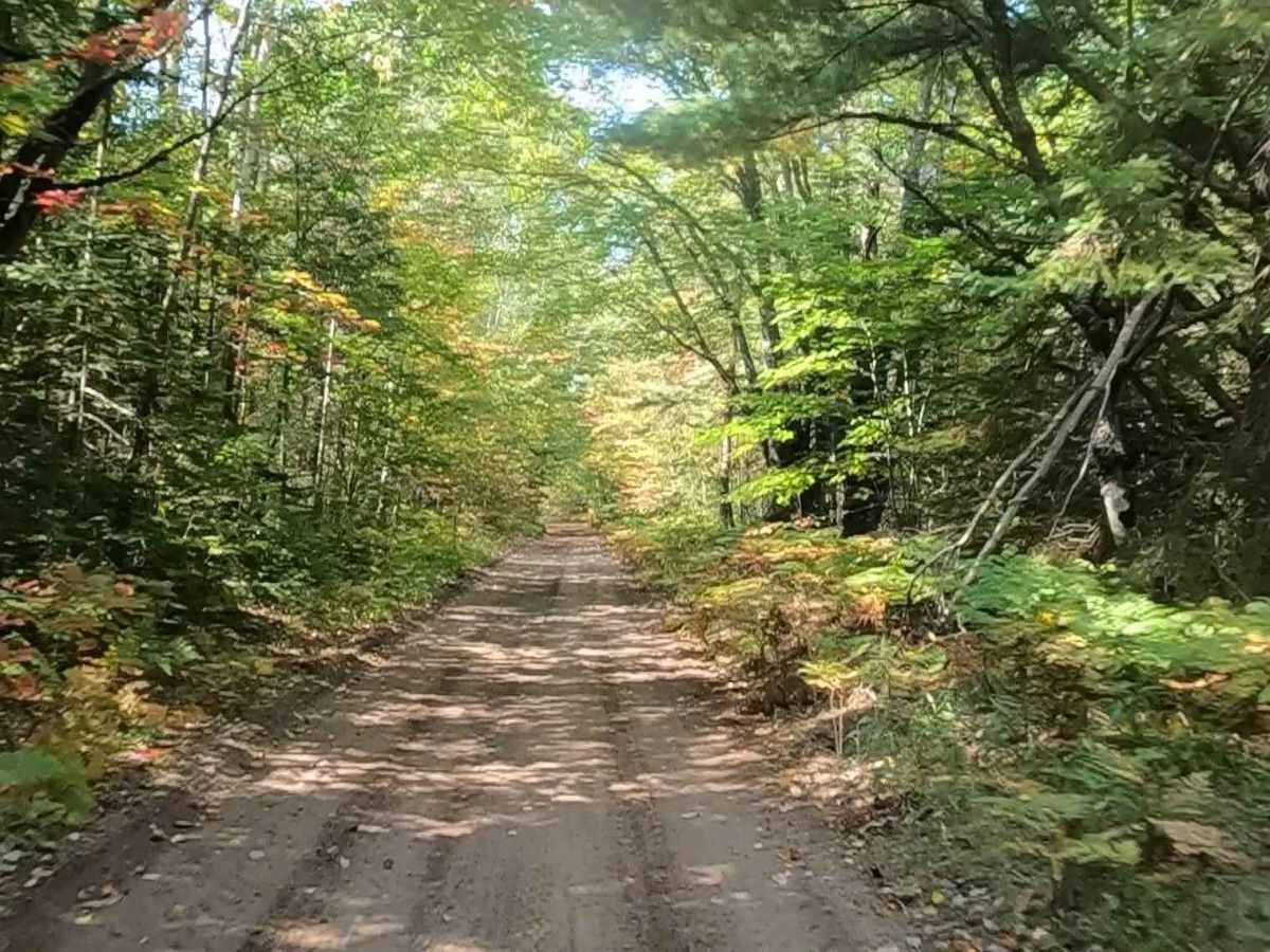
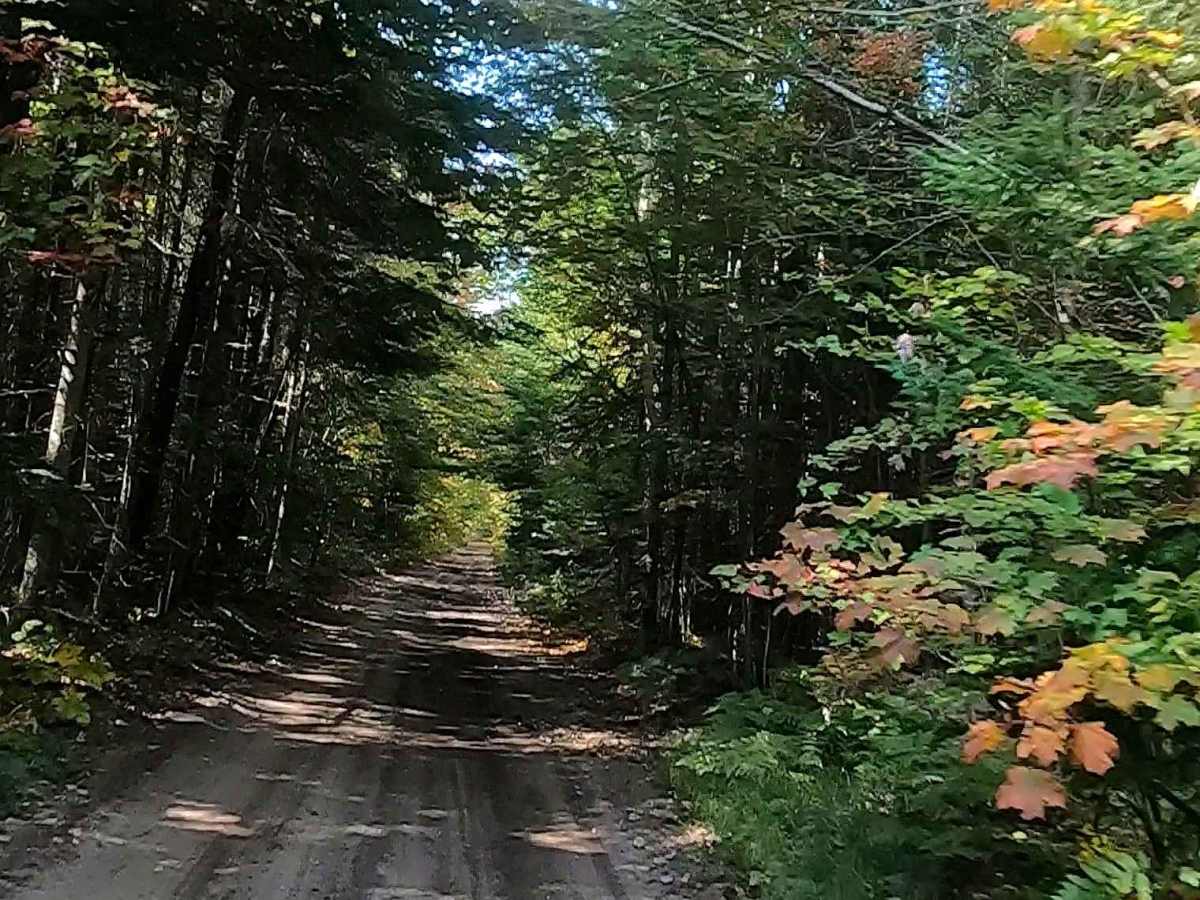
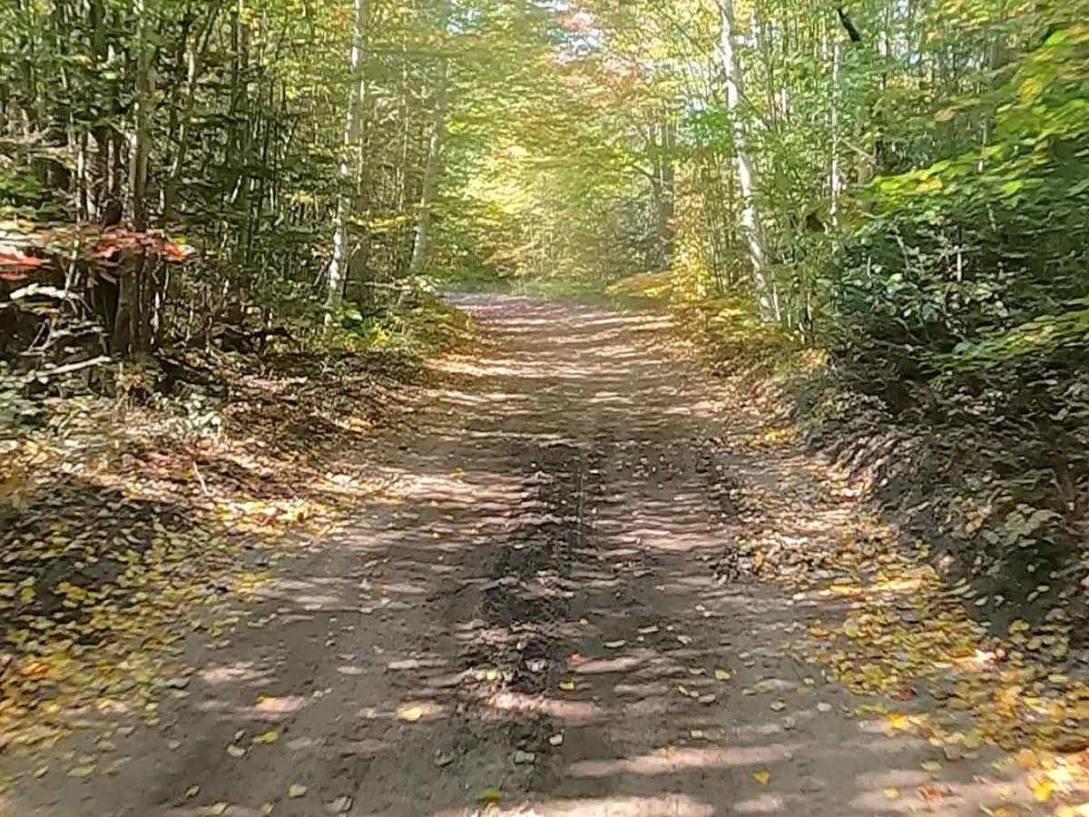
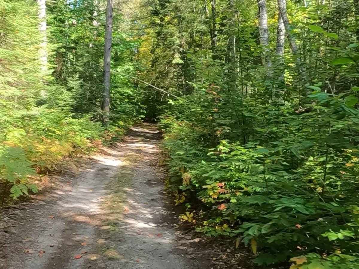
Forest Service Road (FS) 3364, Hog Island Road, also known as Townline Road, is a state-owned/ locally maintained, Level-2/ Level-3 forest road with a surface composition of dirt, sand, gravel, and native material. This route is currently open and in fair condition; it is a portion of a DNR route, known as ORV Route A (ORV use is subject to local government regulations). It runs parallel to/ crosses over Hog Island Creek and connects Hiawatha Trail to Strouble Lake Road, Crawfin Lake Road, Tilden Road, Strickler Trail, Old Stage Trail, Sand Lake Trail, Mac Country 830, Orchard Hill Road to US-2 Lake Michigan Scenic Highway. Description created on September 17, 2025.
Difficulty
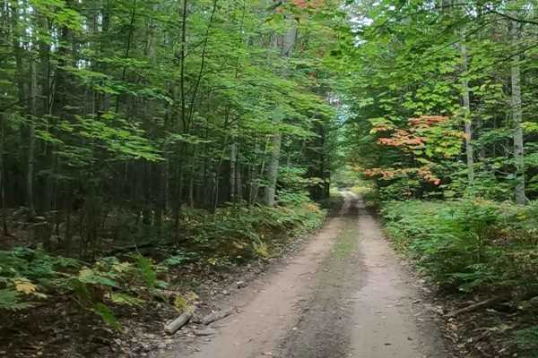
Gravel, dirt, sandy road, unmaintained after rain or snow that may give rise to shallow water crossings and obstacles under 12 inches on the trail, including small ledges. This road is typically one to two vehicles in width, with portions that narrow down to a "Two Track" road.
History
Hog Island, located in Lake Michigan as part of the Beaver Island archipelago in Charlevoix County, is a 2,075-acre, largely undisturbed, and uninhabited state-owned island. It is a designated natural area, known for its coniferous swamps, bogs, interdunal wetlands, and as a habitat for threatened plant species, offering very limited access. Access to the island is difficult, even by boat, which has helped preserve its natural state.