Trail Overview
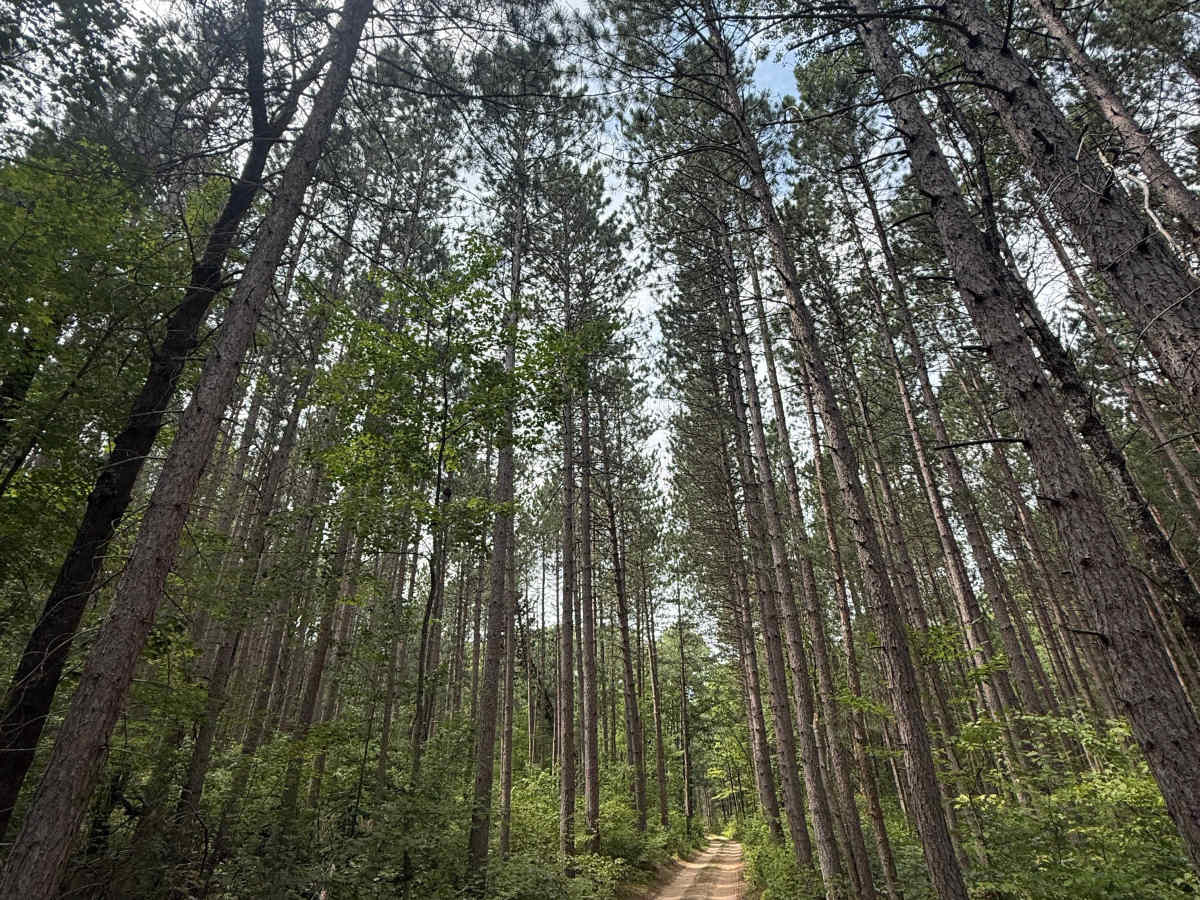
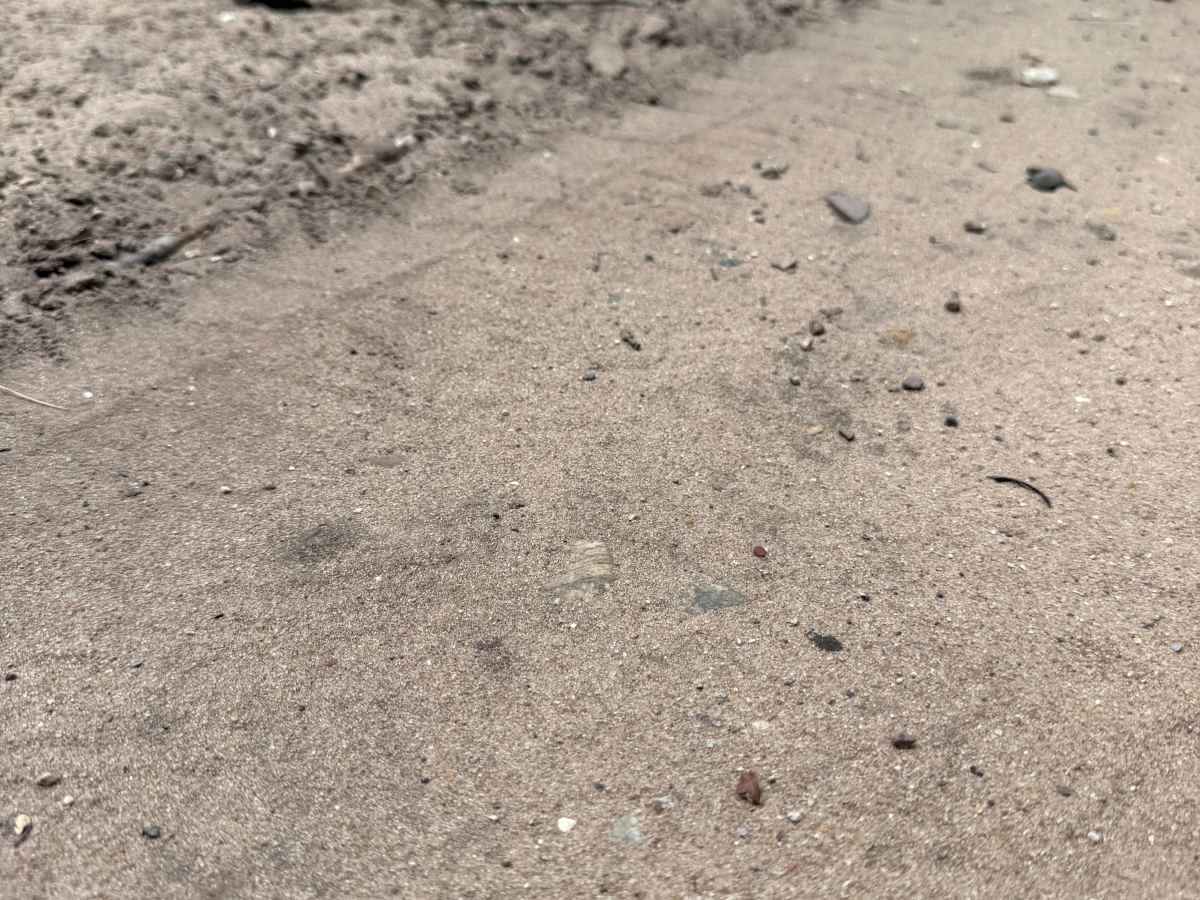
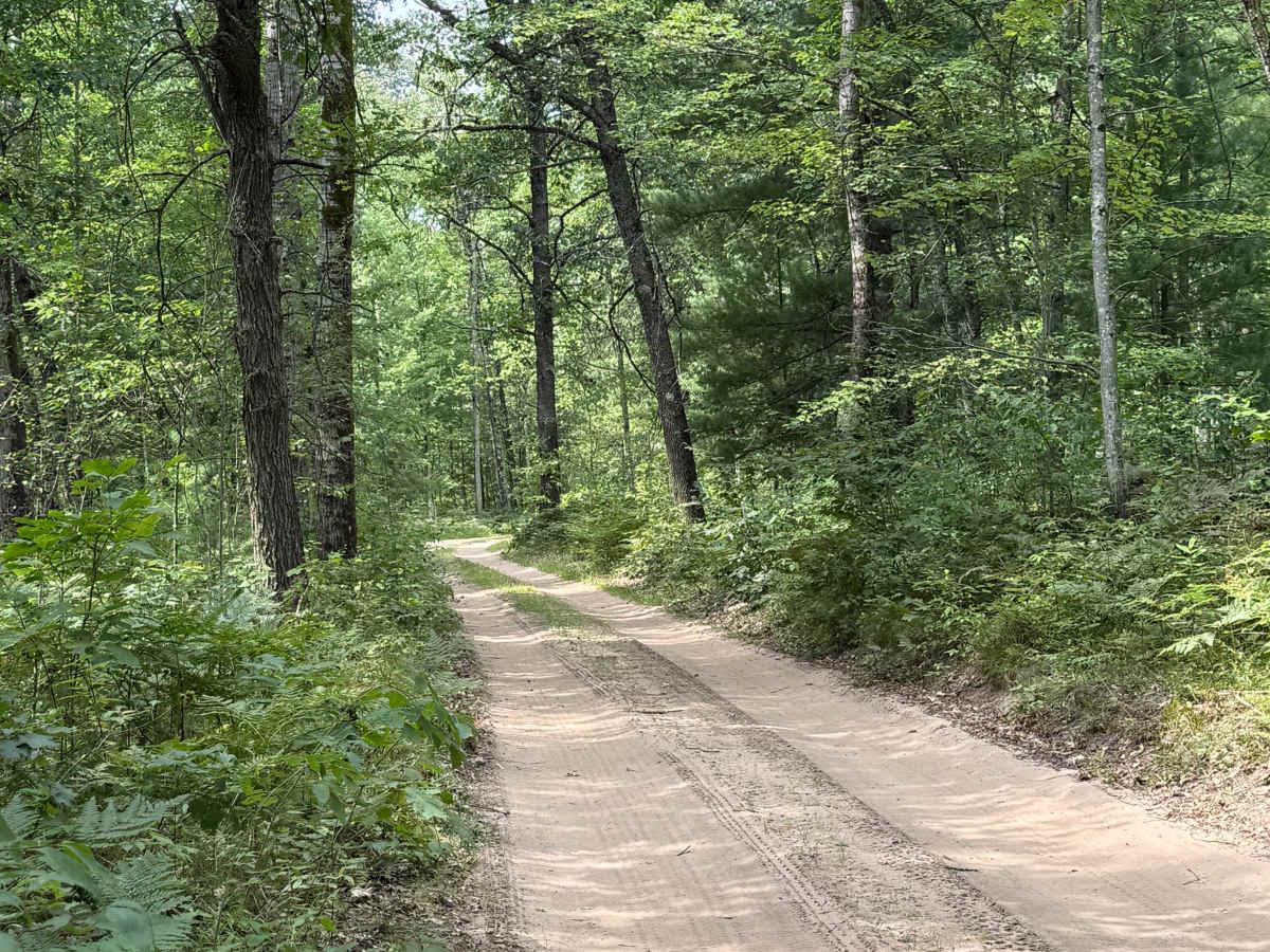
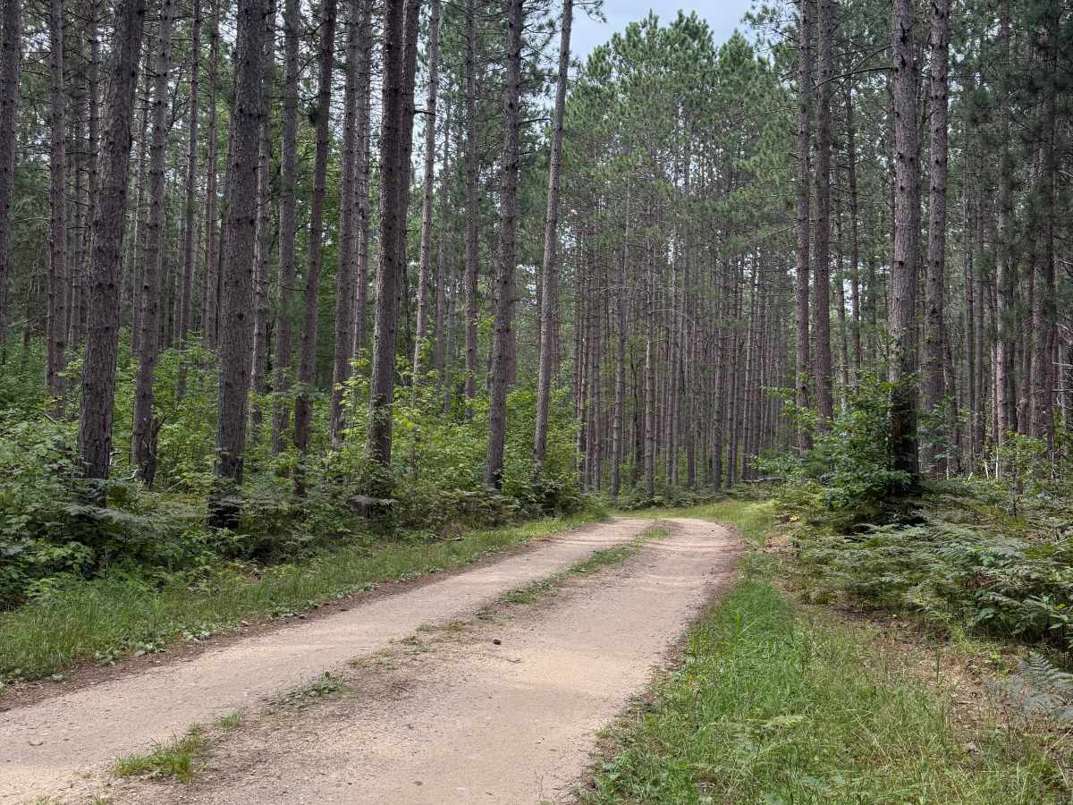
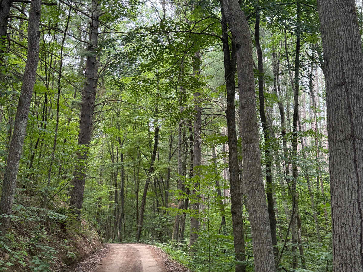
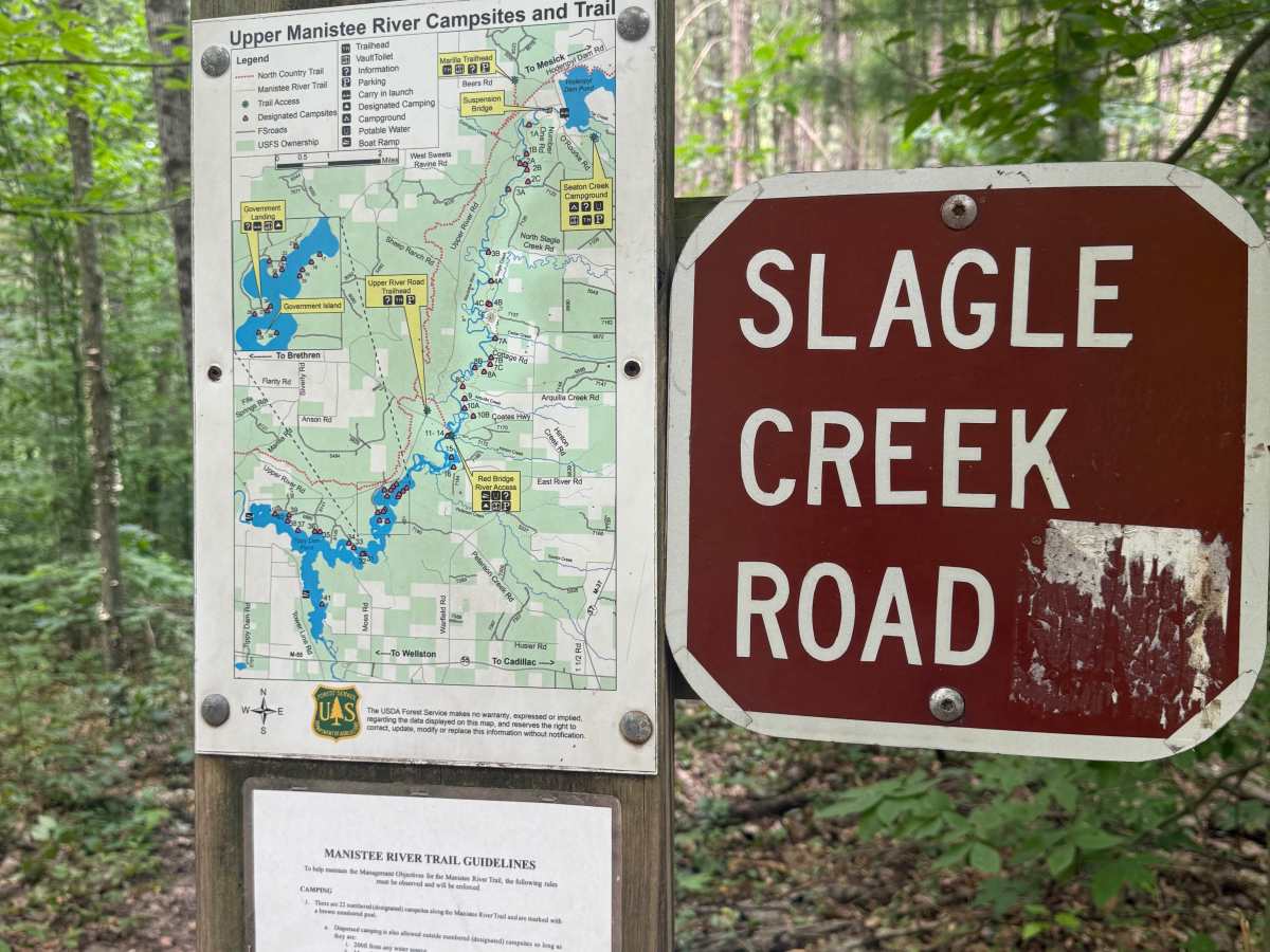
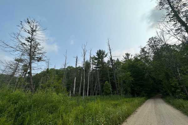
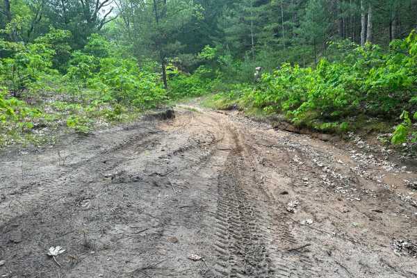
FS 7526 is a very unique and awesome "out and back" trail within the Manistee National Forest. Located west of the town of Harrietta near the Manistee River, this trail is easily accessible. Most of the trail is a combination of sand and dirt. This trail is closed to off-road vehicles such as SxS, dirt bikes, ATVs, etc. Highway Legal Vehicle use only. Starting out, you'll begin on a classic Michigan two-track with a gorgeous section of towering pine tree rows that are so beautiful to look at. As you continue, the trail descends in elevation all the way to the end. At one point, the trail runs along a ravine which leads down to Dead Creek. It's a unique spot, but a narrower section of the trail. You'll eventually get to Slagle Creek Road, which offers dispersed camping along the Upper Manistee River and along the Manistee River Trail. Please refer to their posted guidelines for any necessary information. The end of this route finishes with a parking area where you can take a very short walk on a trail to an overlook of a bend in the Manistee River, and there's also a footpath down to the river. Just like anywhere on these beautiful lands, PLEASE TREAD LIGHTLY and be respectful of our public lands so future generations can have access to these trails! Like most of Michigan trails, conditions are dependent on the weather. Recent rainfall can cause downed trees, washouts, & mud holes. Most of this trail is only wide enough for 1 vehicle with limited places to pass. This is not a difficult trail at all, but it offers incredible views and other fantastic recreation with a lot of fun to be had! This is a pretty unique type of trail in Michigan. Regardless of the length, difficulty, or conditions, this is an amazing trail for everyone to experience!