Trail Overview
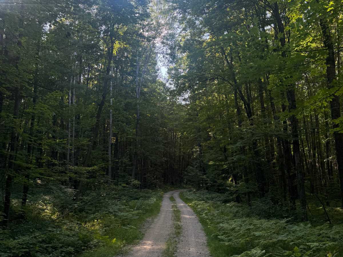
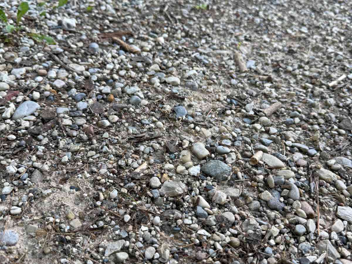
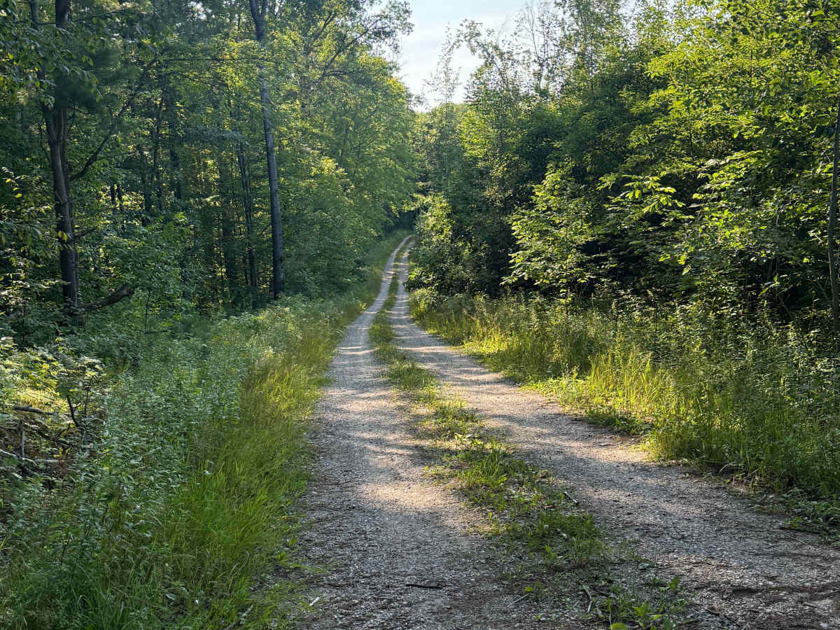
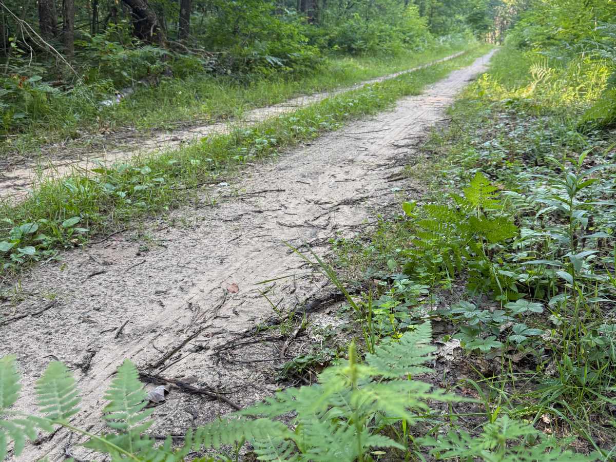
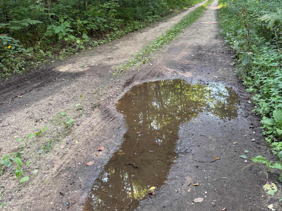
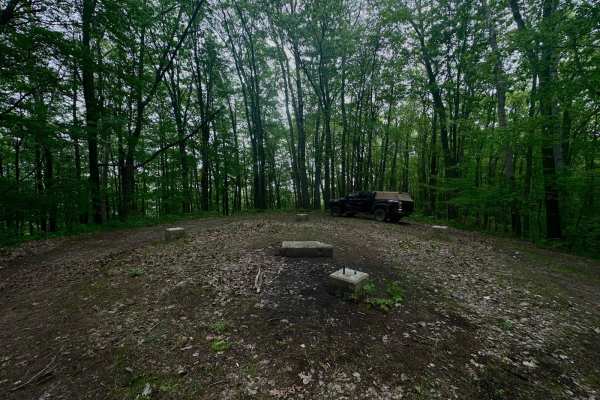
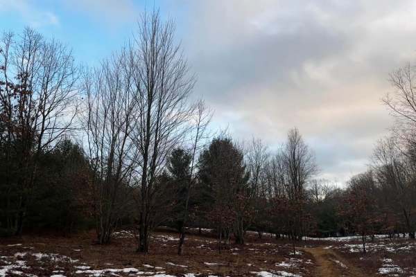
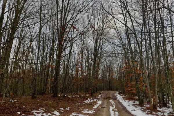
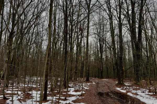
FS 5481 is a laid-back and scenic 2.1-mile bidirectional trail within the Manistee National Forest. Located between Marilla Road and Pole Road, this trail is easily accessible whether you are at the beginning or end of your journey. This trail surface consists mostly of gravel, with some dirt and sand mixed in. This route twists through a beautiful portion of the forest. I was completely taken aback by the scenery along this trail because it was truly awe-inspiring. The trail is easygoing with no obstacles to note other than one rutted water section. There are a couple of places along the route where the track narrows with some tighter trees, but that's about it. Like most Michigan off-road trails, conditions are dependent on the weather. Recent rainfall can cause unfavorable conditions on the trail, including downed trees, mud holes, and washouts. Come Prepared! This is not a difficult trail at all, but it contains a lot of beauty and gives access to local hiking, hunting, and recreation. Regardless of the length or conditions of this trail, it's a scenic and fun route to check out. As always, PLEASE TREAD LIGHTLY and be respectful of our public lands so future generations can have access to these trails!