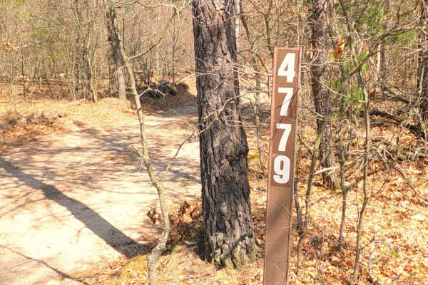
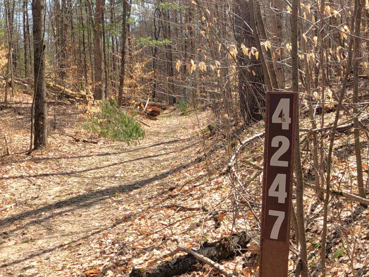
FS 4247

Total Miles2.4
Technical Rating
2Easy
Best TimeSpring, Summer, Fall
Trail TypeFull-Width Road
Accessible By
Open Trail Map

Trail Overview

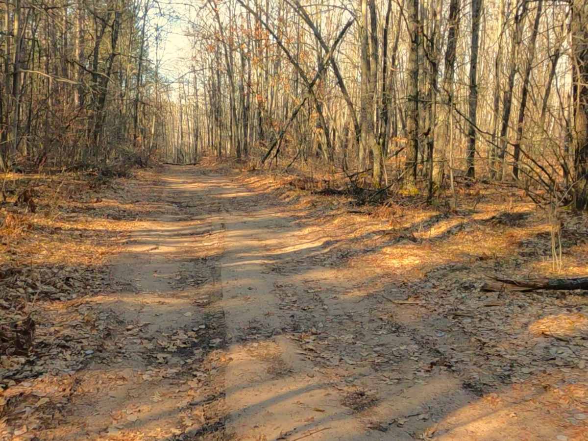
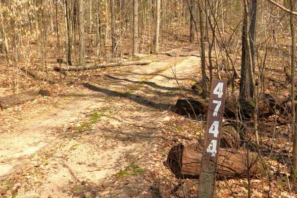
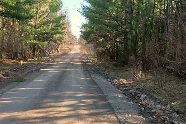
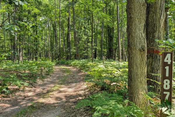
Federal Forest Service Road (FS) 4247 is a federally owned/ locally maintained, Level-2/ Level-3 forest road with a surface composition of dirt, sand, gravel and native material. This route is currently open and in fair condition; it is not a DNR road (ORV use is subject to local government regulations). It traverses through the Huron National Forest, connecting FS 4241 to FS 4187, FS 4530 and Dead Ends at Stewart Creek. Description created on April 14, 2025.

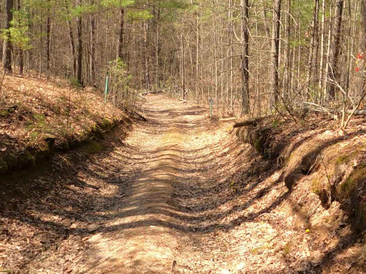
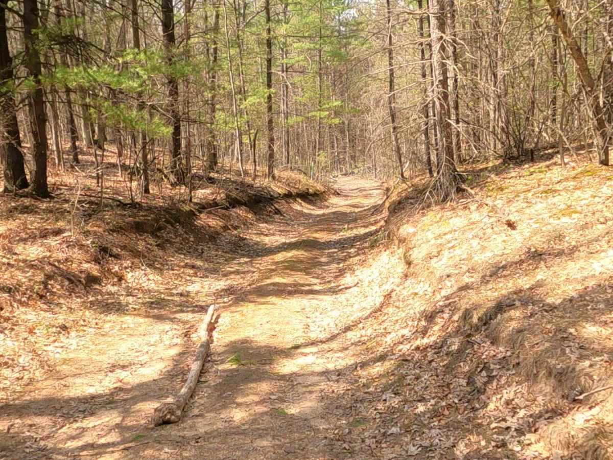
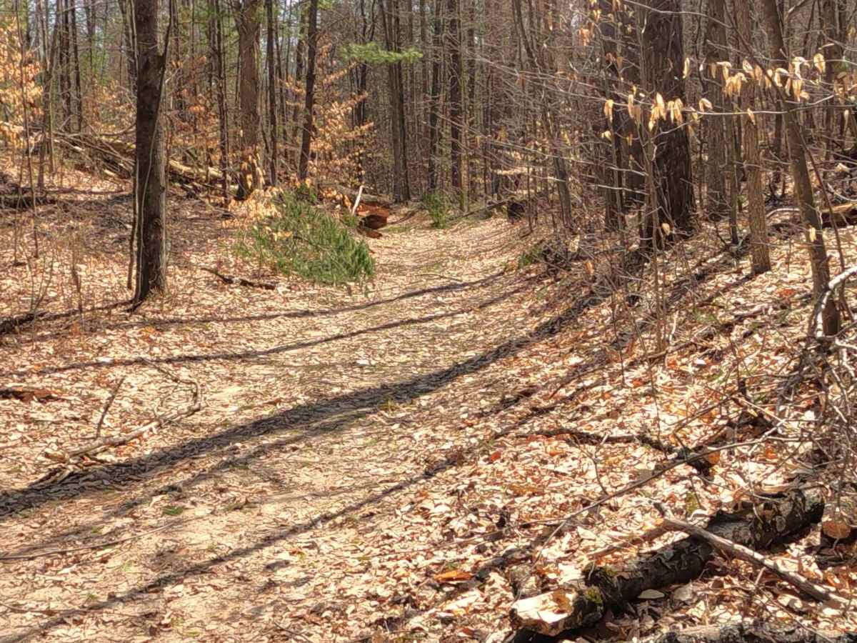
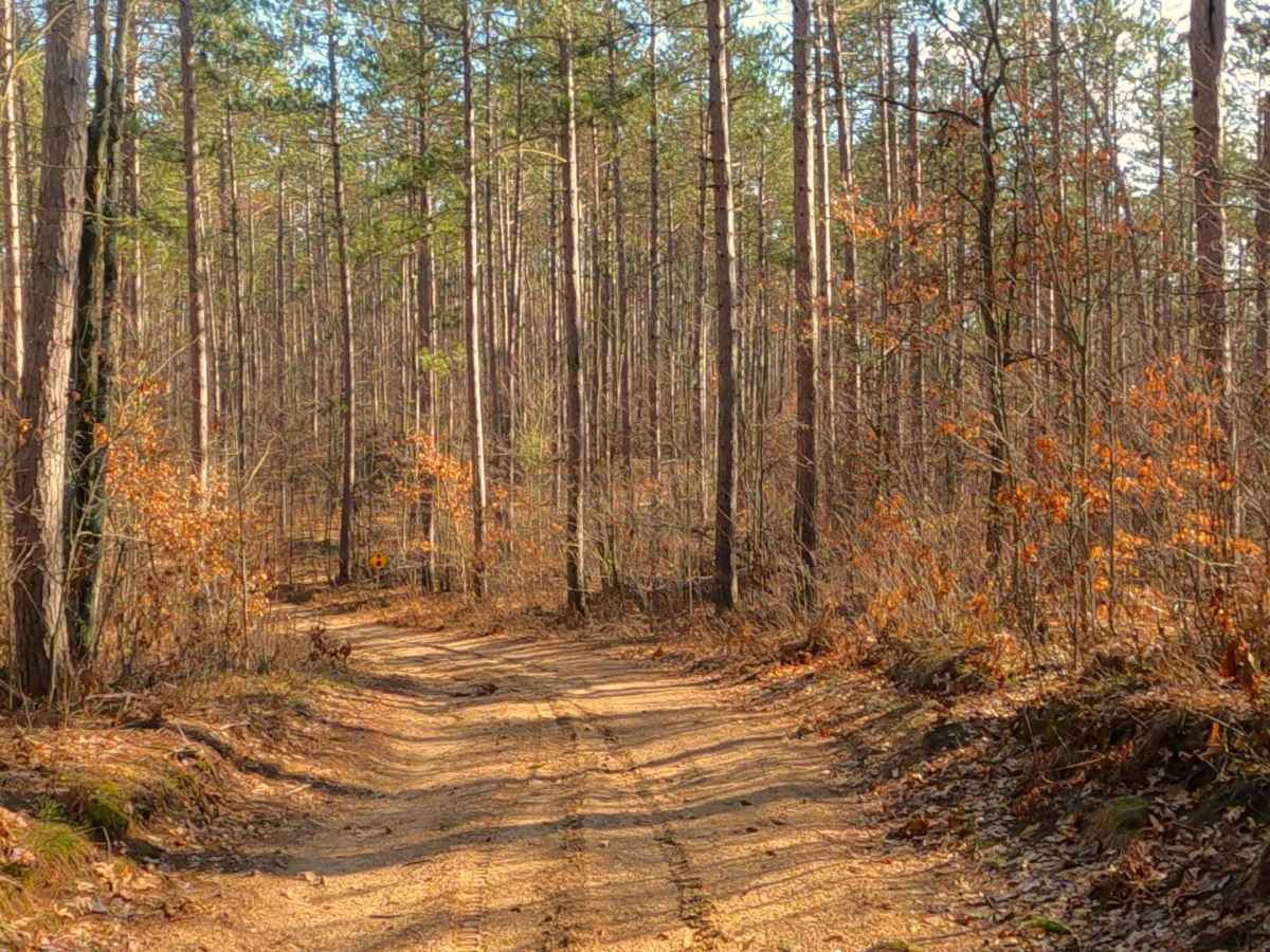
Photos of FS 4247

Difficulty

Dirt, gravel, and sand path, typically unmaintained after rain or snow that may give rise to shallow water crossings and obstacles under 12” on the trail, including small ledges. This route narrows down to a "Two-Track" that is one vehicle in width.

Technical Rating

2

Status Reports

Add Status Report
Keri Porter
Jul 30, 2026
2008 Jeep Wrangler
Temporarily Closed
Trail Restoration
At the trail head there is a No Motorized Vehicle sign. Not sure why. I did see a few mud holes 100 yards in but they looked very passable.

FS 4247 Trail can be accessed by the following ride types:

  • Single Track
  • 50 Inch
  • 60 Inch
  • High Clearance
  • Full Width

FS 4247 Map

The onX Offroad Difference

onX Offroad combines trail photos, descriptions, difficulty ratings, width restrictions, seasonality, and more in a user-friendly interface. Available on all devices, with offline access and full compatibility with CarPlay and Android Auto. Discover what you're missing today!

Open Trail Map