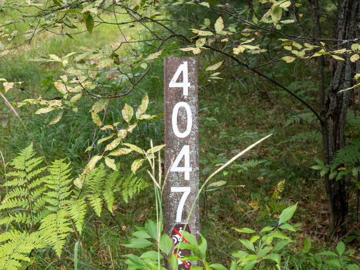
FS 4047

Total Miles1.4
Technical Rating
3Easy
Best TimeSpring, Summer, Fall
Trail TypeFull-Width Road
Accessible By

Open Trail Map

Trail Overview

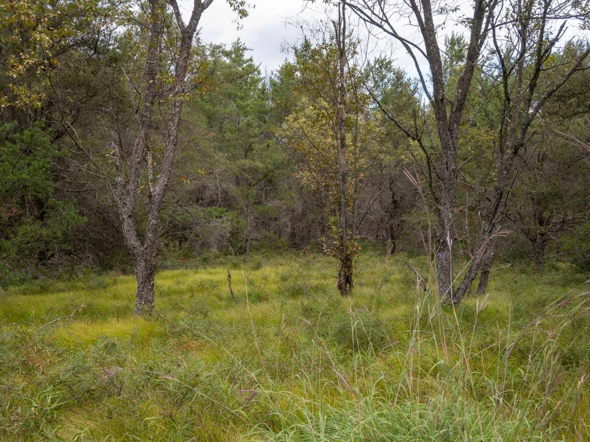
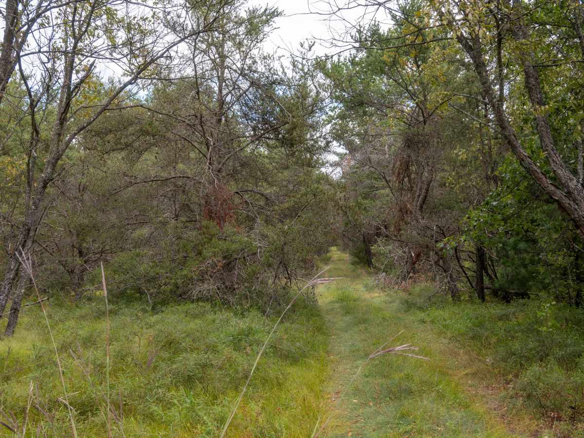
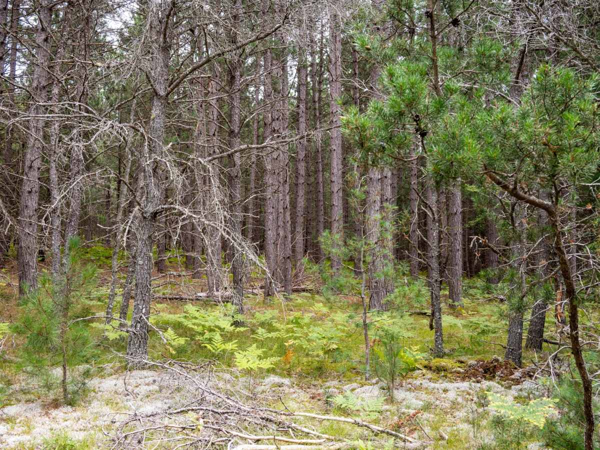
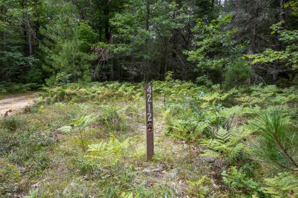
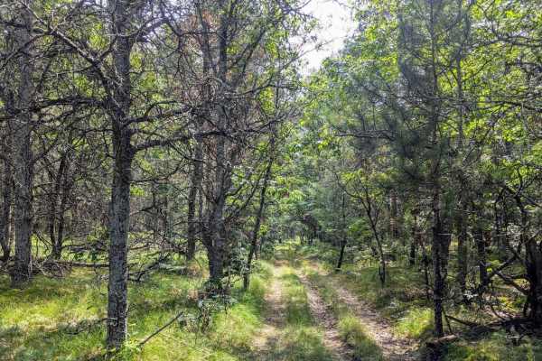
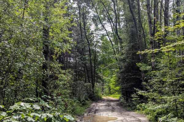
This scenic two-track trail travels through dense pine forest, with much of the route overgrown with grass and vegetation. The trail is not frequently traveled, offering opportunities to see wildlife and enjoy views of the surrounding forest. The route is not particularly challenging aside from a large mud puddle near the east end by M-18, which can worsen after rainfall. The trail is tight and heavily wooded, requiring careful driving and making pinstriping on your vehicle likely. The west end is accessed from River Lake-NFS 4210, while the east end connects to M-18. Stay on the established trail and avoid widening the route around vegetation or muddy sections. Following Tread Lightly and Leave No Trace principles helps protect this less-traveled area.

Photos of FS 4047

Difficulty

This route is not particularly challenging other than the large mud puddle on the east end near M18. But this route requires careful driving because of how tight and dense the surrounding forest is. This trail will almost certainly leave pin striping on your rig.

Technical Rating

3

FS 4047 Trail can be accessed by the following ride types:

  • Single Track
  • 50 Inch
  • 60 Inch
  • High Clearance
  • Full Width

FS 4047 Map

The onX Offroad Difference

onX Offroad combines trail photos, descriptions, difficulty ratings, width restrictions, seasonality, and more in a user-friendly interface. Available on all devices, with offline access and full compatibility with CarPlay and Android Auto. Discover what you're missing today!

Open Trail Map