Trail Overview
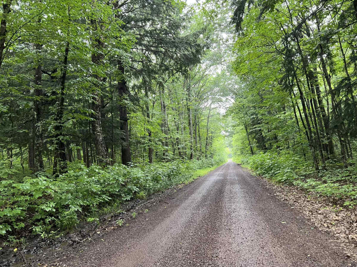
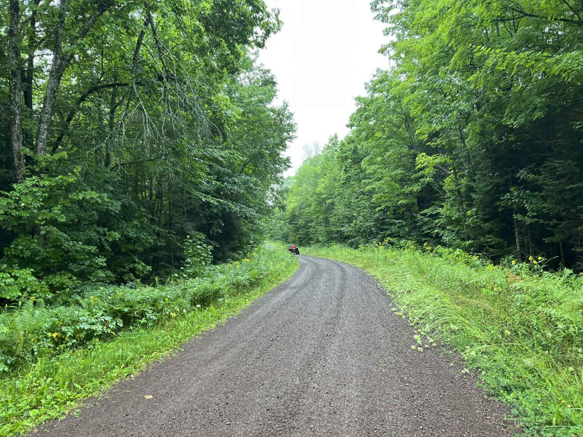
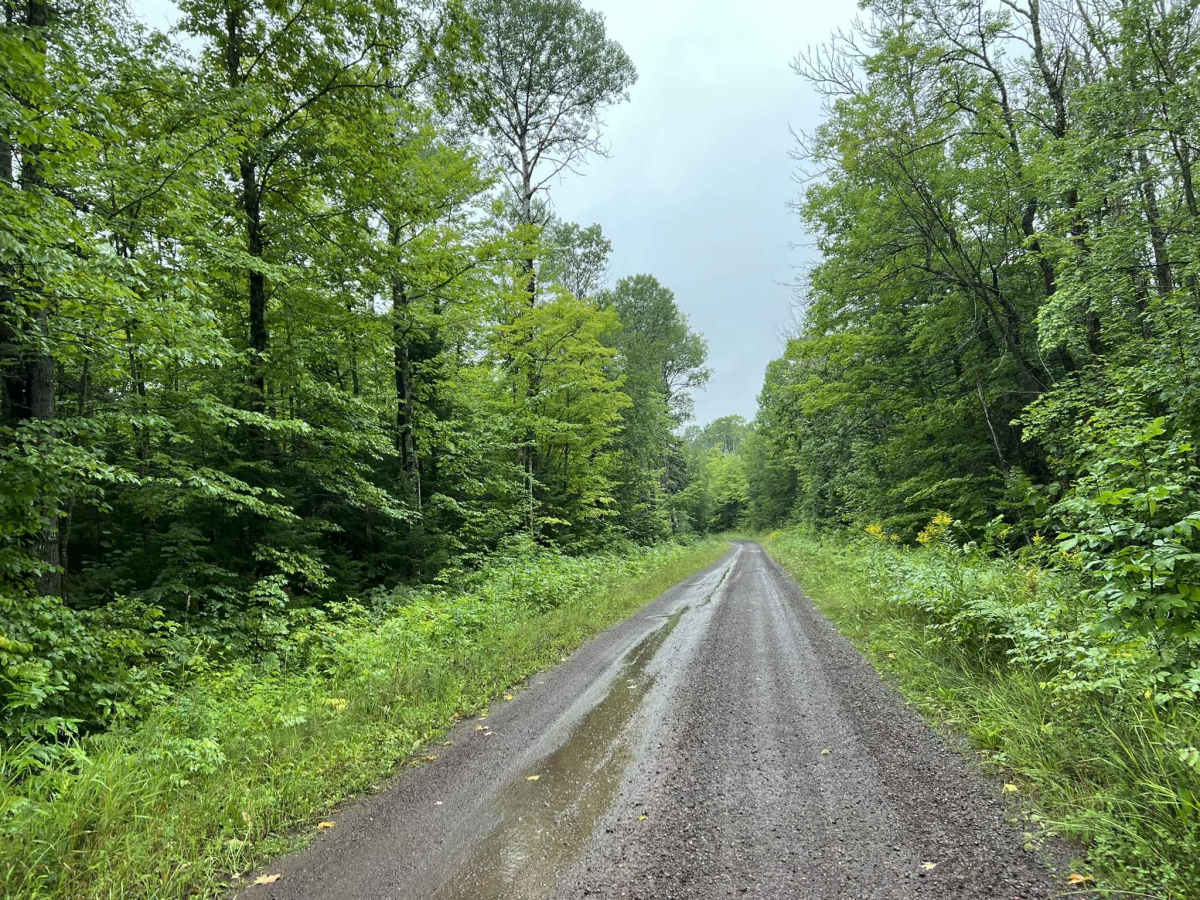
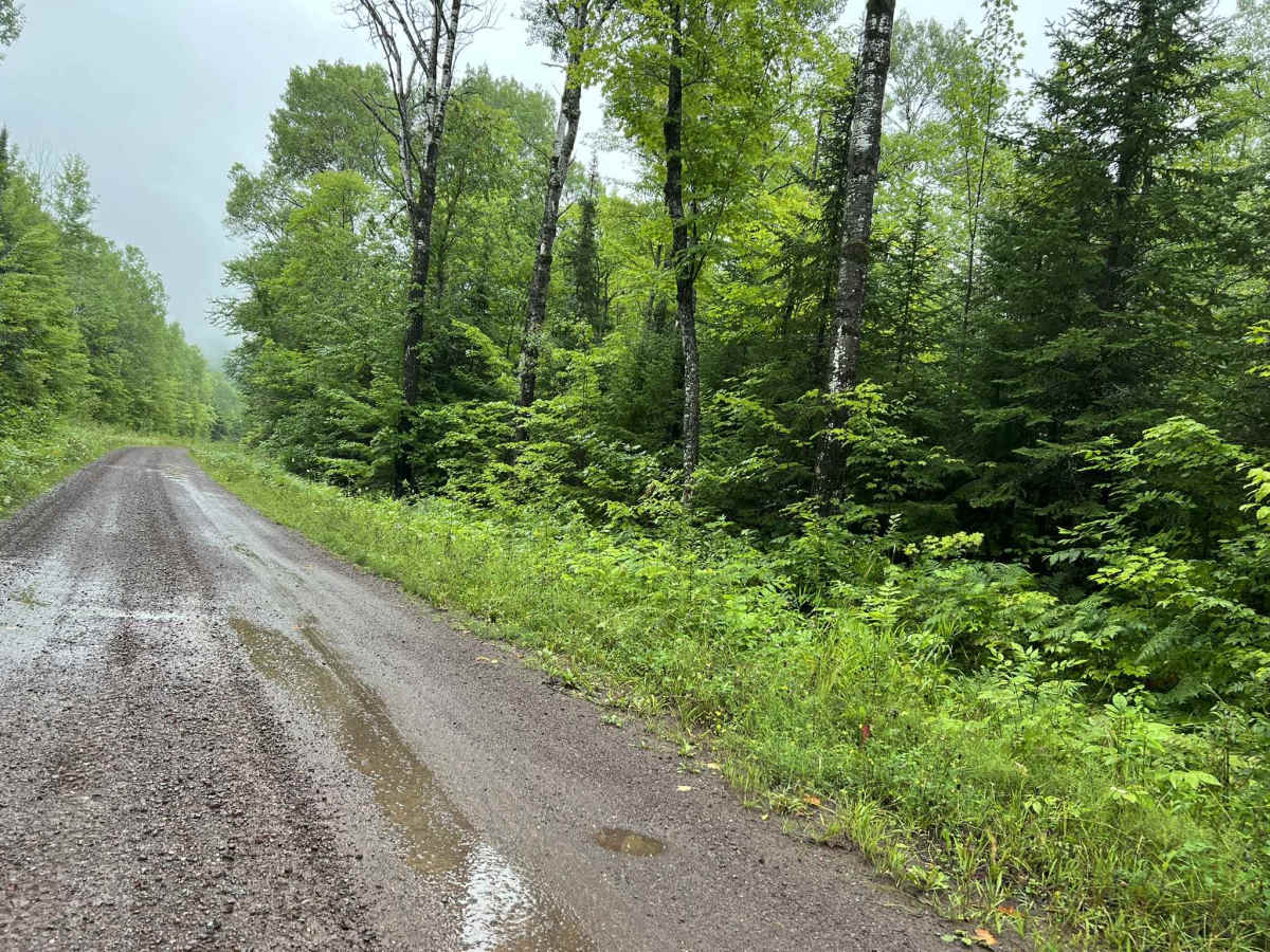
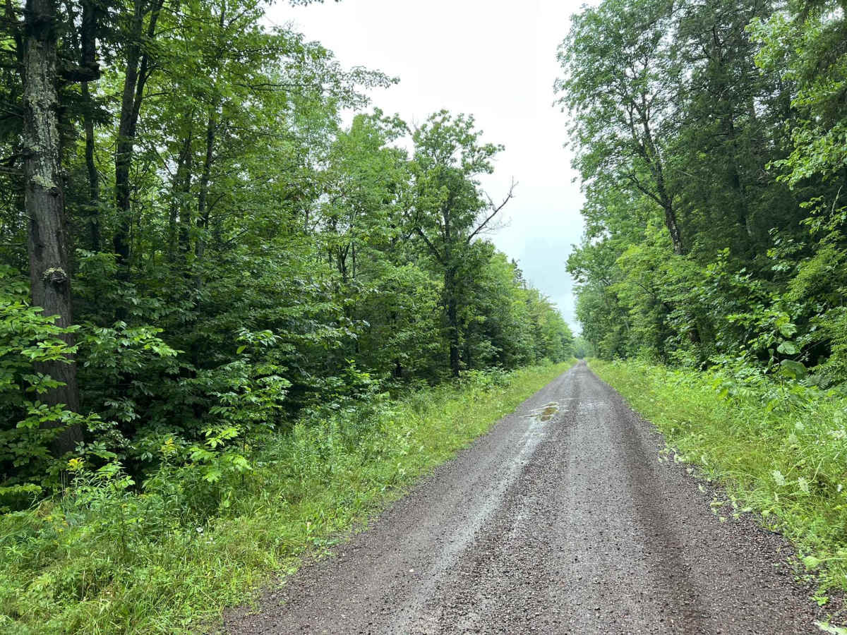
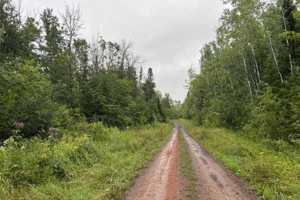
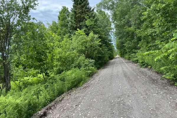
This is FDR 630 located in Ontonagon County, Michigan. This trail navigates from its intersection with FS60034 and FDR639 to its intersection with Norwich Road. This trail is a well-maintained forest road that travels through mature Upper Peninsula forests. Sight lines throughout the trail are okay to good in most areas. Additionally, there are also very few obstacles on this trail, so it can be navigated by less experienced or less capable vehicles. The trail itself has several switchback sections as well as a good amount of subtle, rolling elevation changes. The scenery along the way is similar to other trails in the area, being dense forests with large amounts of undergrowth. Some areas of the trail have a forest canopy over them, hiding the trail from direct sunlight. FDR 630 provides access to several other trails/ trail systems in the area and can be used to quickly navigate from one area to another. Like most areas in the Upper Peninsula, this trail lacks reliable cell service, so riding with downloaded maps is an excellent idea. A portion of Trail FDR 630 is open as a groomed snowmobile trail from December 1st - March 31st.
Difficulty
This trail can be easily completed by all skill levels of riders, as well as types of vehicles. Other than narrow sections, the trail remains quite mild and inviting to newer or less experienced riders. These narrow sections will require vehicles to pull over and stop or slow down to allow passing. They also create several blind spots around various corners on the trail. The surface is forgiving and allows for excellent traction throughout. Besides a few potholes that fill with water, this trail remains mostly dry.