East Stratford Rd

Total Miles5.5
Technical Rating
4Moderate
Best TimeSpring, Summer, Fall, Winter
Trail TypeFull-Width Road
Accessible By
Open Trail Map

Trail Overview

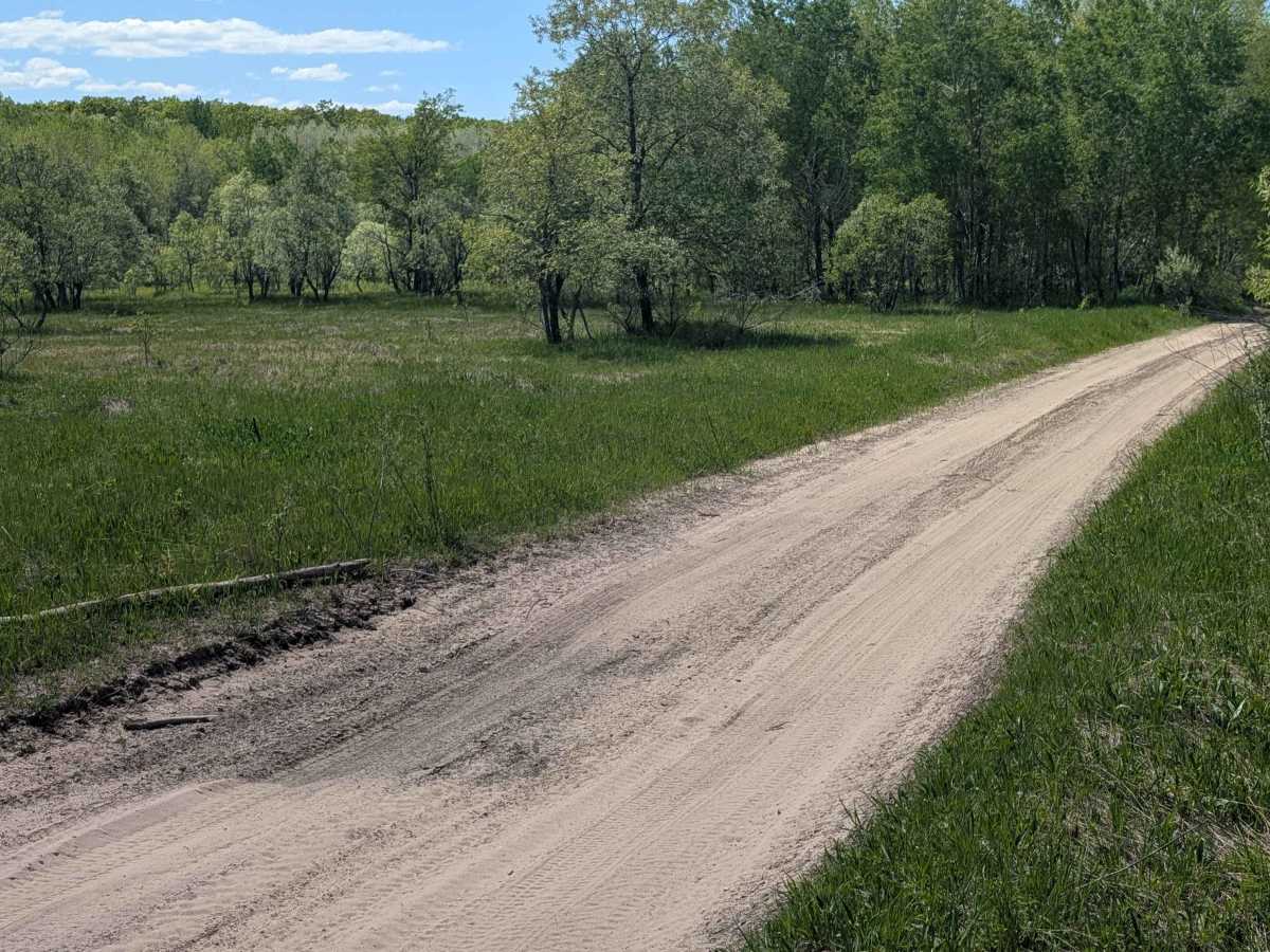
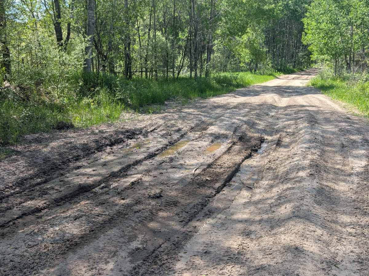
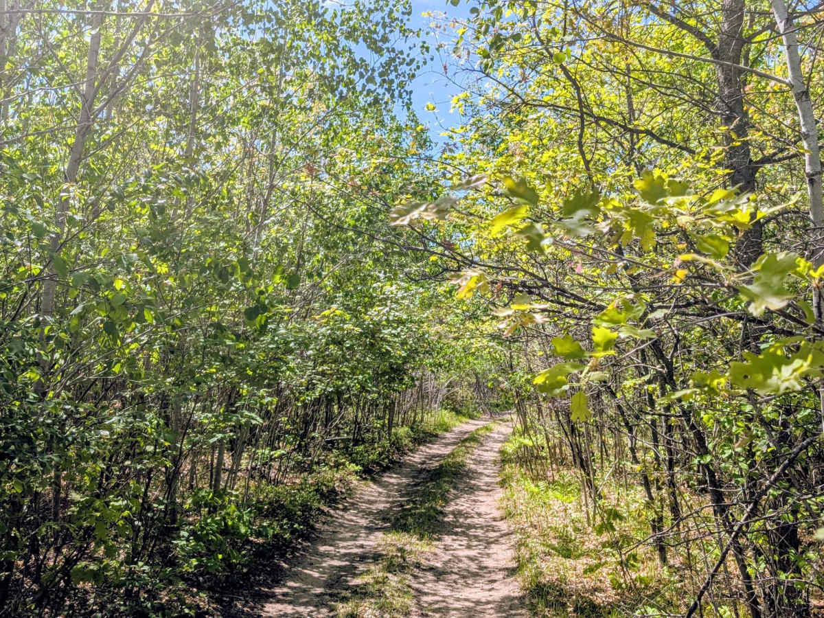
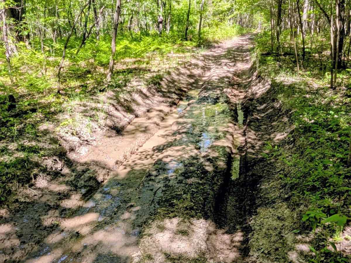
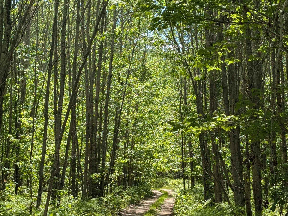
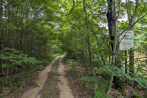
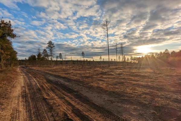
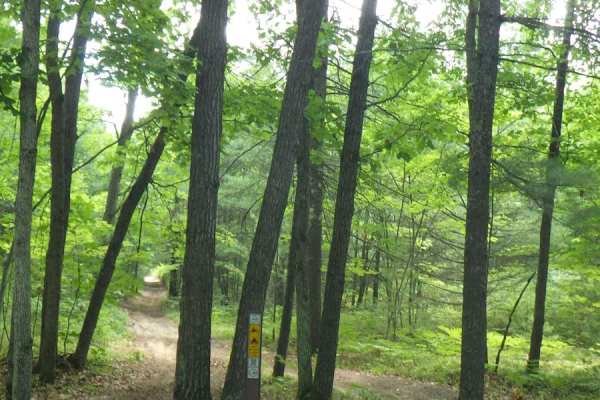
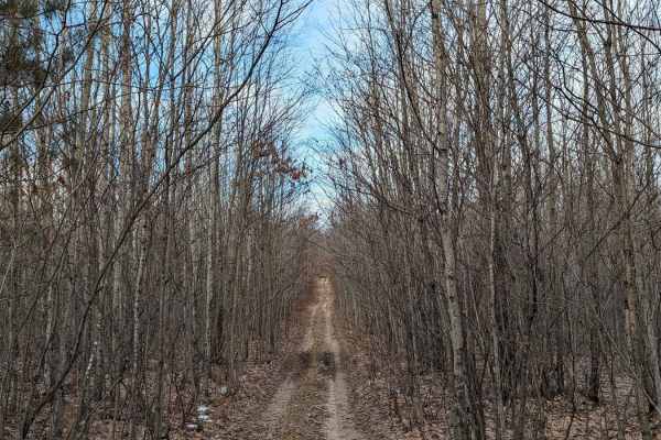
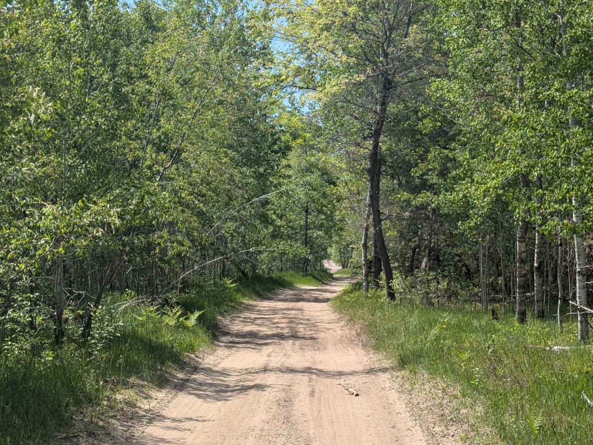
This trail runs east to west from Grayling Road to North 13 Mile Road near the Stratford village historical site. A good portion of the trial is Sandy, but some areas are marshy and have standing water 12-18" deep. A portion of the trail was overgrown, so drivers can expect some of that good 'ol Michigan pinstriping.

Photos of East Stratford Rd

Difficulty

There are deep water holes 12 - 18" deep, the trail is sandy. There was a portion with overgrown vegetation as well.

History

The Stratford Village Historical Site: This town originated in 1897 with the purchase of 13400 acres of virgin red and white pine by the Thayer Lumber Company. A railroad came the same year and hauled logs six days per week for twelve years. In 1908 the last of the pine logs were hauled and Stratford became deserted the site was purchased by the State in 1937.

Technical Rating

4

East Stratford Rd Trail can be accessed by the following ride types:

  • Single Track
  • 50 Inch
  • 60 Inch
  • High Clearance
  • Full Width

East Stratford Rd Map

The onX Offroad Difference

onX Offroad combines trail photos, descriptions, difficulty ratings, width restrictions, seasonality, and more in a user-friendly interface. Available on all devices, with offline access and full compatibility with CarPlay and Android Auto. Discover what you're missing today!

Open Trail Map