Trail Overview
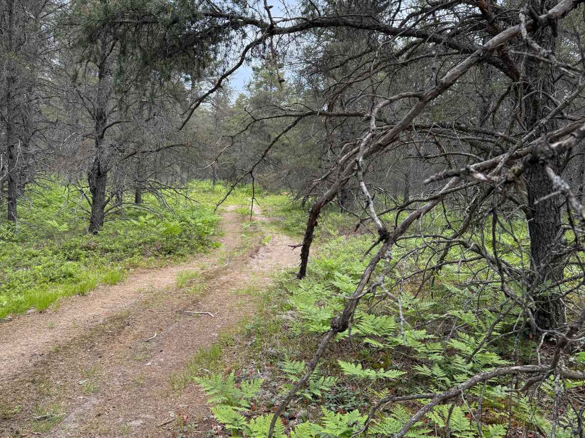
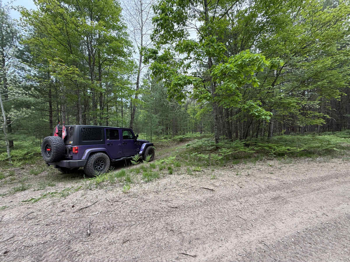
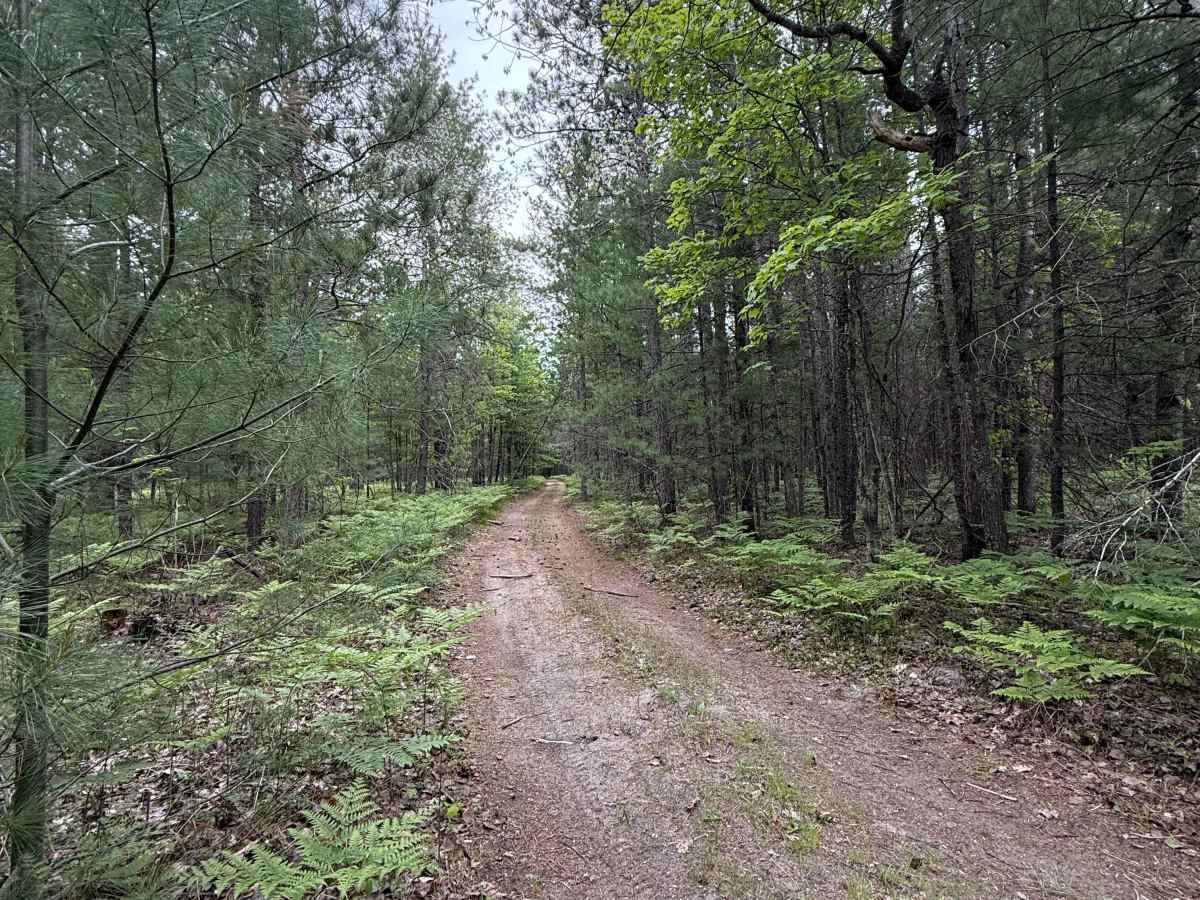
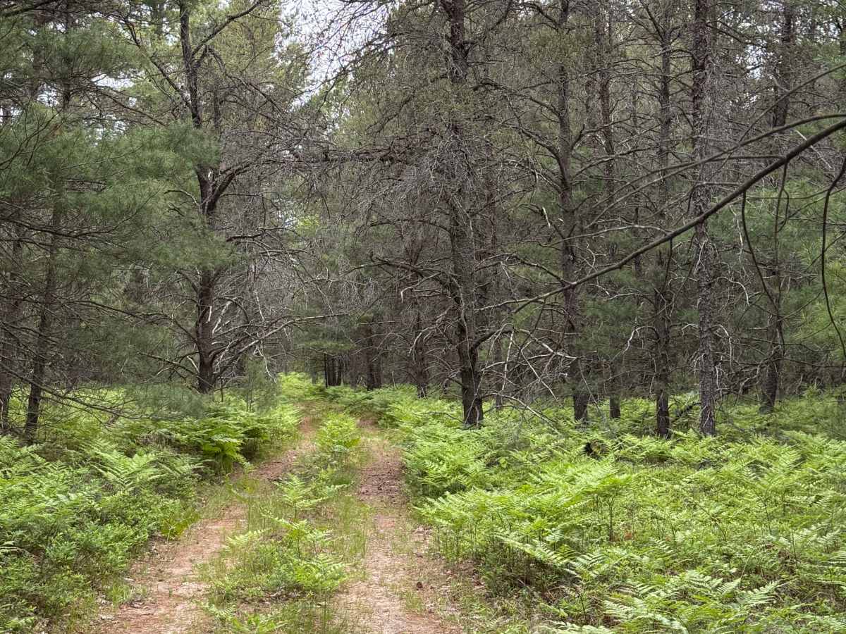
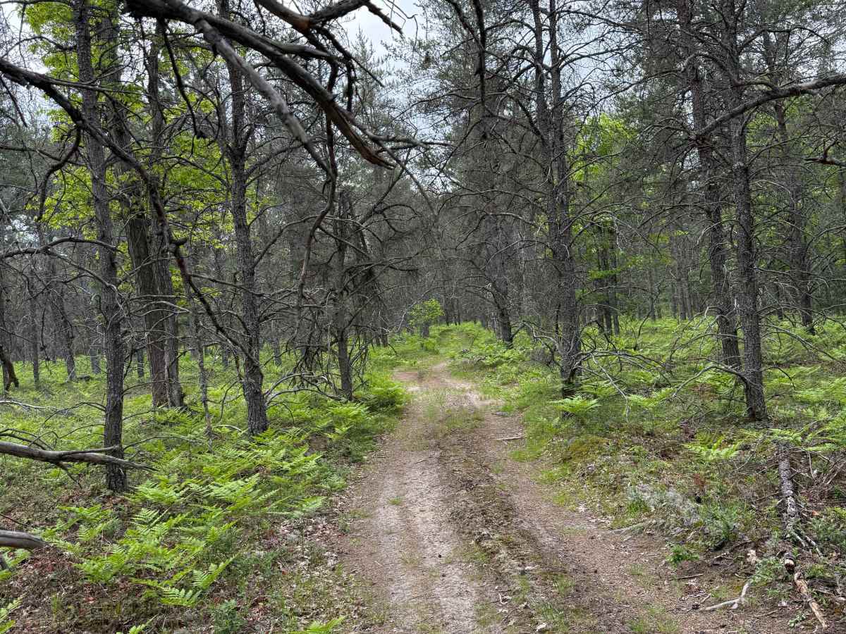
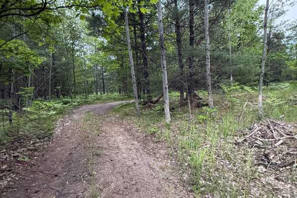
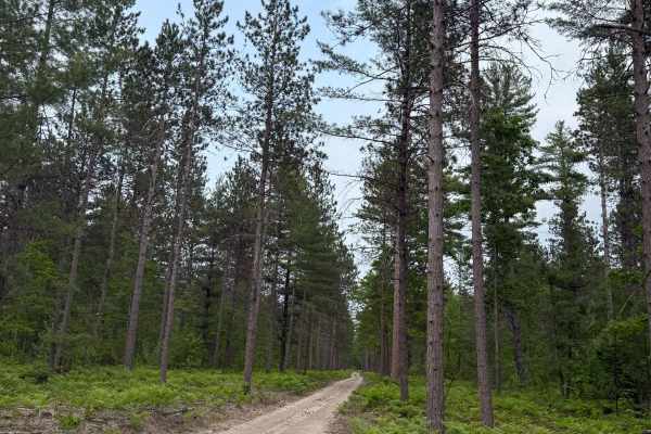
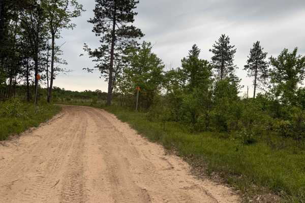
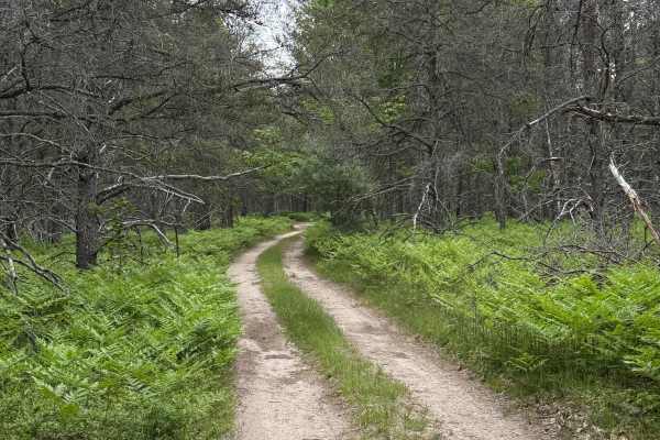
Deadwood Trail is an easy and overgrown bidirectional trail, yet scenic in its way. Located within the Traverse City Forest Management Unit near highway US-131 in Crofton, this trail is easily accessible. Starting from the southern end at the intersection of Vroom Rd, you'll start on a bumpy, sandy, dirt classical two-track in the forest. You'll weave through the trees alongside the lush vegetation edging the trail. Be sure to take it all in. Shortly after, you'll enter a thicker section of the forest, bringing a different vibe and mood to the route. This is where the overgrowty comes into play. The trees overhanging the track are relentless and don't give very much. You'll twist all around as you navigate further down the trail, trying to evade the branches. The route is open to ORVs but does require a Secretary of State license plate. Please TREAD LIGHTLY so future generations can enjoy these public spaces. Like most of Michigan trails, conditions are dependent on the weather. Recent rainfall can cause unfavorable conditions on the trail, including downed trees, mud holes, and washouts. Come Prepared! A vast majority of this trail is only wide enough for one vehicle, with only a handful of places to pass. This is not a difficult trail at all, but it contains a lot of beauty and gives access to other great trails nearby. The northern end of the trail finishes at North Crofton Rd. Regardless of the conditions of this trail, it's a wonderful route to check out! As always, again, PLEASE TREAD LIGHTLY and be respectful of our public lands so future generations can have access to these trails!