Cedar Run

Total Miles1.8
Technical Rating
3Easy
Best TimeSpring, Summer, Fall
Trail TypeFull-Width Road
Accessible By
Open Trail Map

Trail Overview

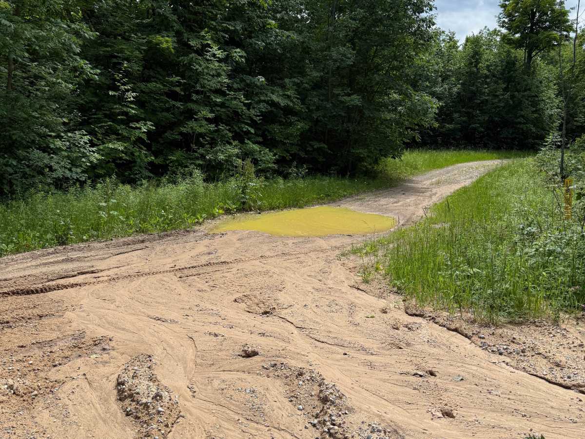
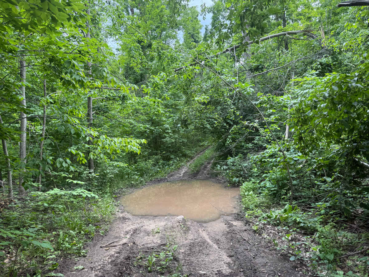
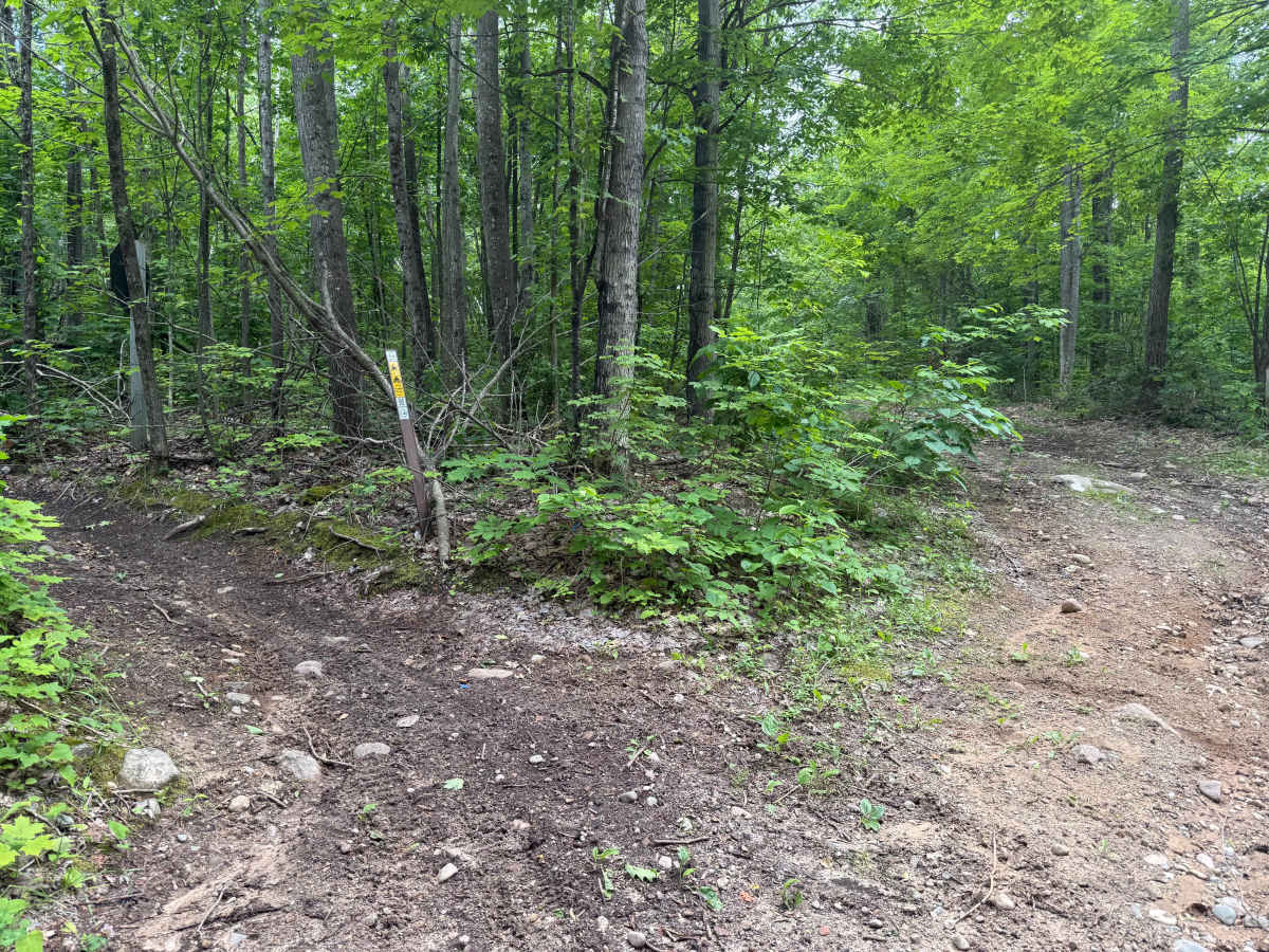
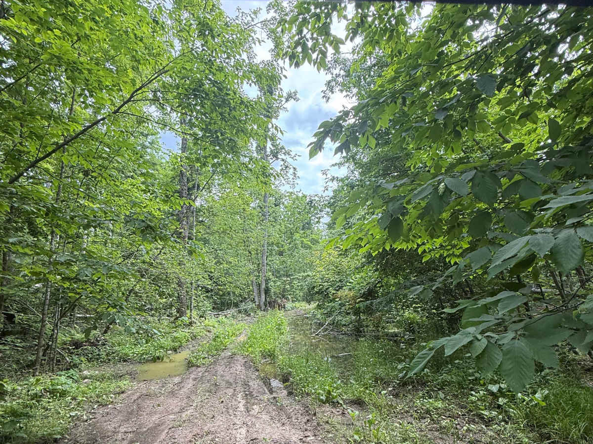
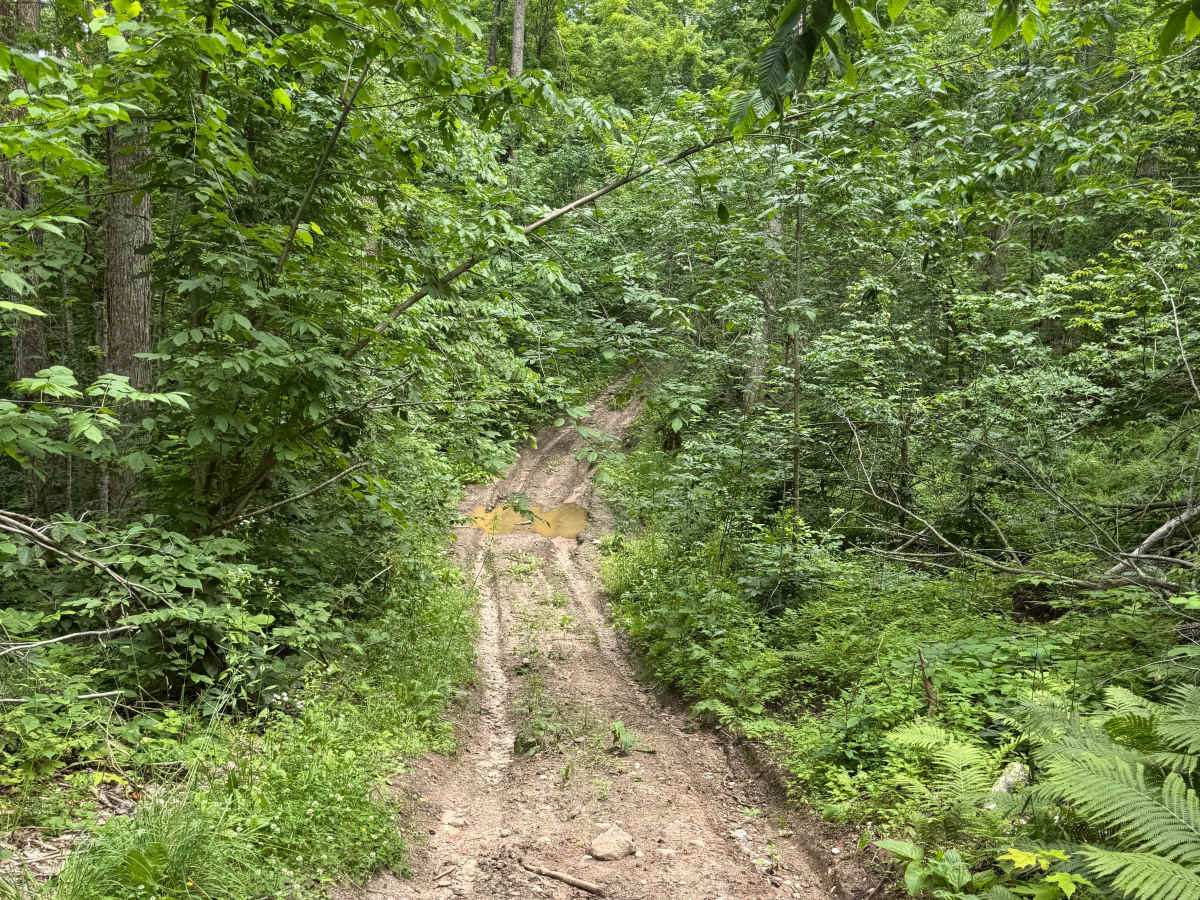
The majority of this trail is a sandy dirt base. There are several spots where water collects after a decent rain, creating nice mud holes. There are also a couple of spots with very large, deep mud holes that are persistent year-round; all of these spots have bypass options. There is also a decent hill that is rutted out, causing an off-camber climb.

Photos of Cedar Run

Difficulty

Lots of mud holes, with some deeper than others, and a nice off-camber hill make this a fun trail.

Technical Rating

3

Cedar Run Trail can be accessed by the following ride types:

  • Single Track
  • 50 Inch
  • 60 Inch
  • High Clearance
  • Full Width

Access Description

A Michigan Department of Natural Resources (DNR) ORV License and ORV Trail Permit are required to ride this route. Vehicles must also meet state equipment standards, including possessing a spark arrestor and keeping sound levels under 94 decibels.

Cedar Run Map

The onX Offroad Difference

onX Offroad combines trail photos, descriptions, difficulty ratings, width restrictions, seasonality, and more in a user-friendly interface. Available on all devices, with offline access and full compatibility with CarPlay and Android Auto. Discover what you're missing today!

Open Trail Map