Camp Trail

Total Miles0.8
Technical Rating
2Easy
Best TimeSpring, Summer, Fall, Winter
Trail TypeFull-Width Road
Accessible By
Open Trail Map

Trail Overview

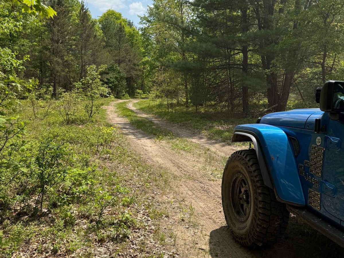
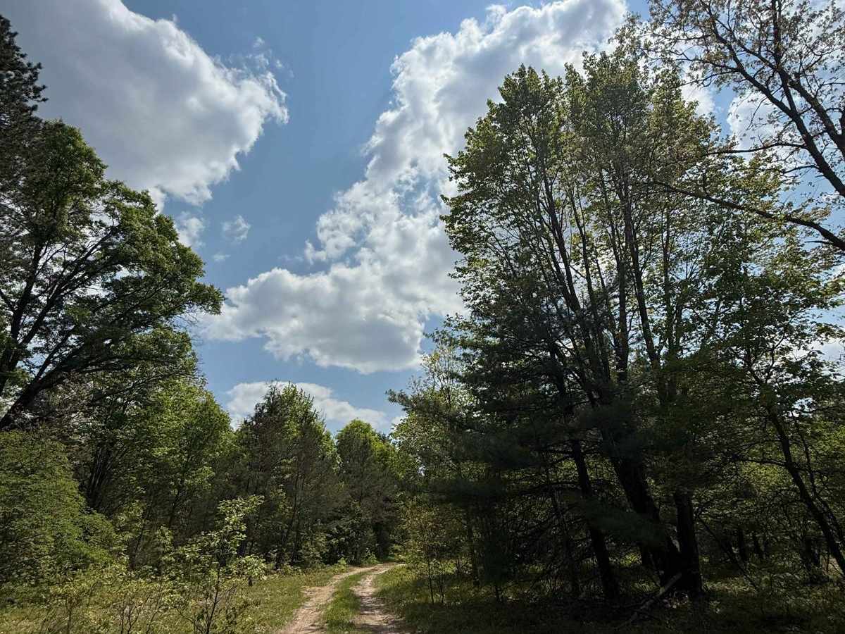
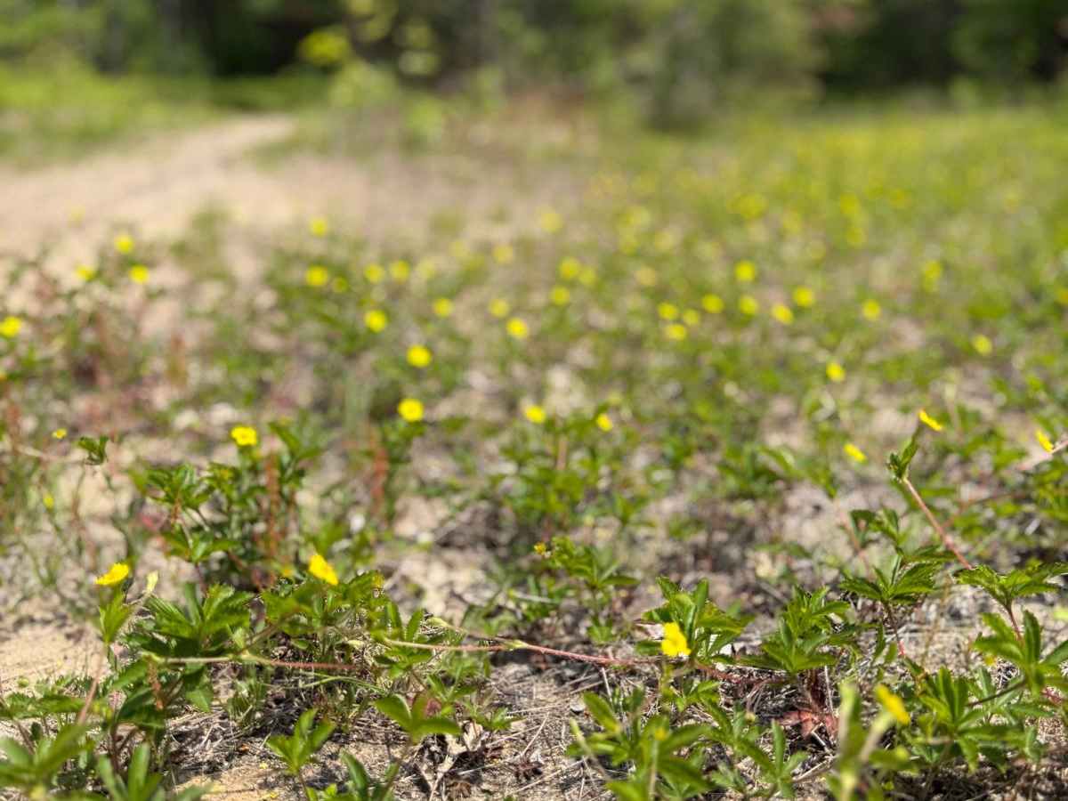
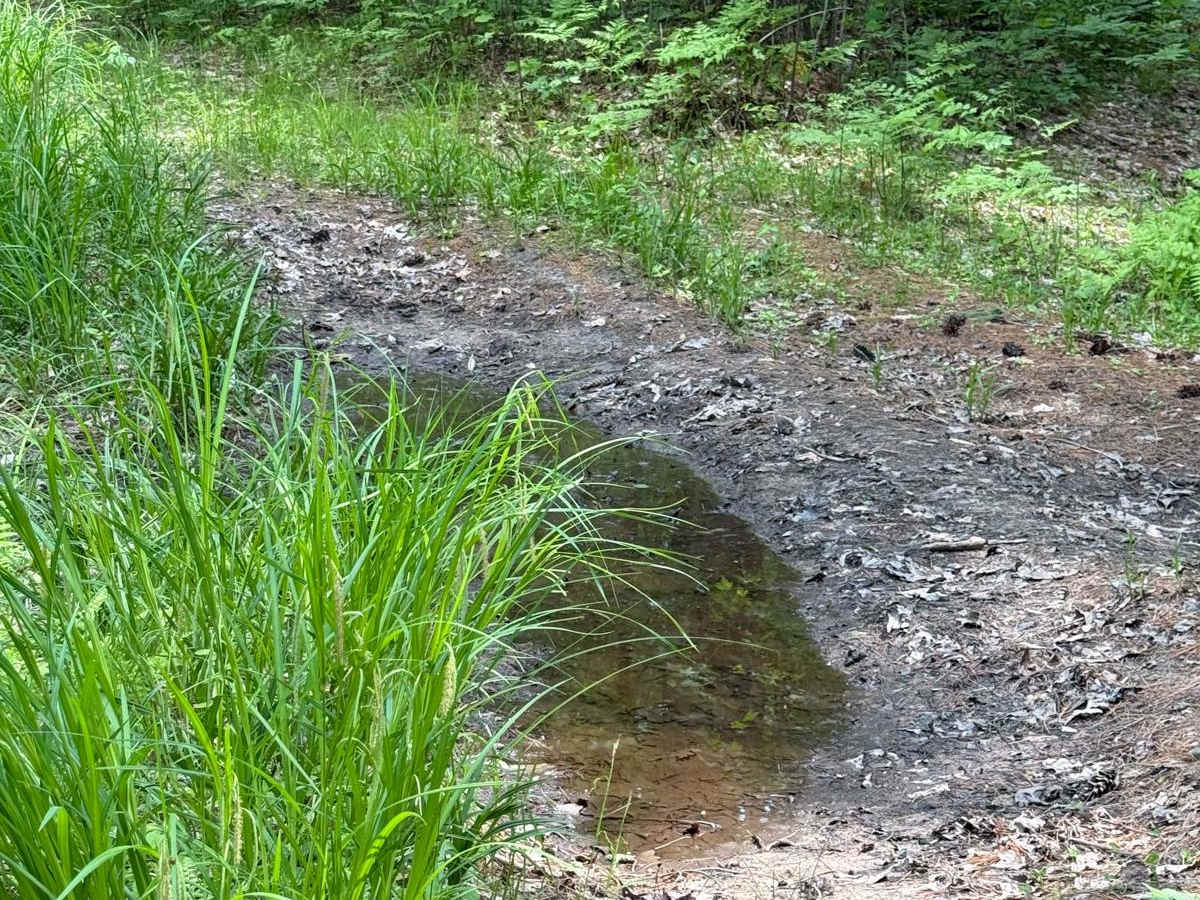
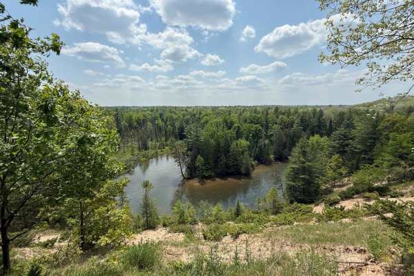
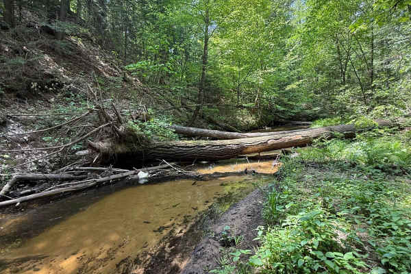
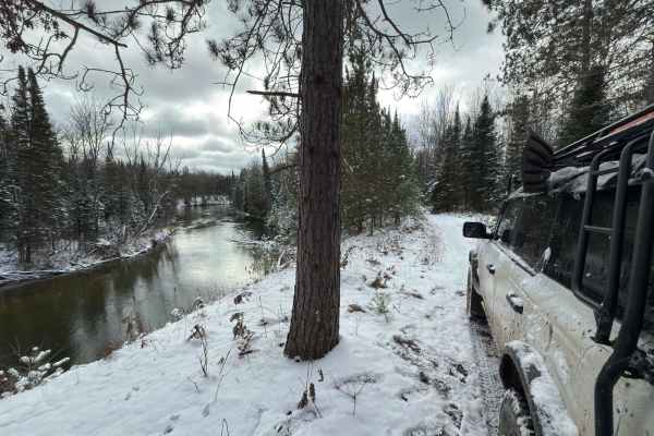
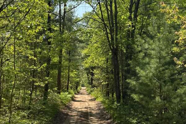
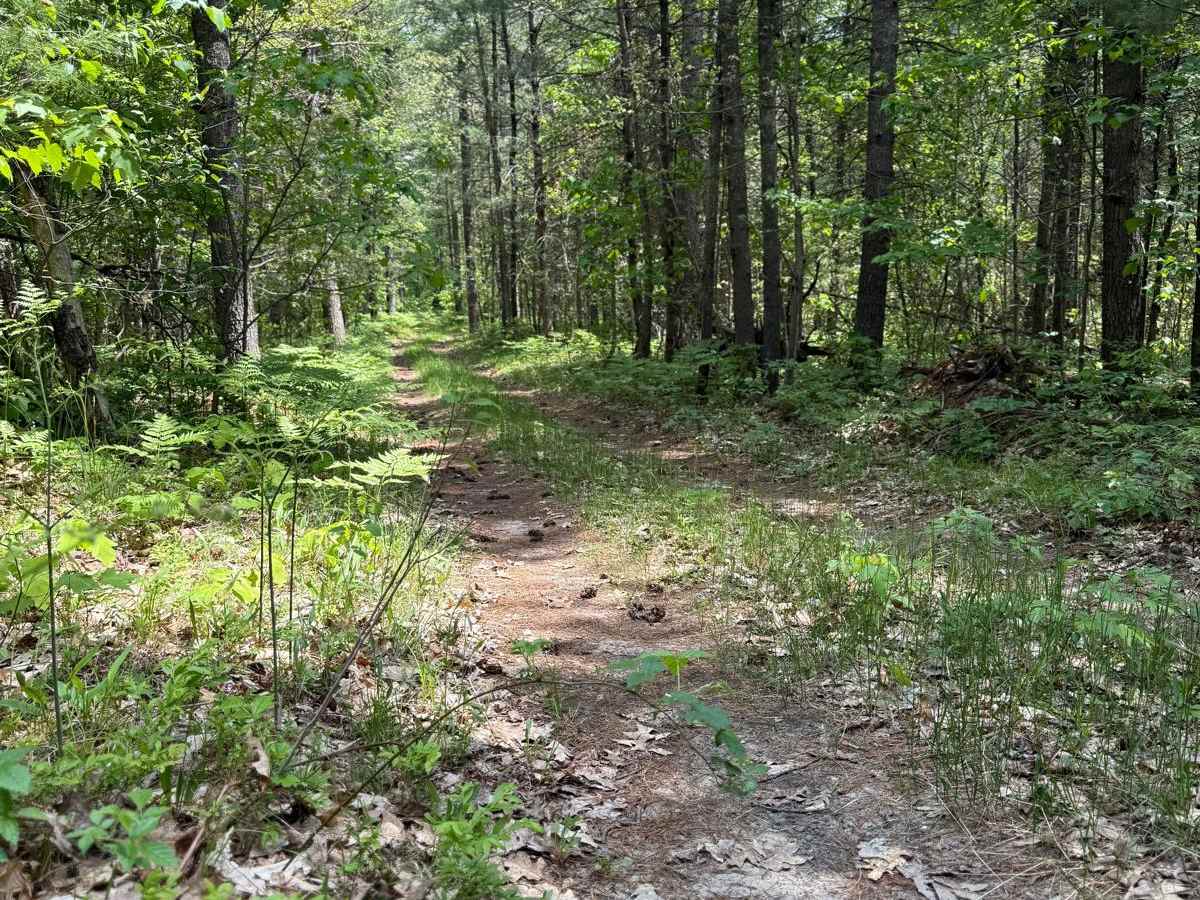
License Plate Required! Camp Trail is a fun and easy "out and back" two-track. Located just east of US HWY-131, this route is very accessible. This route starts in a dense section of the woods with plentiful space along the trail. As you continue, the trail progresses with more brush and overgrowth along the edges. The surface mostly consists of a combination of sand, dirt, and grass, and weaves through an amazing section of the Cadillac Forest Management Unit. There's a lot of lush plant life along this trail to be seen. Like most of Michigan trails, conditions are dependent on the weather. Recent rainfall can cause mud/water holes that can get rutted out quickly. Please use caution and come prepared! Most of this trail is only wide enough for 1 vehicle with limited places to pass. Eventually, the route will open up at the end of the trail in a large open field for dispersed camping. If you plan on dispersed camping, PLEASE TREAD LIGHTLY, and seek more information at the local DNR Office/Ranger Station before camping here. Regardless of the conditions, this is a great trail for everyone!

Photos of Camp Trail

Difficulty

This was only given a Technical Rating & Difficulty of 2 due to the trail typically only being wide enough for 1 to 2 vehicles. Otherwise, this trail could be rated as a 1.

Technical Rating

2

Camp Trail Trail can be accessed by the following ride types:

  • Single Track
  • 50 Inch
  • 60 Inch
  • High Clearance
  • Full Width

Camp Trail Map

The onX Offroad Difference

onX Offroad combines trail photos, descriptions, difficulty ratings, width restrictions, seasonality, and more in a user-friendly interface. Available on all devices, with offline access and full compatibility with CarPlay and Android Auto. Discover what you're missing today!

Open Trail Map