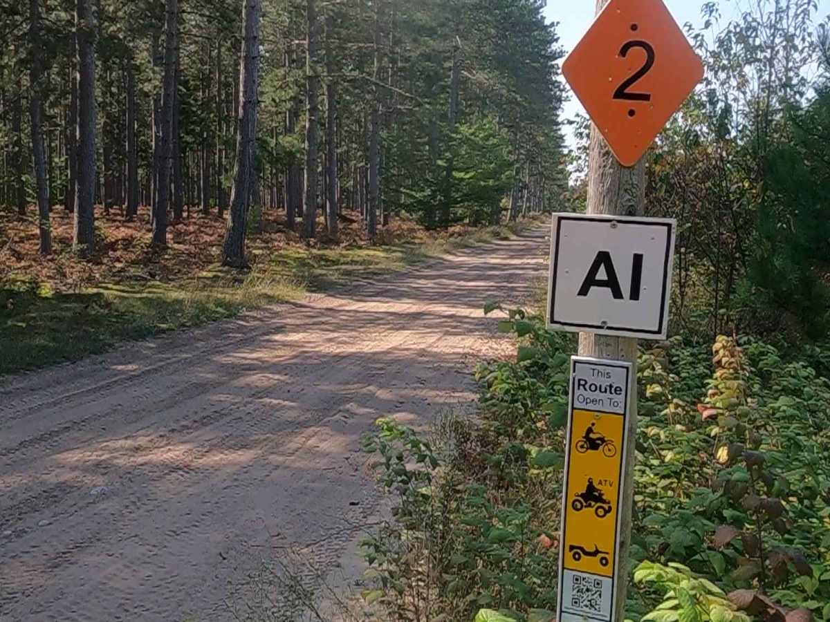
Trail Overview
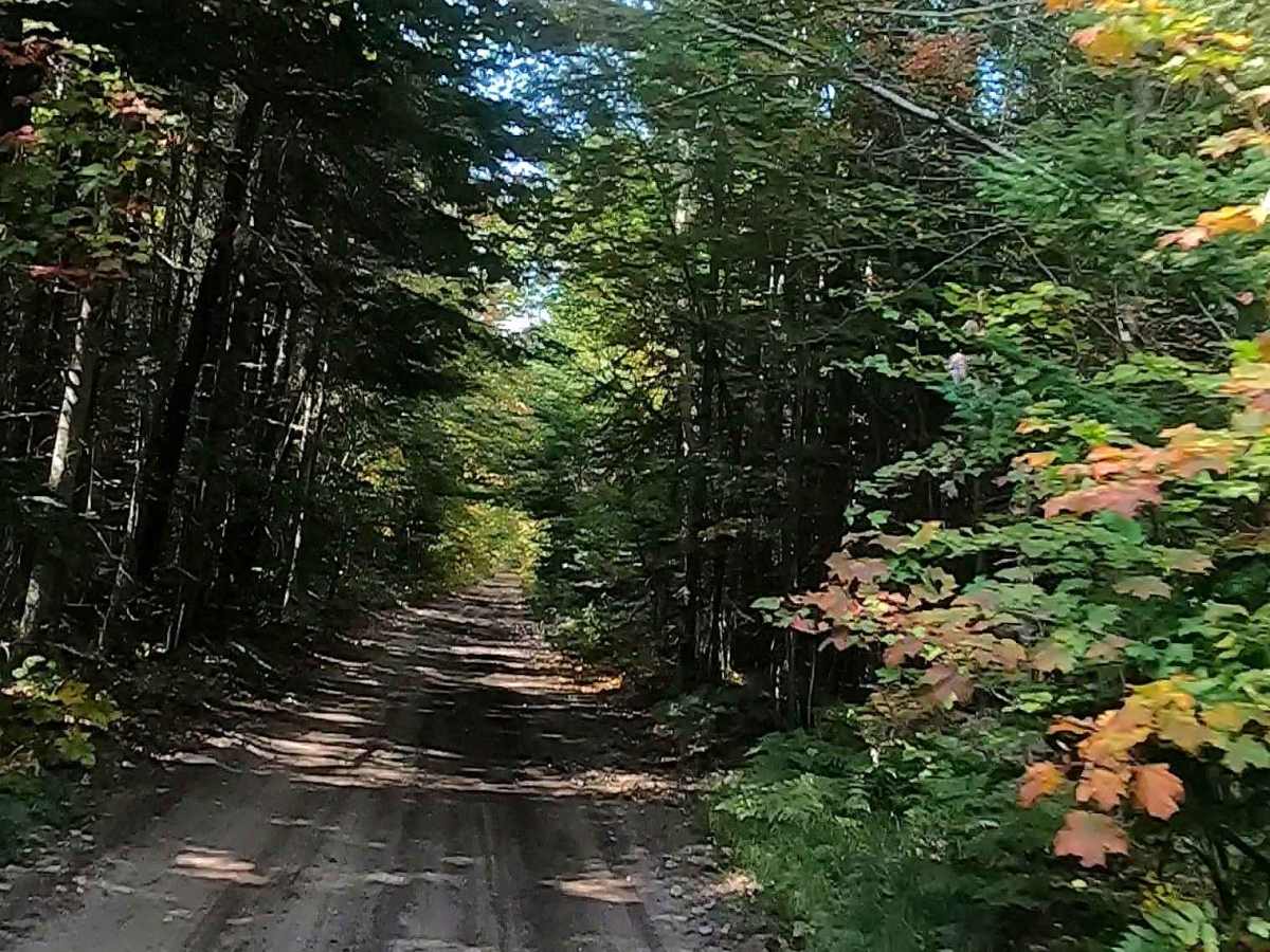
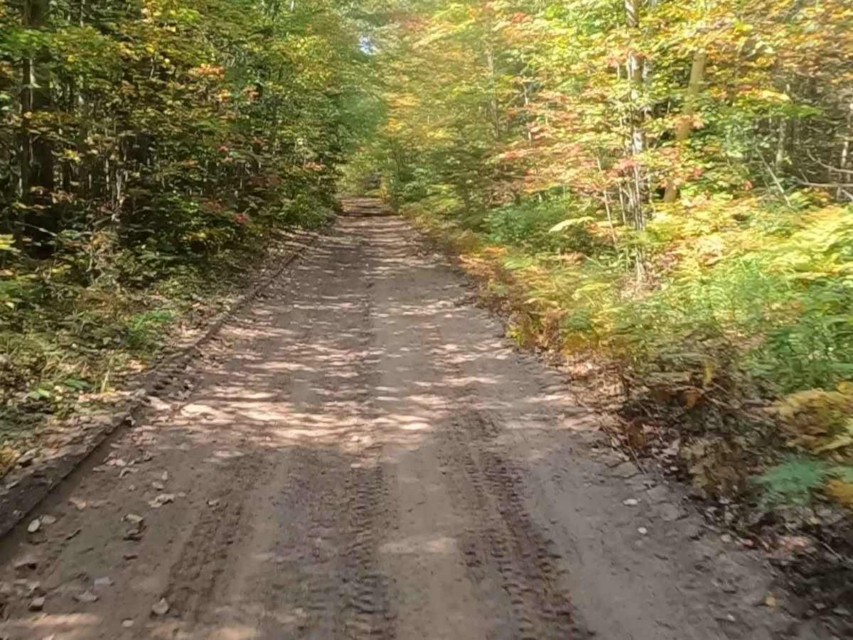
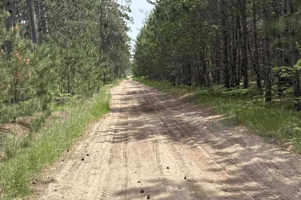
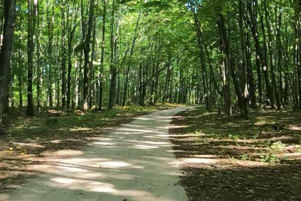
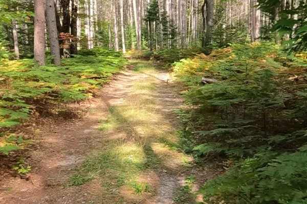
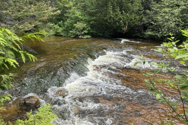
Caffey Truck Trail, also known as ORV Route AI, is a federally owned/ locally maintained, Level-2/ Level-3 forest road with a surface composition of dirt, sand, gravel, and native material. This route is currently open and in fair condition; it is a portion of a DNR route, known as ORV Route Ai (ORV use is subject to local government regulations). It connects FS 3370 -Ozark Trail to the FS -2688 Dells Mills trail and the Hiawatha Trail while crossing over and traversing parallel to the South Branch Carp River and ending near the Graymont Rock Quarry near Caffey Corner. Description created on September 17, 2025.
Difficulty
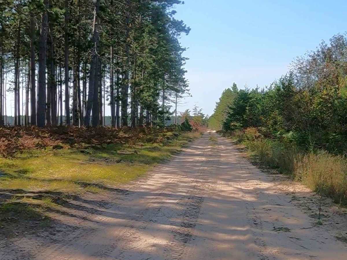
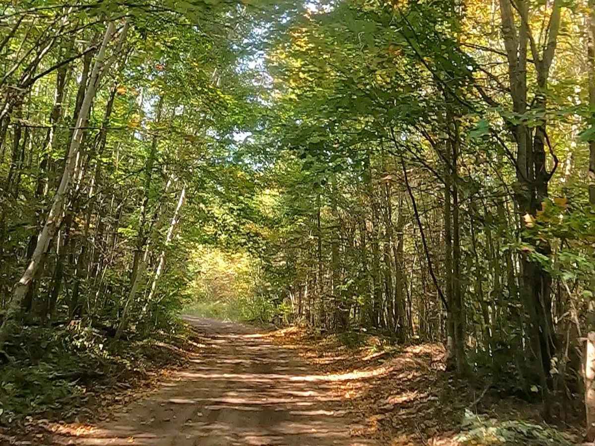
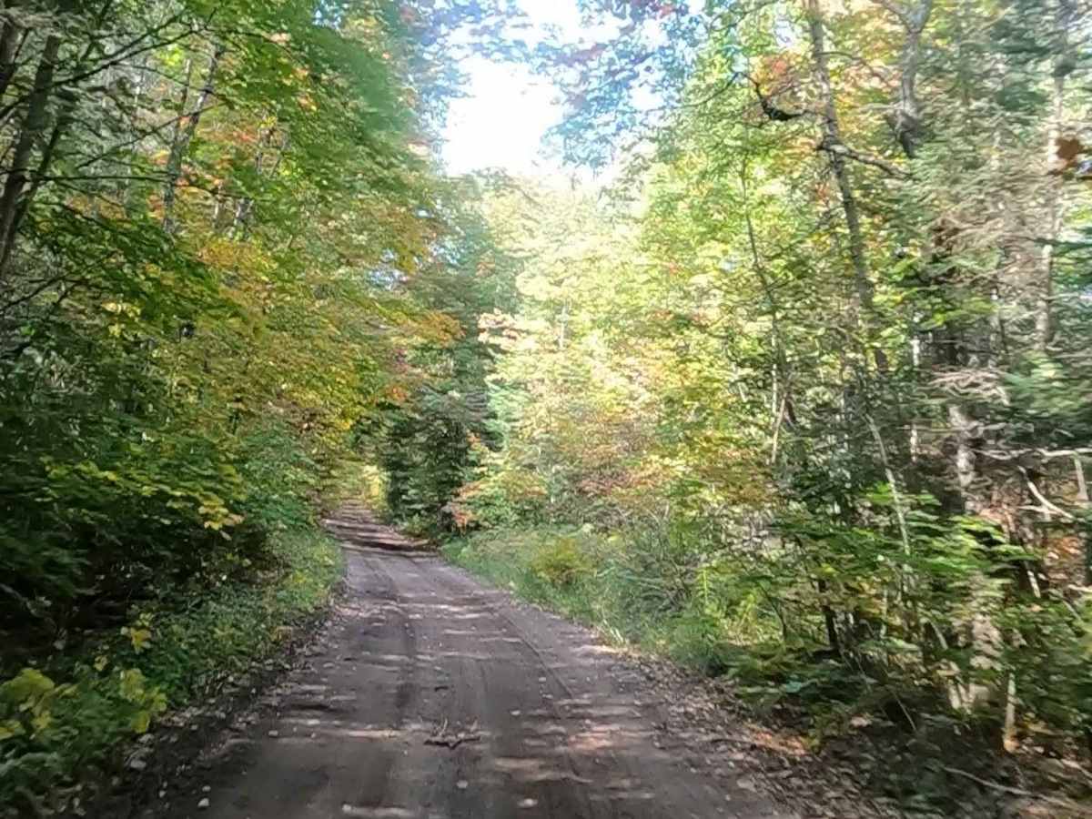
Gravel, dirt, sandy road, unmaintained after rain or snow, that may give rise to shallow water crossings and obstacles under 12 inches on the trail, including small ledges. This road is typically one to two vehicles in width, with portions that narrow down to a "Two Track" road.
History
The Caffey Truck Trail is a scenic, gravel forest road near Rexton and Naubinway. It offers a quiet, straight-through route known for its history as a former logging road, mature forests, and wetland scenery, often used for OHV, ORV, and scenic driving. Caffey Corner was a bustling early 20th-century logging settlement. It was named for Civil War veteran and postmaster William N. Caffey, with a post office operating from 1899 to 1916. It serves as a junction for H-40 and is historically linked to the Minneapolis, St. Paul, and Sault Ste. Marie Railway.