Trail Overview
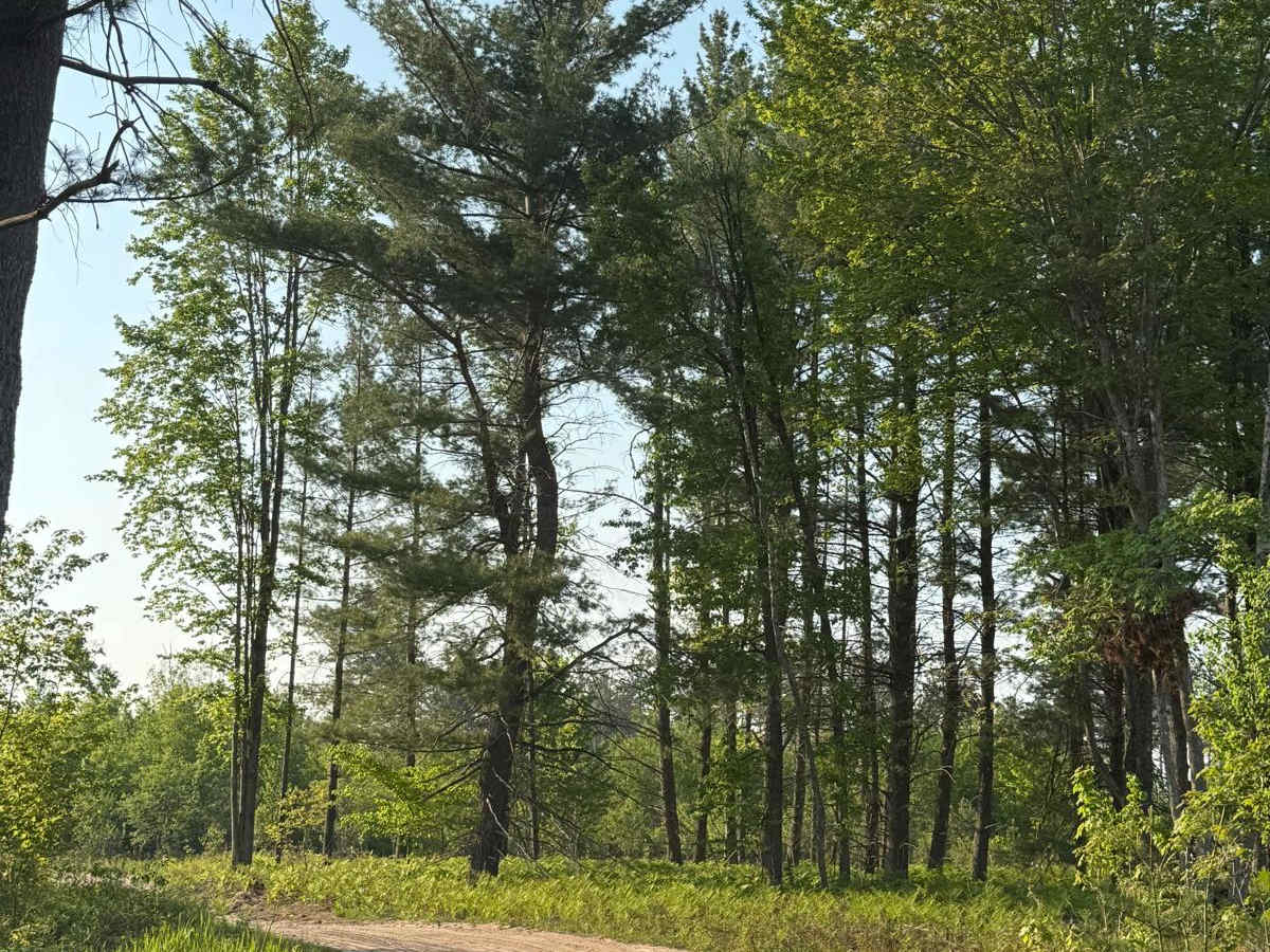
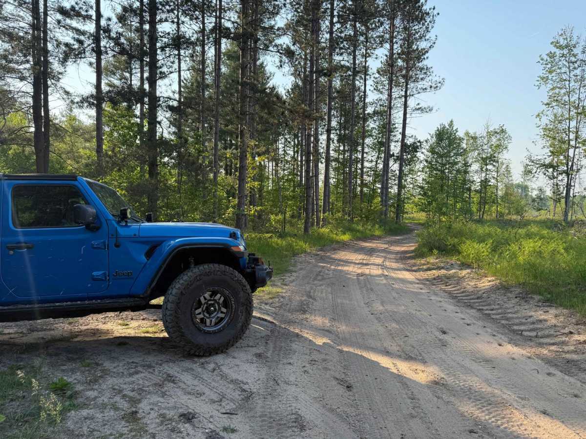
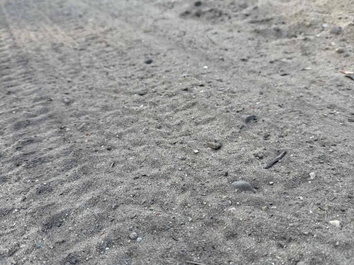
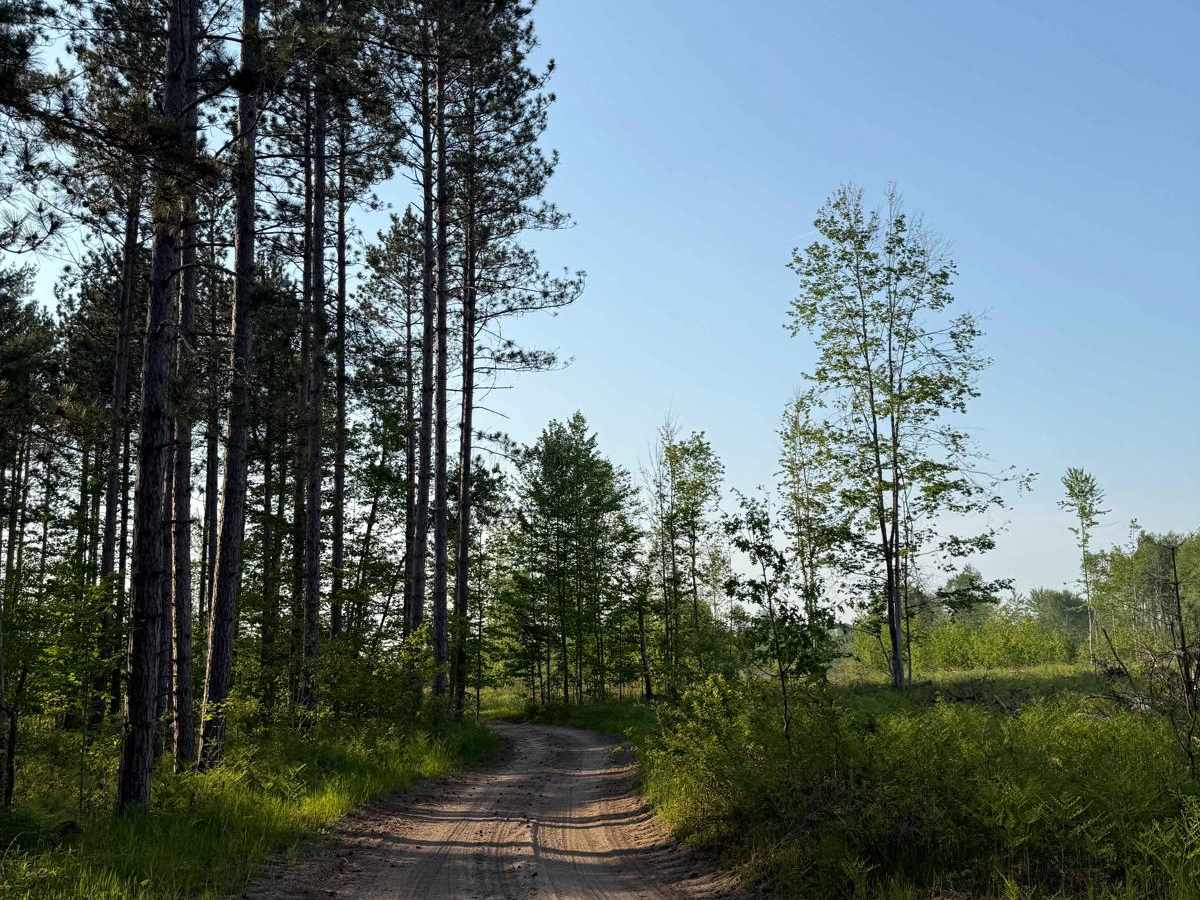
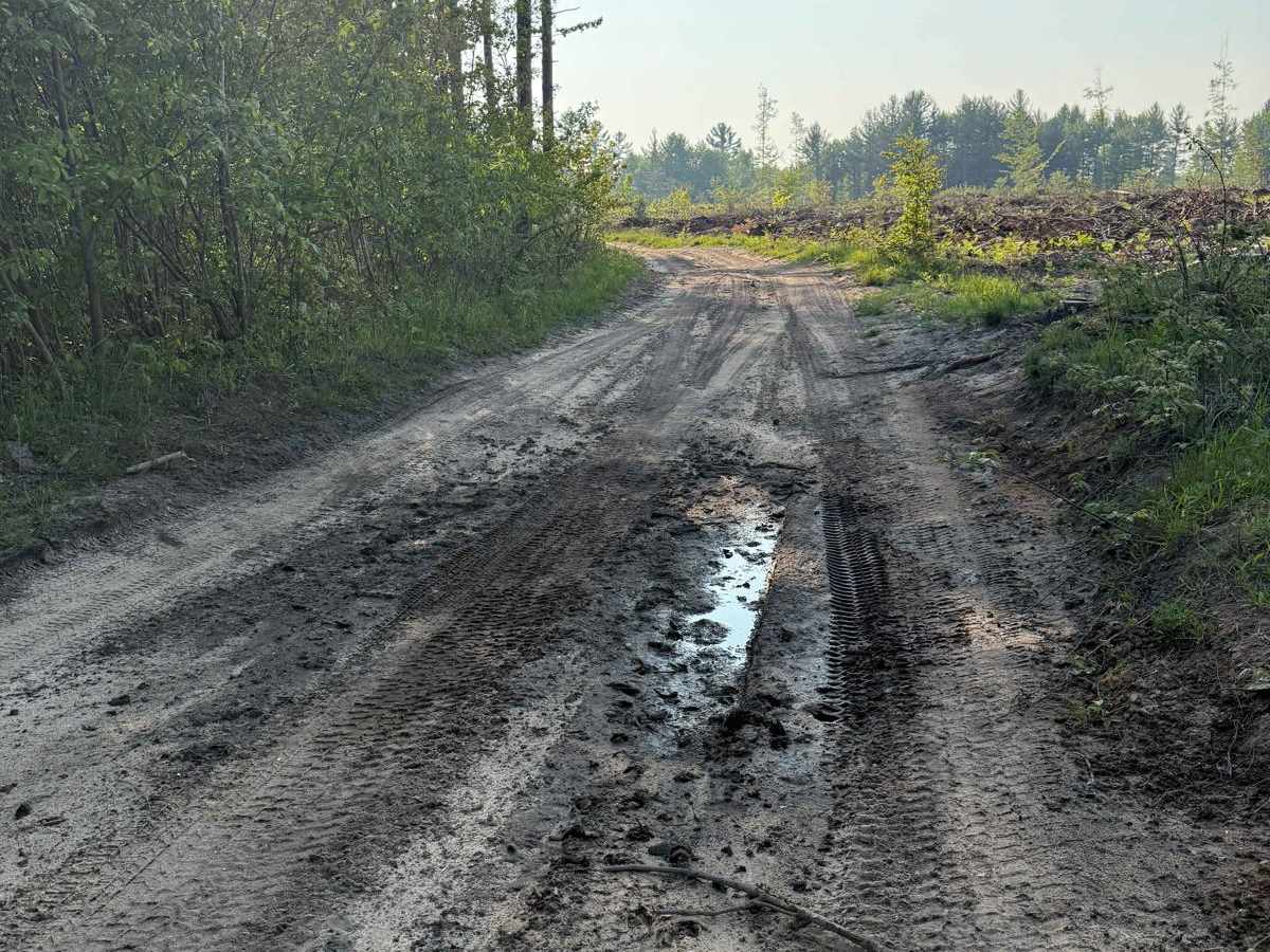
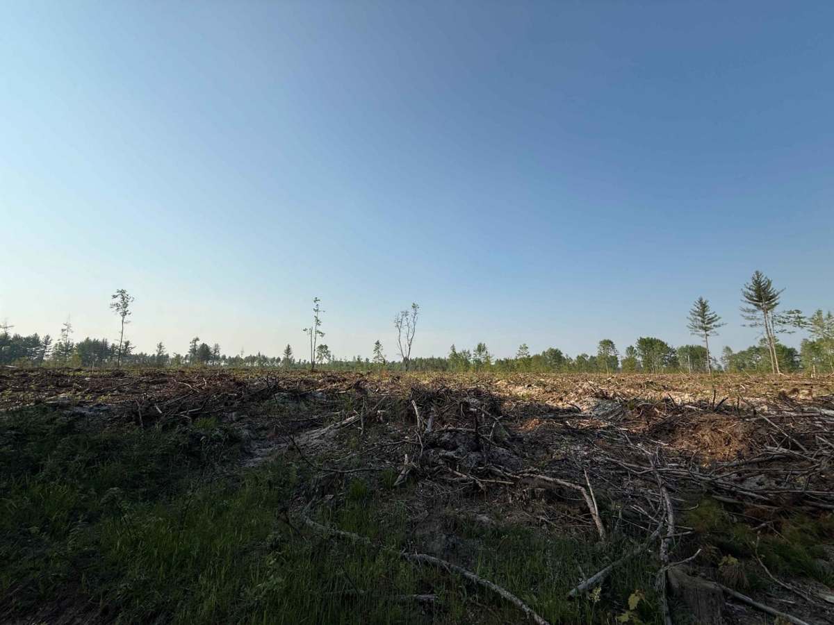
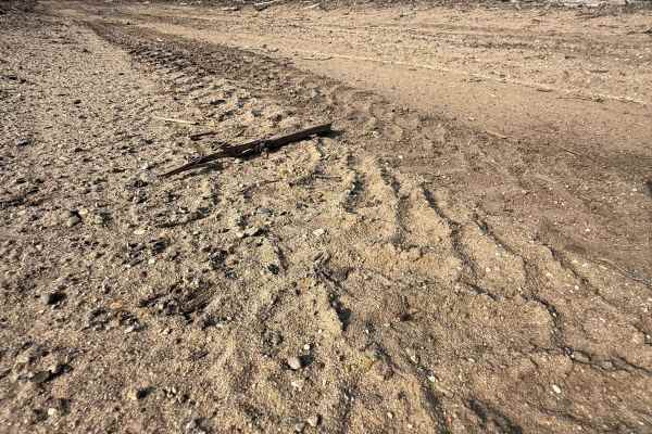
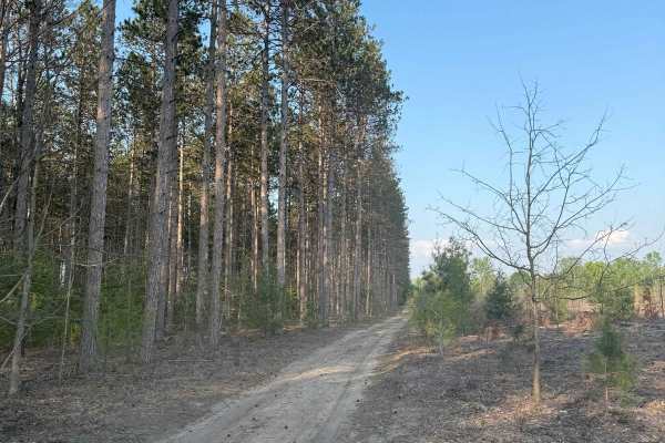
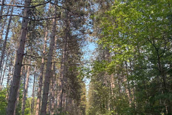
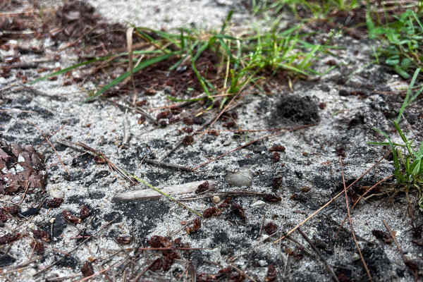
License Plate Required! Buttermilk Creek Trail is a fantastic "out and back" Michigan two-track trail. Located just south of the Manistee River in the Cadillac Forest Management Unit, it's easily accessible. To get to the start of the trail, you'll come down No. 6 Road and be presented with awe-inspiring views of the countryside. This is a unique spot for the area that contains other incredible trails. Logging operations have and do take place here. It has given this area an otherworldly appearance. Once you arrive at the start of the trail, the route surface consists of a combination of sand and dirt. Shortly after the logged portion of the trail, the track transitions into a dirt and grass classic two-track as it weaves through an abundant section of aspiring pine trees. There's a lot of lush plant life along this trail to be seen. Like most of Michigan trails, conditions are dependent on the weather. Recent rainfall can cause mud/water holes that can get rutted out quickly. Come prepared! Most of this trail is only wide enough for 1 vehicle, with limited places to pass. There is a fair amount of overgrowth along the trail, so please use caution. There is a side spur trail that leads towards the Manistee River. It often gets VERY deep with mud and water. PLEASE TREAD LIGHTLY, and be prepared before entering. Regardless of the conditions, this is an awesome trail for all to enjoy!