Trail Overview
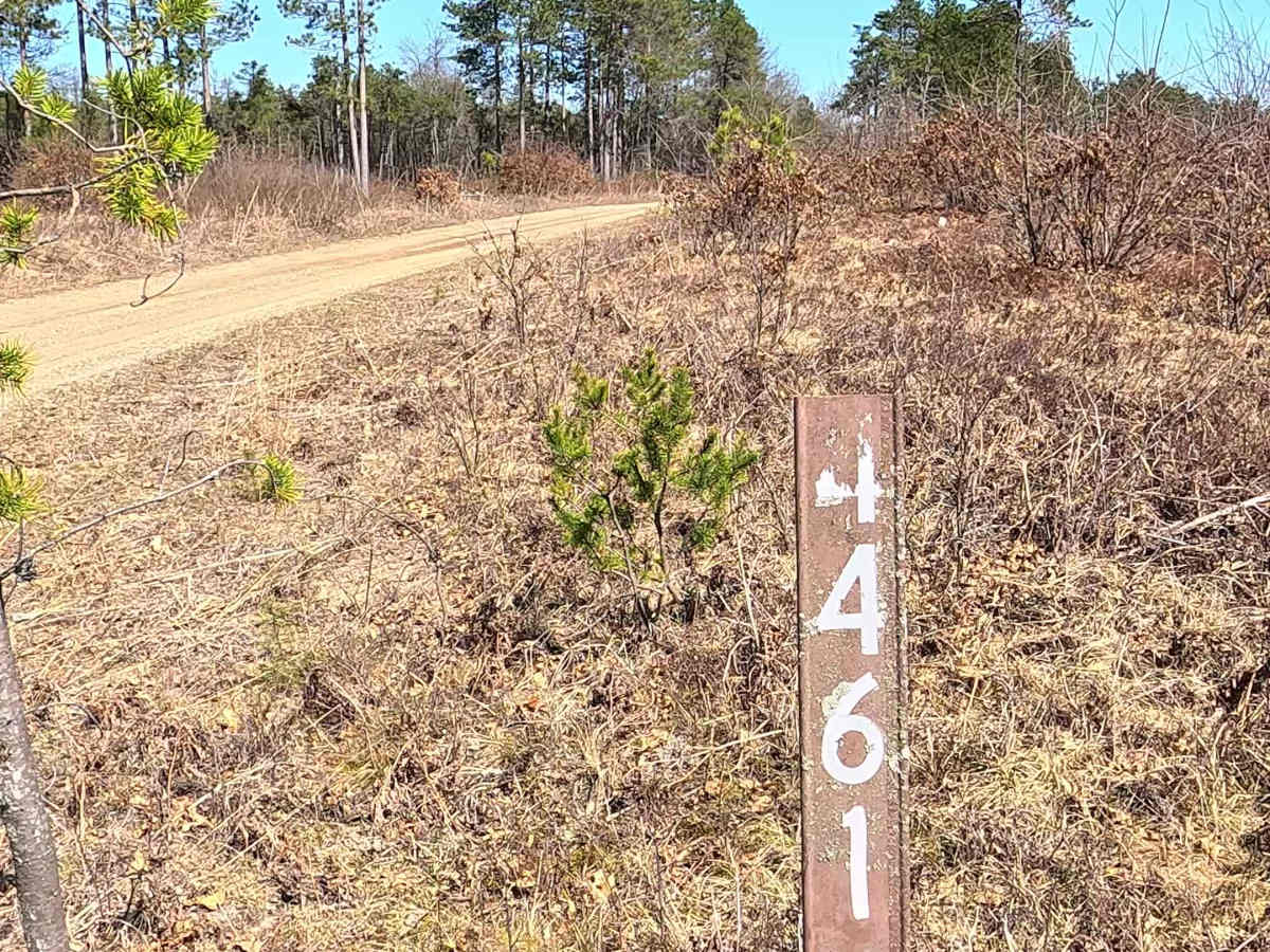
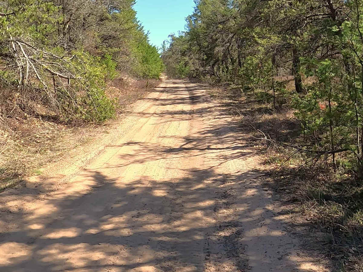
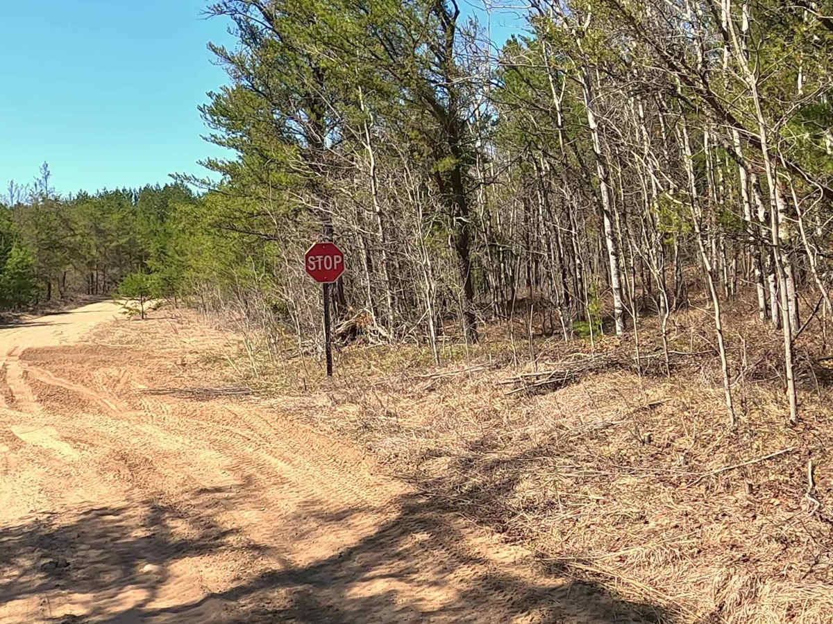
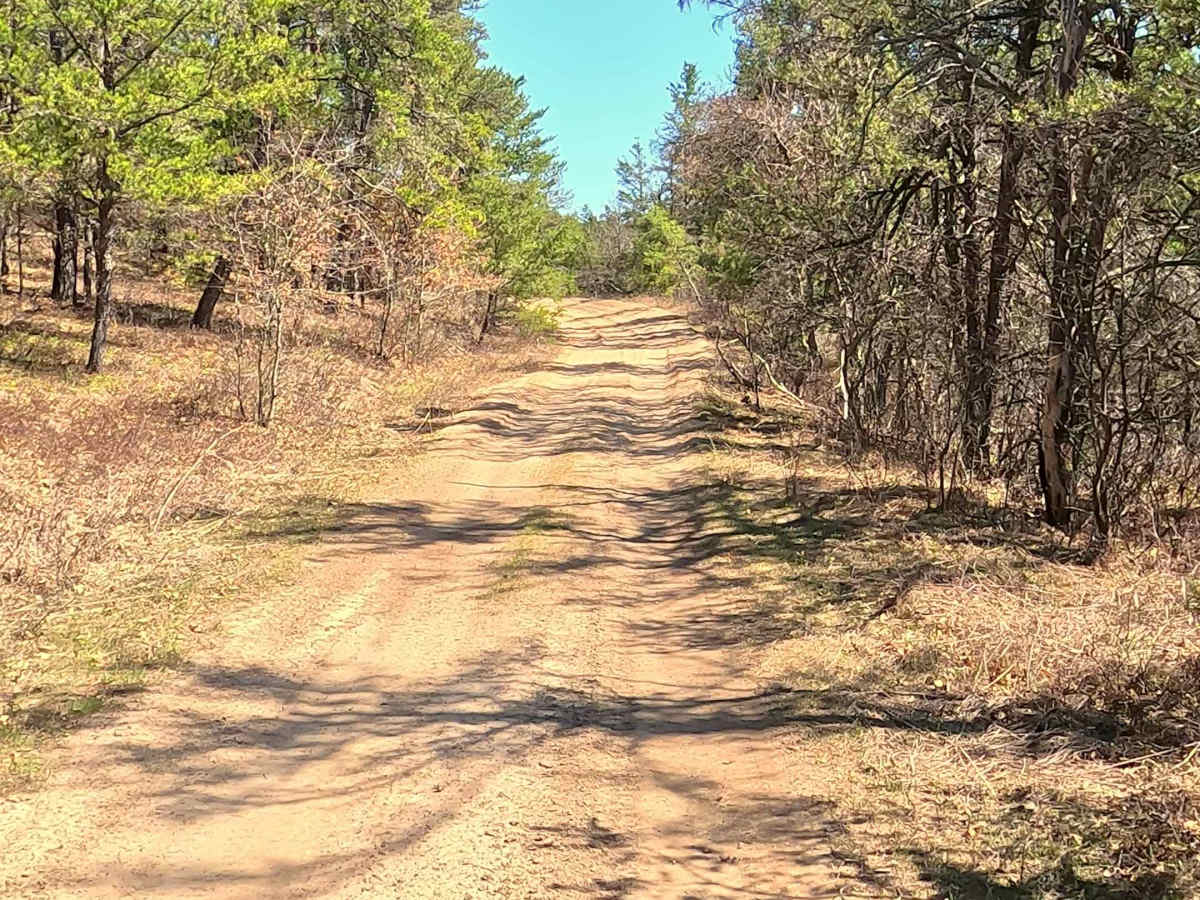
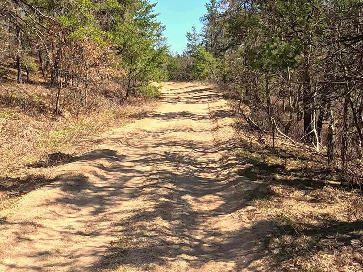
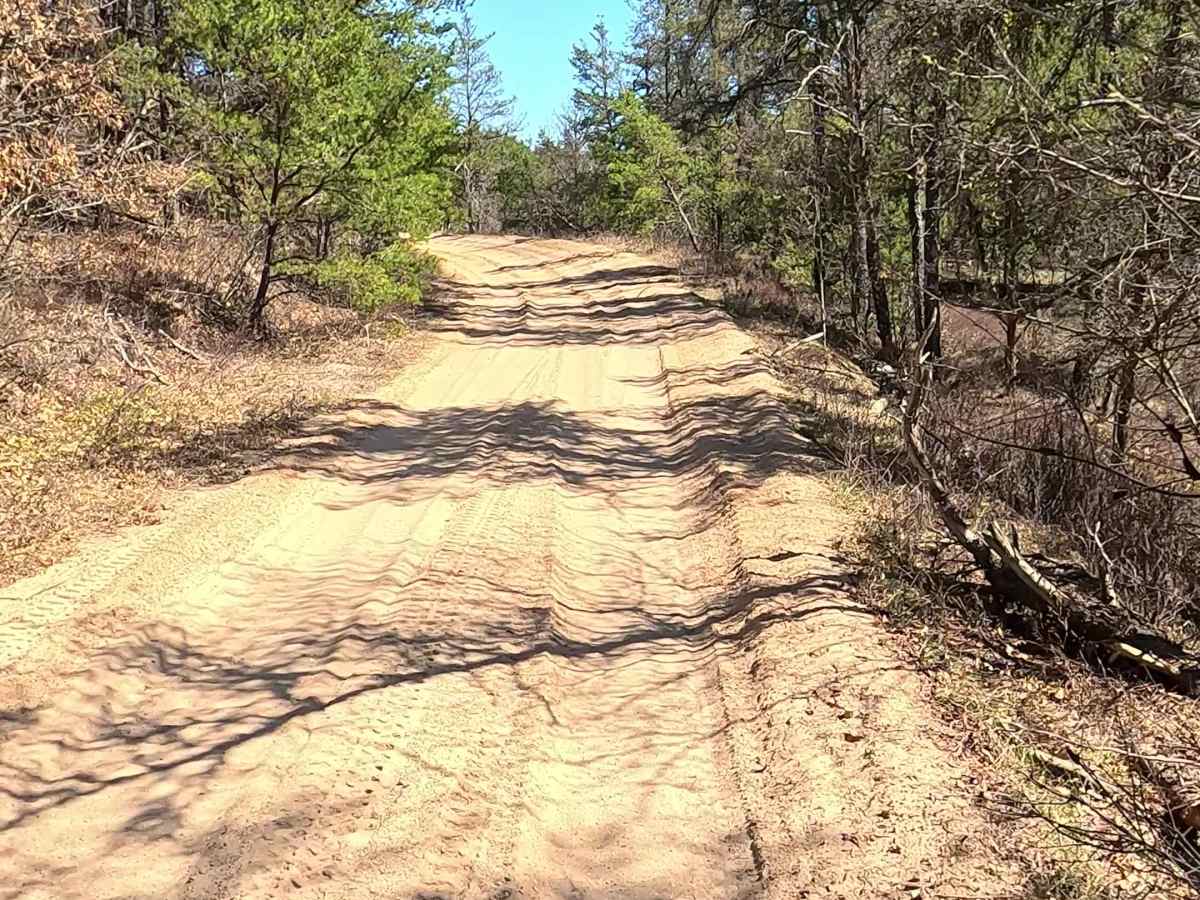
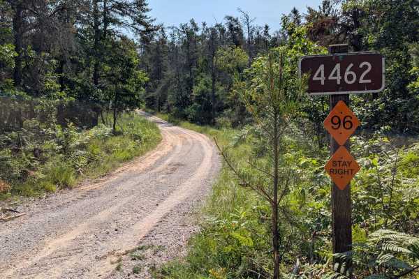
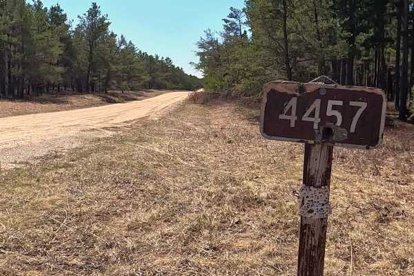
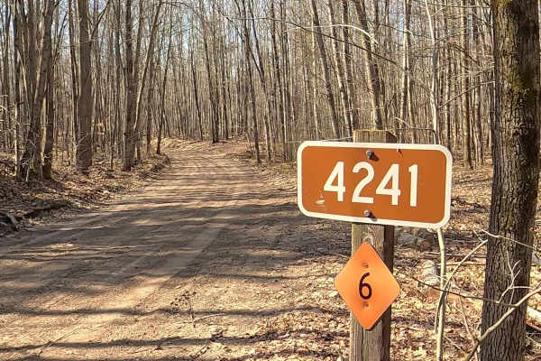
Federal Forest Service Road (FS) 4461, also known as Brainard Springs Road, is a federally owned/ locally maintained, Level-2/ Level-3 forest road with a surface composition of dirt, sand, gravel, and native material. This route is currently open and in fair condition; it is not a DNR road (ORV use is subject to local government regulations). It traverses through the Huron National Forest, connecting Hoy Road to FS 4458- Eggleston Rd, FS 4147- Deckerville Rd, FS 4460, FS 4329, FS 4013, and Mack Lake Trail.
Difficulty
Sand, dirt, gravel path, typically unmaintained after rain or snow, that may give rise to shallow water crossings and obstacles under 12” on the trail, including small ledges.
History
Brainard Springs Road, located in Mio, Michigan, is situated within an area historically defined by late 19th-century logging, the development of the AuSable River region, and the surrounding Huron National Forest. The road serves a quiet recreational area known for its proximity to fishing and natural scenery.