Trail Overview
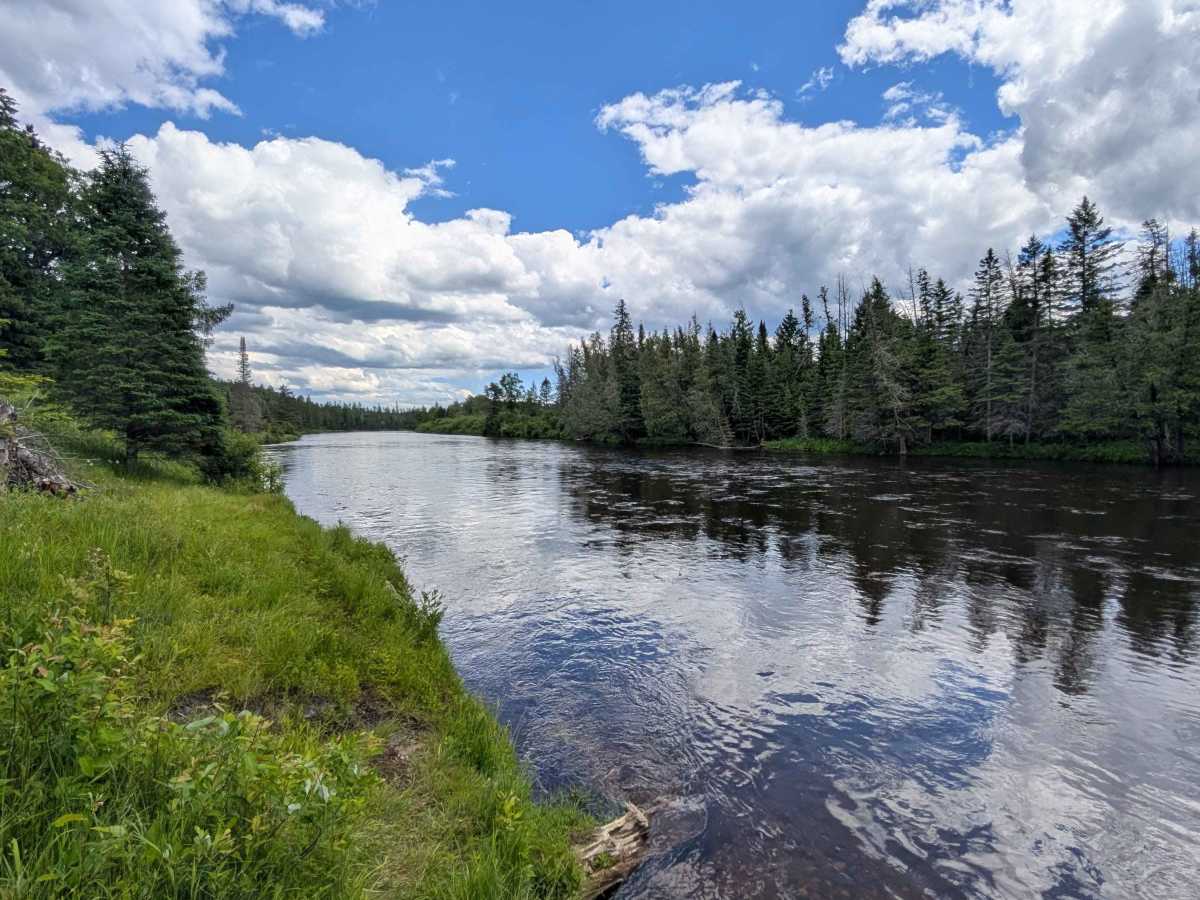
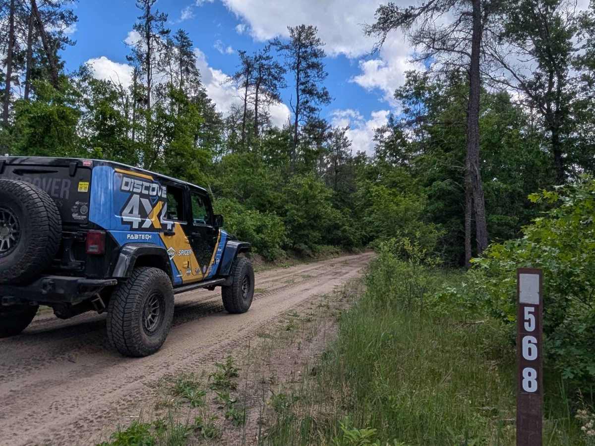
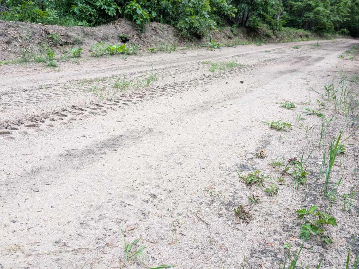
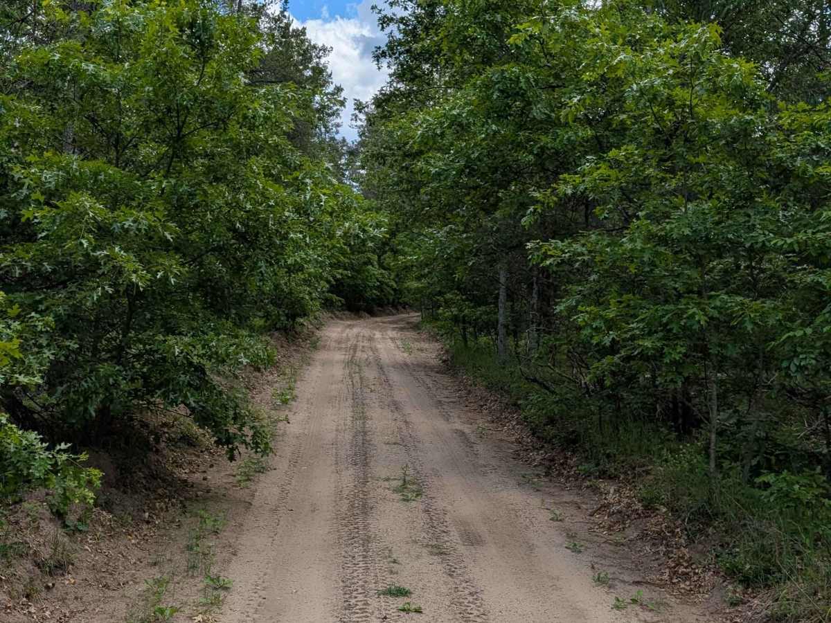
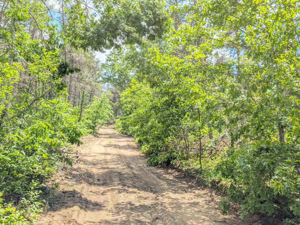
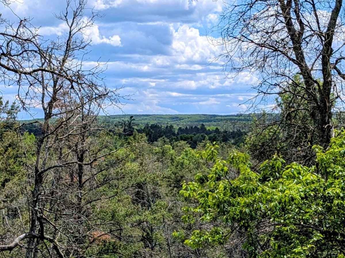
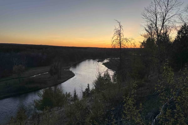
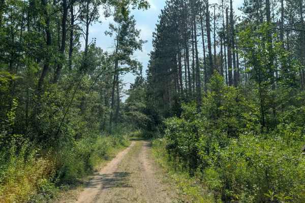
This is a dead-end trail that ends with a river overlook that is worth the drive. Drivers will start from the north off Highway 32, then pass through a few private properties before re-entering national forest lands. Heading south, the trail winds through the forest and has a nice view off to the west as it gains about 50 feet of elevation. There is a small hidden pull-off with a view approximately at the halfway point in the route. At the end, there is a turnaround parking area big enough for 8-10 full-sized vehicles. From here, drivers can take a 100-yard easy walk back to the riverview overlook. The area has an open, beautiful view of the Au Sable River. There are 20 wooden steps leading down to the river and a very small landing for those wanting a closer look or to cast a line. There is a large open area here with a sign that reads "no camping". The terrain is a hard-packed sand-dirt mix that has been groomed recently and is easy to navigate. The trail width is wide enough for a full-size vehicle the entire way.