Trail Overview
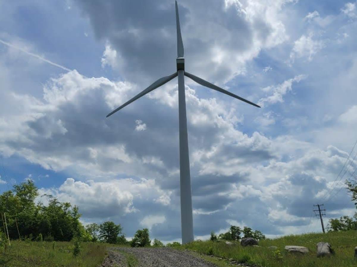
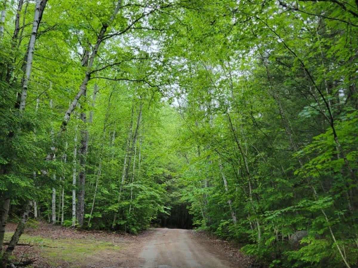
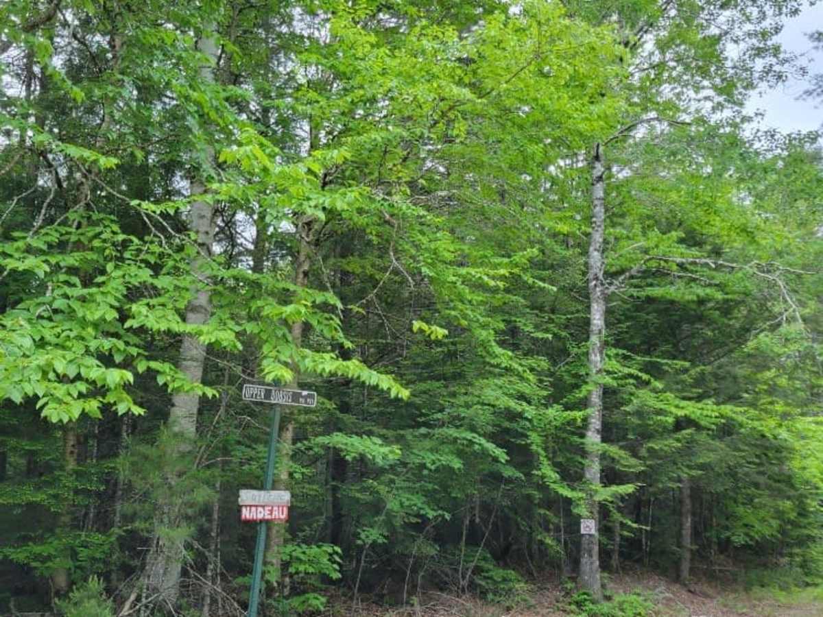
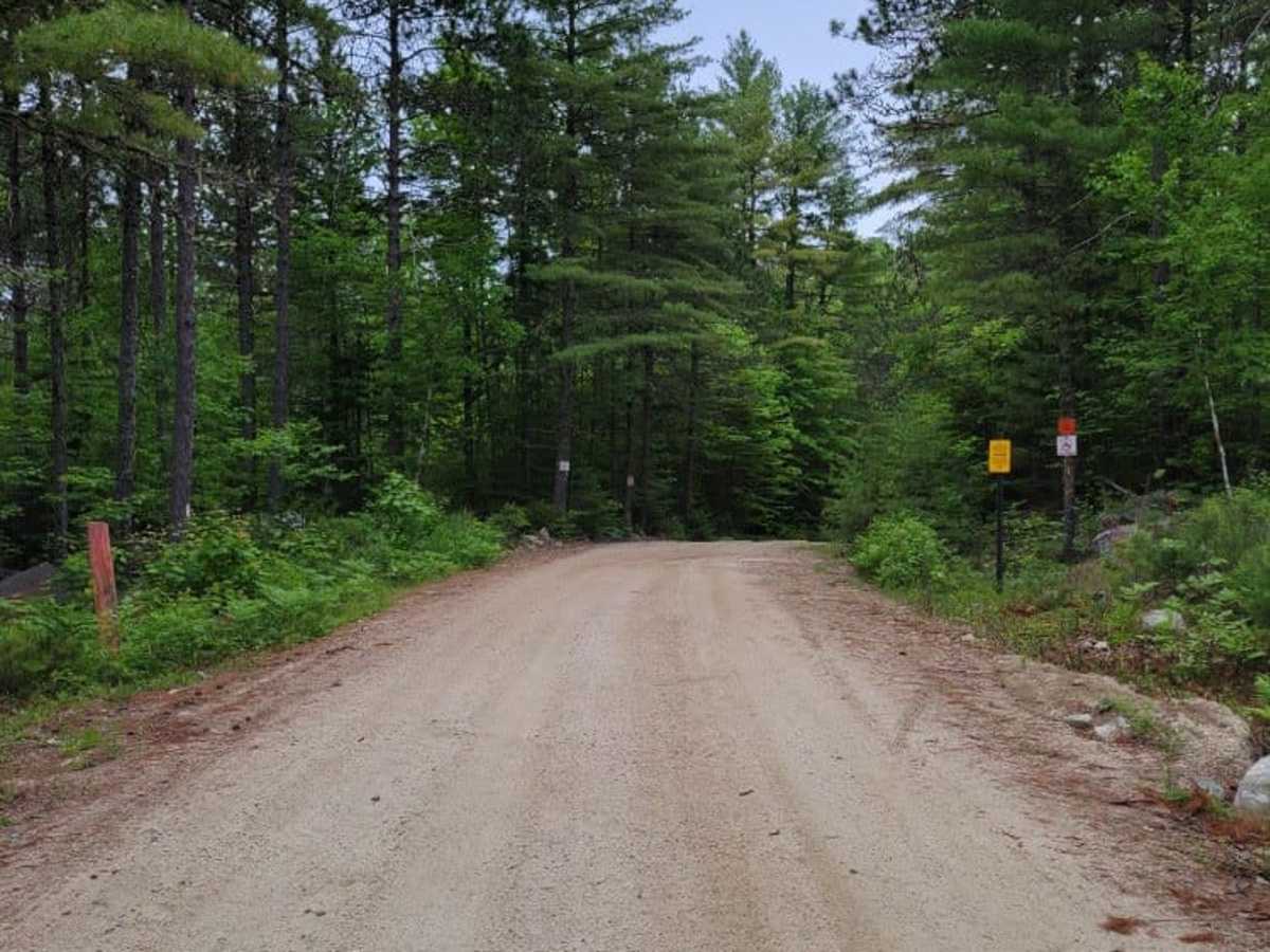
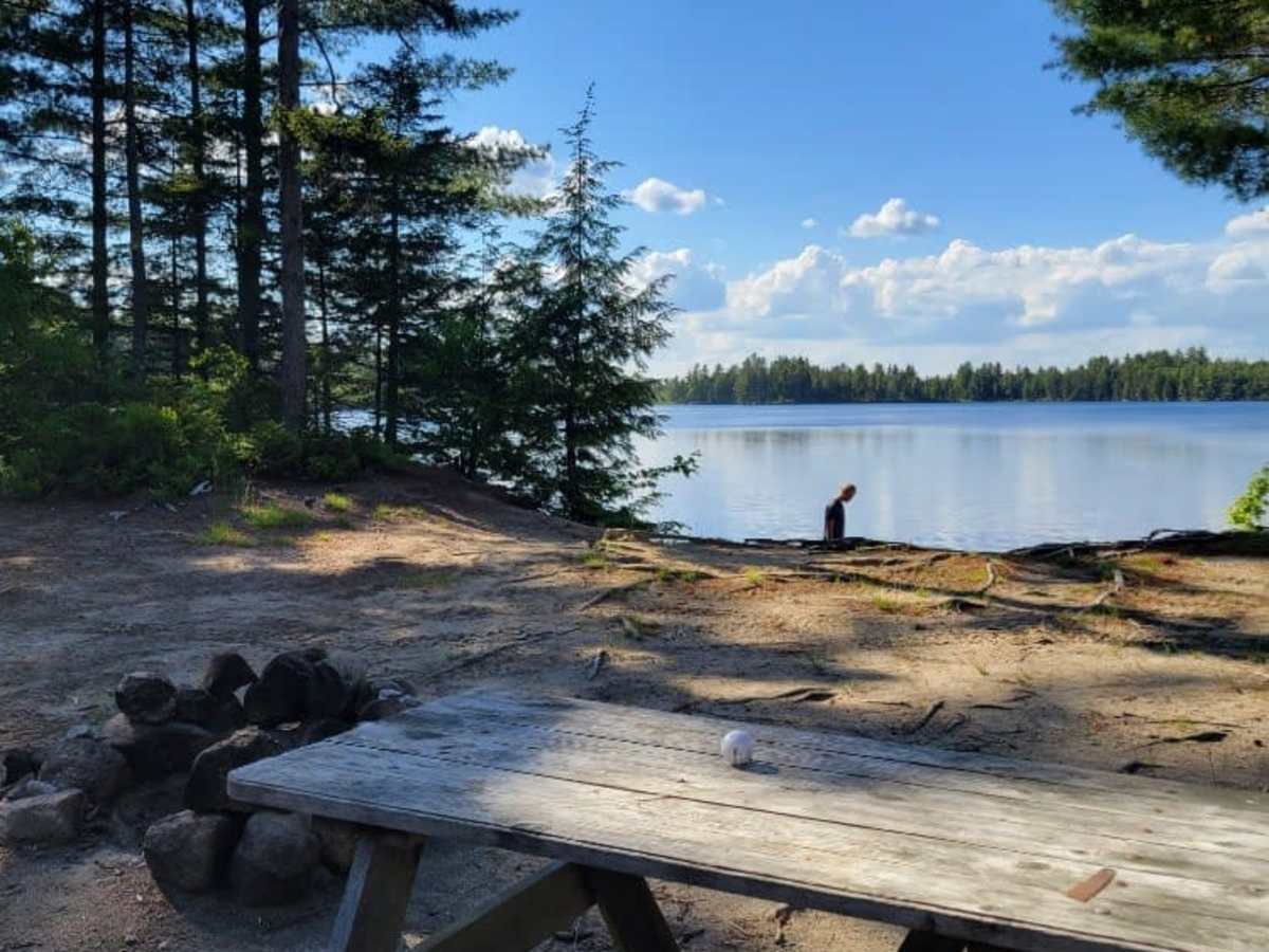
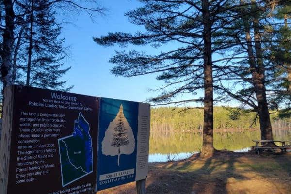
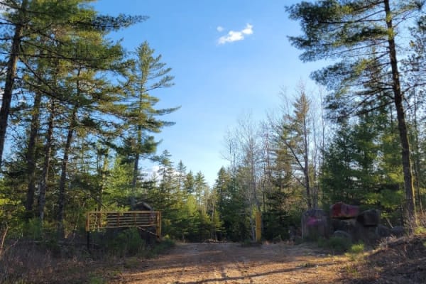
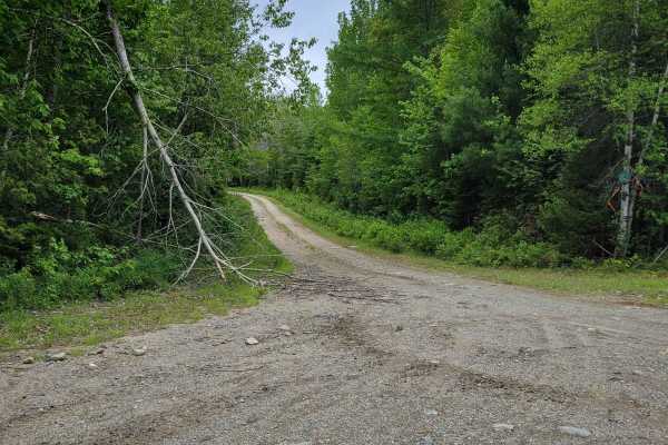
The Wind and Water Trail is a 40-mile trail that starts at Route 6 in Lincoln, Maine. At the start of the trail is a collection of windmills, each with its access road. These windmills are amazing to see up close, and some of the windmill sites open up to expansive views. Most of the trail is dirt with enough clearance for 2 vehicles to pass each other. There is a small portion about a third of the way through that is pavement, and there are narrower single-side sections of heavily wooded areas toward the end of the trail. There are a few water crossings by way of wooden bridges, and a low spot that is susceptible to flooding. The water locations offer an opportunity for fishing, and a variety of wildlife can be seen throughout the length of the trail. About halfway through is Nicatous Lodge & Cabins overlooking Nicatous Lake. Information about the lodge's availability and rental information can be found online. Just beyond the Lodge is Jack's Snack Shack, a common stopping point for trail riders looking to grab a bite to eat. Information for Jack's Snack Shack can be found online. About 30 miles into the trail is the Unknown Lake Campsite, with first come, first serve waterfront campsites and outhouses. The last of the trail is more wooded, passes by a few lakefront camps, and then ends on Skunk Hill Road just off Route 6 in Lee, Maine. There is a section that passes through Passamaquoddy Trust Land (starting at 45.24792, -68.08900) that was posted to not allow ATVs (four-wheelers).
Difficulty
Most of this trail is comprised of gravel roads, and about half of it is wide enough for two vehicles to pass each other. There are a few sections in the lower elevations that have some road flooding of about 12-inches in depth (this will vary).