Trail Overview
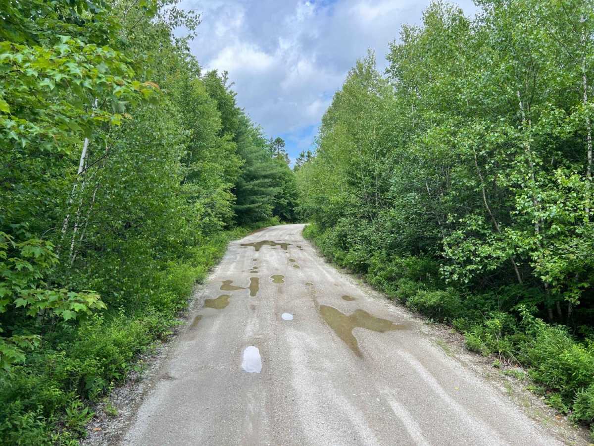
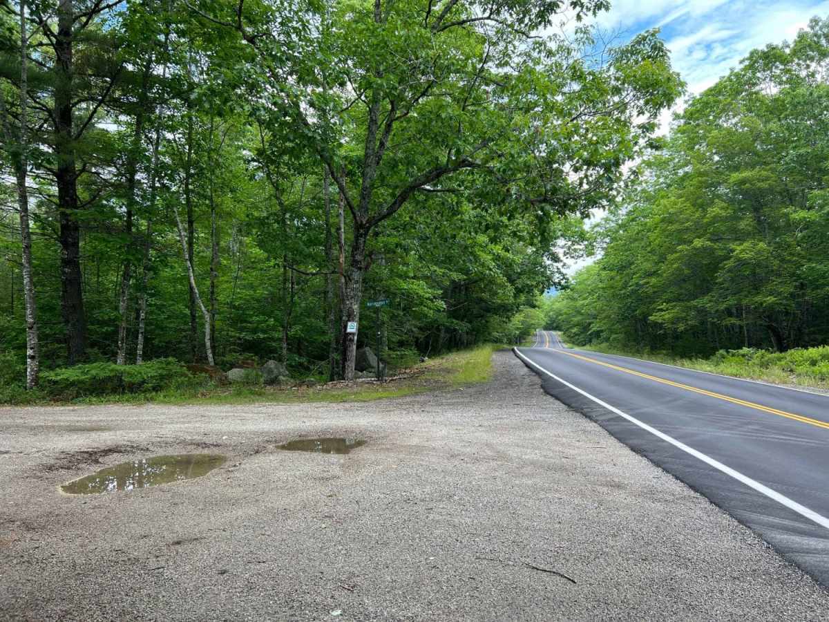
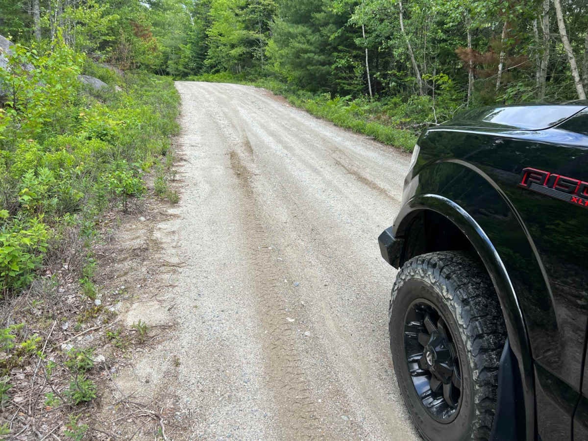
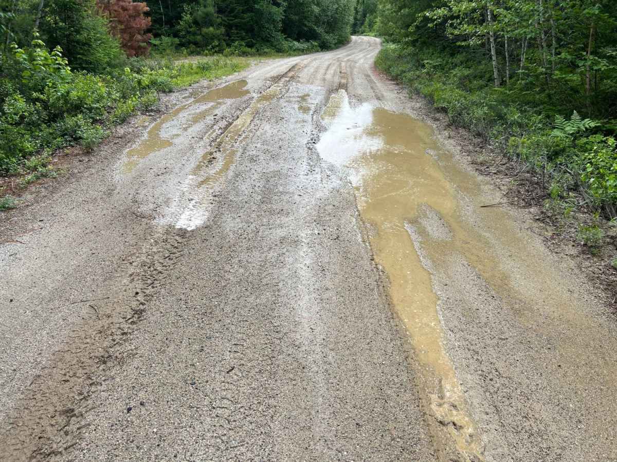
Narraguagus Lake is an easy, highly accessible point-to-point gravel route perfect for beginners, scenic cruisers, and all vehicle types, including stock four-wheel-drive vehicles, SxSs, and high-clearance two-wheel-drive rigs looking to explore the remote backcountry of eastern Maine. Starting near the shores of Narraguagus Lake, this 11.26-mile trail serves as the southern gateway to a larger network of trails heading north, designated as Trail 501. The route features a gentle elevation profile, climbing from a minimum elevation of 231 feet to a maximum of 572 feet, with approximately 723 feet of cumulative elevation gain. The primary surface consists of well-maintained gravel, but drivers should expect soft, muddy sections, especially after heavy rains, which can add a minor challenge to an otherwise straightforward drive.
As the trail winds northward through the quiet forests of Washington and Hancock counties, it offers a peaceful journey through remote woodlands before passing beneath a massive, striking array of modern wind turbines. These towering structures provide an impressive contrast to the natural landscape and serve as a prominent landmark along the route. The trail continues past these turbines before eventually connecting with South Spectacle Pond Road, allowing for extended exploration of the surrounding trail systems. Given its low-lying areas and dirt-and-gravel composition, the late spring through autumn months offer the best driving conditions, though spring travelers should remain cautious of deep mud holes during the annual thaw.
Access Description
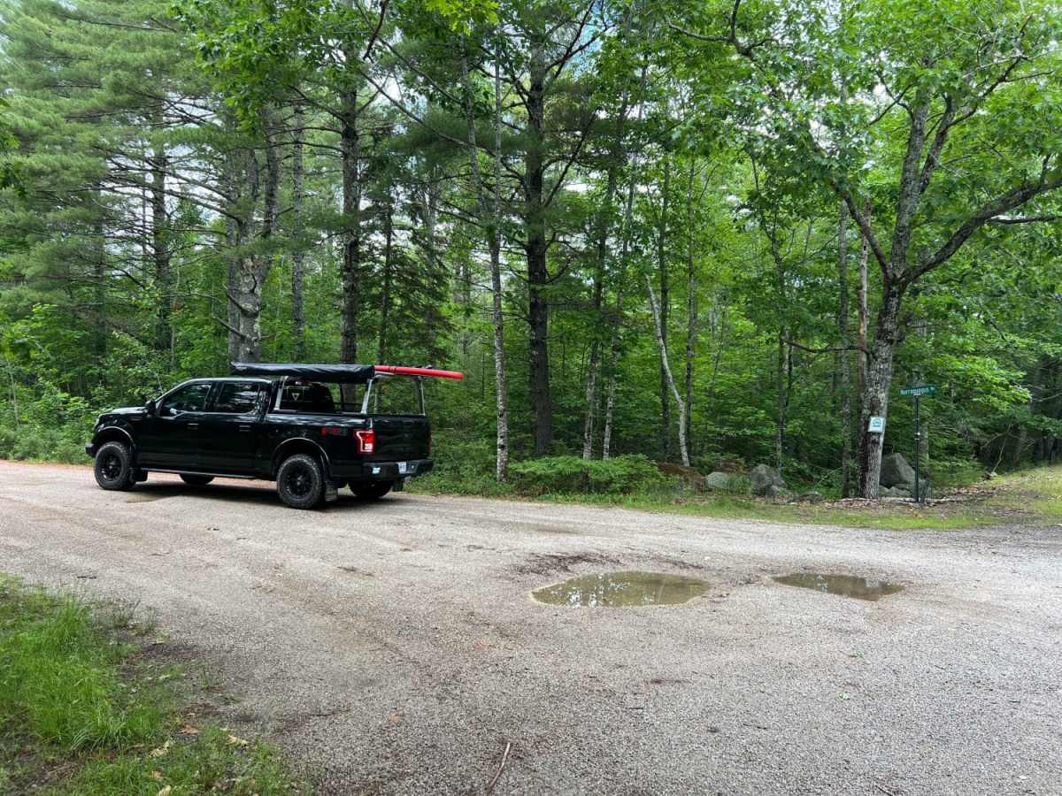
The trail is highly accessible and can be easily traversed by stock four-wheel-drive vehicles, SxSs, and high-clearance two-wheel-drive rigs. While the road is mostly well-maintained gravel, drivers should be prepared for soft, muddy spots, particularly in low-lying areas during the spring thaw or after heavy rainfall.




 Offroad